1 active Katmai alert
- CautionResuspended volcanic ash near KatmaiResuspended volcanic ash is being carried southeast near Katmai and the Valley of Ten Thousand Smokes; account for the health and aircraft hazards.Official details
Sight · Katmai National Park
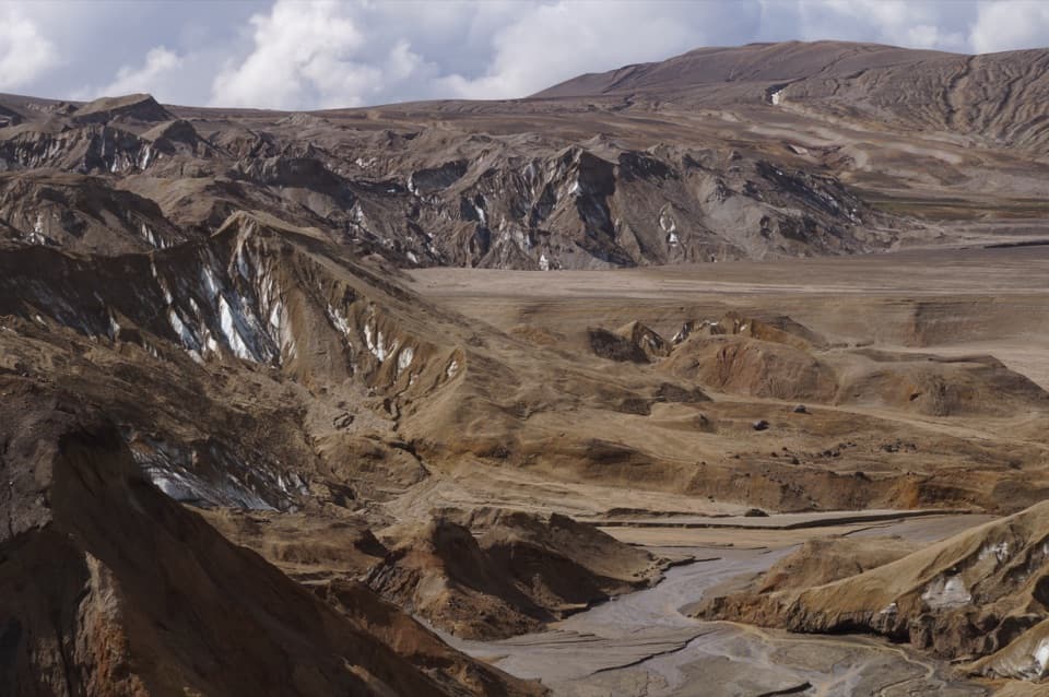
Ash-draped glacier fronts reveal bright ice in a volcanic valley.
Overview
Map
Plan your stop

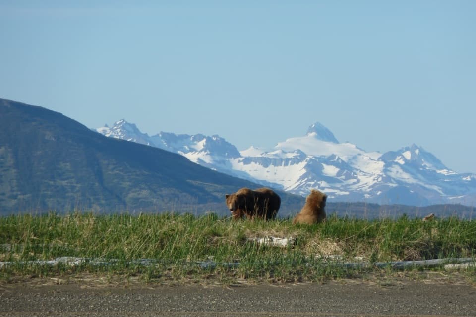
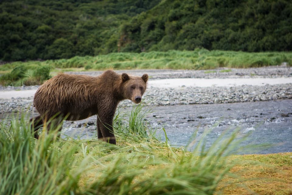
The highest, rockiest slopes around here are a summer buffet for grizzly bears.
Katmai Tour Guide
Parkwolf is a GPS audio tour guide for Katmai National Park. As you drive, it chimes in with what’s ahead: hidden gems, upcoming stops, history, geology, and wildlife, right through your car’s speakers.
“Fantastic app with many points of information… It’s great to just turn on while you’re driving and it gives you an audio tour of the national Park. We love it!!!!”


Guide
Knife Creek Glaciers are a group of glacier fronts in the Valley of Ten Thousand Smokes, below Mount Katmai's caldera. The lower slopes are draped in up to six feet of 1912 ash and pumice; dark, dusty ridges break open to streaks of white ice and meltwater. This is a remote backcountry outing, not a roadside viewpoint. Reach the Valley on the Valley of Ten Thousand Smokes Tour or arrange a drop-off and pickup through Katmailand. No exact glacier-toe access point or maintained route is identified, so treat the map pin as an area marker and confirm your approach before setting out. Frame the bright ice against the ash-darkened ridges to show what makes these glaciers unusual.
Getting close means hiking in, and your approach may require crossing Knife Creek. It has only a few fordable spots, and glacial sediment can hide its depth and clog water filters. Cross early, when glacier runoff is lower, and wait for water to recede if needed. Drinking water may be scarce in the Valley's center by August, so plan to carry what you need. Keep all food in bear-resistant containers; free containers are available at the King Salmon and Brooks Camp visitor centers.
On June 6, 1912, Novarupta erupted for about 60 hours, sending ash as high as 20 miles and pyroclastic flows down the Ukak River valley at more than 100 miles per hour. The eruption transformed about 40 square miles of the valley into barren ash and pumice. Thick ash insulates Knife Creek's lower glaciers, helping them change more slowly than you might expect. The mix of pale ice, dark volcanic debris and wide bare slopes shows how closely the glaciers are tied to the eruption.
Mount Katmai's caldera sits about 3,000 feet above the glacier group and is more than 2,000 feet deep; the summit collapsed during the 1912 eruption. It is not a short continuation of a glacier-front visit: all routes to the caldera cross crevassed glaciers. Treat the ice fronts and the caldera as separate backcountry objectives.
Wildlife
 753 sightingsBrown BearMost seen around 7 PMSighting map
 55 sightingsSockeye SalmonMost seen around 11 AMSighting map
 15 sightingsWolfMost seen around 9 PMSighting map
 68 sightingsBald EagleMost seen around 5 PMSighting map
 19 sightingsMooseMost seen around 6 AMSighting map
 19 sightingsBelted KingfisherMost seen around 7 AMSighting map
Sighting maps show where each species has been reported across Katmai. Wildlife moves, so no sighting is guaranteed.
Keep exploring
Parkwolf’s Katmai ranking

The audio tour guide for the drive, plus offline maps, trails, and wildlife heatmaps for when the signal drops.