Pros & cons
PROS
- Dramatic, lake-filled volcanic caldera born of the 1912 eruption
- Best appreciated by flightseeing with sweeping views of the volcanic cluster
CONS
- No amenities or trails; access involves serious backcountry and glacier travel
- Unstable inner walls and crevasse hazards make rim approaches dangerous
Overview
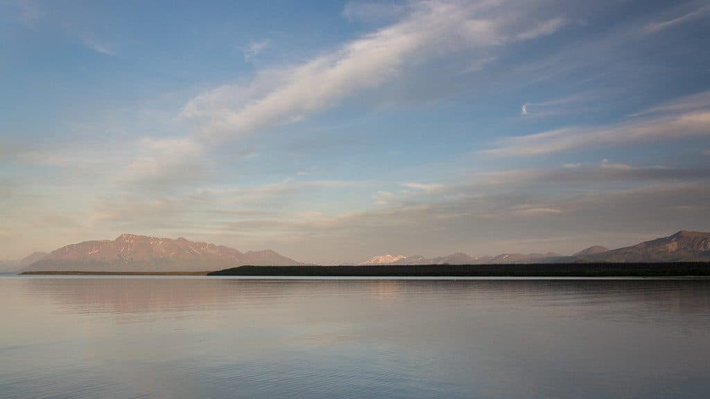
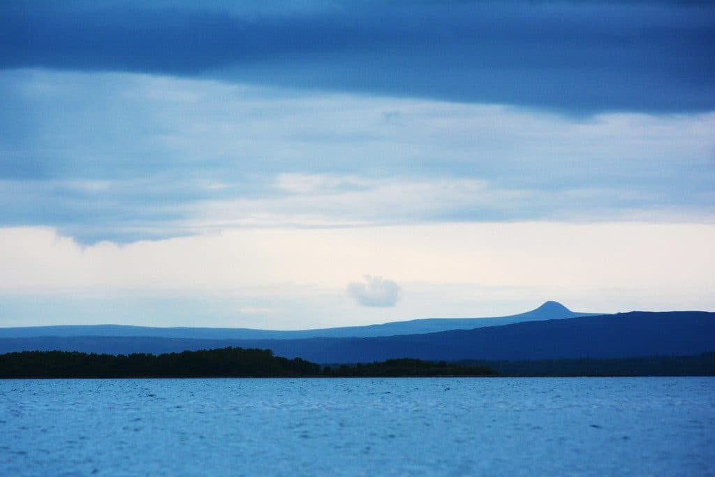
If you’re here for raw, planet-making drama, the Mount Katmai Caldera delivers. It collapsed during the 1912 Novarupta–Katmai eruption—the largest of the 20th century—when magma drained from beneath Mount Katmai and the summit gave way. Today, a deep, steel-blue lake fills the crater and glaciers drape the rim, while the surrounding peaks remind you that this landscape is still very much alive.
What You’ll See
Expect a broad, roughly 4‑km-wide crater with a lake that’s now over 200 meters deep (about a quarter kilometer). Several glaciers spill from the upper caldera walls toward the lake, and the walls themselves are steep and unstable. It’s a stark, beautiful place—more lunar than pastoral—where wind, ice, and ash are always reshaping the scene.
How People Typically Visit
Most visitors don’t hike to the caldera; they see it from the air on flightseeing tours. On the ground, the usual gateway is Brooks Camp. From there, a concessioner bus travels a 37‑km dirt road to the Valley of Ten Thousand Smokes Overlook. A steep footpath drops from the overlook to the ash-flow plain, but beyond that you’re in true backcountry with no maintained trails, tricky stream crossings, and loose ash and gravel underfoot. Approaching the caldera rim itself involves glacier travel with crevasse hazards and is only for competent alpine parties with the right gear.
Geology in a Nutshell
The 1912 event vented at Novarupta, about 10 km from Mount Katmai, but the magma withdrawal beneath Katmai triggered the caldera collapse. Intense seismicity accompanied the event, and a post-collapse dome was later drowned by the caldera lake. It’s a rare example of a caldera that formed while the eruption vent was offset from the collapsing edifice.
Conditions and Hazards
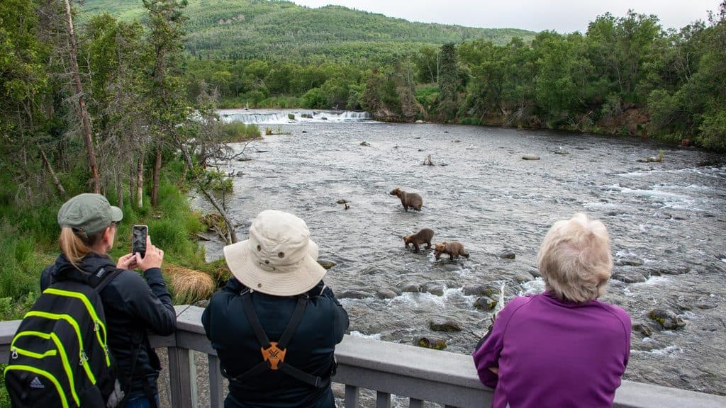
Count on wind, rain, and cold in any season. Strong winds can loft loose 1912 ash into the air; that’s not a sign of new activity, but it can be rough on lungs and eyes and is a concern for aircraft. On the ground, expect route-finding challenges, fast and icy streams, crevasses on glacier routes, unstable volcanic rubble, and abundant brown bears.
Amenities and Basecamp Reality
There are no built amenities at or near the caldera—no toilets, water, shelters, or signage. Brooks Camp is the service hub for the park (restrooms, information, lodging and campground nearby, and the bus to the Valley). Beyond Brooks, it’s wilderness.
Best Time to Visit
Mid to late summer offers the best weather window, but it’s still Alaska—storms happen. If you’re flightseeing, build in buffer days for clouds and wind. If you’re heading to the Valley by bus, reserve seats in advance and plan for a long, full day. Ground approaches toward Novarupta or the caldera rim should only be attempted in stable summer conditions by well-prepared teams.

Where it is
58.2794, -154.9517Tips for Mount Katmai Caldera
- 01See it by air for the safest, most rewarding views; book early in summer.
- 02From Brooks Camp, reserve the bus to the Valley of Ten Thousand Smokes well ahead.
- 03Past the overlook there are no maintained trails—expect route-finding and stream crossings.
- 04Do not attempt the caldera rim without glacier travel skills and proper gear; inner walls are unstable.
- 05On windy days, 1912 ash can blow—carry eye protection and a simple face covering.
Near Mount Katmai Caldera
All places →All trails →
0 mi awayMount KatmaiCaldera-capped volcano born in the 1912 Novarupta eruption
1.5 mi awayCrater LakeRemote caldera lake born from Katmai’s 1912 eruption
6.3 mi awayTrident VolcanoRemote three-peaked volcano best by VTS bus or flightseeing
7.3 mi awayMount GriggsRemote stratovolcano with active fumaroles and serious backcountry commitment
35.6 mi awayBrooks River Elevated BoardwalkElevated stroll to world-class bear viewing on the Brooks RiverEasy · 2.2 mi · 1 hr
Brooks Falls TrailShort, flat walk to world-class brown bear viewing platformsEasy · 1.2 mi · 30 min
Dumpling Mountain TrailBig Brooks Camp views, real tundra, and real bear countryChallenging · 8 mi · 5.3 hr
Cultural Site TrailA flat, 0.5-mile walk to a reconstructed Alutiiq home by Brooks River.Easy · 0.5 mi · 15 min