Pros & cons
PROS
- Active summit fumaroles and sulfur vents
- Tallest peak in the Katmai volcanic cluster
CONS
- No developed trailhead or services; entirely backcountry access
- Hazardous glaciated and fumarolic terrain demands advanced skills
Overview
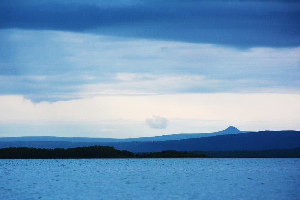
Mount Griggs is a remote, andesitic stratovolcano rising above the Valley of Ten Thousand Smokes. It’s the tallest cone in the local cluster and sits roughly north of Novarupta, making it a magnet for geology-minded hikers and mountaineers who don’t mind big effort for big solitude. There’s no trailhead, no signage, and no services—this is pure Katmai wilderness.
Geology & What Makes It Unique
Griggs has a truncated summit with three concentric craters, the outer one breached to the southwest. A collapse in the early Holocene produced a broad amphitheater and a debris avalanche on the west–southwest flank; later andesite flows partly refilled the summit depression. Construction of the cone spanned roughly 85,000–10,000 years through overlapping lava flows, and unlike some neighbors, Griggs is known for small-volume effusive activity rather than big ash-producing blasts.
What you’ll notice today is that the volcano is very much alive: hot, SO₂-rich fumaroles near the summit vent at near-boiling temperatures and can even be heard from the valley floor in calm conditions. Expect sulfur deposits and unstable, hot ground around vents.
1912 Context
Griggs didn’t erupt in 1912, but its slopes were smothered in the fallout from the Novarupta event that created the Valley of Ten Thousand Smokes and collapsed nearby Mount Katmai. It remains one of the fumarolically active cones in this exceptionally dense volcanic cluster along the Aleutian arc.
Getting There & How People Do It
Katmai is roadless beyond the Brooks Camp area. Most folks fly to Brooks Camp, ride the concessioner bus up the dirt road to the Valley of Ten Thousand Smokes overlook, and then continue on foot into the backcountry. Reaching the Griggs area is a serious, multi-day undertaking across ash plains and glaciated slopes with no marked trails. Plan to navigate independently, carry everything you need, and coordinate details and current conditions with park staff before committing.
Hazards & Who This Is For
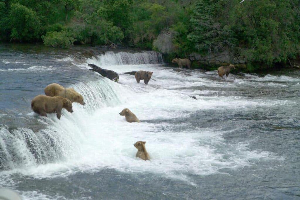
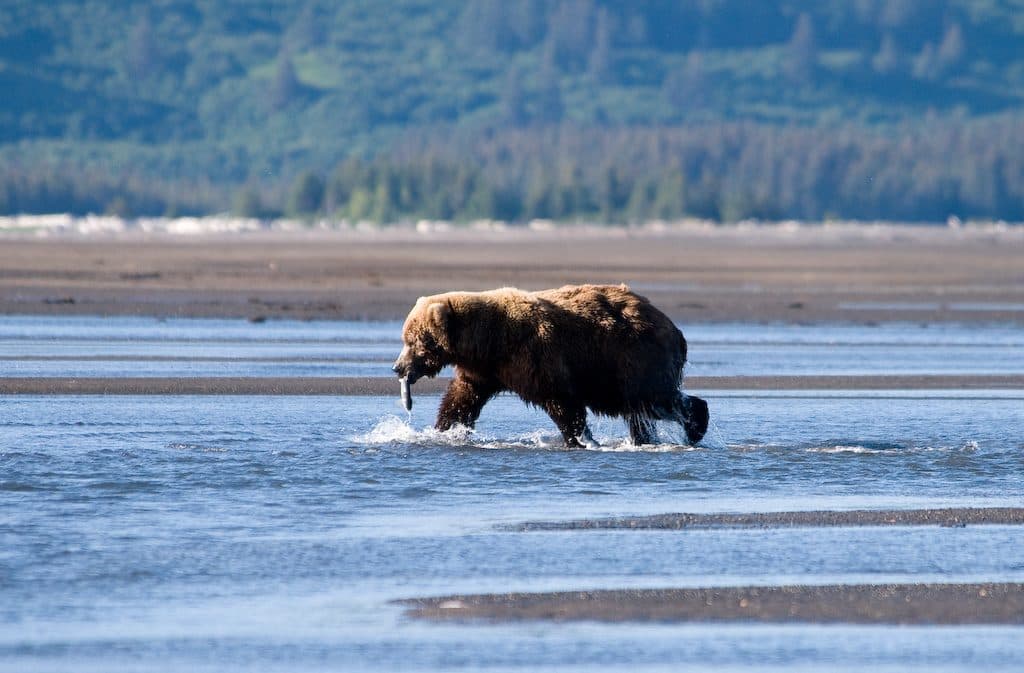
This objective is only for experienced, self-sufficient backcountry travelers with mountaineering and glacier travel skills. Hazards include crevasses, rock and ice fall, volatile weather, active fumaroles (toxic gases, unstable hot ground), river crossings, and very limited rescue options. Brown bears use the same corridors you will—expect encounters and follow best practices.
Best Time to Visit
Summer (roughly June to mid-September) aligns with Brooks Camp operations and the daily bus to the Valley overlook; that’s your practical window for staging a trip. Outside of that, you’ll be relying on charters and winter-capable expedition skills. Regardless of season, confirm bus operations, advisories, and any closures with the park before you go.

Where it is
58.3547, -155.0931Tips for Mount Griggs
- 01Stage from Brooks Camp and use the Valley of Ten Thousand Smokes bus before heading out on foot.
- 02Bring glacier gear and know how to assess crevasses, rockfall, and unstable fumarolic ground.
- 03Carry all water treatment, food, and navigation—there are no services beyond Brooks Camp.
- 04Coordinate your plan and current conditions with the park before committing to the route.
- 05Give bears plenty of space and be prepared to yield corridors they are using.
Near Mount Griggs
All places →All trails →
6.2 mi awayBaked MountainRemote volcanic ridge above the Valley of Ten Thousand Smokes
6.6 mi awayNovarupta1912 eruption vent capped by a rhyolite dome in ash desert
7.3 mi awayMount Katmai CalderaRemote, lake-filled volcano crater born from the 1912 Novarupta event
7.3 mi awayMount KatmaiCaldera-capped volcano born in the 1912 Novarupta eruption
28.5 mi awayBrooks River Elevated BoardwalkElevated stroll to world-class bear viewing on the Brooks RiverEasy · 2.2 mi · 1 hr
Brooks Falls TrailShort, flat walk to world-class brown bear viewing platformsEasy · 1.2 mi · 30 min
Dumpling Mountain TrailBig Brooks Camp views, real tundra, and real bear countryChallenging · 8 mi · 5.3 hr
Cultural Site TrailA flat, 0.5-mile walk to a reconstructed Alutiiq home by Brooks River.Easy · 0.5 mi · 15 min