Overview
About Moll’s Gap
Why stop
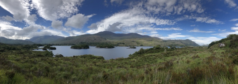
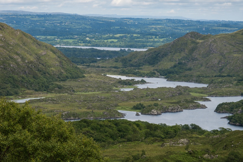
- Big mountain views without committing to a hike.
Heads up
- The drive is more rewarding than a long stay at the pass.
The bedrock is Old Red Sandstone: rounded quartz grains laid down by ancient rivers more than 350 million years ago. Chlorite gives some of it a green cast, unusual beside the more familiar red sandstone around Killarney. Weathered roadside stone can look muted; a small quarry about 200 m along the Sneem road shows a fresher color.
 Parkwolf’s verdictWhy this stone is green
Map
Where it is

The highest, rockiest slopes around here are a summer buffet for grizzly bears.
Killarney Tour Guide
Your drive to Moll’s Gap, narrated.
Parkwolf is a GPS audio tour guide for Killarney National Park. As you drive, it chimes in with what’s ahead: hidden gems, upcoming stops, history, geology, and wildlife, right through your car’s speakers.
Recorded for this area
Looscaunagh Lough Viewpoint“You're coming up on Looscaunagh Lough Viewpoint. The lake sits behind a curving ridge of sand, gravel and stones pushed aside by a glacier. Include that ridge with the water in a photo to show the lake's glacial setting.”
Plays on the road 3.2 km from Moll’s Gap in the Parkwolf Killarney Tour Guide.
More stories near here in the app
- Ladies View
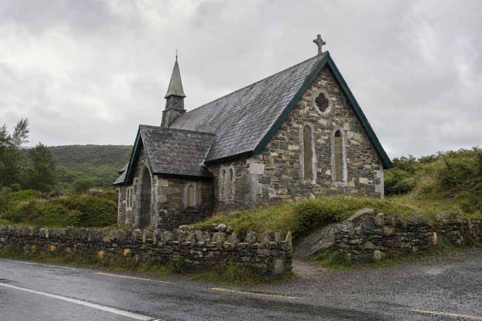
- Derrycunnihy Church and the Mass Path
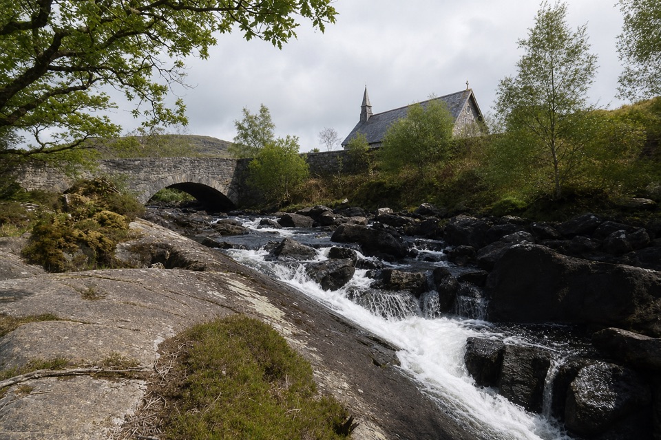
- Derrycunnihy Falls and Cascade
- Upper Lake Viewpoint: Rock Shaped by Ice
- 18 audio storiesacross Killarney’s roads, triggered by GPS as you drive
- Wildlife heatmapsfor Red Deer, Sika Deer, Feral Goat, and 10 more
- Works offlinemaps, 29 trails, 32 places, and audio download before you lose signal
- CarPlay readysimple controls built for the drive
“Fantastic app with many points of information… It’s great to just turn on while you’re driving and it gives you an audio tour of the national Park. We love it!!!!”


Guide
More about Moll’s Gap
Make it a short stopMoll’s Gap is a mountain pass on the N71 between Killarney and Kenmare, at the watershed of the…
Moll’s Gap is a mountain pass on the N71 between Killarney and Kenmare, at the watershed of the Iveragh Peninsula. It sits just outside Killarney National Park’s mapped boundary, but the park’s roadside geology drive starts here. Make it a brief stop on that scenic drive; the pass itself is a viewpoint, not a walk that needs its own half-day.
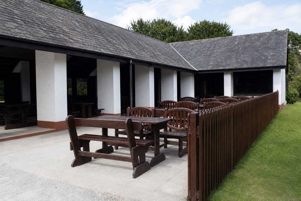
There’s a nearby car park, but its public access terms aren’t clear. Follow the posted signs, and take care pulling in and back out: the road is narrow and carries heavy traffic. An Avoca café and gift shop sit beside the pass; they’re independent businesses rather than park facilities.
Look northThe view faces north toward the jagged MacGillycuddy’s Reeks; the Gap of Dunloe is visible from…
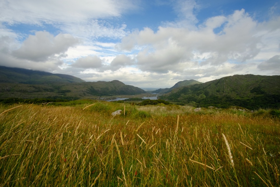
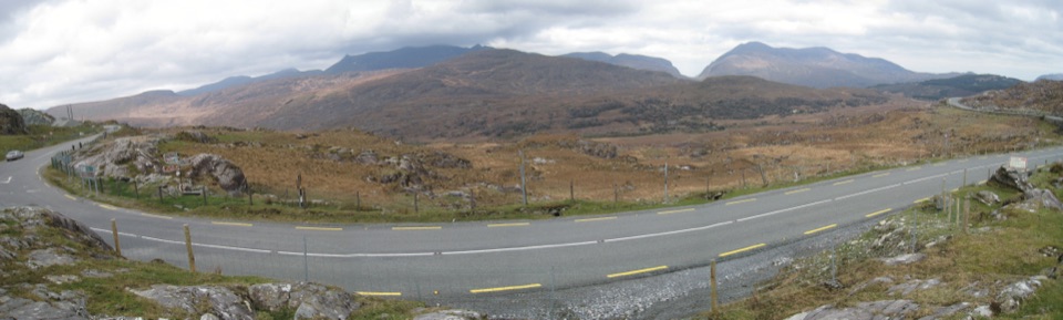
The view faces north toward the jagged MacGillycuddy’s Reeks; the Gap of Dunloe is visible from here too. For a photo that shows the pass and its scale, include the sweep of road and rocky foreground below the ridge rather than aiming only at the skyline. Low cloud can hide the peaks, so this stop depends on visibility.
Moll Kissane and the roadThe English name comes from Moll Kissane, who ran a small pub during construction of the…
The English name comes from Moll Kissane, who ran a small pub during construction of the Killarney–Kenmare road in the 1820s.
The ice crossingAbout 25,000 years ago, ice from the Templenoe Icecap crossed the Iveragh watershed here.
About 25,000 years ago, ice from the Templenoe Icecap crossed the Iveragh watershed here. It abraded and smoothed the rock around the pass. The MacGillycuddy’s Reeks stood above the ice, so their sharper peaks survived while freeze-thaw fractured their exposed rock.
Wildlife
Wildlife in Killarney
 104 sightingsRed DeerMost seen around 7 AMSighting map
 207 sightingsSika DeerMost seen around 7 AMSighting map
 12 sightingsFeral GoatMost seen around 6 PMSighting map
 49 sightingsSwanMost seen around 7 AMSighting map
 48 sightingsHeronMost seen around 5 PMSighting map
 15 sightingsCormorantMost seen around 8 AMSighting map
Sighting maps show where each species has been reported across Killarney. Wildlife moves, so no sighting is guaranteed.