Overview
About Derrycunnihy Falls and Cascade
Why stop
- Two distinct waterfalls reward one riverside outing.
Heads up
- The upstream Cascade takes a rough, slippery detour to reach.
Map
Where it is

The highest, rockiest slopes around here are a summer buffet for grizzly bears.
Killarney Tour Guide
Your drive to Derrycunnihy Falls and Cascade, narrated.
Parkwolf is a GPS audio tour guide for Killarney National Park. As you drive, it chimes in with what’s ahead: hidden gems, upcoming stops, history, geology, and wildlife, right through your car’s speakers.
Recorded for this place
Derrycunnihy Falls and Cascade“The lay-by for Derrycunnihy Falls is coming up. From here, a mostly level gravel track takes about twenty minutes out and back to the lower falls.”
Plays as you drive up to Derrycunnihy Falls and Cascade in the Parkwolf Killarney Tour Guide.
More stories near here in the app
- Ladies View
- Derrycunnihy Church and the Mass Path
- Upper Lake Viewpoint: Rock Shaped by Ice
- Looscaunagh Lough Viewpoint
- 18 audio storiesacross Killarney’s roads, triggered by GPS as you drive
- Wildlife heatmapsfor Red Deer, Sika Deer, Feral Goat, and 10 more
- Works offlinemaps, 29 trails, 32 places, and audio download before you lose signal
- CarPlay readysimple controls built for the drive
“Fantastic app with many points of information… It’s great to just turn on while you’re driving and it gives you an audio tour of the national Park. We love it!!!!”


Guide
More about Derrycunnihy Falls and Cascade
Two waterfalls on one riverside walkDerrycunnihy Falls and Cascade are two separate drops along the Mass Path in Killarney National…
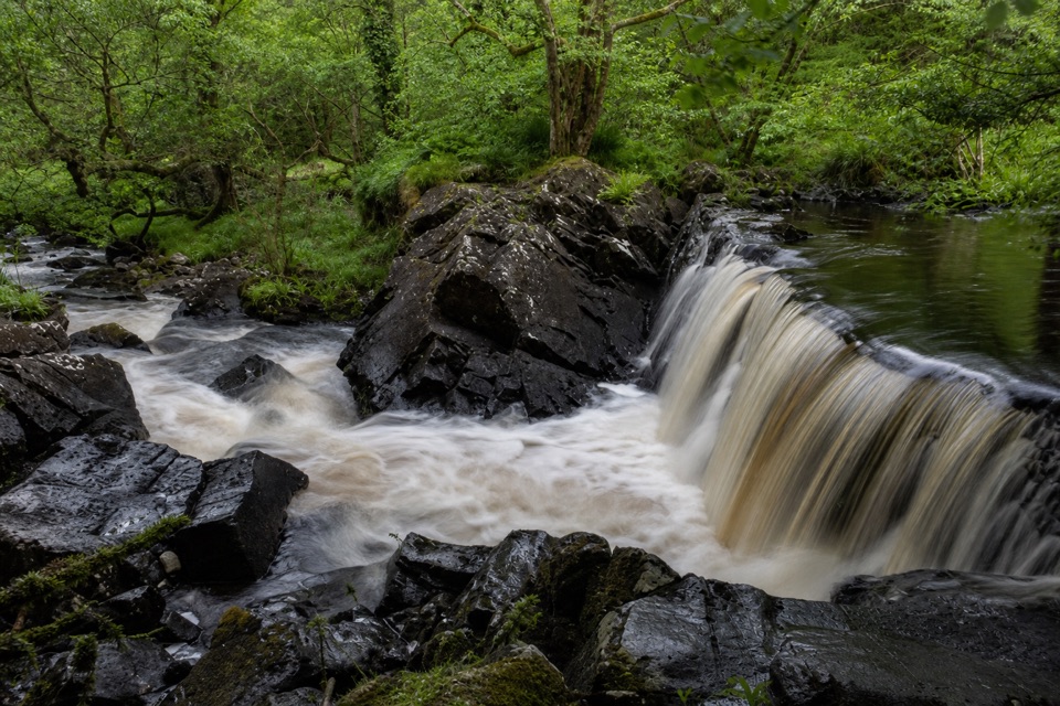
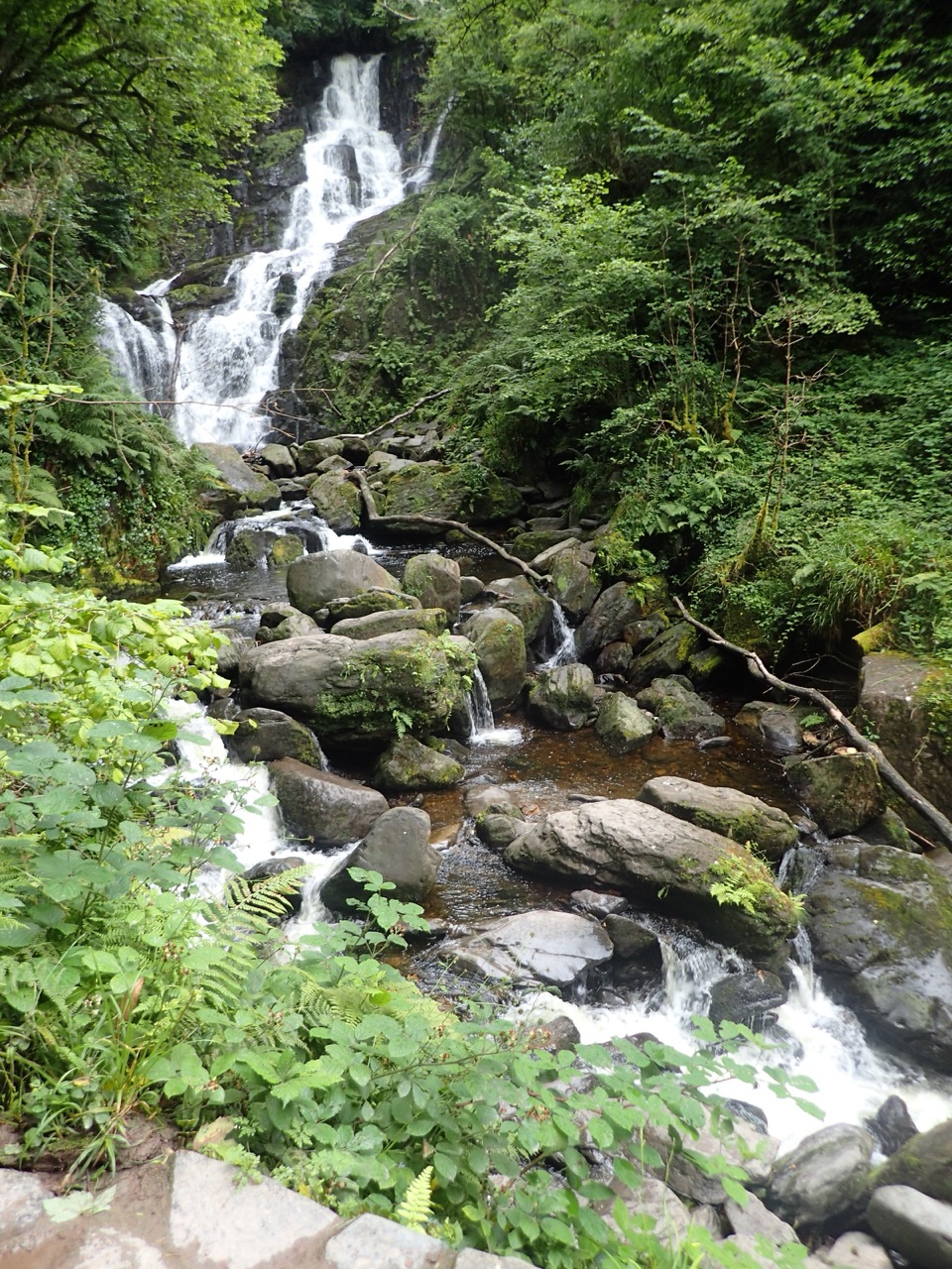
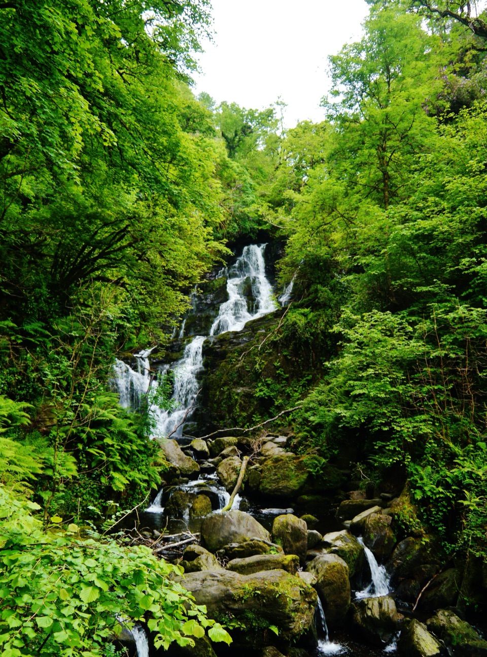
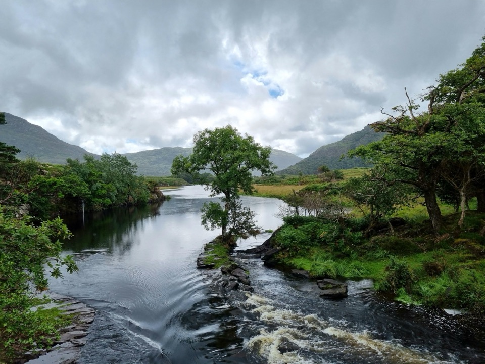
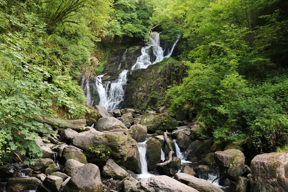
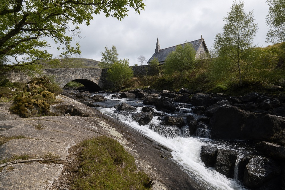
Derrycunnihy Falls and Cascade are two separate drops along the Mass Path in Killarney National Park. The lower Falls is near where Queen’s Cottage once stood; the larger Cascade lies about 500 metres upstream. It’s a worthwhile waterfall stop if you’re happy to leave the road for a rough riverside walk.
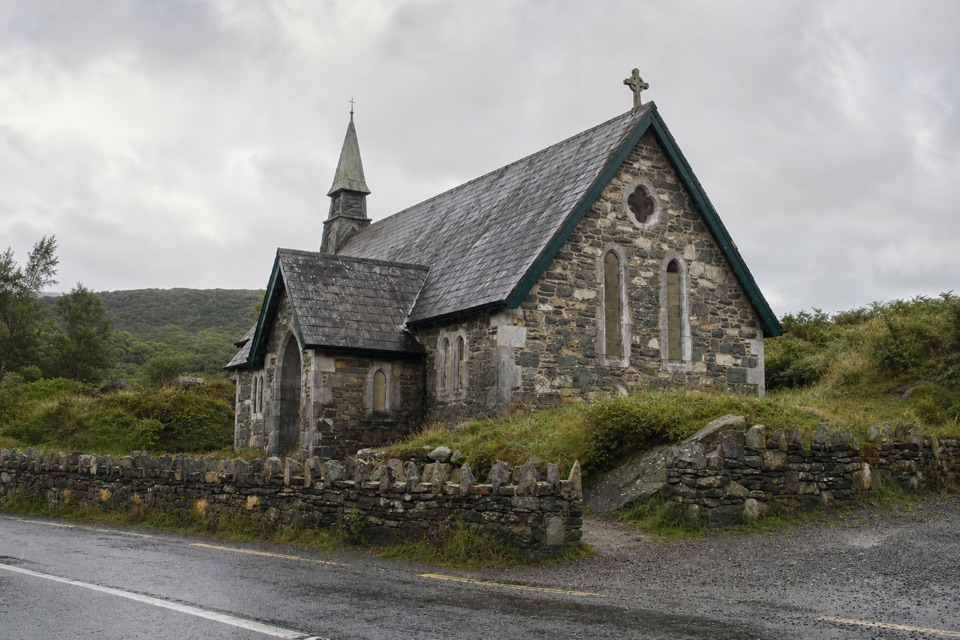
Follow the river to the CascadeStart at the small car park by Derrycunnihy Church on the N71, cross the road and follow the…
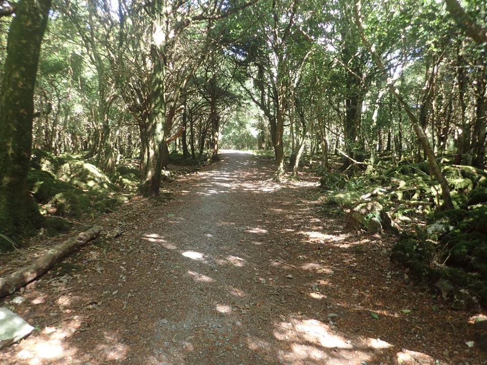
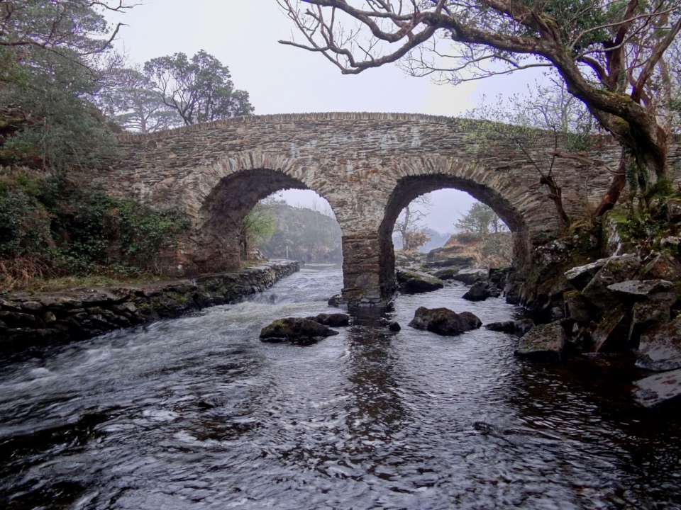
Start at the small car park by Derrycunnihy Church on the N71, cross the road and follow the Mass Path downhill through oak woods, over steps and boardwalk. The lower Falls is about 1 km from the church, just before a wooden bridge. Cross it and follow the rough riverbank upstream about another 500 metres to the Cascade, around 3 km out and back to visit both. The turn can be easy to miss, so watch for the signed route toward the N71. The full Mass Path continues 4 km one way to Lord Brandon’s Cottage; that longer walk is strenuous, rough underfoot and prone to winter flooding.
Rain brings the water upThe falls are livelier after rain, but the rocks and grassy riverbank get slippery.
The falls are livelier after rain, but the rocks and grassy riverbank get slippery. At the bridge, look downstream over the lower Falls, then continue to the Cascade for a separate view framed by boulders. The closest views involve uneven ground rather than a maintained viewing platform, so take care near the water.
Queen’s Cottage by the FallsAn ornamental hunting lodge called Queen’s Cottage once stood beside the lower Falls.
An ornamental hunting lodge called Queen’s Cottage once stood beside the lower Falls. The Earls of Kenmare built it for Queen Victoria’s 1861 visit to Killarney; it has since been demolished, and no remains are reported at the site.
Wildlife
Wildlife in Killarney
 104 sightingsRed DeerMost seen around 7 AMSighting map
 207 sightingsSika DeerMost seen around 7 AMSighting map
 12 sightingsFeral GoatMost seen around 6 PMSighting map
 49 sightingsSwanMost seen around 7 AMSighting map
 48 sightingsHeronMost seen around 5 PMSighting map
 15 sightingsCormorantMost seen around 8 AMSighting map
Sighting maps show where each species has been reported across Killarney. Wildlife moves, so no sighting is guaranteed.