Overview
About Looscaunagh Lough Viewpoint
Why stop
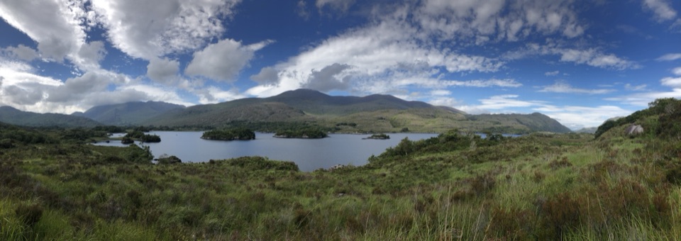
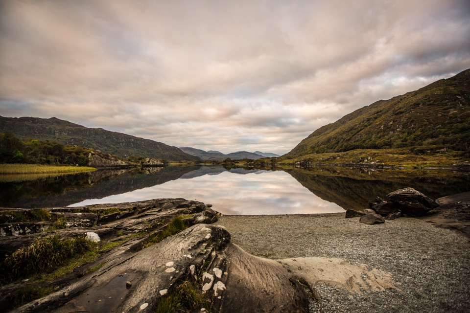
- A broad lough view with the curving glacial moraine still legible.
Heads up
- The narrow, busy N71 makes stopping and rejoining traffic less relaxed.
Map
Where it is

The highest, rockiest slopes around here are a summer buffet for grizzly bears.
Killarney Tour Guide
Your drive to Looscaunagh Lough Viewpoint, narrated.
Parkwolf is a GPS audio tour guide for Killarney National Park. As you drive, it chimes in with what’s ahead: hidden gems, upcoming stops, history, geology, and wildlife, right through your car’s speakers.
Recorded for this place
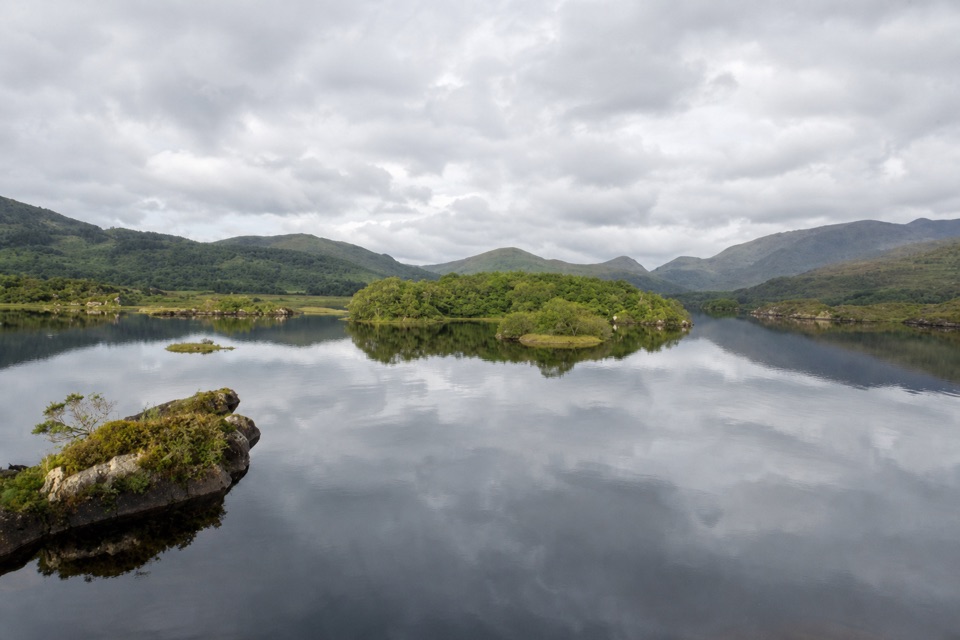
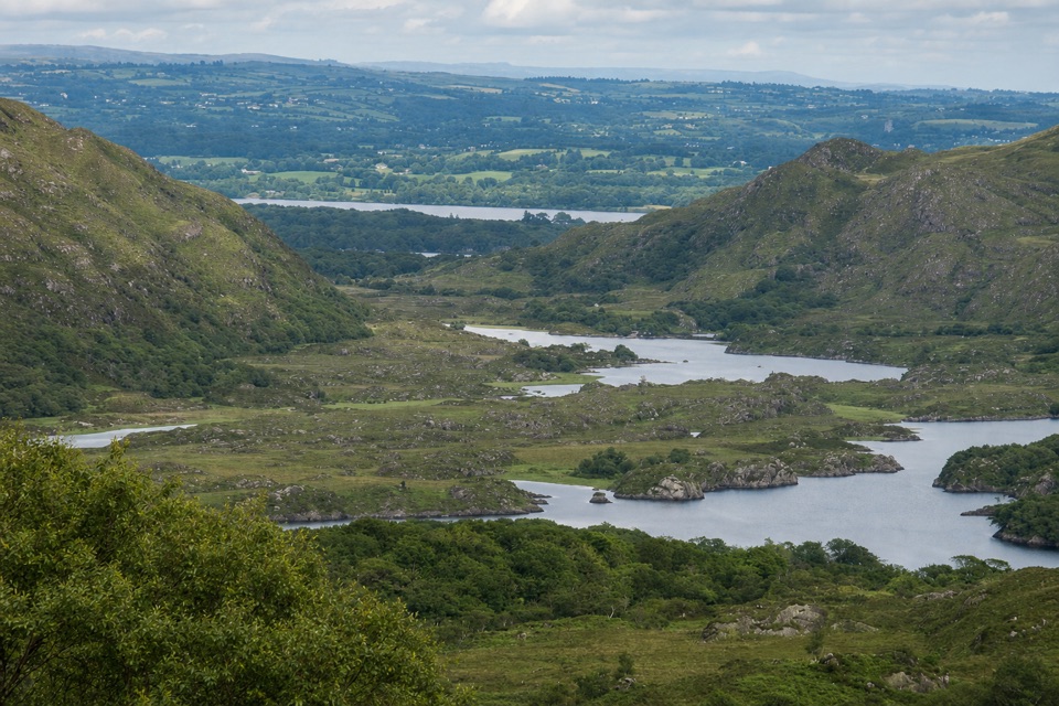
Looscaunagh Lough Viewpoint“You're coming up on Looscaunagh Lough Viewpoint. The lake sits behind a curving ridge of sand, gravel and stones pushed aside by a glacier. Include that ridge with the water in a photo to show the lake's glacial setting.”
Plays as you drive up to Looscaunagh Lough Viewpoint in the Parkwolf Killarney Tour Guide.
More stories near here in the app
- Ladies View
- Derrycunnihy Church and the Mass Path
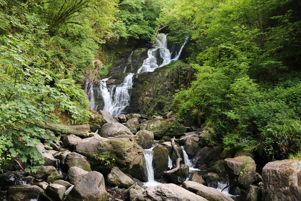
- Derrycunnihy Falls and Cascade
- Upper Lake Viewpoint: Rock Shaped by Ice
- 18 audio storiesacross Killarney’s roads, triggered by GPS as you drive
- Wildlife heatmapsfor Red Deer, Sika Deer, Feral Goat, and 10 more
- Works offlinemaps, 29 trails, 32 places, and audio download before you lose signal
- CarPlay readysimple controls built for the drive
“Fantastic app with many points of information… It’s great to just turn on while you’re driving and it gives you an audio tour of the national Park. We love it!!!!”


Guide
More about Looscaunagh Lough Viewpoint
A quick roadside lookLooscaunagh Lough Viewpoint is a brief stop above the lake on the N71, between Moll’s Gap and…
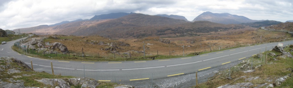
Looscaunagh Lough Viewpoint is a brief stop above the lake on the N71, between Moll’s Gap and Ladies’ View. The Killarney Valley Geology Drive includes it as Site 2, so it’s a good pause if you’re driving that route. This is a view stop, not a marked walk. The road is narrow and busy; only pull in where it’s safe, and give yourself time to rejoin traffic.
A lake shaped by iceThe lough sits in a hollow behind a long lateral moraine: sand, gravel and stones pushed aside…
The lough sits in a hollow behind a long lateral moraine: sand, gravel and stones pushed aside by a glacier moving from Moll’s Gap toward Killarney. Follow the ridge’s curve around the water. A cutting beside the road exposes glacial till, including sandstone-derived sand, gravel and stones compacted over roughly the last 10,000 to 20,000 years.
Old field linesSome better-drained patches of the moraine hold traces of old potato ridges, known as lazy beds.
Some better-drained patches of the moraine hold traces of old potato ridges, known as lazy beds. They were likely abandoned around the Famine, when blight destroyed the crop. These low lines are easy to miss, but they connect the green slopes to the people who farmed them.
Take in the whole curveThe roadside view can take in much of the lough.
The roadside view can take in much of the lough. For a photo, keep the curved shoreline and moraine ridge in the frame with the water; that outline makes the lake’s glacial basin easier to read than a tight crop of the water alone.
Wildlife
Wildlife in Killarney
 104 sightingsRed DeerMost seen around 7 AMSighting map
 207 sightingsSika DeerMost seen around 7 AMSighting map
 12 sightingsFeral GoatMost seen around 6 PMSighting map
 49 sightingsSwanMost seen around 7 AMSighting map
 48 sightingsHeronMost seen around 5 PMSighting map
 15 sightingsCormorantMost seen around 8 AMSighting map
Sighting maps show where each species has been reported across Killarney. Wildlife moves, so no sighting is guaranteed.