Parking
Use the car park by Derrycunnihy Church on the N71. The Mass Path entrance is across the road, where wooden steps and a boardwalk descend into the woodland.

#8 of 29 trails in Killarney
Killarney National Park, KY
Oak woods and stream crossings end at a cottage by Upper Lake.
Overview
Map & elevation
Plan your hike

The highest, rockiest slopes around here are a summer buffet for grizzly bears.
Killarney Tour Guide
Parkwolf is a GPS audio tour guide for Killarney National Park. As you drive, it chimes in with what’s ahead: hidden gems, upcoming stops, history, geology, and wildlife, right through your car’s speakers.
Recorded for this trailhead
Derrycunnihy Church and the Mass Path“You're approaching Derrycunnihy Church and the start of the Mass Path. The small stone church dates from around eighteen ninety and makes a brief exterior stop.”
Plays as you drive up to this trailhead in the Parkwolf Killarney Tour Guide.
More stories near here in the app
“Fantastic app with many points of information… It’s great to just turn on while you’re driving and it gives you an audio tour of the national Park. We love it!!!!”


Trail guide
The Mass Path is a 2.7-mile (4.3 km) point-to-point walk from Derrycunnihy Church to Lord Brandon’s Cottage on Upper Lake, and a section of the Kerry Way. It drops from the church-side access into oak woodland, crosses streams, passes old ruins and finishes along the lake shore. Allow about 1½ to 2 hours one way. Choose this when you want a woodland-to-lakeshore walk, but plan the return before setting out: the mapped route does not loop back to the car park.
The Mass Path entrance is across the road from the car park by Derrycunnihy Church. Wooden steps and a boardwalk descend into the woodland below. This is a real downhill start, not a level stroll, so take care on the steps before settling into the rougher path. Streams cross the route in the woods. The surface changes underfoot, and parts of the walk can flood in winter.
The woodland path passes abandoned ruins, but no reliable account of their date or former use turned up, so there is no story to fill in around them. The route also has views of Derrycunnihy Cascade. A separate spur leads closer to the falls; it is steep and rocky and can be slippery when wet. That detour is optional and is not included in the mapped distance. If conditions are wet, stay on the main path unless you are comfortable with the rough descent.
Farther along, the enclosed woodland opens onto a broader path beside Upper Lake. The walk’s character changes here: the water and small islands spread out below the hills, with the McGillycuddy Reeks beyond. This is the route’s best wide view. From the shoreline, include a little of the near bank in a photo so the islands and mountain backdrop keep their sense of scale.
The park notes that white-tailed sea eagles may be seen from the route. Treat that as a possibility rather than a promise; the lake and open slopes give you places to scan while you walk.
Use the car park by Derrycunnihy Church; the trail starts across the road. The other end is Lord Brandon’s Cottage, so arrange a pickup or onward connection before you leave the church. Walking back means retracing the route for another leg. Confirm any onward service directly; the cottage sits at the far end of a one-way walk.
Wildlife
 106 sightingsRed DeerMost seen around 7 AMSighting map
 209 sightingsSika DeerMost seen around 7 AMSighting map
 12 sightingsFeral GoatMost seen around 6 PMSighting map
 49 sightingsSwanMost seen around 7 AMSighting map
 48 sightingsHeronMost seen around 5 PMSighting map
 16 sightingsCormorantMost seen around 8 AMSighting map
Sighting maps show where each species has been reported across Killarney. Wildlife moves, so no sighting is guaranteed.
Keep exploring
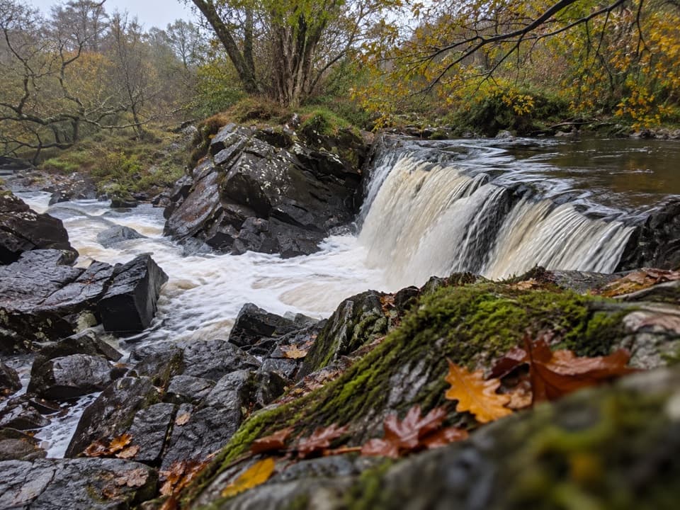 EasyDerrycunnihy Falls Walk0.8 km · 20 min · 0.9 km awayA quick woodland track to Killarney’s lower falls.
 ChallengingCardiac Hill Loop4.5 km · 1.8 hr · 5.7 km awayAbout 1,250 steep steps buy you a big lake view.
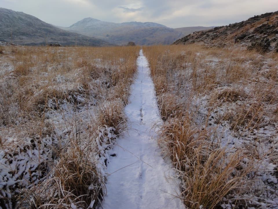 ChallengingOld Kenmare Road Walk8 km · 2.5 hr · 6.6 km awayA riverside old road opens into bog boardwalk and quiet uplands.
 ModerateTorc Waterfall Yellow Trail2.9 km · 1.3 hr · 6.6 km awayA short waterfall circuit with real climbing through Killarney woods.
 EasyDundag to Torc Path3.2 km · 1.3 hr · 7.5 km awayLake views and deer on an easy walk to Torc Waterfall.
 ModerateMuckross Lake Loop10 km · 4 hr · 8 km awayA lake loop through yew woods to a historic cottage.
 ModerateArthur Young’s Walk5.6 km · 2.3 hr · 8 km awayA mostly flat woodland walk between two lakes and rare yews.
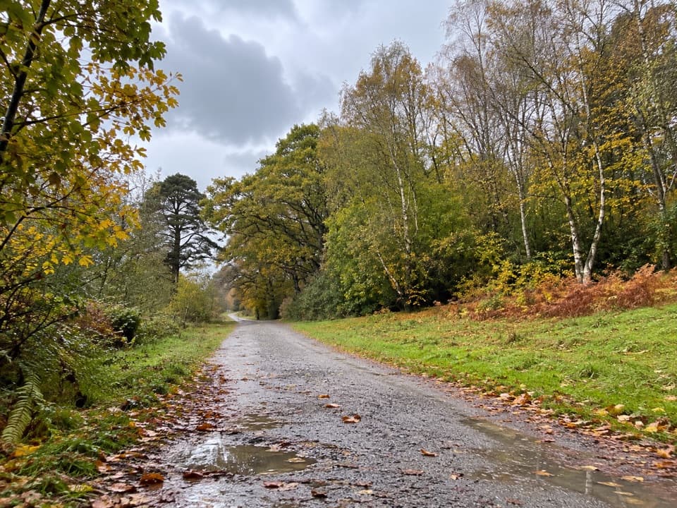 ModerateMossy Woods Walk2 km · 45 min · 8 km awayA short woodland path to views across Muckross Lake.
 Sight · At the trailheadDerrycunnihy ChurchStop for the stone church; the old Mass Path starts here.
 Sight · 0.8 km awayDerrycunnihy Falls and CascadeA bigger cascade rewards the rough walk beyond the lower falls.
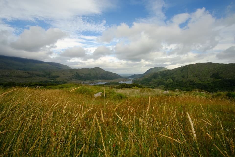 Sight · 0.9 km awayLadies ViewA short roadside pause opens onto the Upper Lake and Black Valley.
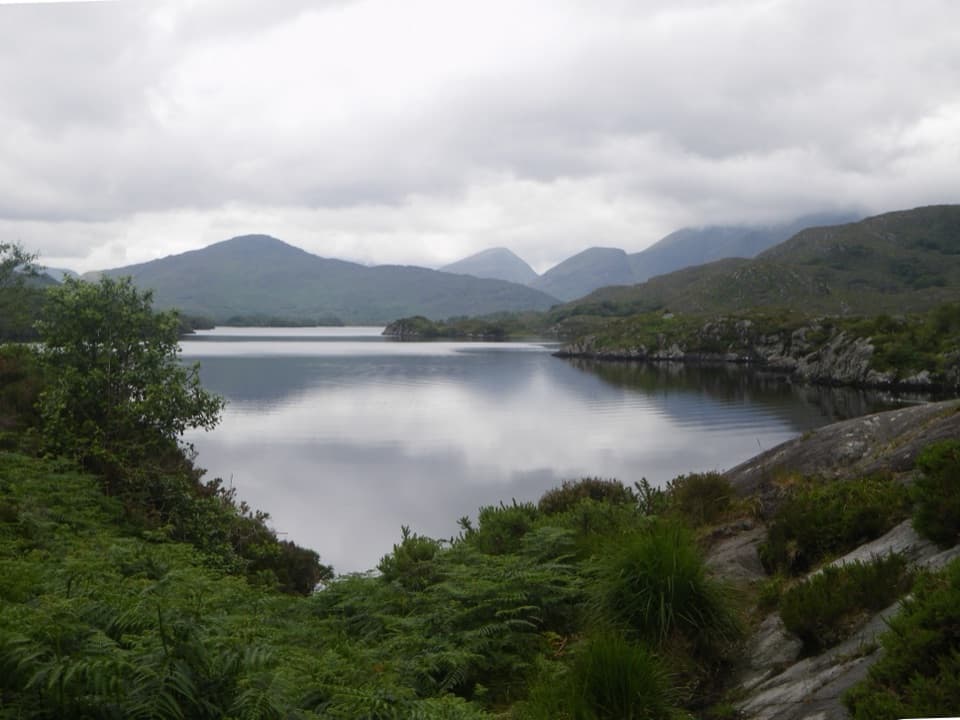 Sight · 2.6 km awayUpper Lake ViewpointA glacier-shaped rock with a view across Upper Lake.
 Sight · 2.9 km awayLooscaunagh Lough ViewpointA quick N71 stop for a lough shaped by Ice Age glaciers.
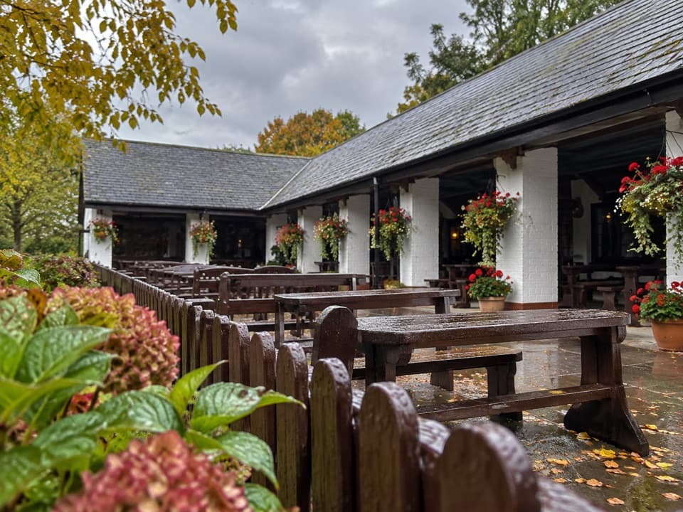 Food · 3.3 km awayLord Brandon’s CottageAn open-air tea stop at the end of the Gap of Dunloe.
 Sight · 4.2 km awayFive Mile BridgeA short shore walk brings glacial rock and Eagles’ Nest into view.
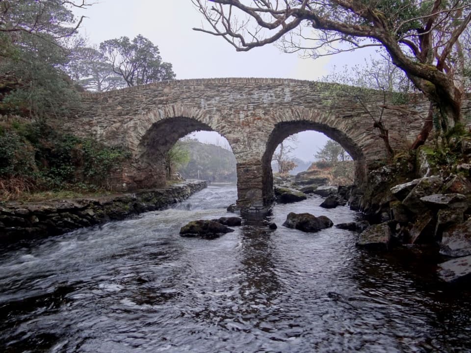 Sight · 5.3 km awayOld Weir BridgeTwo old stone arches over a lively channel.
Parkwolf’s Killarney ranking

The audio tour guide for the drive, plus offline maps, trails, and wildlife heatmaps for when the signal drops.


