Parking
Use the small lay-by on the N71 about 1 km on the Killarney side of Derrycunnihy Church. Keep the access clear. The route starts where the gravel track meets the road; the church car park is a separate, longer Kerry Way approach.
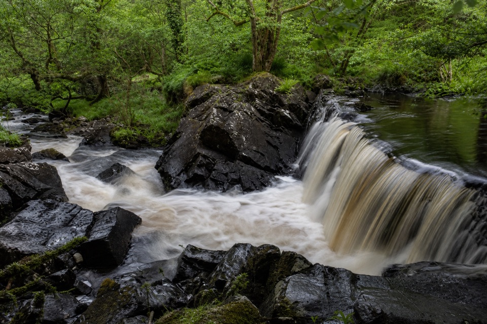
Killarney National Park, KY
A quick woodland track to Killarney’s lower falls.
Overview
Map & elevation
Plan your hike

The highest, rockiest slopes around here are a summer buffet for grizzly bears.
Killarney Tour Guide
Parkwolf is a GPS audio tour guide for Killarney National Park. As you drive, it chimes in with what’s ahead: hidden gems, upcoming stops, history, geology, and wildlife, right through your car’s speakers.
Recorded for this trailhead
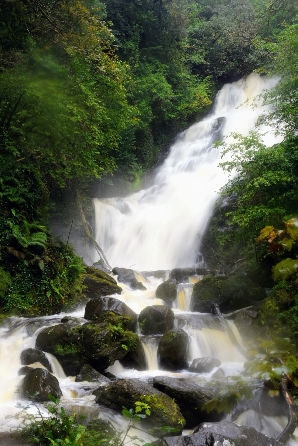
Derrycunnihy Falls and Cascade“The lay-by for Derrycunnihy Falls is coming up. From here, a mostly level gravel track takes about twenty minutes out and back to the lower falls.”
Plays as you drive up to this trailhead in the Parkwolf Killarney Tour Guide.
More stories near here in the app
“Fantastic app with many points of information… It’s great to just turn on while you’re driving and it gives you an audio tour of the national Park. We love it!!!!”


Trail guide
Derrycunnihy Falls Walk is a 0.5-mile out-and-back from the small N71 lay-by to the lower Falls. The gravel track runs about a quarter mile each way and is mostly level; allow around 20 minutes with a short stop. It’s an easy break on the Ring of Kerry. Use the lay-by start for this mapped distance—the church car park follows a longer Kerry Way approach.
The track reaches a wooden footbridge beside the lower Falls, close to where Queen’s Cottage once stood. The cottage was one of the hunting lodges built for Queen Victoria’s 1861 visit to Killarney; no ruins remain. From the bridge, frame the dark rock ledge and pools below. The water is more dramatic after heavy rain, when the rocks beside it are also slicker. Dogs are welcome in the park but must stay on a lead.
The larger Derrycunnihy Cascade is upstream and separate from the lower Falls. Local route descriptions reach it by leaving the main track for a rough riverbank spur, about 500 m beyond the Falls. That spur isn’t included in this mapped walk, and the rocks can be slippery when wet; stick to the gravel track if the bank or route is unclear.
Wildlife
 104 sightingsRed DeerMost seen around 7 AMSighting map
 207 sightingsSika DeerMost seen around 7 AMSighting map
 12 sightingsFeral GoatMost seen around 6 PMSighting map
 49 sightingsSwanMost seen around 7 AMSighting map
 48 sightingsHeronMost seen around 5 PMSighting map
 15 sightingsCormorantMost seen around 8 AMSighting map
Sighting maps show where each species has been reported across Killarney. Wildlife moves, so no sighting is guaranteed.
Keep exploring
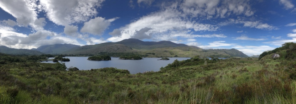 ModerateThe Mass Path: Derrycunnihy Church to Lord Brandon’s Cottage4.3 km · 1.8 hr · 0.9 km awayOak woods and stream crossings end at a cottage by Upper Lake.
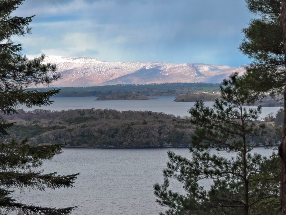 ChallengingCardiac Hill Loop4.5 km · 1.8 hr · 5.1 km awayAbout 1,250 steep steps buy you a big lake view.
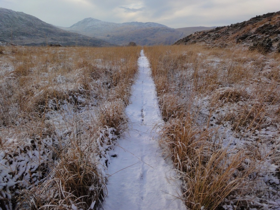 ChallengingOld Kenmare Road Walk8 km · 2.5 hr · 6.2 km awayA riverside old road opens into bog boardwalk and quiet uplands.
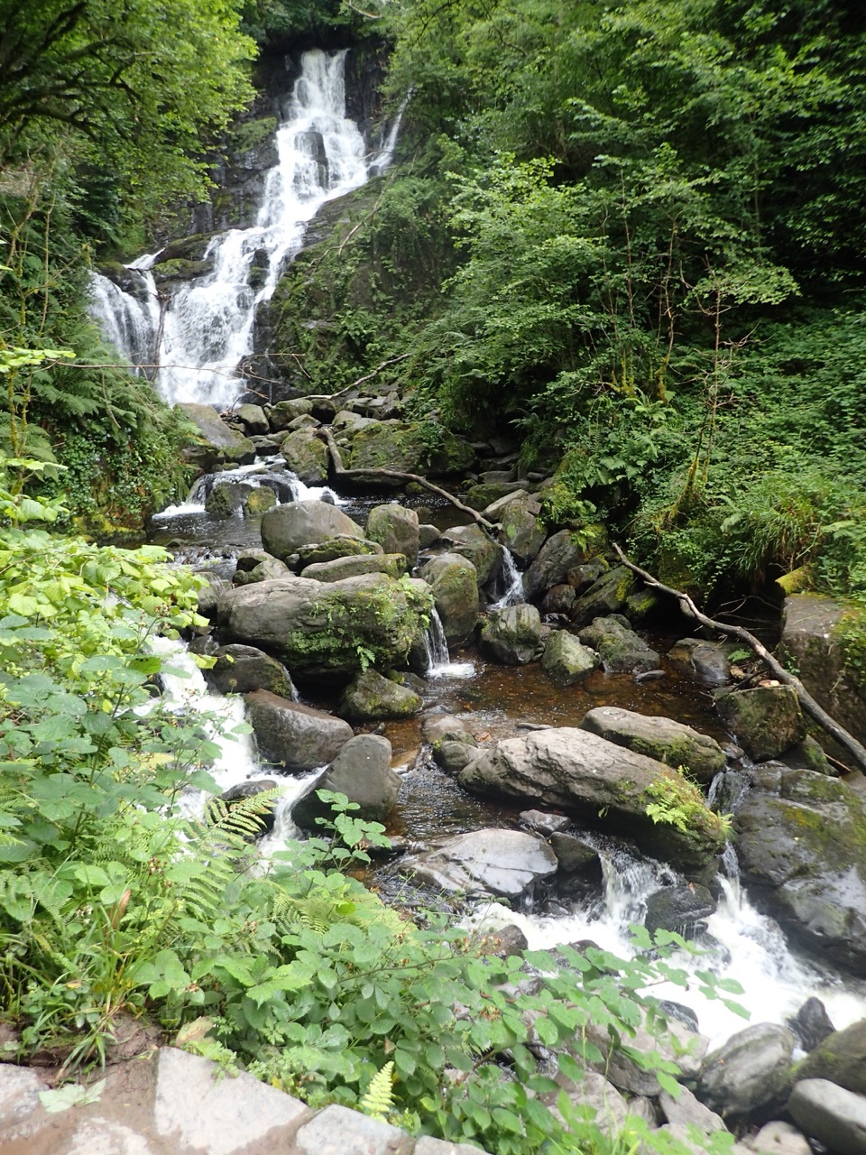 ModerateTorc Waterfall Yellow Trail2.9 km · 1.3 hr · 6.2 km awayA short waterfall circuit with real climbing through Killarney woods.
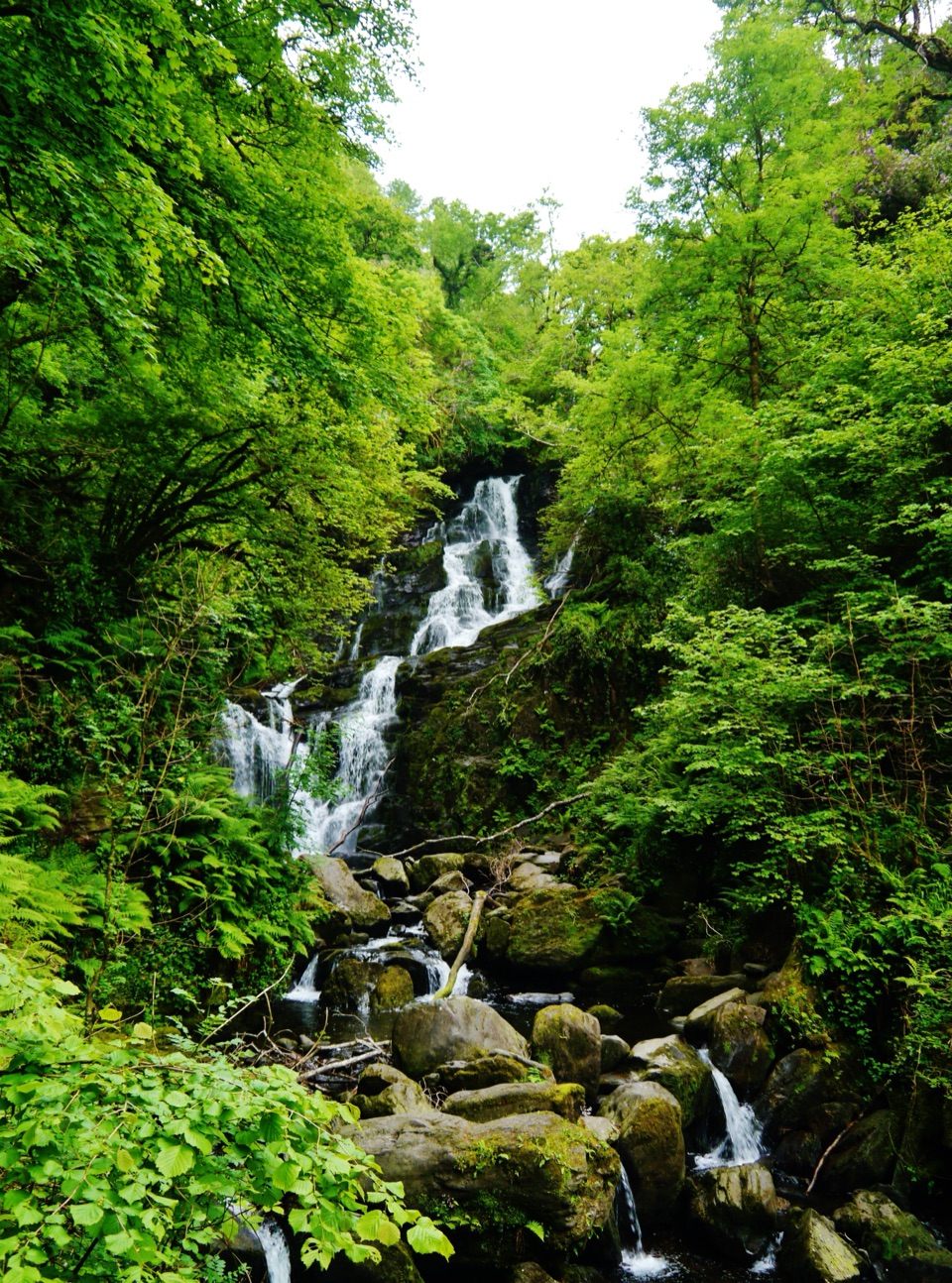 EasyDundag to Torc Path3.2 km · 1.3 hr · 6.9 km awayLake views and deer on an easy walk to Torc Waterfall.
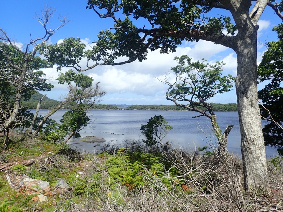 ModerateMuckross Lake Loop10 km · 4 hr · 7.4 km awayA lake loop through yew woods to a historic cottage.
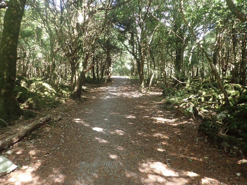 ModerateArthur Young’s Walk5.6 km · 2.3 hr · 7.4 km awayA mostly flat woodland walk between two lakes and rare yews.
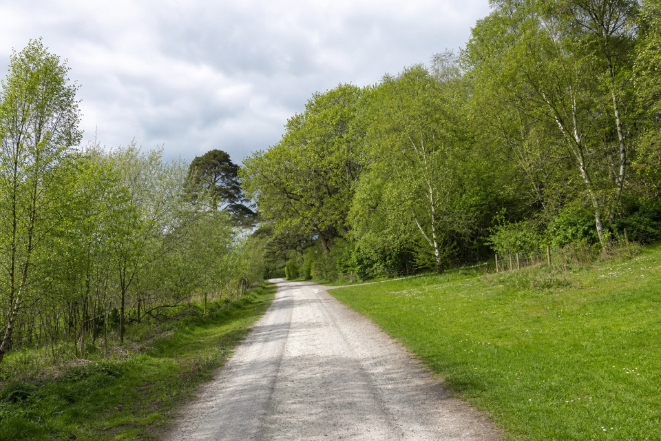 ModerateMossy Woods Walk2 km · 45 min · 7.4 km awayA short woodland path to views across Muckross Lake.
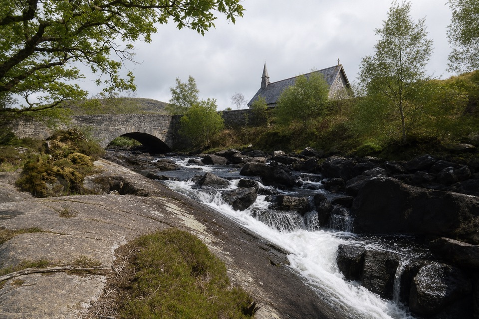 Sight · 0.3 km awayDerrycunnihy Falls and CascadeA bigger cascade rewards the rough walk beyond the lower falls.
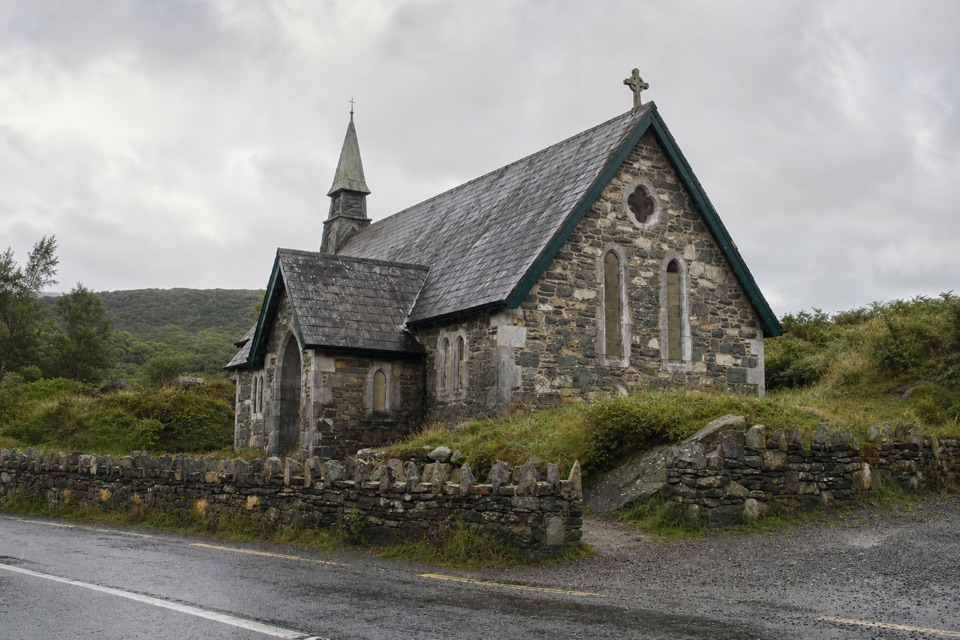 Sight · 0.9 km awayDerrycunnihy ChurchStop for the stone church; the old Mass Path starts here.
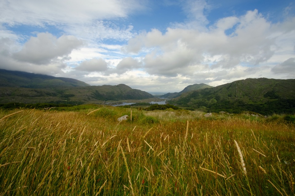 Sight · 0.9 km awayLadies ViewA short roadside pause opens onto the Upper Lake and Black Valley.
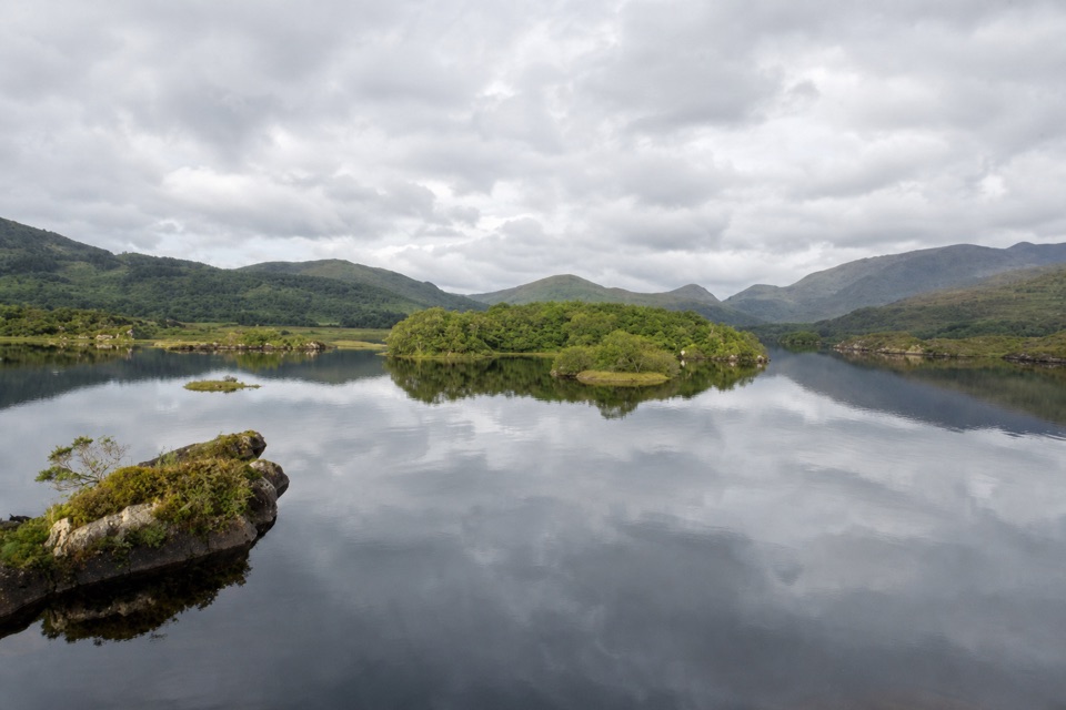 Sight · 1.9 km awayUpper Lake ViewpointA glacier-shaped rock with a view across Upper Lake.
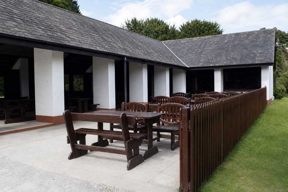 Food · 2.9 km awayLord Brandon’s CottageAn open-air tea stop at the end of the Gap of Dunloe.
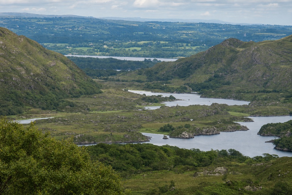 Sight · 3.3 km awayLooscaunagh Lough ViewpointA quick N71 stop for a lough shaped by Ice Age glaciers.
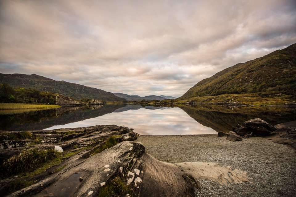 Sight · 3.5 km awayFive Mile BridgeA short shore walk brings glacial rock and Eagles’ Nest into view.
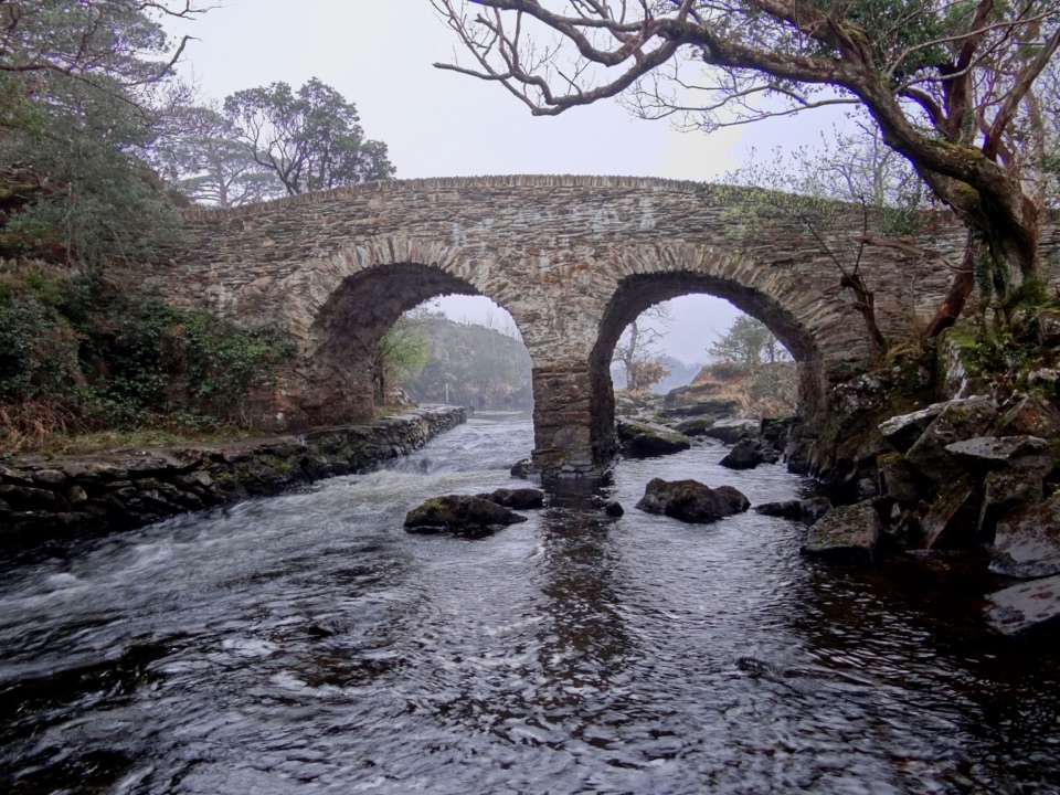 Sight · 4.5 km awayOld Weir BridgeTwo old stone arches over a lively channel.
Parkwolf’s Killarney ranking

The audio tour guide for the drive, plus offline maps, trails, and wildlife heatmaps for when the signal drops.