
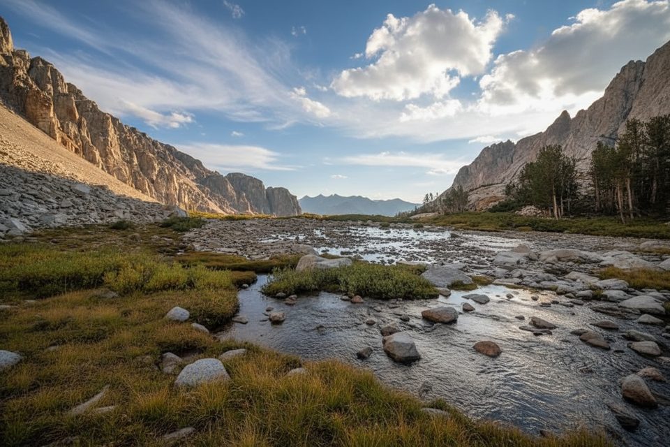
Place · 2 mi away
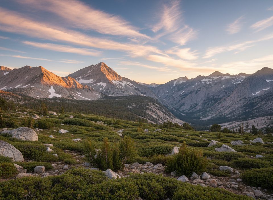
Arrow Peak (12,959 ft) stands like a granite spear above the South Fork of the Kings River, famous for mirror‑calm reflections from Bench Lake and for sweeping summit panoramas to the Palisades, Split Mountain, Taboose Pass, and Mount Pinchot. Its solitary position makes the payoff big—but getting there is no casual stroll.
From the top you’ll scan north to Cartridge Pass and Lake Basin toward the Palisades; northeast to Mt. Ruskin and Split Mountain; east to Bench Lake, Taboose Pass, and Mount Pinchot; and southeast toward Mount Clarence King and the Rae Lakes summits. The north face and Arrow Ridge form the impressive Muro Blanco above the South Fork.
Prime season is roughly June–September. Expect talus, scree, and granite slabs; ridge routes include short exposed sections on generally decent rock. West‑side approaches can involve brush and route‑finding. Lower canyons can have persistent flies in late summer, and regional fire haze can soften views.
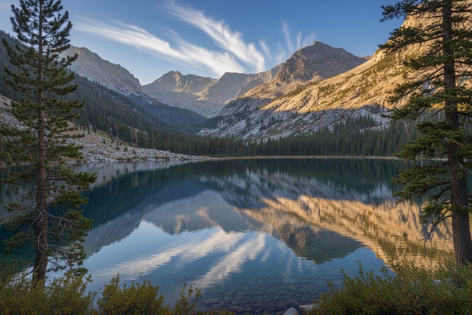
For the classic shot, head to the east shore of Bench Lake when the air is calm for a near‑perfect Arrow Peak reflection. Clear mornings and late‑day light both work; the key is windless water.
June through September gives the best combination of access and dry rock. Start pre‑dawn for any day‑push—these are 12–16‑hour outings for strong parties. For photography, aim for early morning or evening calm at Bench Lake. Weekdays reduce competition for permits and parking on both sides.
Place · 2 mi away
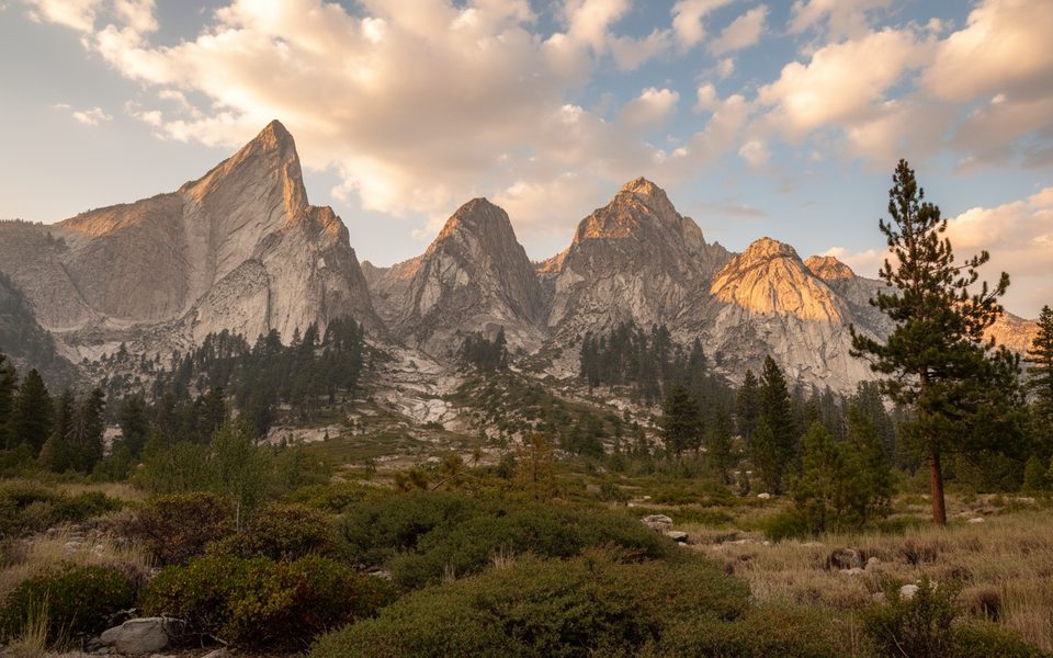
Place · 4.2 mi away
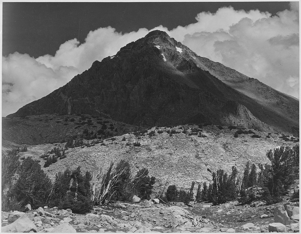
Place · 4.4 mi away
Place · 5.9 mi away
Challenging · 10.4 mi away
Challenging · 10.5 mi away
Challenging · 10.5 mi away
Challenging · 10.5 mi away

Parkwolf Tour Guide
