
Place · 0 mi away
Challenging
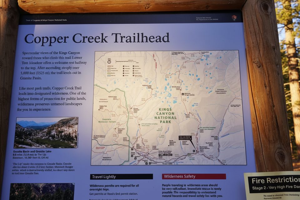
This is a demanding, high-reward adventure that climbs from Road’s End up the Copper Creek Trail, then swings onto the Granite Basin Trail to reach Granite Basin’s meadows and granite walls, with options to continue to Granite Lake and Granite Pass. Expect a sustained, exposed ascent out of the canyon, followed by classic High Sierra scenery and genuine solitude. It’s a strenuous day push for the very fit or a great 1–2 night backpack.
The full out-and-back to Granite Lake and Granite Pass is about 23.2 miles total with roughly 6,800+ feet of cumulative gain. Many hikers turn around at Granite Lake for a shorter day that lands roughly in the high-teens for total miles. Stats vary with turnaround, but count on long, steep climbing, thin air near the pass (around 10,6k feet), and a big descent back to Road’s End.
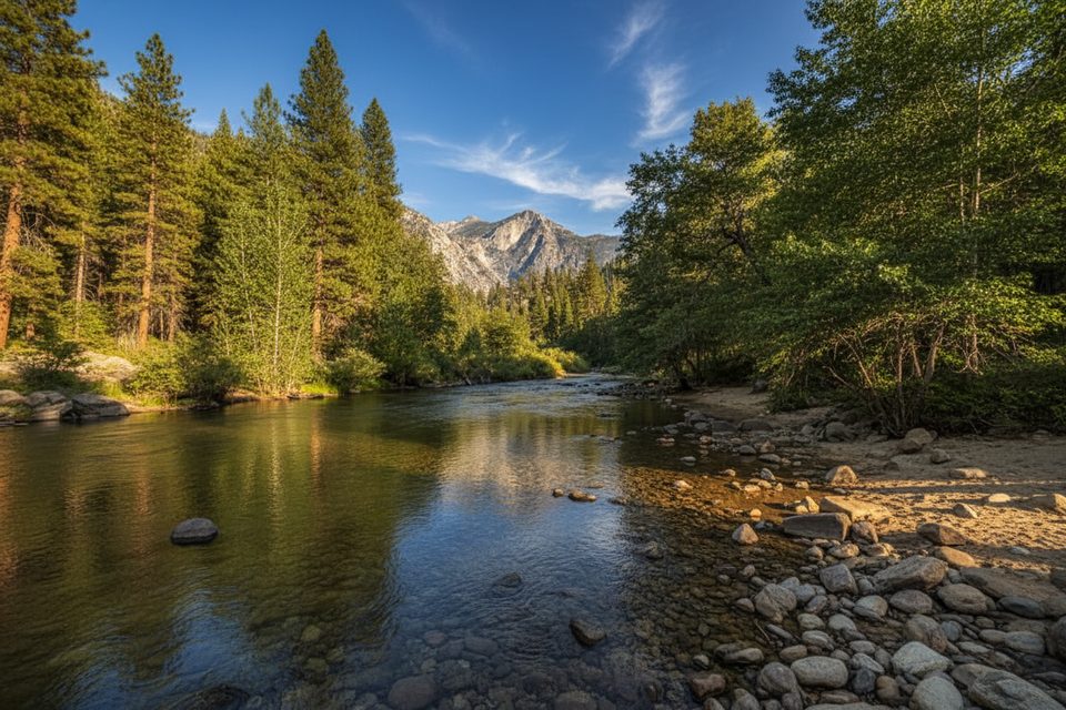
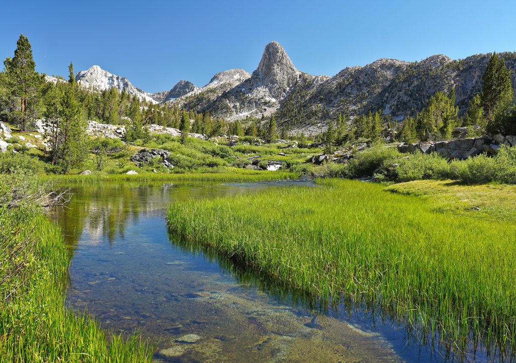
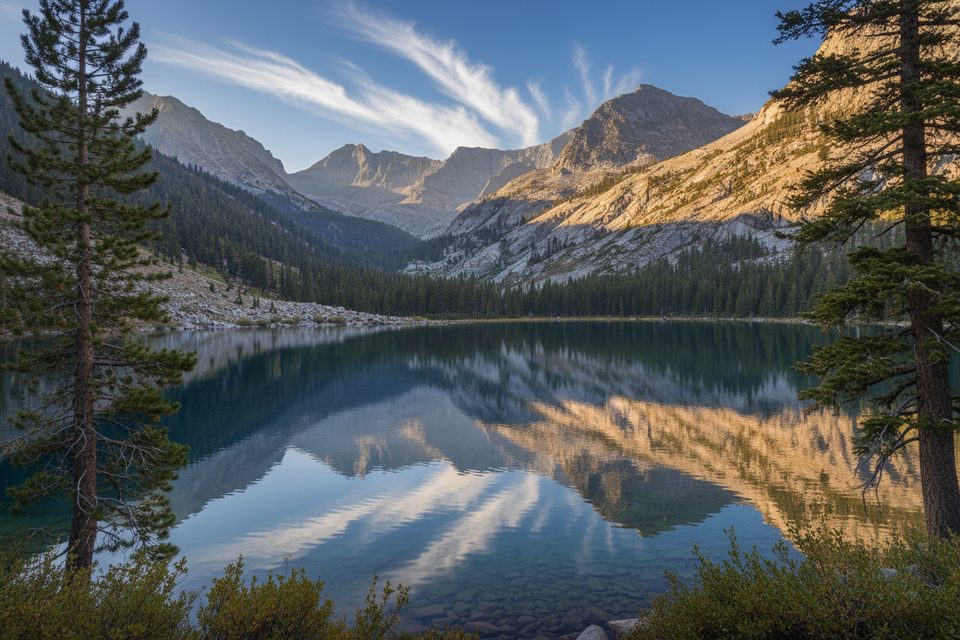
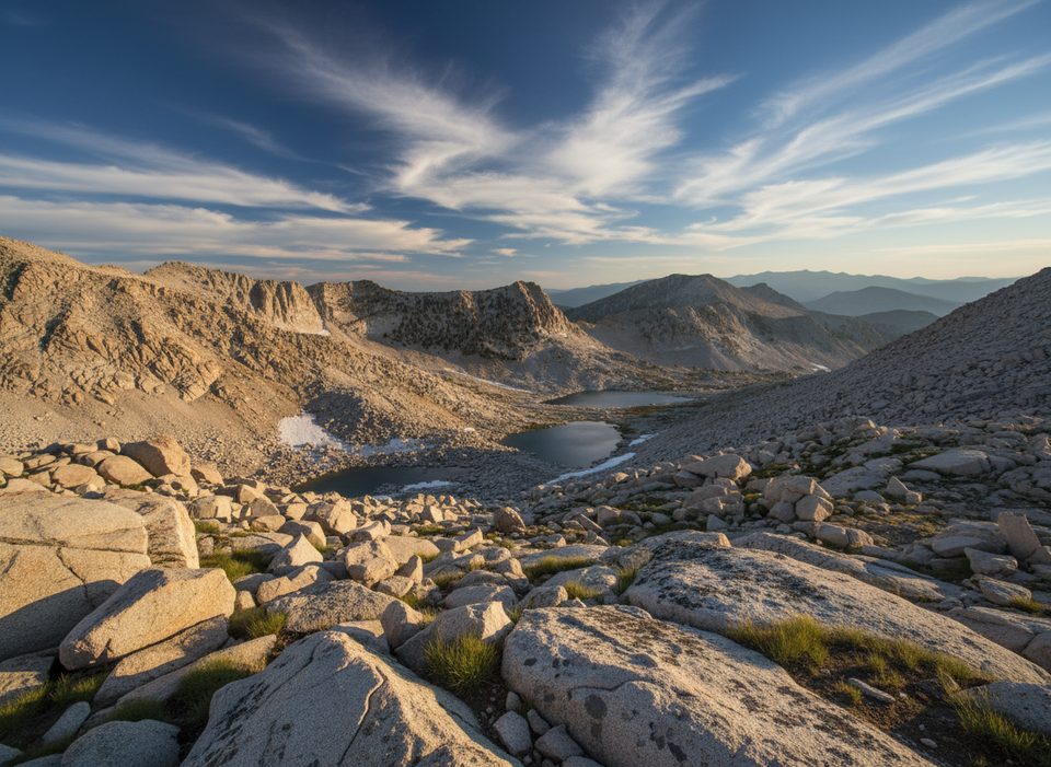
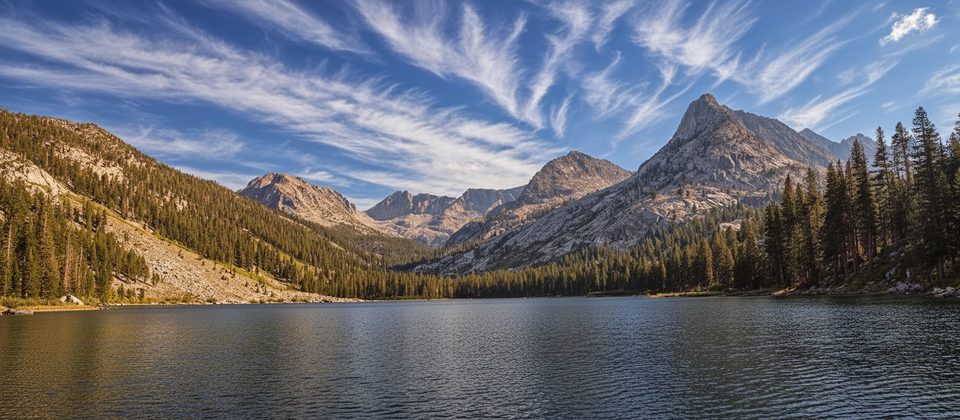
After the hot switchbacks up Copper Creek, the trail eases into forest and meadows inside Granite Basin. Early summer brings wildflowers; higher up the trees thin and views open to gleaming granite, lakes, and wide Sierra vistas from near Granite Pass. The terrain bears all the hallmarks of glaciated High Sierra country: U-shaped basins, polished slabs, and stark, high-elevation scenery.
Make no mistake—this route is hard. The initial climb is steep and exposed to heat; start early and carry ample water for that lower section. Above ~9–10k feet, pace yourself to manage altitude. Early season can leave lingering snow around Granite Pass, and mosquitoes can be intense in early summer. Expect occasional downed trees or rough tread and plan a margin of time.
Water is generally available from creeks and lakes along the route; treat all sources. For backpackers, the first legal campsite on the way up is Lower Tent Meadow, about 4 miles from the trailhead. Wilderness permits are required for any overnight trip in this area; day hikes don’t need a wilderness permit. Proper food storage is a must.
Late spring through fall is typical, with conditions heavily snow-dependent. Aim for pre-dawn or early-morning starts to beat the canyon heat on the ascent. Weekdays see fewer people, though this route is already far quieter than most Cedar Grove hikes. Check current road and trail updates before you go; storm repairs can cause delays. Buying your park entrance pass ahead of time helps speed entry at busy hours.
If you’re up for a burly climb and want a quieter slice of High Sierra granite—lakes, meadows, and a big pass view—this route delivers. If steep, hot ascents aren’t your thing, consider turning around at Granite Basin or Granite Lake rather than pushing to the pass.
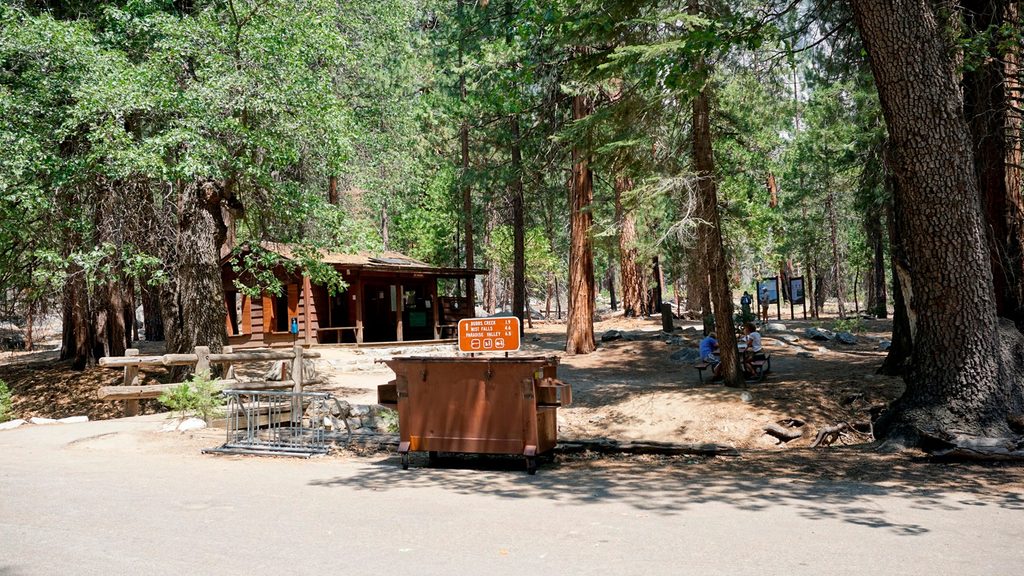
Road’s End (Cedar Grove); start up the Copper Creek Trail from here.
Steep, exposed lower climb with intense heat—carry extra water. Altitude near 10,600 ft can affect hikers; start early and pace yourself. Early-season snow may linger near Granite Pass. Mosquitoes can be heavy in early summer. First legal campsite is Lower Tent Meadow (~4 miles). Wilderness permits required for overnights.
Place · 0 mi away
Place · 0 mi away
Place · 0.1 mi away
Place · 0.1 mi away
Challenging · 0 mi away
Challenging · 0 mi away
Challenging · 0 mi away
Challenging · 0 mi away

Parkwolf Tour Guide
