Pros & cons
PROS
- Remote high-shelf lake with Arrow Peak as a dramatic backdrop
- Reported trout fishing
CONS
- Long, strenuous approach with tricky creek crossings and seasonal snow
- Limited flat campsites near the lake; expect to scout
Overview
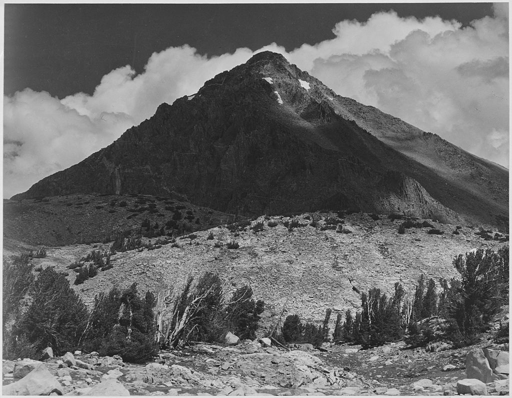
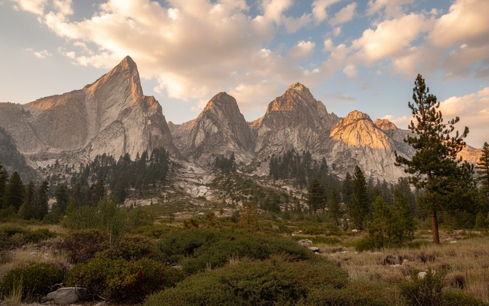
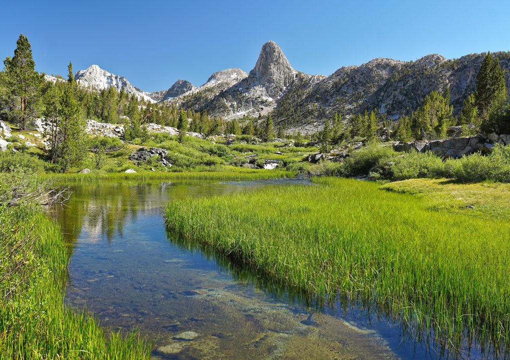
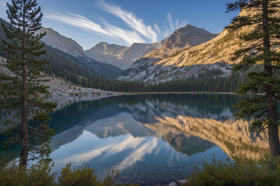
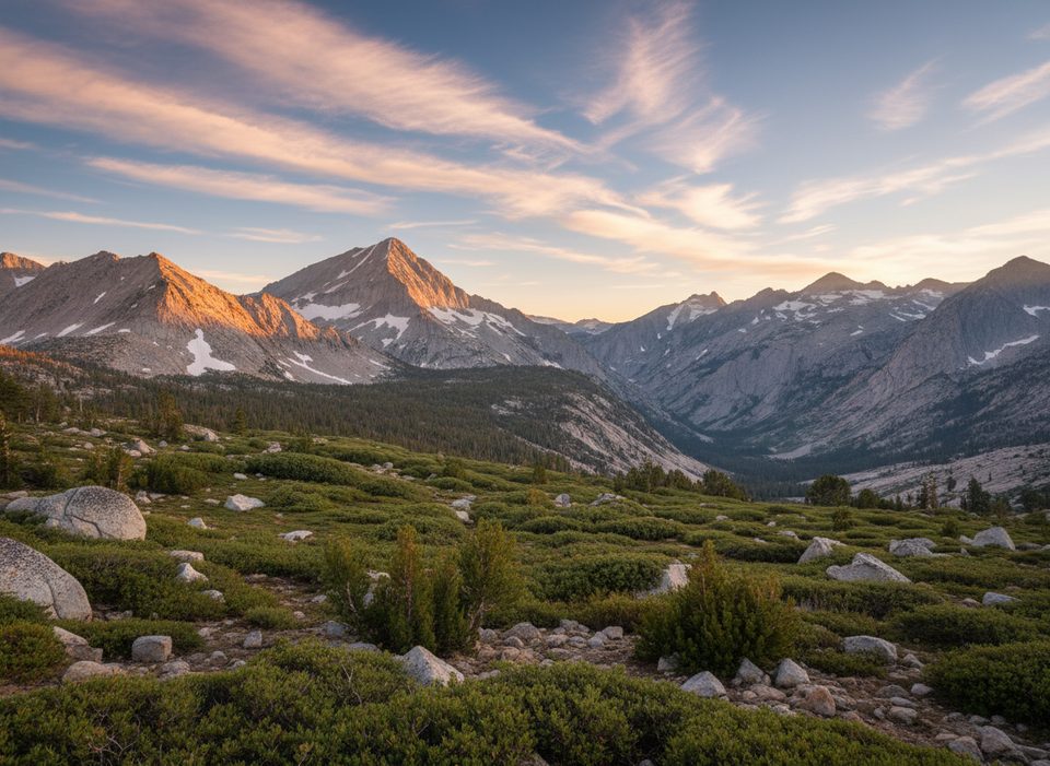
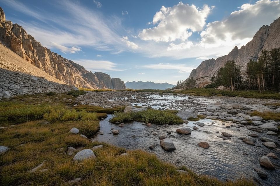
Bench Lake sits on a high shelf in the backcountry, with 12,958‑ft Arrow Peak towering above. It’s a gorgeous, quiet corner of the High Sierra—think intricate inlets and peninsulas, big views across to Cartridge Pass, and a real sense of solitude.
Getting There
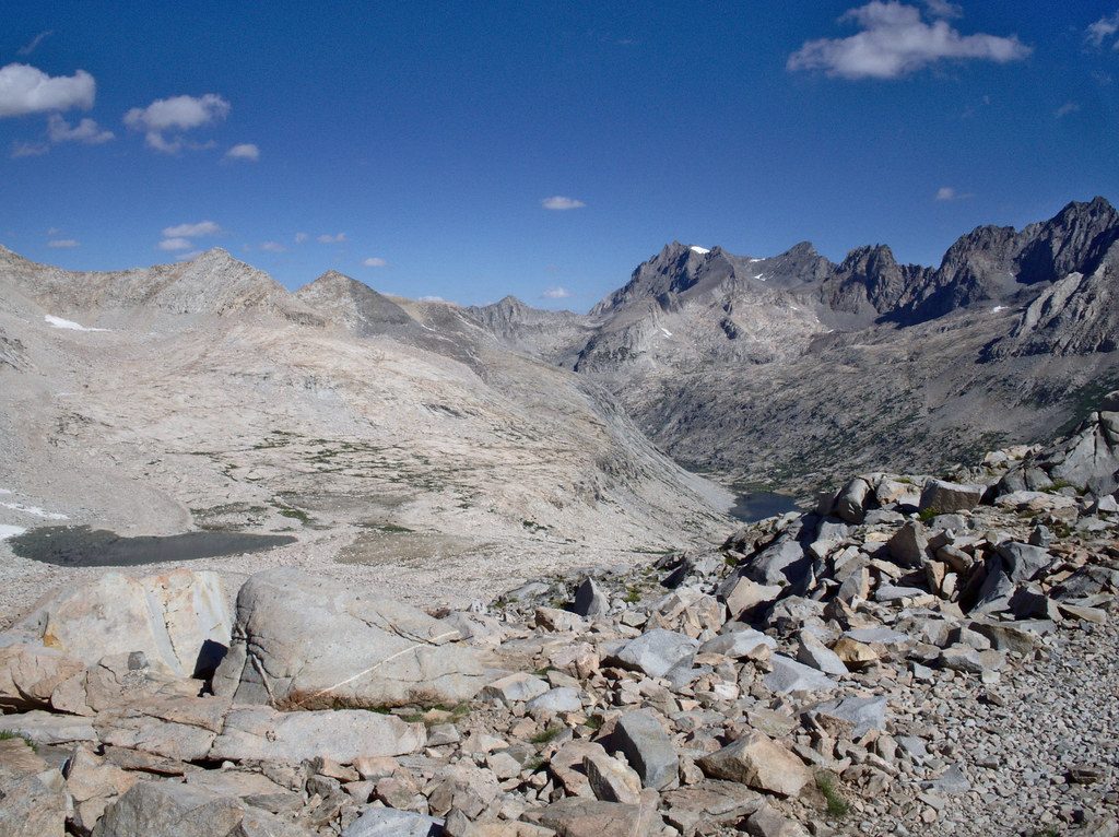
Most hikers reach Bench Lake via Taboose Pass from the east side. The approach starts in desert terrain and then climbs steeply along Taboose Creek to the pass before descending to the John Muir Trail and a signed spur to Bench Lake (about 1.7 miles). Expect at least one formidable creek crossing on the way to the spur and early-season snow lingering in shaded sections.
Trail Conditions and Hazards
- The Taboose Pass climb is serious—hot, sustained, and committing. Start pre‑dawn in warm months to beat the lower‑elevation heat.
- Creek crossings are often the crux in early season. Flows are typically lower in the morning; poles help. Snow bridges and moats can weaken as the day warms.
- Higher elevations can hold significant snow early season; competent snow travel and the right tools may be needed until melt‑out.
- The road to the Taboose Pass trailhead is rough; allow extra time and don’t count on sedan‑friendly conditions.
At the Lake
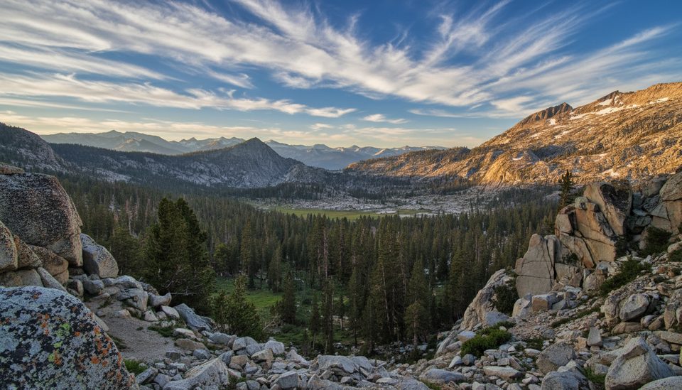
Bench Lake’s shoreline is scenic and varied, with little coves and fingers of granite. Flat tent spots exist but are limited—walk lightly and choose durable surfaces. Anglers report trout here. Look across the valley toward Cartridge Pass, a historic route that once carried the John Muir Trail before the Golden Staircase was built north of Mather Pass.
Camping and Regulations
This is true wilderness: no restrooms, no trash service, no treated water. Treat or filter from natural sources and follow Leave No Trace. Wilderness permits are required, and bears are present—follow food‑storage regulations and carry a bear‑resistant canister where required or recommended.
Best Time to Visit
Fall brings classic clear Sierra days and more stable conditions. Early summer can be beautiful but challenging, with heavy snow cover and high snowmelt making crossings hazardous and travel slow. In warm months, hit the trail before sunrise for cooler temps and safer, lower creek levels.
Where it is
36.9482, -118.4638Tips for Bench Lake
- 01Start pre-dawn to beat the heat and catch lower creek flows.
- 02Bring trekking poles; in early season be prepared for snow travel.
- 03Expect a rough road to the Taboose Pass trailhead—allow extra time.
- 04Scout carefully for flat, durable camps near the intricate south shore.
- 05Carry a bear canister and plan to treat all water.
Amenities
Near Bench Lake
All places →All trails →
2 mi awayArrow PeakRemote Sierra summit with big views and a Bench Lake mirrorScenic Viewpoint
2.9 mi awayPinchot PassHigh Sierra pass with big views over Lake Marjorie and red graniteScenic Viewpoint
4.9 mi awayCastle DomesRemote granite domes for climbers along the Rae Lakes corridorScenic Viewpoint
5.8 mi awayMather PassHigh Sierra pass with views over Palisade Lakes and Upper BasinScenic Viewpoint
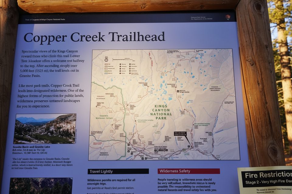
12.4 mi awayCopper Creek TrailSteep climb to quiet Granite Basin and big Kings Canyon viewsChallenging · 27.3 mi · 16 hr
12.5 mi awayWoods Creek TrailGranite canyon to the JMT’s swaying Woods Creek suspension bridgeChallenging · 28.8 mi · 12.8 hr
12.5 mi awayLake Reflection TrailLong push to a mirror still alpine cirque above East Creek.Challenging · 32 mi · 20 hr
12.5 mi awayGranite Basin TrailBig climb to a quiet alpine basin, Granite Lake, and Granite PassChallenging · 23.2 mi · 13.8 hr