
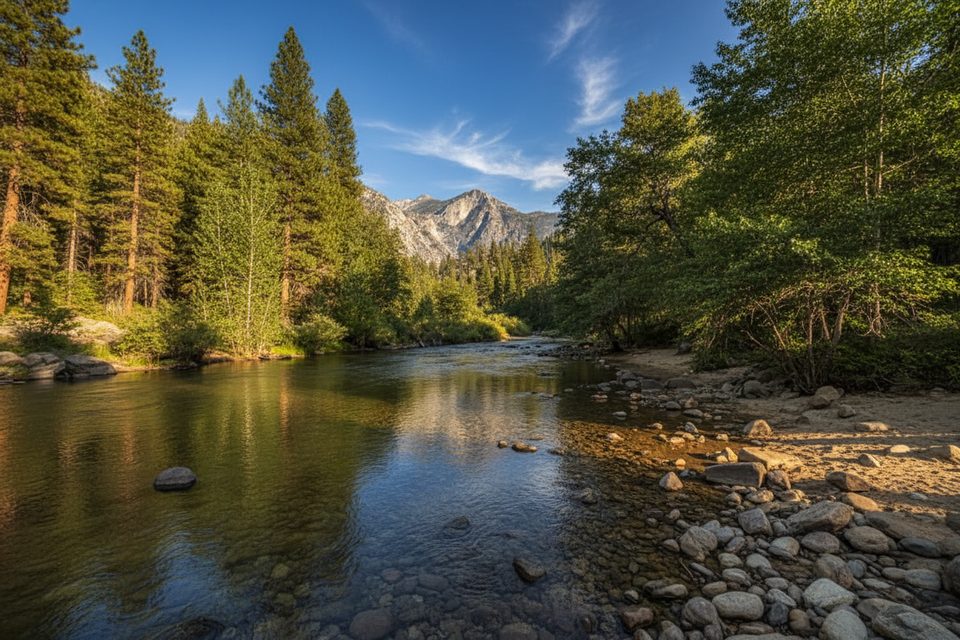
Place · 0.1 mi away
Challenging
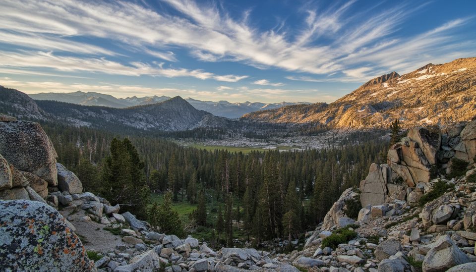
Copper Creek is Kings Canyon’s lung-burner: a sustained, switchbacking climb from the valley floor into high, rocky country. It’s primarily a backpacker access route, not a casual day hike with a tidy turnaround. If you want solitude in dramatic alpine terrain and don’t mind earning it, this is your line.
Plan on roughly 27.3 miles total for the common out-and-back itinerary, with about 7,800+ feet of cumulative gain. Many hikers treat Granite Lake as the natural turnaround, which is about 10 miles one-way (20 miles round-trip). Expect more than 5,000 feet of climbing on day one to the high crest known as “The Lip,” before dropping into Granite Basin. Typical total moving time is around 16 hours spread over 2–3 days. This is strenuous and relentless.
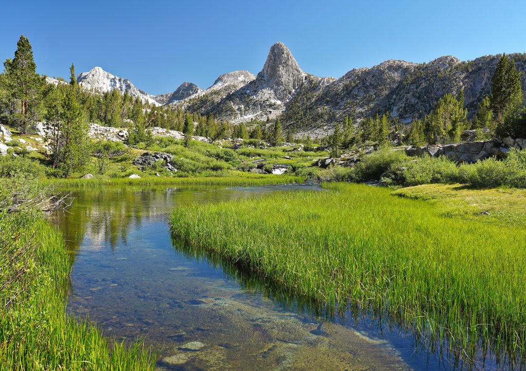
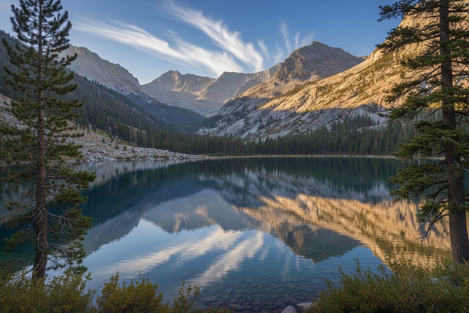
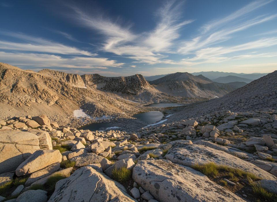
The first mile or two serves up expansive looks into Kings Canyon—granite walls and a conifer-carpeted valley—best lit in the morning. Higher up, the trail moves through forest pockets and meadows; Upper Tent Meadow frames a standout view down the Copper Creek drainage toward the Grand Sentinel. Past “The Lip,” the mood flips to stark, rocky beauty in Granite Basin: scattered alpine lakes ringed by crags. From Granite Lake you’ll eye the surrounding peaks, including familiar summits on the skyline.
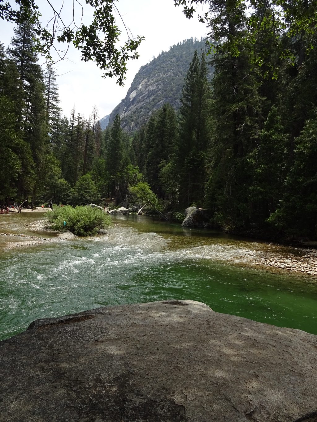
The lower climb is hot and comparatively dry. Reliable water appears near the Tent Meadows via Copper Creek, with plentiful sources around the lakes in Granite Basin—treat everything. The first legal camping is at Lower Tent Meadow roughly 4+ miles from the trailhead; Granite Lake is a classic high camp about 10 miles in. Overnight trips require a wilderness permit, and proper bear-safe food storage is mandatory.
Heat and exposure on the east-facing lower switchbacks are the crux, especially in summer—start pre-dawn to climb in the cool and to catch the best light on those early canyon views. Mosquitoes can be intense in June–July; plan accordingly. Granite Basin sees far fewer people than the valley, so you’re trading sweat for solitude.
Carry ample water for the initial climb (think 3–4 liters in hot weather), use sun protection, and bring trekking poles for the long, sandy switchbacks. The route gains altitude fast—from about 5,000 feet to over 10,000 feet on day one—so pace for acclimatization. Beyond Granite Lake toward Kennedy Canyon, expect stretches that may be faint or unmaintained; solid navigation matters. Bears are active—store food correctly and keep your camp clean.
Strong hikers who value big views, high-country lakes, and quiet camps over on-trail ease. If you’re new to backpacking or just want a quick, photogenic leg-stretcher, this isn’t the best first pick.
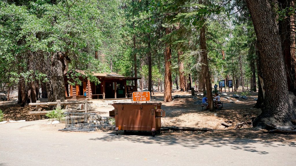
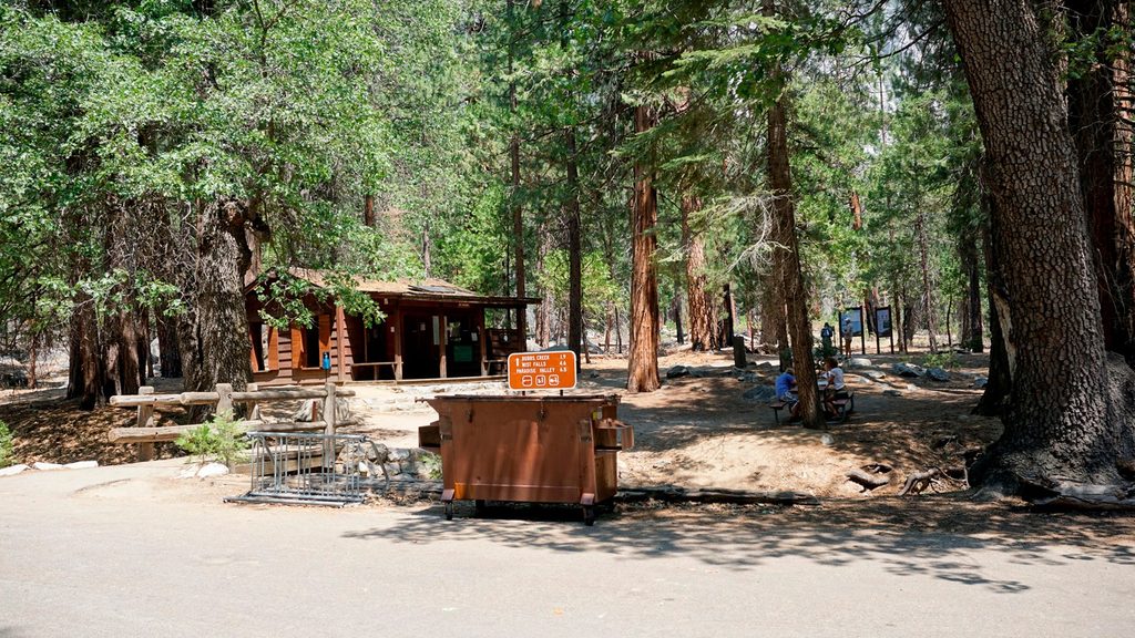
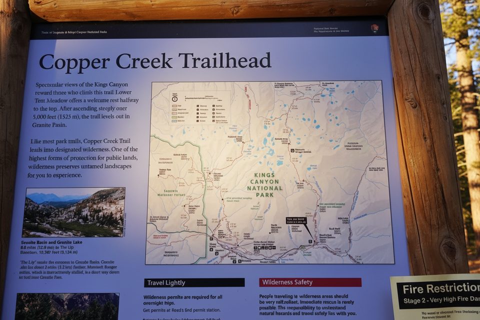
Park at the Road’s End parking area; the signed Copper Creek trailhead and orientation panel are at the lot.
Severe heat and exposure on the lower switchbacks; limited water until Tent Meadows; rapid 5,000+ ft day-one gain can trigger altitude sickness; mosquitoes peak in June–July; bears are common; sections toward Kennedy Canyon may be unmaintained—bring navigation.
Place · 0.1 mi away
Place · 0.1 mi away
Place · 0.1 mi away
Place · 0.2 mi away
Challenging · 0.1 mi away
Challenging · 0.1 mi away
Challenging · 0.1 mi away
Challenging · 0.1 mi away

Parkwolf Tour Guide
