
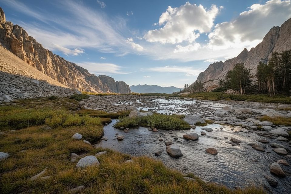
Place · 2.9 mi away
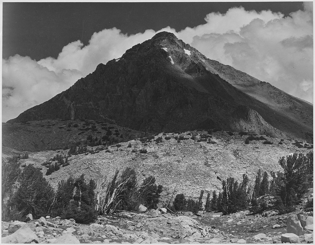
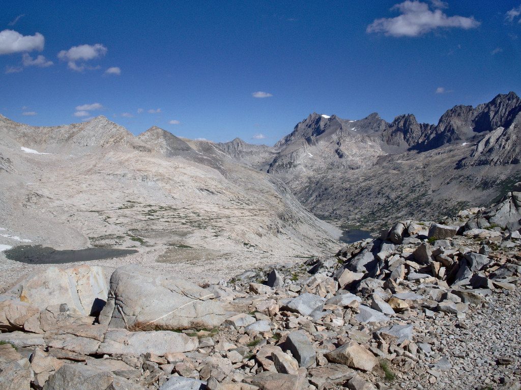
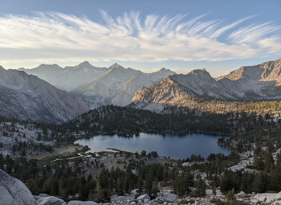
Pinchot Pass is a high, 12,1xx‑foot gateway on the PCT/JMT, sitting between Glen Pass to the south and Mather Pass to the north. It’s a milestone day on any thru- or section-hike: big alpine energy without the relentless steepness some neighboring passes serve up. Views spill north over Lake Marjorie and south across the Woods Creek basin.
Overall, the north side is the more forgiving climb/descend; many hikers find this pass less intimidating than others on the corridor when it’s snow-free.
Classic High Sierra granite basins frame both sides. On the south approach you’ll notice striking red rock near Crater Mountain mixing with pale granite—great color contrast, especially in morning light. From the top, the vista toward Lake Marjorie is the showstopper, and on clear days you’ll feel the expanse all the way toward the Palisades country. Keep an eye out for small golden trout in the South Fork Kings.
In typical summer, both sides are straightforward. Early season can leave lingering snow just below the pass on the south side, while the north side stays comparatively mellow. In big-snow years, river crossings of the South Fork Kings can be the bigger challenge than the pass itself—time your day and scout smarter crossings up-valley if needed. Expect mosquitoes around meltwater in early to mid-summer.
Water is usually abundant in season—think creeks, meltwater, and lakes like Twin Lakes (south) and Lake Marjorie (north). Camping is plentiful on both sides when snow-free; many hikers stage near/above Lake Marjorie or in the upper Woods Creek basin to set up a reasonable pass day. A seasonally staffed ranger station sits a bit over 2 miles north near the Bench Lake/Taboose junction.
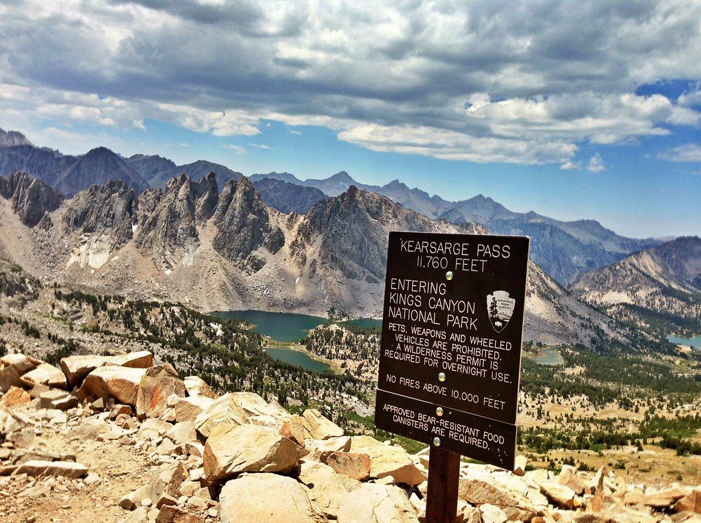
This is deep backcountry—no road access, parking, restrooms, or bear boxes near the pass. Wilderness permits are required and must be reserved in advance during the main season. Carry and use a bear canister where required on this corridor; do not rely on backcountry boxes here. Treat all water, and follow Leave No Trace—no toilets out here.
Aim for mid to late summer once most snow has melted and runoff has eased. Start early for cooler shade on the south approach and steadier footing if any snow remains. Morning light flatters the red-and-granite palette on the south side; the pass itself can collect hikers around midday. Crowds are modest by frontcountry standards but this is a popular JMT/PCT milestone.
Place · 2.9 mi away
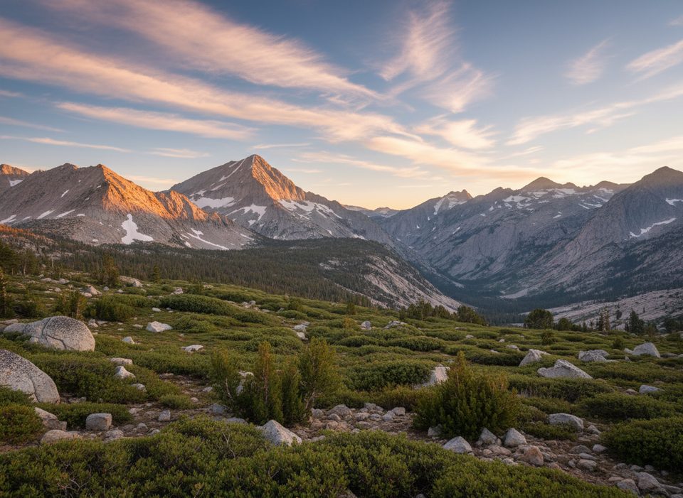
Place · 4.4 mi away
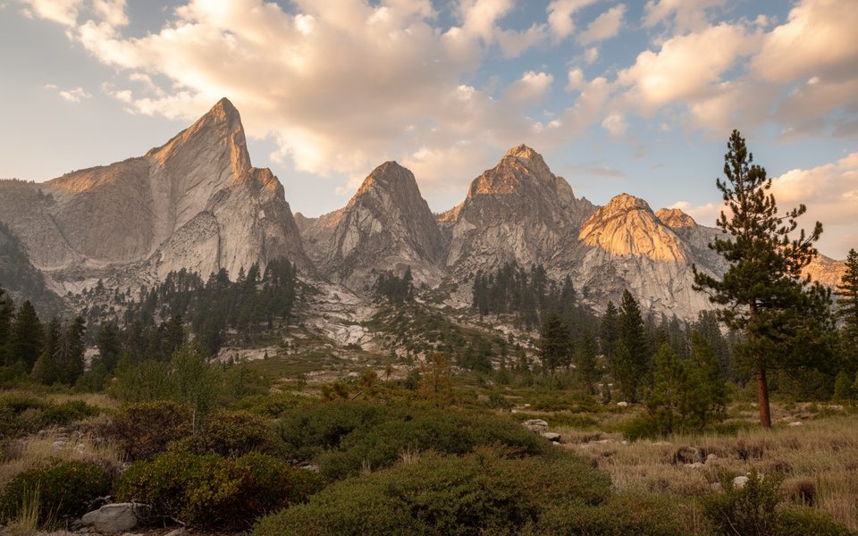
Place · 4.5 mi away
Place · 7.1 mi away
Challenging · 12 mi away
Challenging · 12 mi away
Challenging · 12 mi away
Challenging · 12 mi away

Parkwolf Tour Guide
