
Place · 1.6 mi away
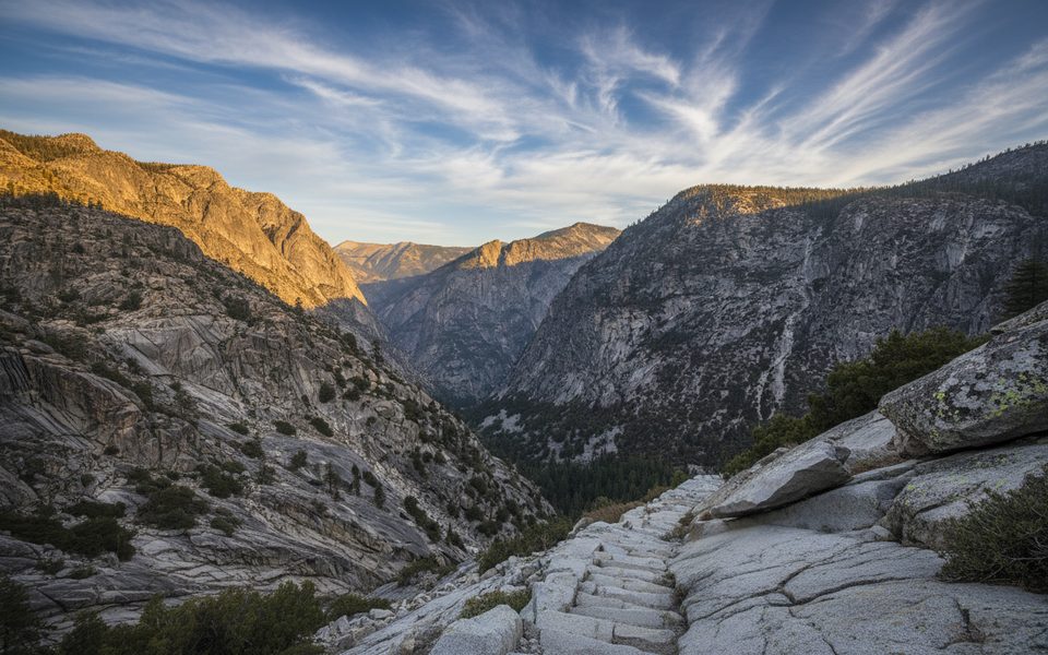
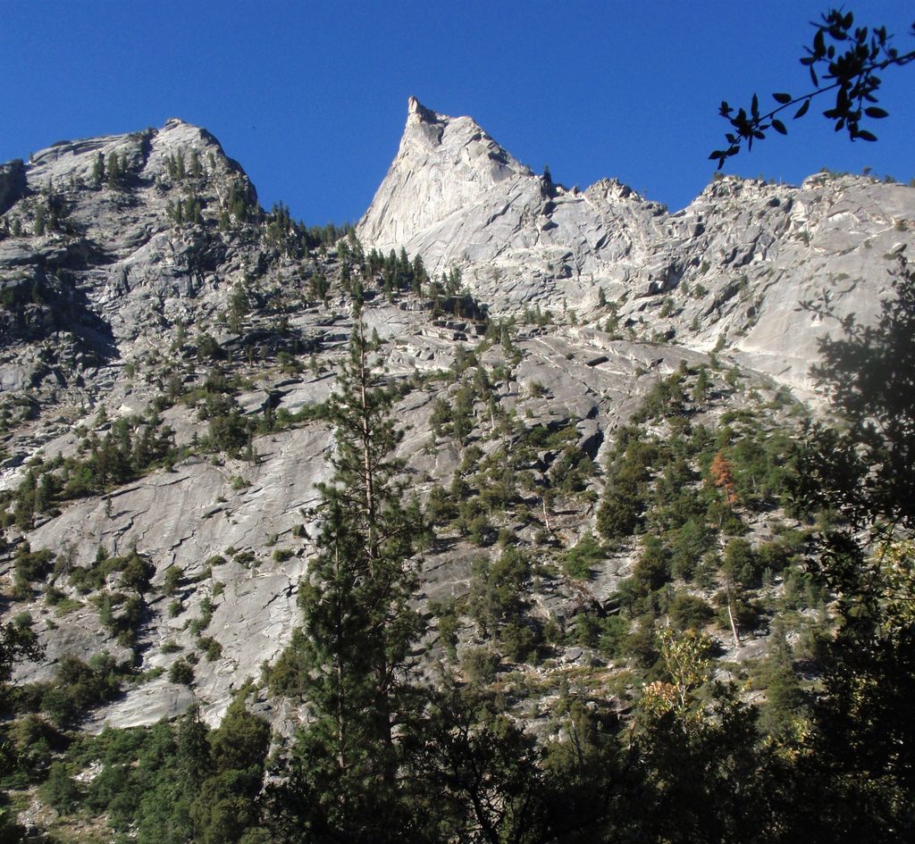
Avalanche Pass is a hard-won notch around 10,000 feet that bridges Cedar Grove’s deep granite canyon with the quieter high country around Roaring River. It’s strenuous and long, but the payoff is classic SEKI: towering walls, shady lodgepole up high, and meadows that feel a world away from the road.
Start at Road’s End, stroll a flat couple of miles along the South Fork Kings River, then turn up Bubbs Creek and begin the real work. At Sphinx Creek, turn south onto the Avalanche Pass Trail and grind up steep, switchbacking “stairs” to the pass. From there, many continue down to Roaring River and Scaffold Meadow near the historic Barton–Lackey Cabin, then return the same way. The full out-and-back runs roughly 30–31 miles with about 8,300–8,450 feet of cumulative gain, typically done as a 2–3 day backpack. Ultra-fit hikers sometimes squeeze it into a very long day.
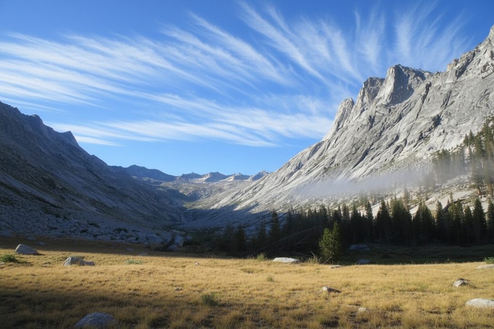
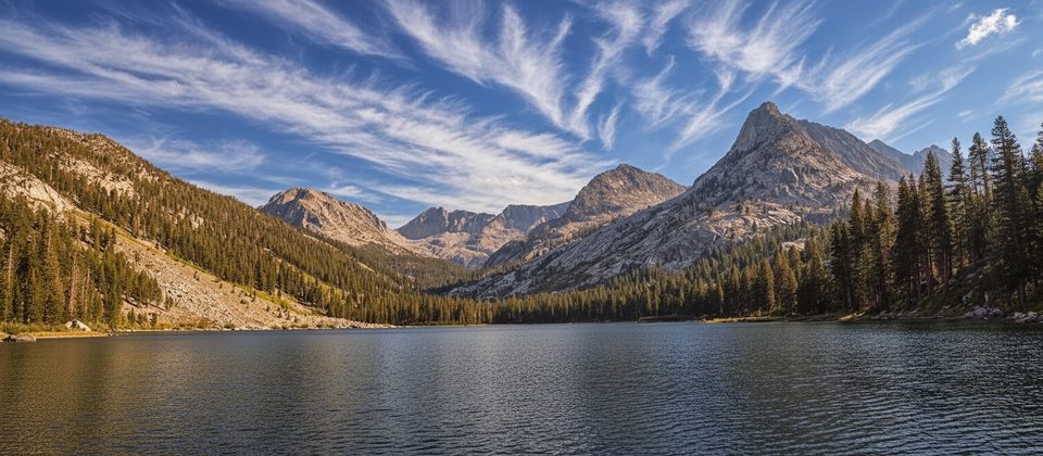
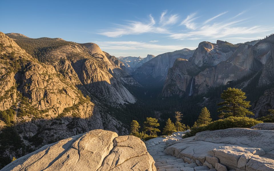
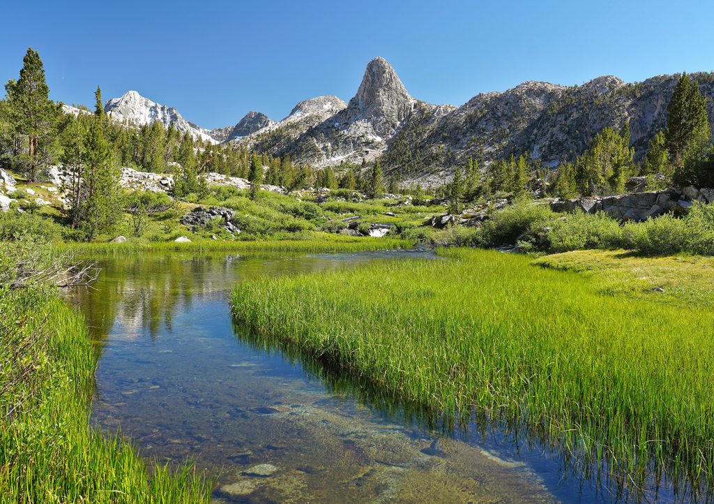
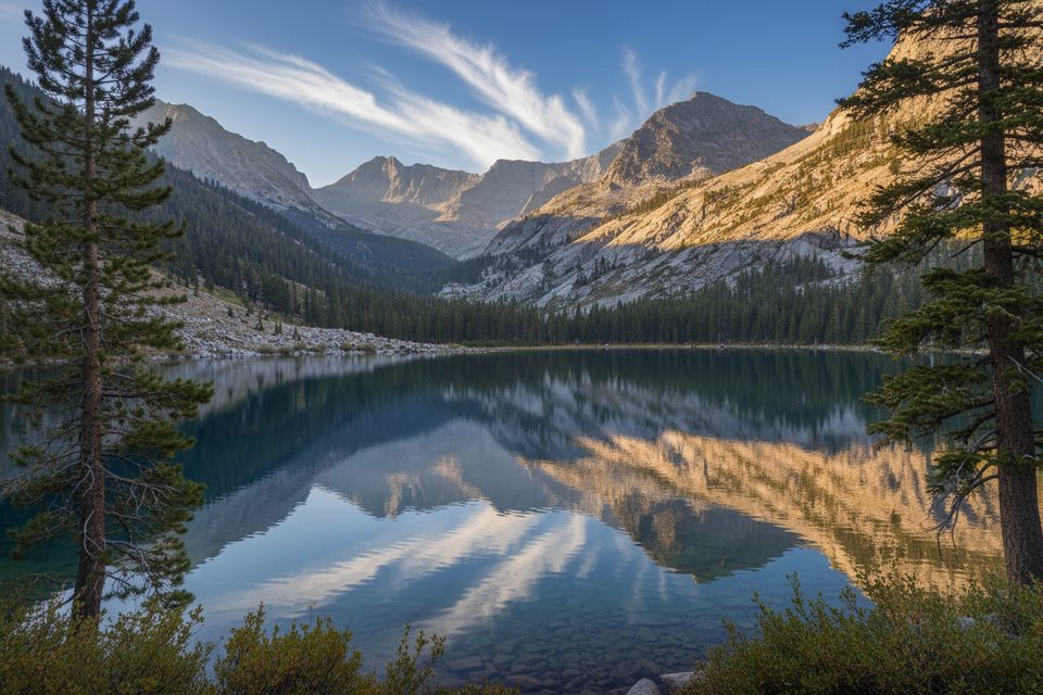
Expect views of Sphinx Rock and the sheer granite walls that make Kings Canyon feel like a hidden Yosemite. Higher up, the forest cools and opens into subalpine terrain before you drop into quiet meadows by Roaring River. It’s varied, photogenic, and far less crowded than the marquee trails.
Water is commonly available along Bubbs Creek, Sphinx Creek, and Roaring River—treat everything. On top of the pass itself, water is scarce; a small seasonal trickle can appear just south of the true pass in early summer, and there’s a reliable creek before the final climb—plan accordingly. Backcountry sites are found near Sphinx Creek and around Roaring River/Scaffold Meadow, and there are flat spots right on or near the pass if you’ve managed your water. Overnight trips require a wilderness permit (Road’s End trailheads use quotas); day hikes don’t.
Best window is typically July through September. Early season can bring lingering snow patches and the occasional washed or eroded section near the pass. The lower canyon bakes on hot days, while summer afternoons can deliver thunderstorms up high. Build buffer into your plan.
This is classic Sierra habitat—expect deer and the possibility of black bears. You’ll see signs more often than animals if you’re moving fast, but keep food stored properly and practice clean camp habits.
Start pre-dawn to beat heat on the canyon climb and to bank time for the return. Weekdays mean fewer people at Road’s End. For photos, early and late light flatters the granite walls; midday can be harsh.
If you’re up for big elevation and want a quieter slice of high country without venturing into full cross-country travel, Avalanche Pass delivers. It’s not a casual stroll—earn it, and you’ll remember it.
Place · 1.6 mi away
Place · 2.8 mi away
Place · 2.8 mi away
Place · 3.2 mi away
Challenging · 3.4 mi away
Challenging · 3.4 mi away
Challenging · 3.4 mi away
Challenging · 3.4 mi away

Parkwolf Tour Guide
