
Place · 2.3 mi away
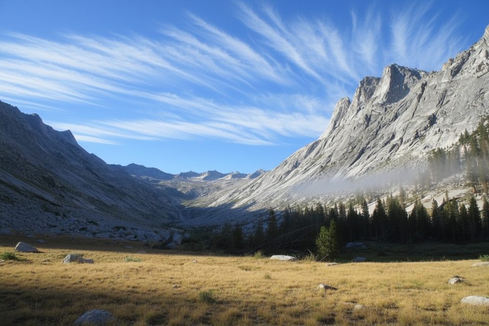
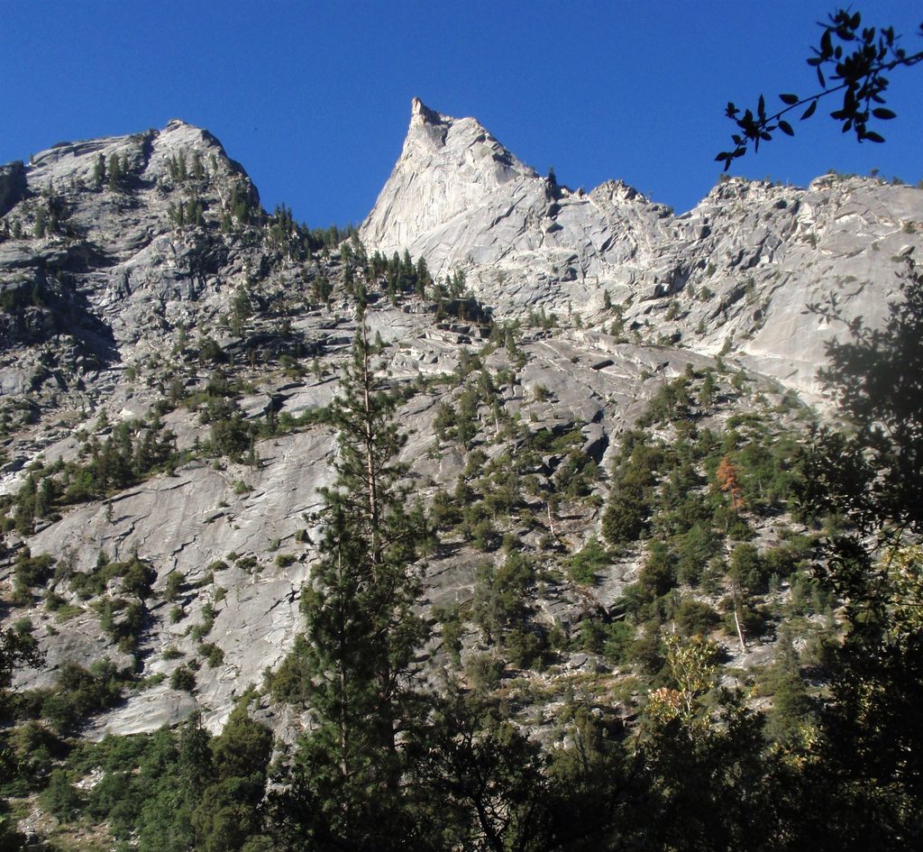
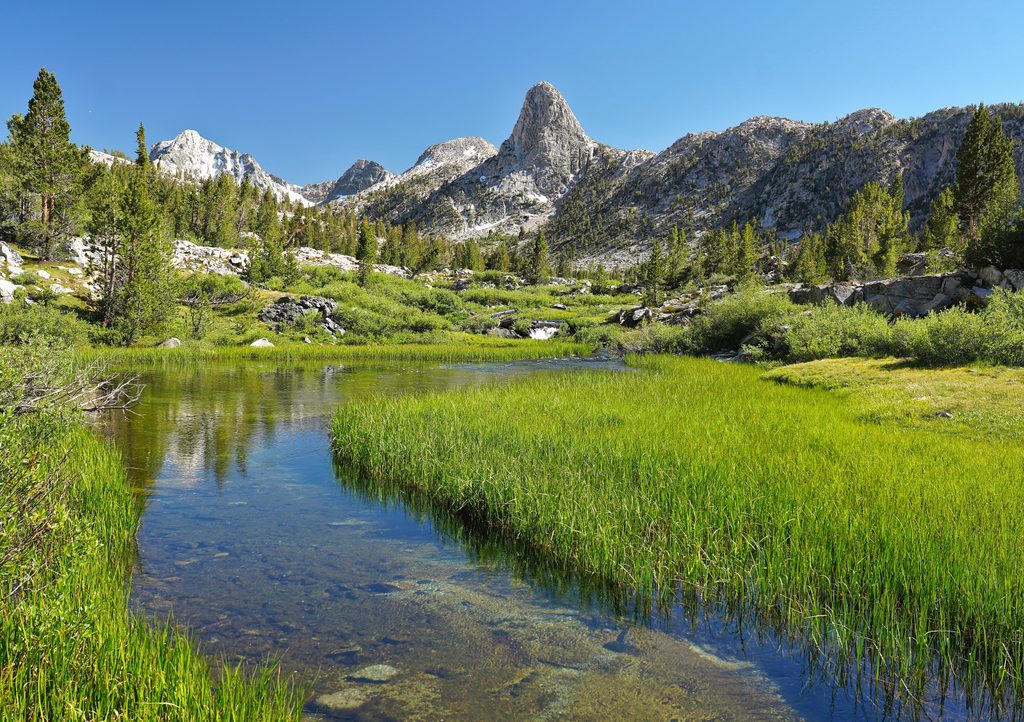
Deadman Canyon is a long, U-shaped granite trench carved by ancient ice, threaded with grassy meadows and a perennial creek. It sits deep in the backcountry, so the reward is solitude and sweeping scenery without the John Muir/PCT crowds. Expect a true Sierra immersion: long days, big passes, and an amphitheater of stone at the canyon’s head.
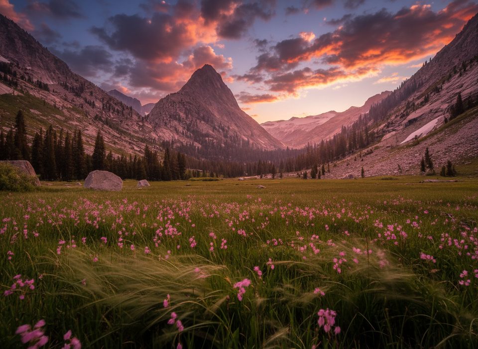
As you climb from the Roaring River side into the canyon, the forest gives way to open meadows and ever-steeper walls. Past Grave Meadow the views turn dramatic—sheer granite wrapping into a semi-circle at the headwall with a green ribbon of meadow and water running the length. Cresting Elizabeth Pass above the canyon unlocks wide-open vistas in both directions.
Most backpackers fold Deadman Canyon into a multi-day loop linking Lodgepole/Twin Lakes, Silliman Pass, the Sugarloaf–Roaring River country, Deadman Canyon, and Elizabeth Pass before exiting toward Bearpaw/Crescent Meadow. It’s strenuous: heavy packs, long mileage, and two high passes—plan conservative days when tackling pass climbs and give yourself time for weather.
Good camping exists throughout the corridor, with an especially prized spot around 9,600 feet at the canyon headwall where the creek is close and granite walls tower above. Camps at Buck Creek (beyond the pass) tend to be small and crammed between trail and water, so many hikers push on to better sites. Bear boxes exist at several established camps along the broader loop, but there are none for a long stretch between Roaring River and Bearpaw—carry a canister for flexibility.
Major creeks and lakes are typically reliable, but smaller tributaries can go dry in late season. Top off before big climbs and always treat your water. Summer afternoons often brew thunderstorms—aim to cross high passes early. Some trail segments on the loop can feel faint or overgrown, particularly near pass approaches and descents; bring solid navigation and keep an eye out for cairns.
Black bears are a normal part of the landscape—store food properly and keep a clean camp. Mosquitoes can be fierce in meadow zones earlier in the season, improving as summer wanes. Leave No Trace: camp well away from water and fragile meadows.
Mid to late summer into early fall is the sweet spot once high snow melts. Start days early for cooler climbs and to dodge afternoon storms. Weekdays see even fewer people, and morning light is best for photographing meadows and the headwall while breezes are calm.
Place · 2.3 mi away
Place · 3.2 mi away
Place · 4 mi away
Place · 4.8 mi away
Easy · 5.8 mi away
Challenging · 6.2 mi away
Challenging · 6.2 mi away
Challenging · 6.2 mi away

Parkwolf Tour Guide
