
Place · 0.1 mi away
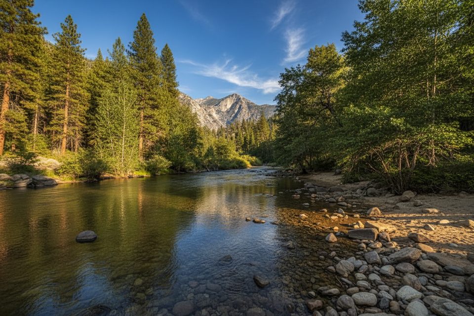
The Kanawyer Mine Site is a low-key slice of park history tucked near the end of the road in Cedar Grove. You won’t find big ruins or signage—this one’s for folks who enjoy connecting dots: a historic copper–gold–molybdenum vein on the canyon wall, the roar of the South Fork Kings River, and giant granite faces like Grand Sentinel looming overhead. It’s best visited as a short spur while you’re already walking the mellow Kanawyer Loop.
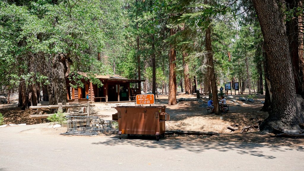
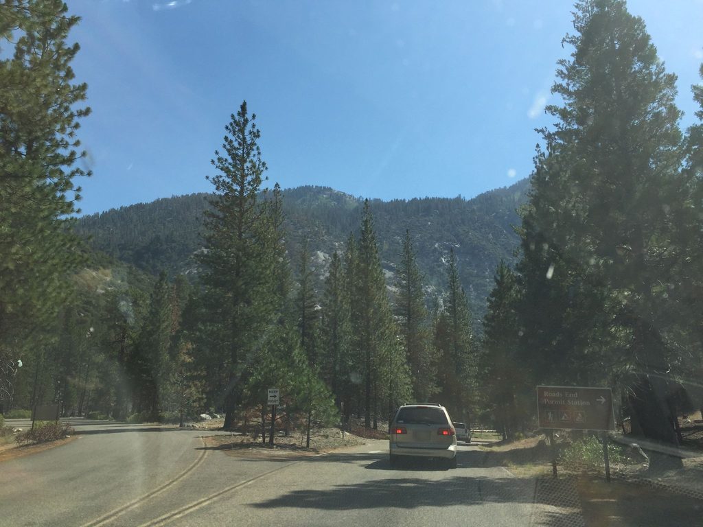
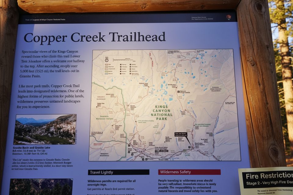
Start from Road’s End in Cedar Grove and walk the Kanawyer Loop, which follows both banks of the South Fork between Road’s End and the Bubbs Creek confluence. Cross the footbridges to make a tidy loop; near Copper Creek, a brief off-trail detour leads to the mine area on the south wall. Expect a long, mostly level stroll with big-wall views. The loop also doubles as the start/finish of the famed Rae Lakes Loop.
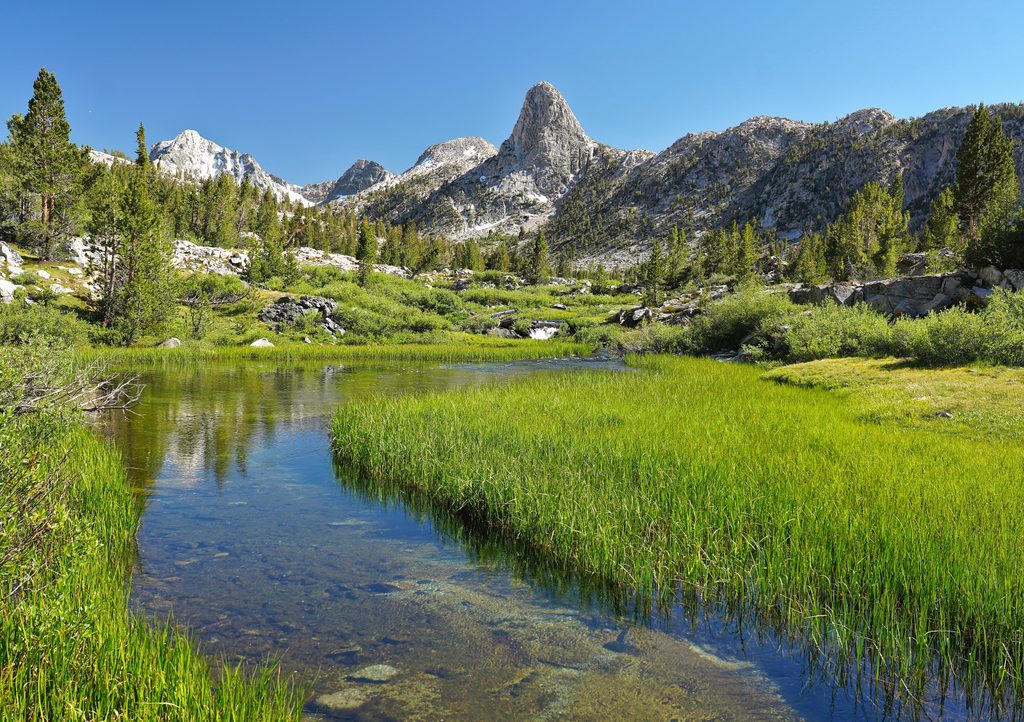
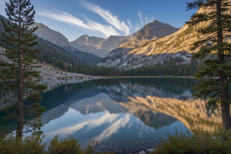
This is about landscape plus subtle history. Look for surface cuts and a cliff exposure that reveal the vein, framed by a classic U‑shaped, glacially carved canyon. On clear days you’ll snag wide views of Grand Sentinel, The Sphinx, Glacier Monument, and Buck Peak while strolling through riparian forest and sandy stretches near the river.
Named for early prospector Peter Kanawyer, the site worked a copper–gold–molybdenum vein hosted in granodiorite. The vein is 6–15 feet wide and can be traced for over two miles at the surface, with molybdenite as a primary mineral. Workings were mostly open cuts rather than deep tunnels. It’s a neat window into how miners once probed the Sierra Nevada batholith—right in a canyon carved by multiple glaciations.
Road access to Cedar Grove is typically spring through fall. Early in the season, expect high, cold water in side creeks—an unimproved crossing on the loop can mean a cautious wade instead of a sketchy log-hop. Summer brings heat and bright sun on reflective granite; the riverside sections are a blessing when it’s toasty.
Black bears are part of daily life here. Make noise, give them space, handle all food and scented items properly, and never feed wildlife. You don’t need or use bear spray in the park.
Old mine sites can be unstable—don’t enter or disturb any workings. Rock and mineral collecting is prohibited in national parks. Stay mindful near swift water, especially in spring. Pack out all trash and leave the site as you found it.
If you’ve got gas in the tank, tack on the Mist Falls trail from the Bubbs Creek junction—one of Cedar Grove’s marquee hikes and a natural complement to this history stop.
Place · 0.1 mi away
Place · 0.1 mi away
Place · 0.1 mi away
Place · 0.1 mi away
Challenging · 0.1 mi away
Challenging · 0.1 mi away
Challenging · 0.1 mi away
Challenging · 0.1 mi away

Parkwolf Tour Guide
