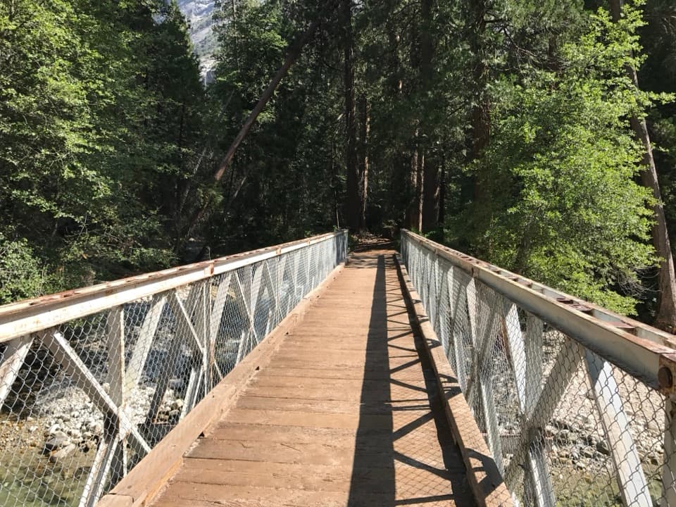
Pros & cons
PROS
- Scenic granite perch on the Kings River
- Easy add‑on stop near Zumwalt Meadow and Road’s End
CONS
- River currents can be deceptively dangerous
- Hot on summer afternoons with limited shade
Overview
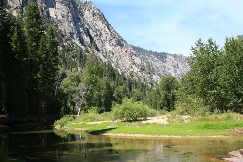
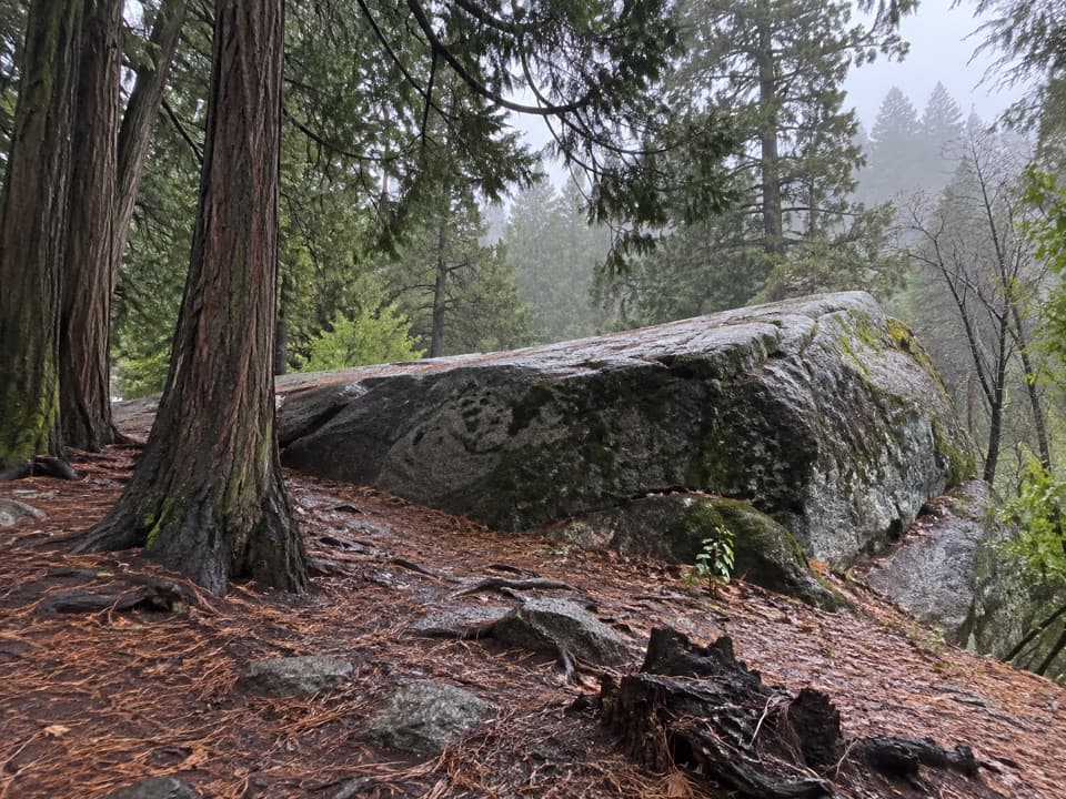
Muir Rock is a broad granite slab on a quiet bend of the Kings River in the Cedar Grove area, near Road’s End. John Muir reportedly spoke here about the grandeur of this glacially carved canyon—one reason the place carries his name. It’s a mellow stop with big canyon walls, clear river water, and room to sit, dangle your feet, and take it all in.
Getting There
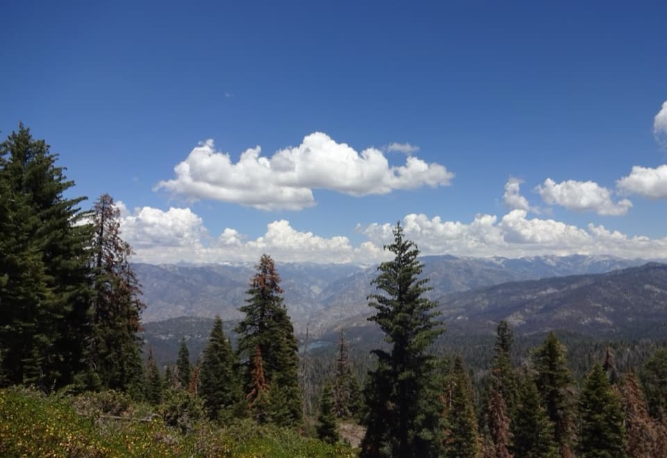
Follow CA‑180 all the way down Kings Canyon to Cedar Grove and continue to the east end of the road. A short, well‑traveled path leads from the Road’s End area to the rock. The drive is stunning but slow and winding with steep drop‑offs—build in extra time and use pullouts rather than trying to soak in views from the wheel.
What You’ll See
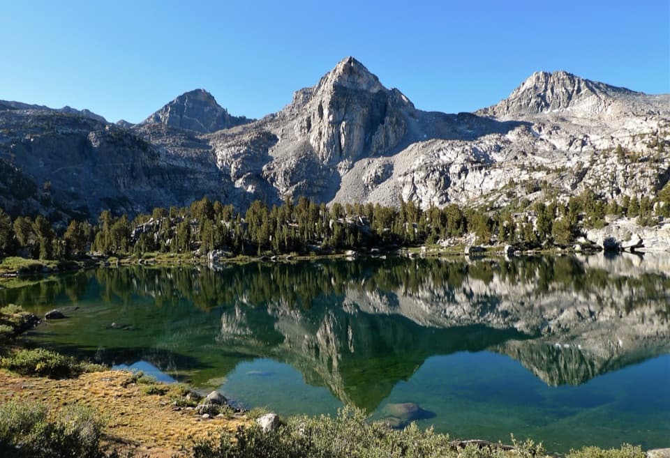
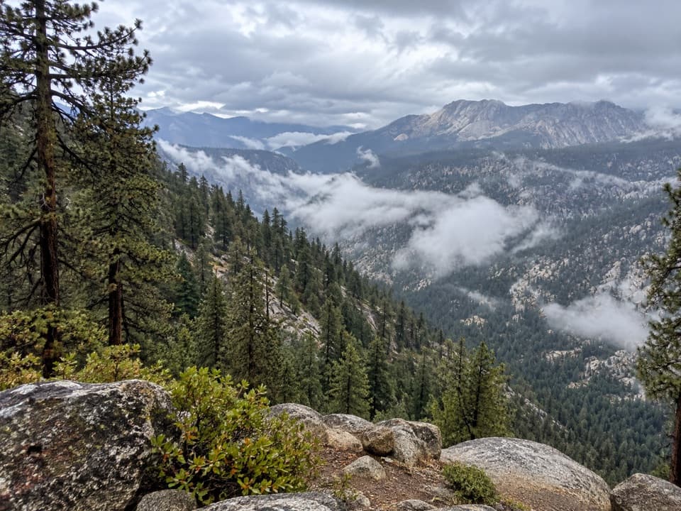
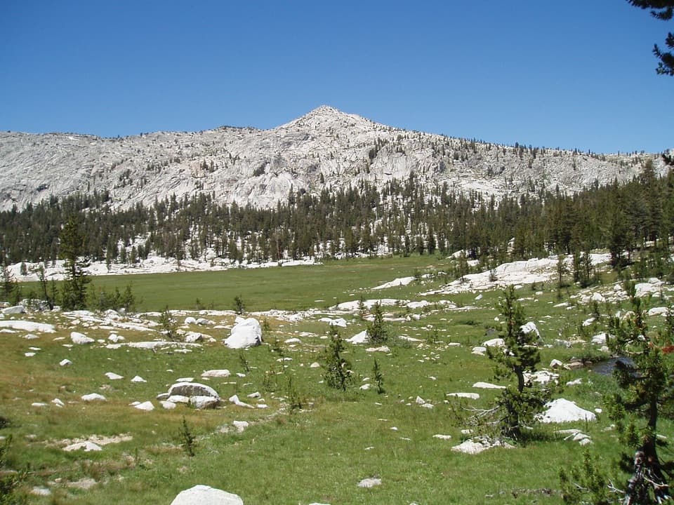
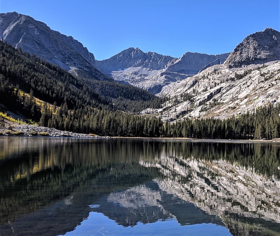
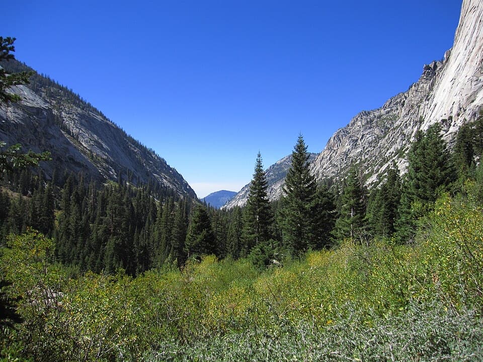
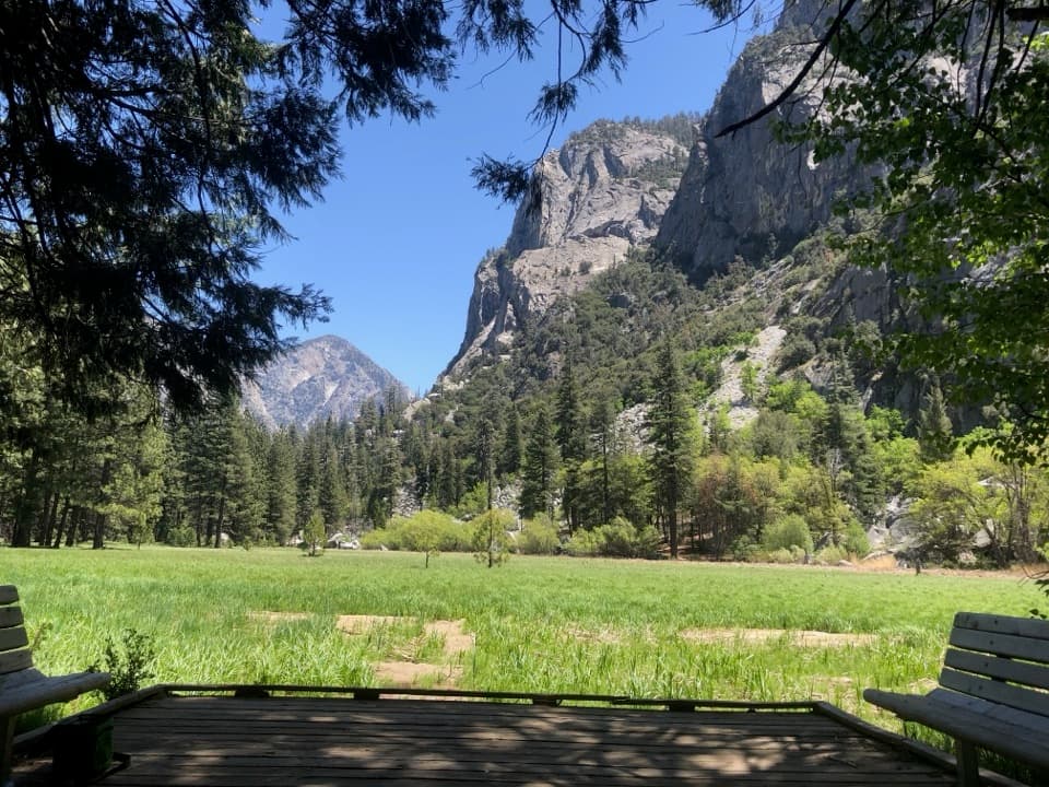
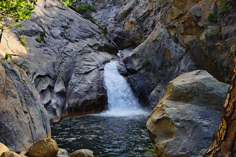
Expect classic Sierra scenery: polished granite, emerald pools, and sheer valley walls. It’s an easy place to snap photos or cool your feet on a hot day. Many visitors pair Muir Rock with the mostly flat Zumwalt Meadow loop nearby for river, meadow, and canyon vistas in one go.
Safety and Wildlife
The river can look calm but hides swift, cold currents—especially outside late summer. If you choose to enter the water, do so cautiously. Rocks near waterfalls and along the river are slick. Black bears are active in Cedar Grove; keep your distance and never leave food or packs unattended. Pets aren’t allowed on park trails here.
A Bit of Context
Muir championed protection of this canyon and argued—correctly—that glaciers shaped it. If you’re curious, the “Gem of the Sierra” film at the visitor center tells more of that story. Standing on the rock with the river roaring past, it’s easy to see why he was smitten.
Best Time to Visit
Mornings and late afternoons bring softer light, cooler temps, and fewer people. Summer days on the canyon floor get hot, so plan shade breaks and water. On holiday weekends, lines at park entrances can be long—arrive before 9 a.m. or after 3 p.m. Cell service is spotty to nonexistent in Cedar Grove, so download maps beforehand.
Pair It With
- Zumwalt Meadow Trail for a short, scenic loop.
- A slow drive with scenic pullouts along the Kings Canyon road.
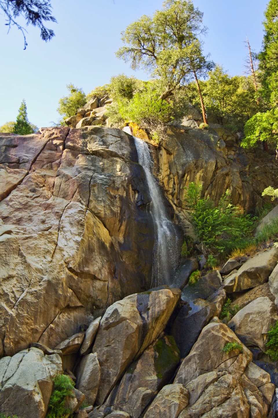
- A quick side stop at nearby roadside cascades—use care on wet rock.
Where it is
36.7939, -118.5834Tips for Muir Rock
- 01Pair it with the Zumwalt Meadow loop for a relaxed half‑day.
- 02Visit early or late for cooler temps and better light.
- 03Do not underestimate the river; avoid swimming when flows are high.
- 04Expect little to no cell service in Cedar Grove—download maps offline.
- 05The road to Cedar Grove is winding; plan extra time and use pullouts.
Amenities
Near Muir Rock
All places →All trails →
0.1 mi awayEast Lake TrailSteep spur to a quiet granite basin with East Lake and Mount BrewerChallenging · 3.4 mi · 1.5 hr
0.1 mi awayAvalanche Pass TrailSteep, shady climb to a quiet pass with big canyon views.Challenging · 30.8 mi · 17.6 hr
0.1 mi awayWoods Creek TrailGranite canyon to the JMT’s swaying Woods Creek suspension bridgeChallenging · 28.8 mi · 12.8 hr
0.1 mi awayLake Reflection TrailLong push to a mirror still alpine cirque above East Creek.Challenging · 32 mi · 20 hr
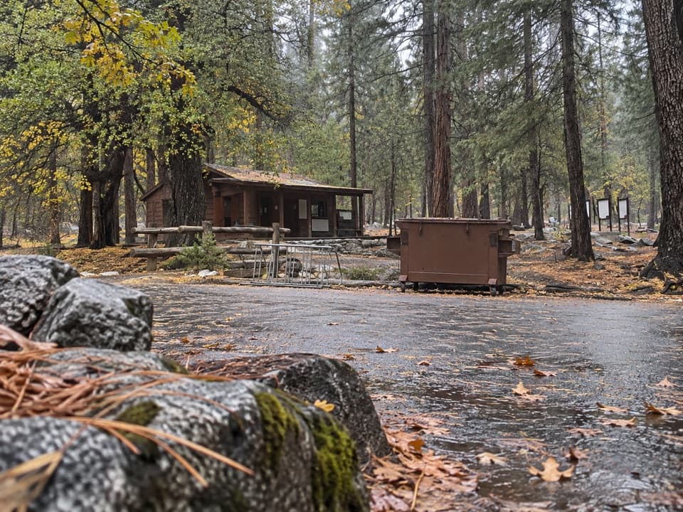
0.1 mi awayRoad's End Permit StationCedar Grove’s launchpad for permits and big Sierra trailheadsRanger Station · Trailhead
0.1 mi awayRoad's End Wilderness Permit Station Park StoreTiny SPC bookstore at the permit hub, handy before trailheadsStore · Ranger Station
0.1 mi awayKanawyer Mine SiteQuiet historic mine tucked off the flat Kanawyer Loop
0.2 mi awayRoad's EndTrailhead at the canyon’s end for Mist Falls and Rae LakesTrailhead · Restroom