
Place · 0 mi away
Challenging
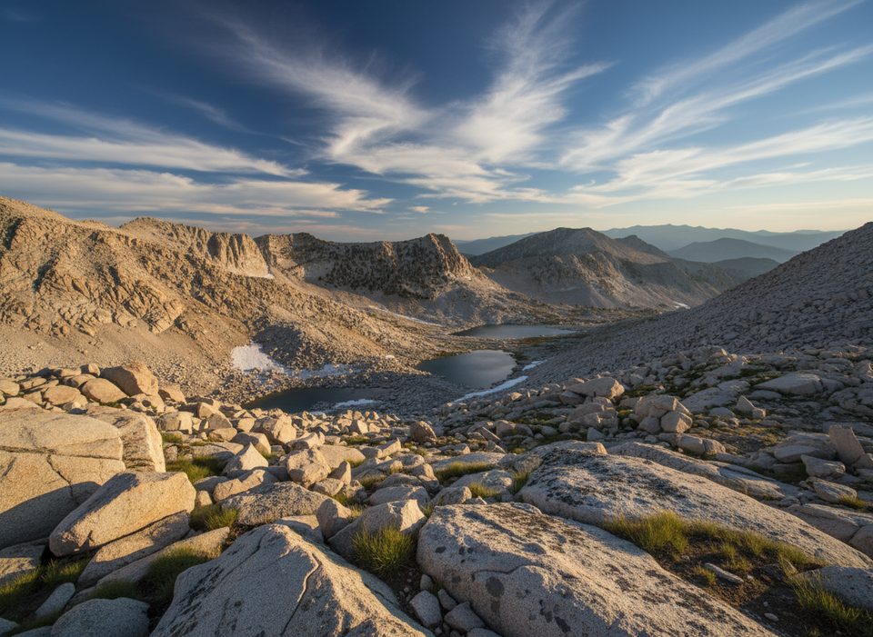
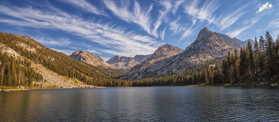
This is a big, burly outing into a spectacular high-country basin. From Road’s End, you’ll grind up the Bubbs Creek corridor and the steep Sphinx (Avalanche Pass) Trail, then leave maintained tread for true cross‑country travel to a chain of glacial lakes tucked beneath serrated granite. Plan for roughly 26 miles total (out-and-back) if you push to the uppermost lake near Sphinx Pass; many backpackers target Lakes 1–2 or the Twin Lakes and make a 2–3 day trip of it. Water is plentiful, but the terrain is slow and complex.
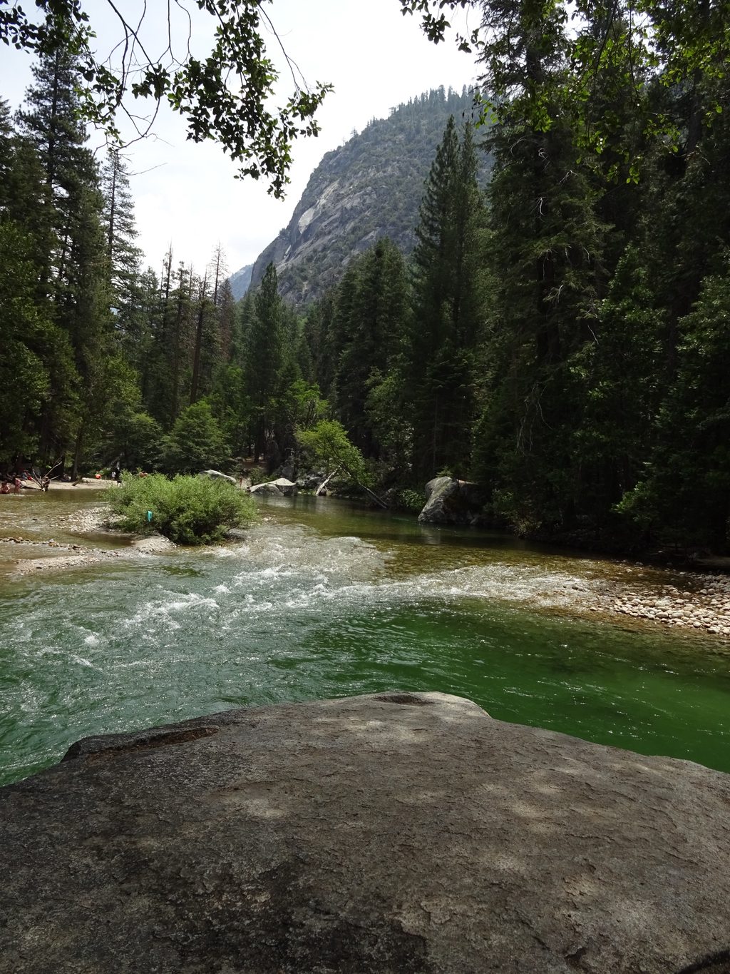
Start at Road’s End and follow signs for Bubbs Creek to the Sphinx Creek junction, then turn up the Sphinx/Avalanche Pass Trail. After sustained switchbacks along rushing water, you’ll leave the trail near Sphinx Creek and go cross‑country toward a swampy meadow below granite slabs that lead to Lake 1. Two main approaches exist: exit the trail before the main creek crossing and contour through forested slopes (faster, more off‑trail), or stay on trail to the unbridged Sphinx Creek crossing and climb on the west side of the creek (simpler to follow but can be a serious crossing in early season). From Lake 1, expect use‑trails, slabs, and talus to reach Lake 2 and the Twin Lakes (3–4). Strong parties continue up bouldery canyons to Lakes 5–7 and, optionally, Sphinx Pass for huge views.
This is advanced travel: steep on‑trail climbing followed by long stretches of route‑finding, brush, slabs, and talus. Expect slow miles, especially above Lake 1. Early season can stack hazards—snow patches up high and a hazardous, unbridged Sphinx Creek crossing. Mosquitoes can be fierce around meadows in mid‑summer. While there’s plenty of flowing water, bring reliable treatment and robust navigation tools. A fit, dialed team might reach the upper basin in about 7–8 hours one way; most hikers are happier breaking the trip into multiple days.
Mid to late summer into early fall typically offers the most reliable conditions: lower flows for the creek crossing, melted-out slabs and talus, and longer daylight. Early season brings snow and swift water; late season brings short days and colder nights. Start pre‑dawn for a day push to the lower lakes, and time your ascent so the high basin lights up in afternoon sun for photos. The road to Road’s End is seasonal—always verify access before you commit.
Day hikers do not need a wilderness permit. Overnight trips do. For itineraries starting at Road’s End, permits are issued for the Bubbs Creek/Avalanche Pass corridor. The first legal camp on the Bubbs Creek side is at Sphinx Creek Junction (about 4 miles from Road’s End). In the lake basin, practice strict Leave No Trace and expect to self‑select durable, low‑impact sites away from water.
Experienced hikers and scramblers craving a wild, less‑traveled alpine basin, big elevation, and choose‑your‑own‑adventure route‑finding. If you just want an easy alpine stroll, this isn’t it.
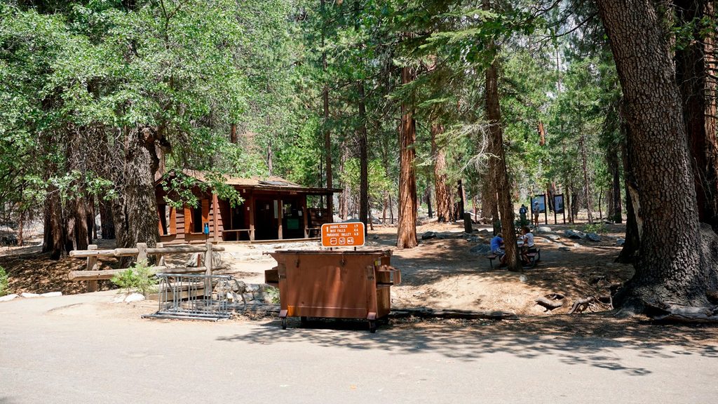
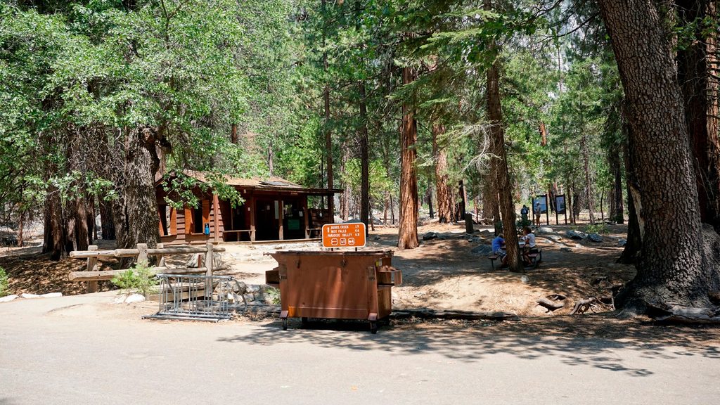
Park at the Road’s End lot in Cedar Grove (near the ranger station/information area). Start on the Bubbs Creek Trail toward the Sphinx Creek junction.
Significant off‑trail navigation, steep slabs and talus, and an unbridged Sphinx Creek crossing. Early season snow and high water increase risk. Expect mosquitoes in meadow zones; carry robust navigation and be prepared to turn around if the crossing isn’t safe.
Place · 0 mi away
Place · 0 mi away
Place · 0.1 mi away
Place · 0.1 mi away
Challenging · 0 mi away
Challenging · 0 mi away
Challenging · 0 mi away
Challenging · 0 mi away

Parkwolf Tour Guide
