
Place · 0.2 mi away
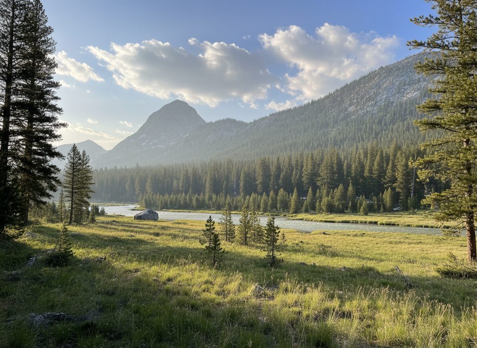
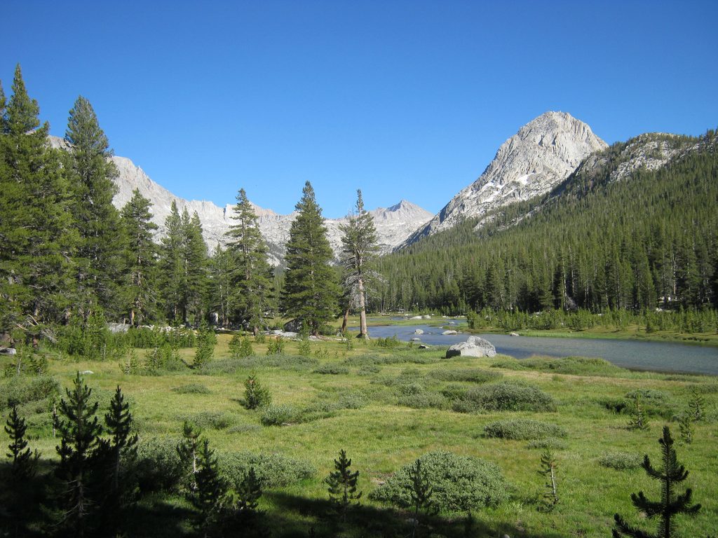
A tiny, seasonal wilderness ranger cabin tucked along Evolution Creek, McClure Meadow Ranger Station is more of an outpost than a destination. It sits at the edge of one of the Sierra’s most photogenic subalpine meadows—granite walls, a meandering creek, and skyline peaks—right along the John Muir Trail/PCT. Expect ranger patrols and informal visitor contact when staffed, but no public services.
This is a backpack-in location only. Common approaches link to the JMT/PCT:
All options are strenuous, high-elevation, multi-day trips with wilderness permits required.
Typical backpacking season runs July–September, depending on snowpack. Early summer melt can swell Evolution Creek—crossings near McClure Meadow may be cold, swift, and unsafe at times. Time crossings for lower flows, scout alternatives, and turn back if conditions look sketchy. Expect afternoon thunderstorms, chilly nights, and the potential for early snow on the shoulders of the season.
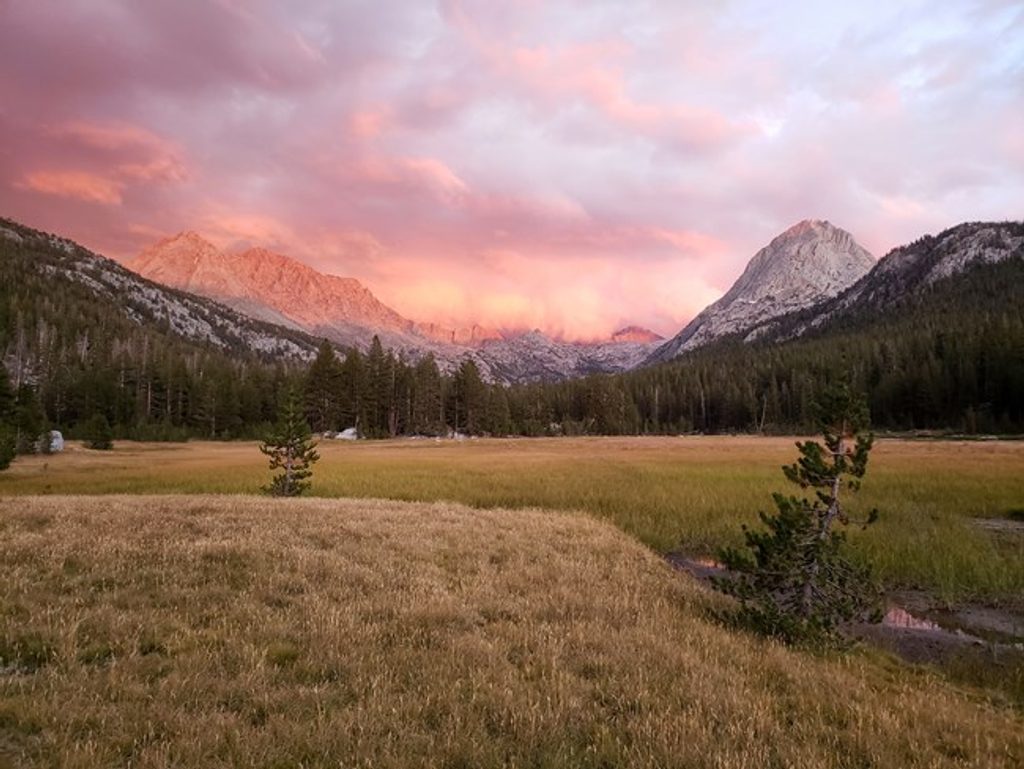
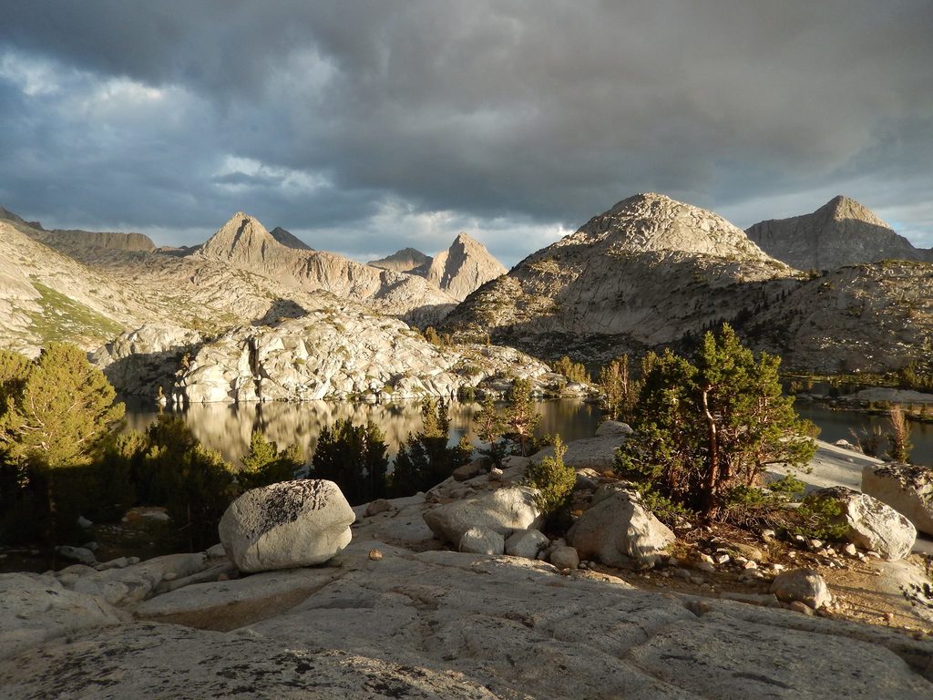
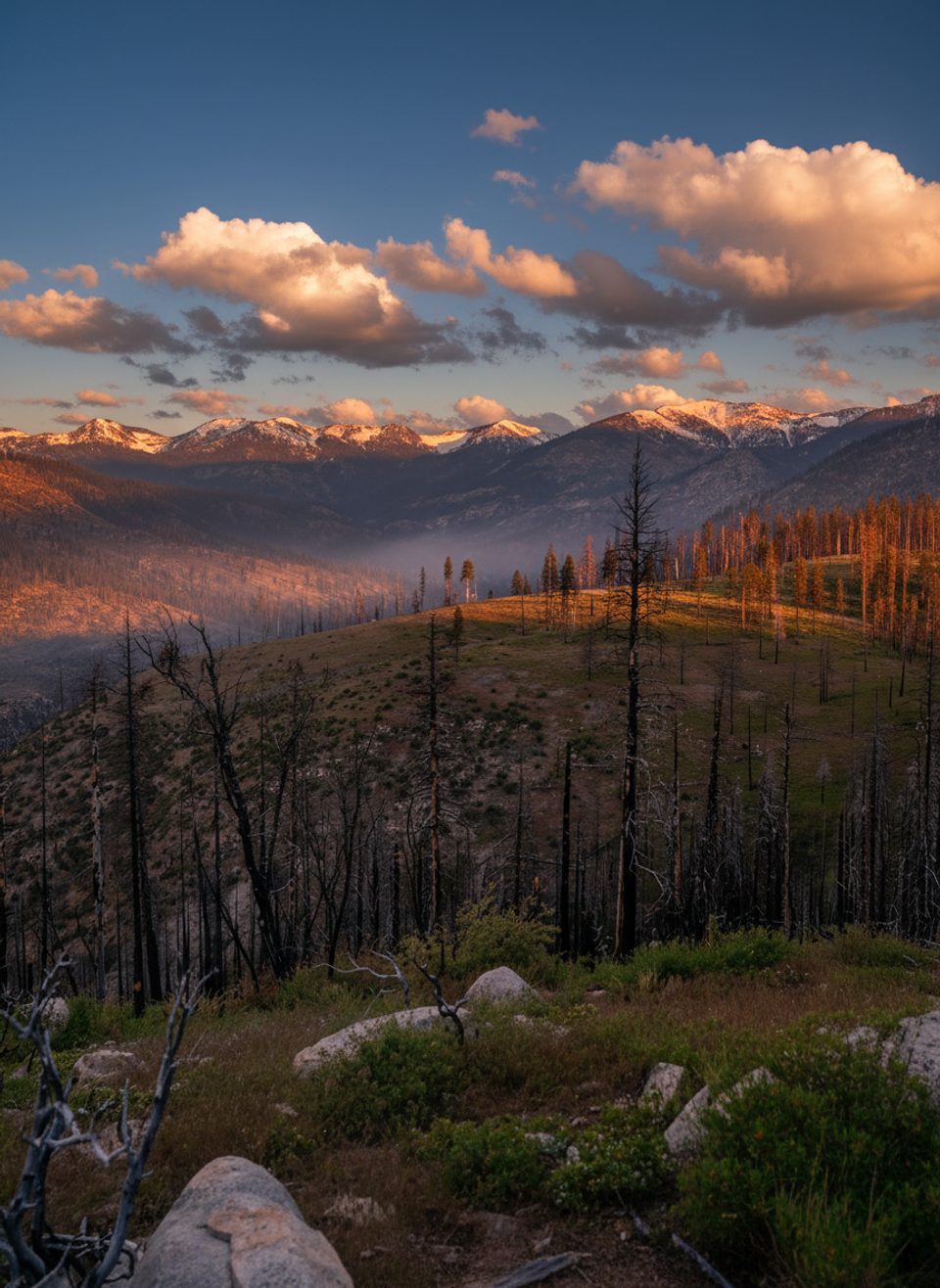
The setting is textbook glacial Sierra: a broad U-shaped valley with sinuous water, flowered margins, and austere granite all around. It’s a natural pause point on a long itinerary—quiet, gorgeous, and a little bit hypnotic when the light grazes the meadow.
You may see mule deer browsing the meadow edges, marmots and chipmunks working the rocks, and the occasional black bear. Treat or filter all water, store food properly, and keep distance from wildlife. The riparian and alpine habitats are sensitive—travel and camp on durable surfaces to minimize impact.
Overnights require a wilderness permit issued by the agency for your entry trailhead. Camp at least 100 feet from water and trail, use existing durable sites, and follow Leave No Trace. The ranger cabin is not for public use, and you should not plan on any facilities here.
Dawn and dusk are magic: low-angle light rakes the meadow’s curves and lights up the creek’s meanders. Seek calm pools for mirror reflections, chase mid–late summer wildflowers, and consider a moonless night for Milky Way shots if skies are clear.
July to early September offers the most reliable access. For fewer encounters with through-hikers, aim for weekdays. For photos, be on location at sunrise or the golden hour before sunset; late-season (after peak melt) usually means safer creek crossings and more relaxed travel.
Place · 0.2 mi away
Place · 0.2 mi away
Place · 2.1 mi away
Place · 3 mi away
Challenging · 9.8 mi away
Challenging · 26.6 mi away
Challenging · 27.6 mi away
Challenging · 27.6 mi away

Parkwolf Tour Guide
