Parking
The paved South Lake lot is at the end of South Lake Road; the trail starts at its south end near the restrooms. The main lot can fill on summer mornings, with smaller lots farther down the road.

Kings Canyon National Park, CA
Climb past alpine lakes to a bare, 11,972-foot Sierra crest.
Overview
Bishop Pass Trail is an 11.1-mile out-and-back from South Lake to the 11,972-foot Sierra crest and back. The path climbs through a chain of alpine lake basins—Long, Saddlerock, and Bishop—before switchbacking over granite to a broad saddle at Kings Canyon’s eastern edge. Allow about six to six and a half hours. The pass sits roughly 2,200 feet above the trailhead; altitude, steady climbing, and a rough final ascent make this a hard day even though the trail is maintained.
 Parkwolf’s verdictIs this the hike for you?
Map & elevation
Plan your hike

The highest, rockiest slopes around here are a summer buffet for grizzly bears.
Kings Canyon Tour Guide
Parkwolf is a GPS audio tour guide for Kings Canyon National Park. As you drive, it chimes in with what’s ahead: hidden gems, upcoming stops, history, geology, and wildlife, right through your car’s speakers.
See the Kings Canyon audio tour“…The kids and my husband and I all agree that the narration really added to our experience driving through the parks. We learned so much about the history and the flora & fauna.”


Trail guide
From the south end of South Lake’s parking area, the trail drops briefly, then climbs along the lake’s east side. Hurd, Thompson, and Goode rise around the basin. The route curls through aspen and lodgepole before the Treasure Lakes junction, crosses a small bridge, and passes branches for Marie Louise Lakes and Bull and Chocolate Lakes. Stay on the Bishop Pass path at these junctions; the Chocolate Lakes loop leaves and rejoins it, adding a different circuit.
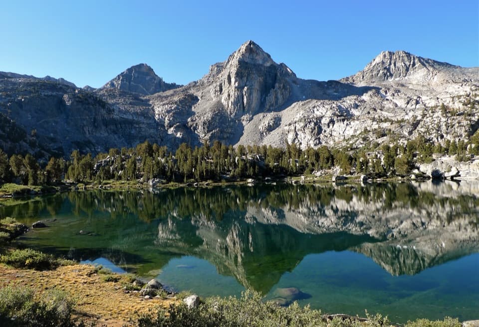
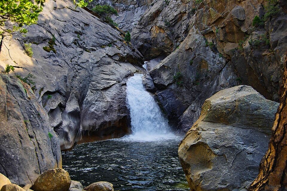
Long Lake’s north end is about two miles from the start. The grade eases across a meadow and tarn, then the path follows the lake’s eastern shore with the Inconsolable Range and Chocolate Lake in view. It climbs a rocky hillside above Spearhead Lake and switchbacks to Timberline Tarns. A waterfall sits beside the trail before Saddlerock Lake, tucked beneath Mount Goode among short whitebark pines. Cross the lake outlet on a footbridge and continue to Bishop Lake, about 4.1 miles from South Lake.
Past Bishop Lake, rock-hop the outlet and climb above its eastern shore. The steep final ascent crosses boulders and slabs attributed to a 2008 rockslide before easing onto the broad, bare saddle at Bishop Pass. The pass is 11,972 feet high; look southwest toward the Black Divide above Le Conte Canyon and east to Mount Agassiz. The maintained trail continues down into Dusy Basin and toward Le Conte Canyon, but that through-route is a separate trip. For the pass-focused hike, turn around at the crest.
There’s little shade on the upper climb. Snow can linger into late spring and hide the tread near the pass, so check current reports before setting out. Treat water taken from creeks and lakes. Day hikers don’t need a wilderness permit; overnight trips do, year-round. Dogs may use the Inyo National Forest approach under forest rules, but must turn back at Bishop Pass rather than continue onto Kings Canyon’s trails.
Start at the south end of the paved South Lake parking area, beside the restrooms. The main lot can fill on summer mornings; smaller lots lie farther down South Lake Road. If 11 miles is too much, Long Lake makes a 4-mile round-trip outing with about 938 feet of gain. Bishop Lake is a longer 8.2-mile round trip with about 1,420 feet of gain, stopping before the pass’s final climb.
Wildlife
 227 sightingsBlack BearMost seen around 7 PMSighting map
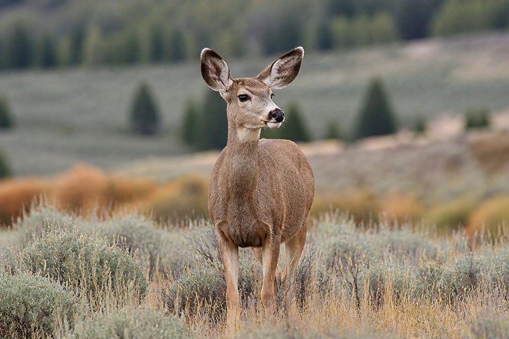 385 sightingsMule DeerMost seen around 7 PMSighting map
 188 sightingsMarmotMost seen around 8 AMSighting map
 118 sightingsPikaMost seen around 7 AMSighting map
 14 sightingsGolden TroutMost seen around 7 PMSighting map
 32 sightingsRainbow TroutMost seen around 7 PMSighting map
Sighting maps show where each species has been reported across Kings Canyon. Wildlife moves, so no sighting is guaranteed.
Keep exploring
 ChallengingDusy Basin via Bishop Pass14.9 mi · 9.5 hr · At the trailheadAlpine lakes, steep granite switchbacks, and a high Sierra basin.
 ChallengingNorth Lake–South Lake Loop53.9 mi · 5 days · 5.3 mi awayA high Sierra traverse over Piute, Muir, and Bishop passes.
 ChallengingPiute Pass Trail16.5 mi · 12 hr · 5.3 mi awayA high pass leads into a long Piute Creek backcountry crossing.
 ChallengingGoddard Canyon Trail8.9 mi · 8 hr · 12.9 mi awayA faint High Sierra path links a remote pass to the JMT.
 ChallengingUpper Middle Fork Kings Trail7.9 mi · 6.5 hr · 13.9 mi awayA remote river corridor for a demanding Sierra backpack.
Parkwolf’s Kings Canyon ranking
The audio tour guide for the drive, plus offline maps, trails, and wildlife heatmaps for when the signal drops.