
Place · 10.3 mi away
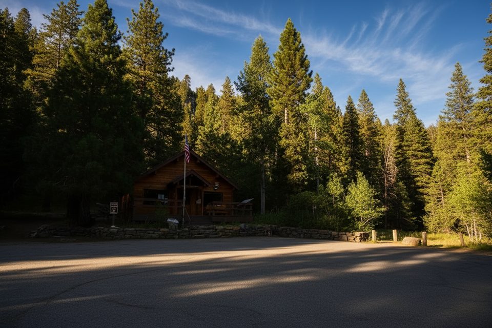
Mineral King Ranger Station is the low-key, high-value hub at the end of the Mineral King road, sitting around 7,600 feet. It’s your launchpad for the area’s subalpine trails and quiet campgrounds—think superb Sierra scenery without the big-crowd vibe. The catch: getting here means a slow, winding climb that isn’t for the impatient.
Inside you’ll find rangers with up-to-the-minute trail conditions, exhibits on the area’s natural and human history, plus books and maps. This is also where you secure wilderness permits and pick up bear canisters/food storage canisters—essential if you’re backpacking in Mineral King. Staff can brief you on current marmot activity and parking strategies; reports note that car tarps may be available first-come, first-served.
The Mineral King road is notoriously long, narrow, and steep. Plan at least an hour for the final stretch and take it slow. The station operates seasonally (spring through fall), and shoulder seasons can bring freezing temperatures and even snow—pack layers and be flexible with plans.
Don’t expect amenities right at the station: no restrooms or potable water are listed. Vault toilets are available at the area’s small, first-come campgrounds—Cold Springs and Atwell Mill—and at trailheads. For a creature-comfort pit stop, Silver City Mountain Resort along the road has limited store/food, clean toilets, and warm showers for a fee. There’s no gas and no ice in the area, so arrive self-sufficient.
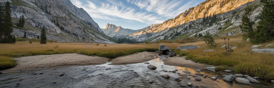
Mineral King is a hiker’s basecamp. Popular day routes include Monarch Lakes, Timber Gap, and Eagle/Mosquito Lakes. Monarch’s west-facing slope bakes later in the day—start early. Backpackers come for big granite, alpine lakes, and real solitude, but the elevation and grades make it a choose-your-own-challenge zone. Carry water treatment; don’t assume stream or lake water is safe. Pets aren’t allowed on park trails.
Marmots are notorious here for chewing hoses and wiring on parked cars, especially for overnight trips. If you’re leaving a vehicle, wrap the undercarriage with a tarp and heed ranger advice on current hotspots and best practices.
Aim for mornings when the station opens so you can grab permits, talk conditions, and hit the trail before heat and afternoon storms. Midweek is calmer. Given the seasonal operation, the sweet spot is summer into early fall when snow is least likely and trails are fully open.
Place · 10.3 mi away
Place · 10.6 mi away
Place · 11.9 mi away
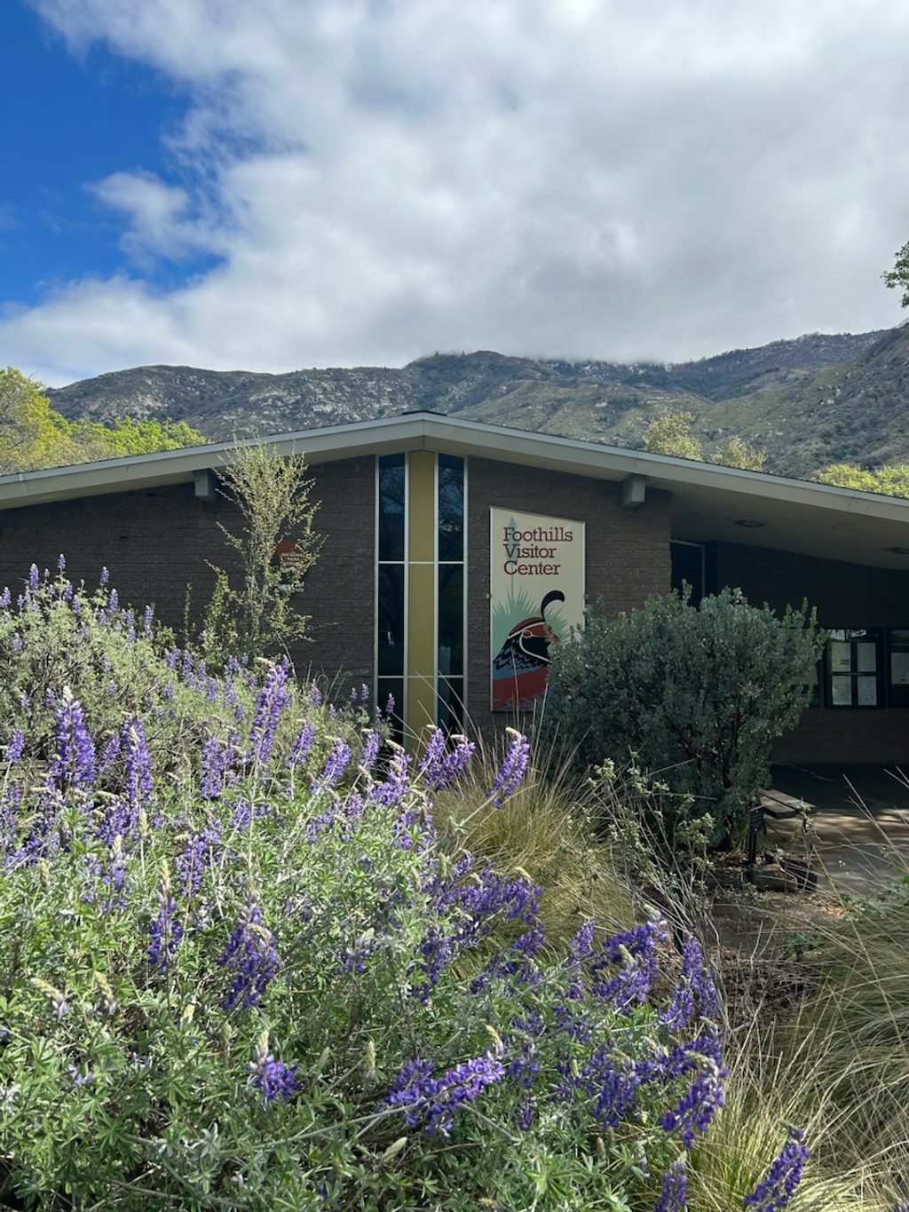
Place · 12.2 mi away
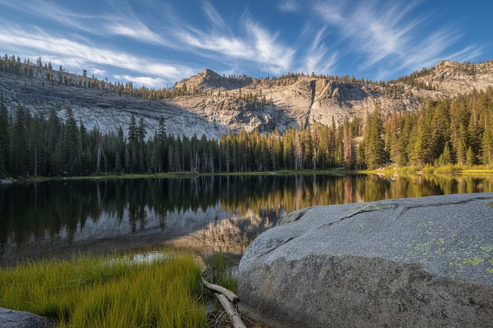
Moderate · 20.6 mi away
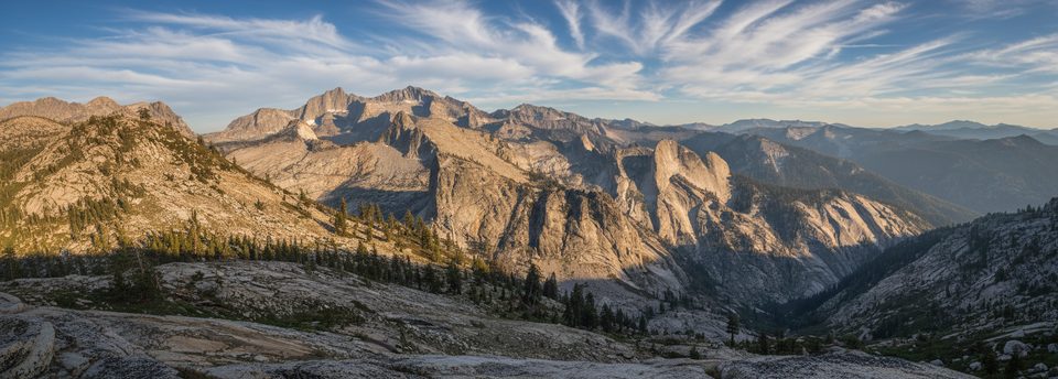
Challenging · 20.6 mi away
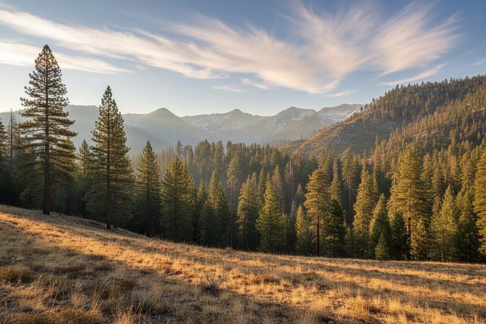
Challenging · 20.6 mi away

Moderate · 21.1 mi away

Parkwolf Tour Guide
