
Place · 2.4 mi away
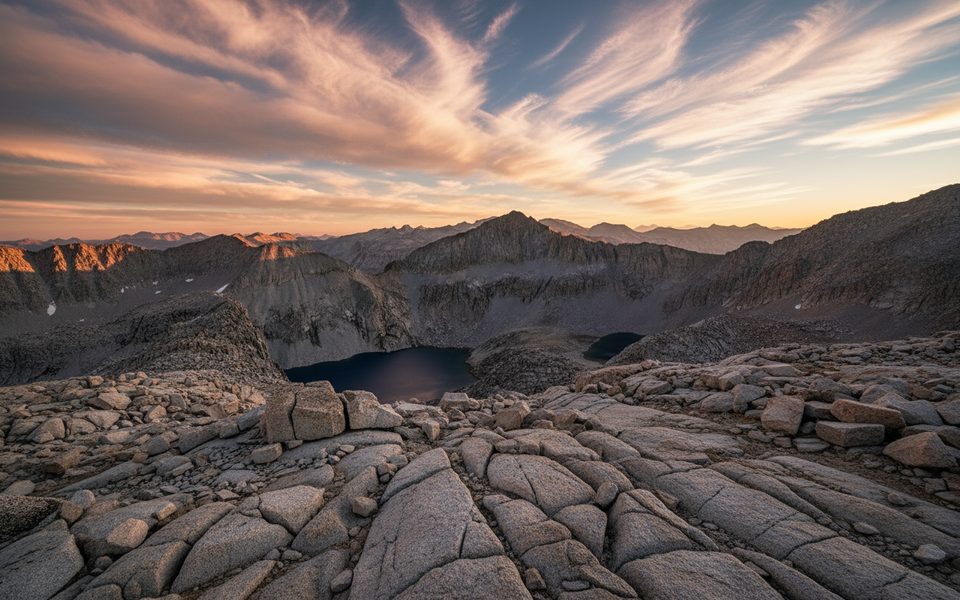
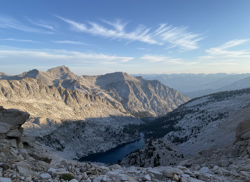
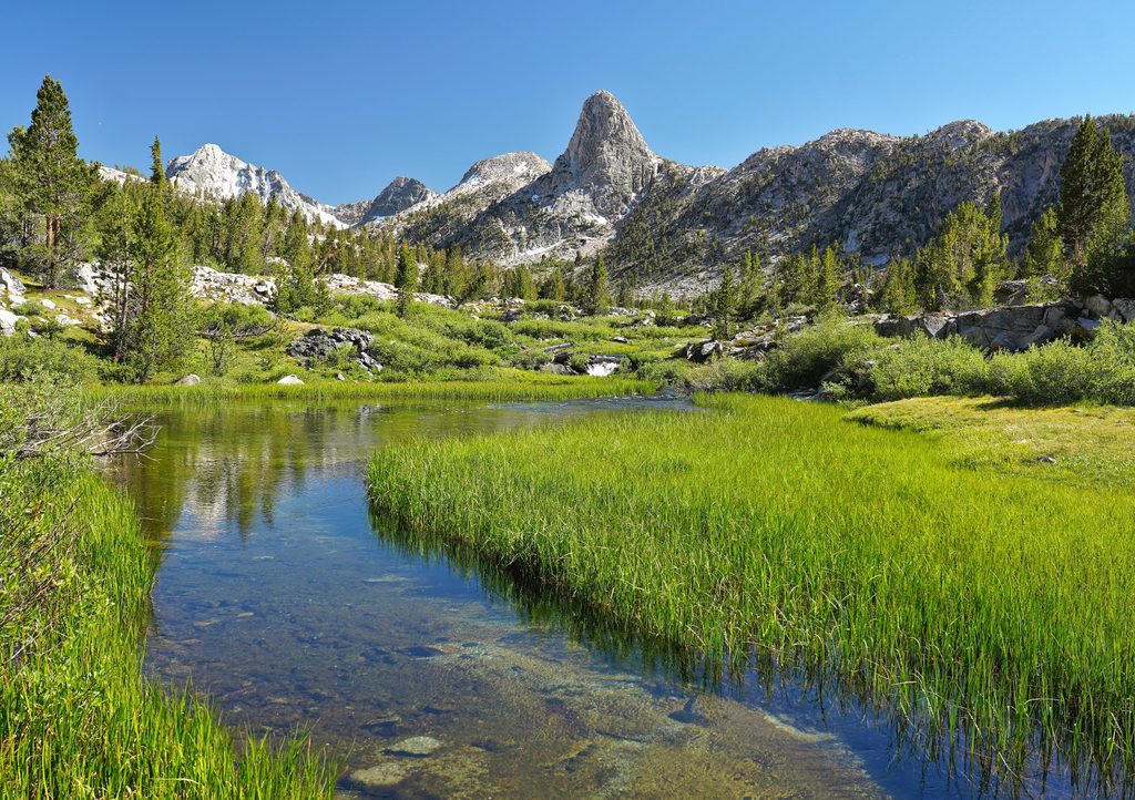
Triple Divide Peak (12,636 ft) straddles the boundary of Sequoia and Kings Canyon on the Great Western Divide and lives up to its name: it’s the hydrologic splitter for the Kern, Kaweah, and Kings River drainages. It’s remote, wild, and best suited to strong backpackers who like a bit of hands-on scrambling.
Beyond the satisfying summit scramble, the mountain’s triple-watershed geology is the headline. From the top, the panorama takes in some of the Sierra’s heaviest hitters—on clear days you can pick out Whitney, Tyndall, Williamson, and Goddard. It’s a classic “earn-your-views” peak.
Most parties start on the High Sierra Trail (HST) from the Crescent Meadow side, hiking to Tamarack Lake for a comfortable base camp. A common plan is 2.5–3 days: roughly 15 miles the first day to Tamarack, summit on day two, and hike out on day three. An alternate, longer approach from the Kings Canyon side begins at Road’s End, up Copper Creek into Cloud Canyon.
From Tamarack Lake, the favored line climbs past cliff weaknesses toward Lion Lake, then up to Lion Lake Pass. The west ridge of Triple Divide offers the best mix of fun and efficiency: you can keep it mostly Class 2 by skirting on the north side, or stick closer to the crest for enjoyable, but airier, Class 3 moves. There are also Class 2 options (East Ridge or Southwest Face) noted by experienced parties.
Tamarack Lake is the nearest established camp and makes an excellent base, with easy water access. Along the HST approach, Bearpaw’s ranger station area is a practical place to refill. Above Lion Lake, shade is scarce, so start early and manage water carefully.
Overnights require a SEKI wilderness permit. Bear-resistant food storage is required, and standard Leave No Trace rules apply: pack out all trash and toilet paper, and bury human waste well away from water and trails.
Expect variable scree and blocky talus near Lion Lake Pass and along the west ridge. Rockfall is a real concern—helmets are smart, especially if traveling with a group. Route-finding matters: the cliff bands above Tamarack Lake, the grassy benches en route to Lion Lake, and the ridge itself all reward careful line choice. Altitude and relentless sun above treeline add to the day’s effort.
Black bears are commonly seen along the HST corridor. Keep a clean camp and store all food and scented items in a canister.
This is a backcountry objective with no set hours. Plan an alpine start from Tamarack Lake for cooler temperatures and firmer focus on the ridge, and budget a full day for the summit from camp.
Place · 2.4 mi away
Place · 2.6 mi away
Place · 2.6 mi away
Place · 6.3 mi away
Easy · 14 mi away
Challenging · 14.2 mi away
Challenging · 14.2 mi away
Challenging · 14.2 mi away

Parkwolf Tour Guide
