
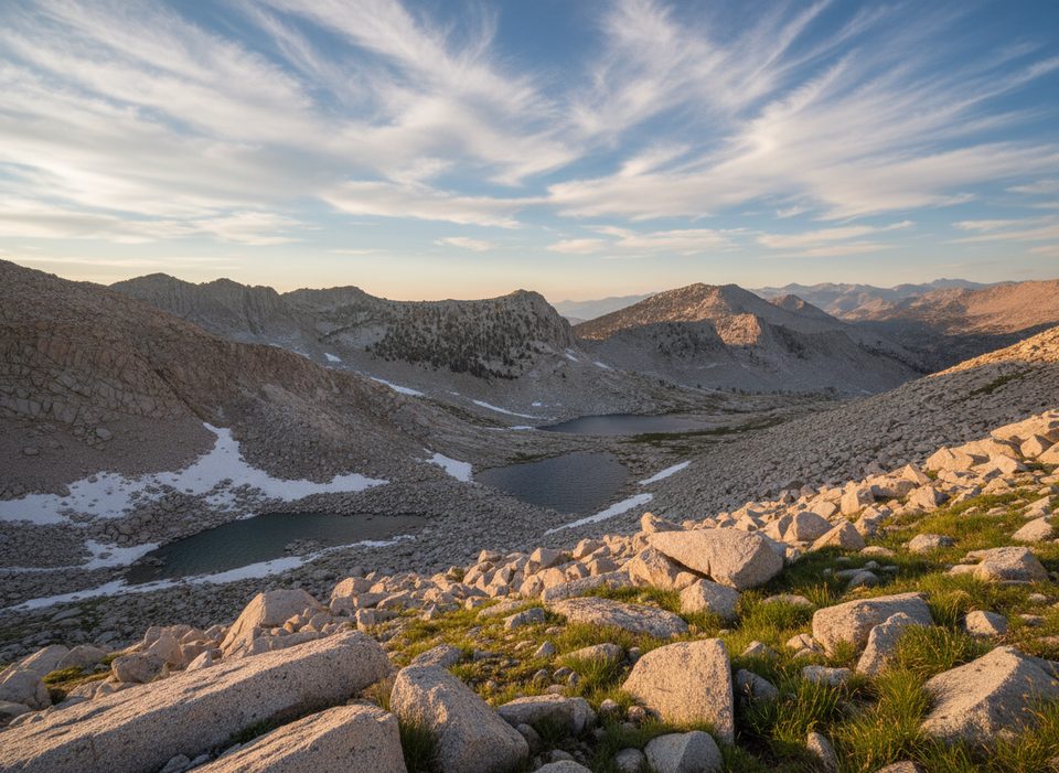
Place · 2.2 mi away
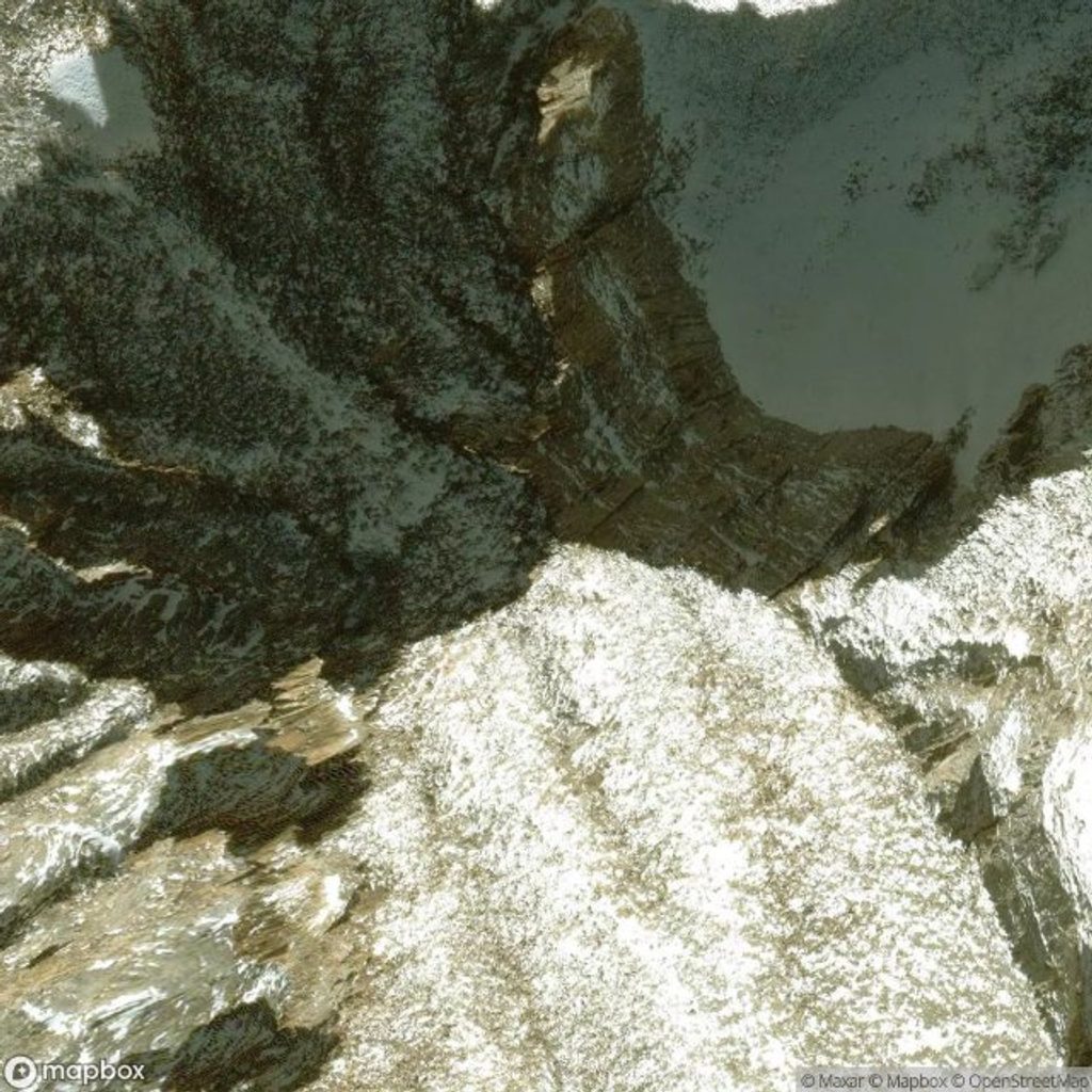
Mount Brewer rises to about 13,576 feet on the Great Western Divide, a proud, granitic skyline that splits the Kings, Kaweah, and Kern watersheds. It’s considered an emblem peak—big, beautiful, and unmistakable. Expect huge horizons from the summit and remarkably few people once you leave the main trails. The mountain is named for William H. Brewer (California Geological Survey, 1860s), and early parties used this vantage to scope the high Sierra.
There are two classic ways to approach Brewer, both serious:
Key route notes: lower Ouzel Creek has seen heavy blowdown, forcing time-consuming detours; beyond the ridge notch, some boulders shift underfoot—move deliberately. The true summit block sits near the middle of the broad top and involves short class 3 moves.
Best window is generally July through September. Early summer can hold consolidated snow on passes (including a cornice at Longley Pass with class 3 workarounds) and lingering snowfields near South Guard Lake. Late summer brings more stable, snow-free travel but looser talus. Weather turns quickly—bluebird mornings can flip to wind and thunderstorms—so build margins into your plan.
Overnight wilderness permits are required for both approaches, and a bear canister is mandatory for food storage. Onion Valley has an overnight quota; you’ll cross into the national park and must follow park wilderness regulations. Dogs are not allowed west of Kearsarge Pass (inside the park). Road access to Cedar Grove/Road’s End typically closes in winter; confirm seasonal status before committing. If entering from the west, standard park entrance fees apply.
This is bear country. Black bears are common along the Bubbs Creek and East Lake corridors. Higher up, look for marmots and high-elevation birdlife such as grouse. Store food properly, keep packs close at stops, and expect curious critters in popular camping basins.
Road’s End usually offers large paved parking for day and overnight wilderness users, bear lockers, and restrooms. Cell service is spotty to none in Cedar Grove. Do not rely on finding potable water at the trailhead—fill in the Cedar Grove area or carry what you need.
Place · 2.2 mi away
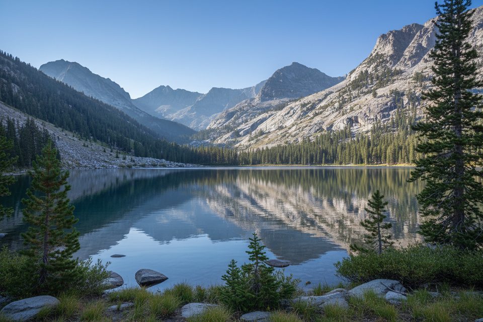
Place · 2.3 mi away
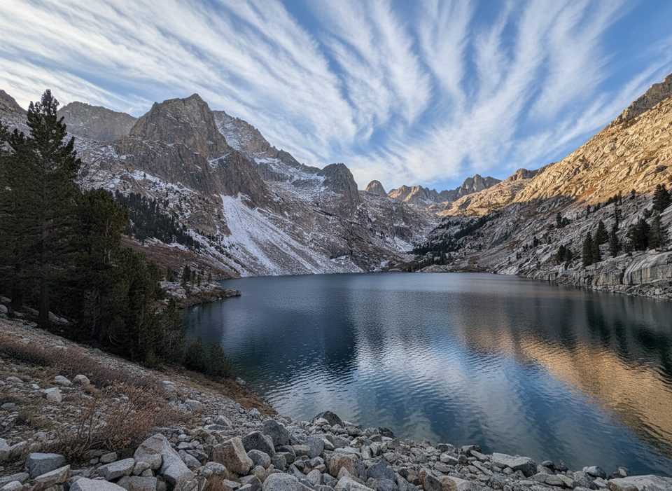
Place · 2.6 mi away
Place · 3.9 mi away
Challenging · 8 mi away
Challenging · 8 mi away
Challenging · 8 mi away
Challenging · 8 mi away

Parkwolf Tour Guide
