
Place · 0.6 mi away
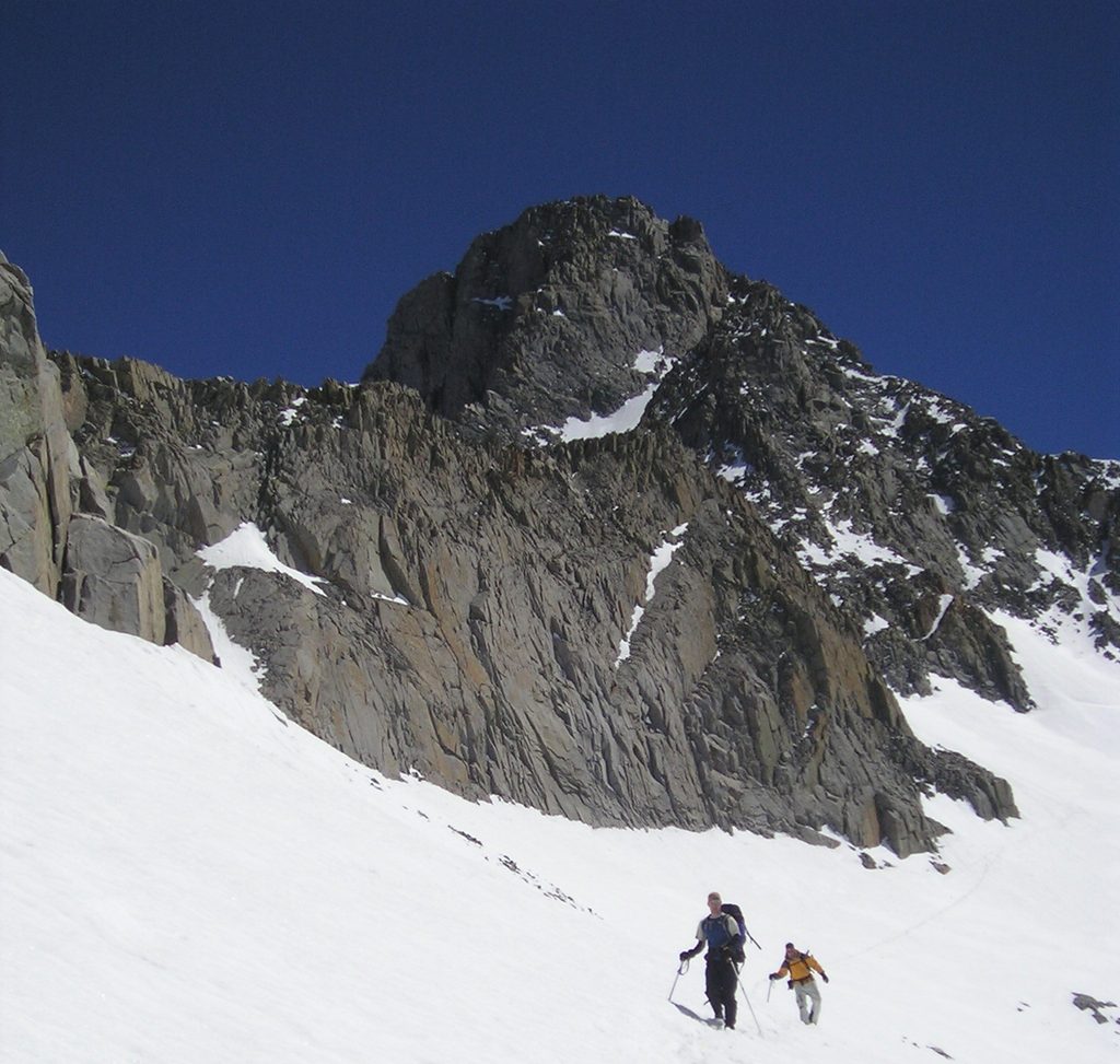
Mount Sill is a lofty Palisades summit on the Sierra crest, straddling the boundary between Inyo National Forest and the park. At a little over 14,150 feet and known to the Paiute as "guardian of the valley," it’s a serious alpine objective with big views and crisp granite. The easiest lines are still semi‑technical, with sustained Class 3–4 scrambling near the top.
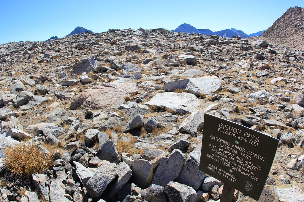
Most parties start at Bishop Pass Trailhead, hike to Bishop Pass, then leave the trail for a cross‑country traverse above the lakes of upper Dusy Basin to Thunderbolt Pass. From there, you drop to the basin below and climb to Potluck Pass. Continue northeast up loose scree and ramps into Sill’s upper cirque, then pick a Class 3–4 chute to the summit. Expect talus, shifting scree, and tricky route‑finding, especially near the top.
This is real alpine terrain: loose rock, exposed moves, and complex navigation between passes. Parties comfortable on Class 4 may find multiple options to the summit, but drifting into the wrong branch of a chute can force a rappel. Early or late‑season conditions can add verglas or steep, hard snow; a steep, exposed glacier nearby can further raise the seriousness. Helmets are a smart default; some teams carry a short rope for confidence moves.
If you’re backpacking in, overnight permits are required for the entry trailhead (commonly managed by Inyo National Forest for Bishop Pass). Campfires are generally prohibited along this route. Store food properly to deter bears and practice Leave No Trace—this is fragile, high‑use alpine terrain.
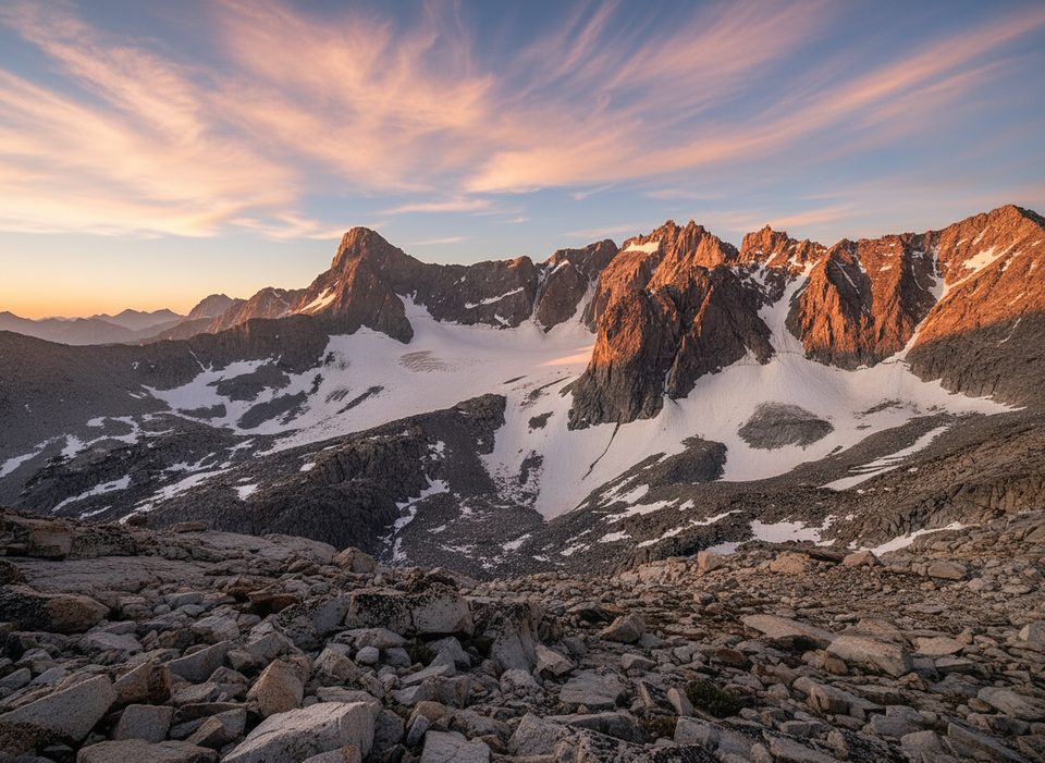
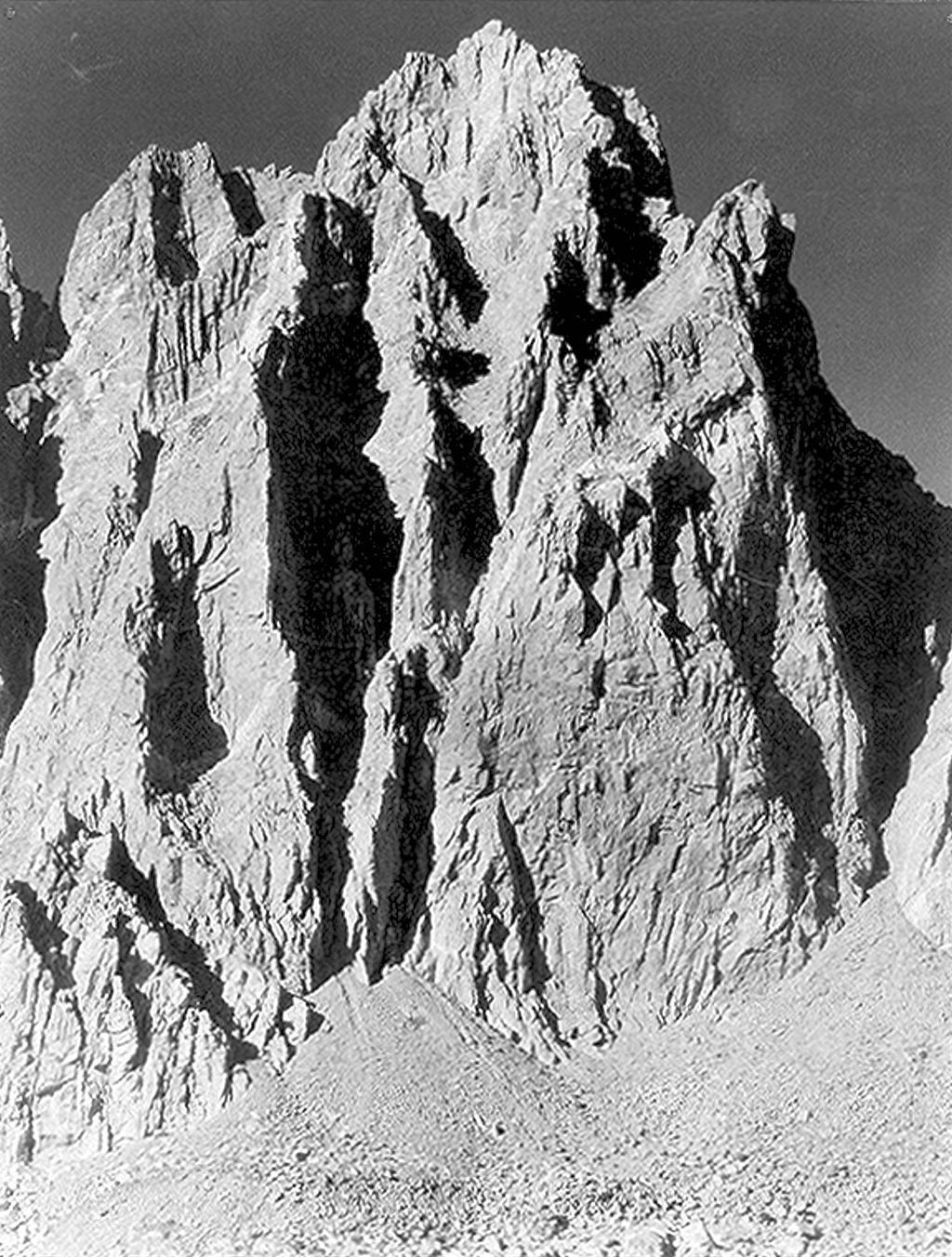
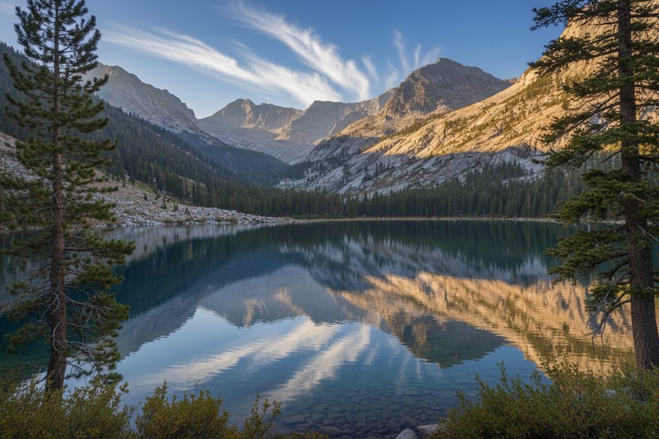
The Palisades are famed for their rugged cirques, knife‑edge ridges, and lingering ice—hallmarks of heavy glaciation on hard Sierra granite. Sill’s position on the crest delivers sweeping, big‑mountain views and puts you within striking distance of other storied summits in the group.
Plan around afternoon thunderstorms and rapidly changing alpine weather. Early and late season often bring lingering snow and ice; pick stable conditions, start pre‑dawn, and build a generous time buffer for the cross‑country legs between Thunderbolt and Potluck Pass.
Strong hikers and climbers seeking a classic Sierra 14er with real route‑finding, loose talus, and airy Class 3–4 moves. It’s demanding, committing, and memorable—better for experienced alpine travelers than casual day‑hikers.
Place · 0.6 mi away
Place · 1.4 mi away
Place · 2.7 mi away
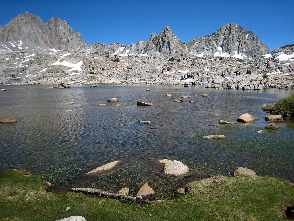
Place · 3.1 mi away
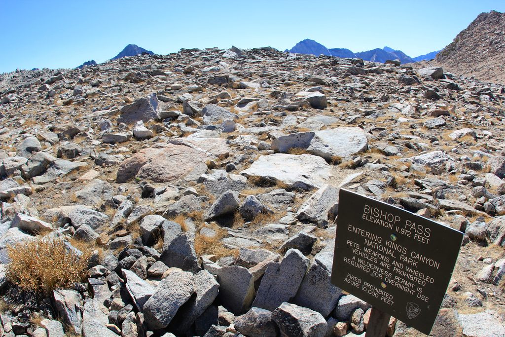
Challenging · 6.2 mi away
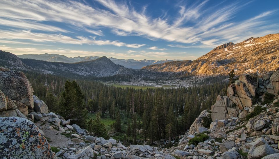
Challenging · 21.1 mi away
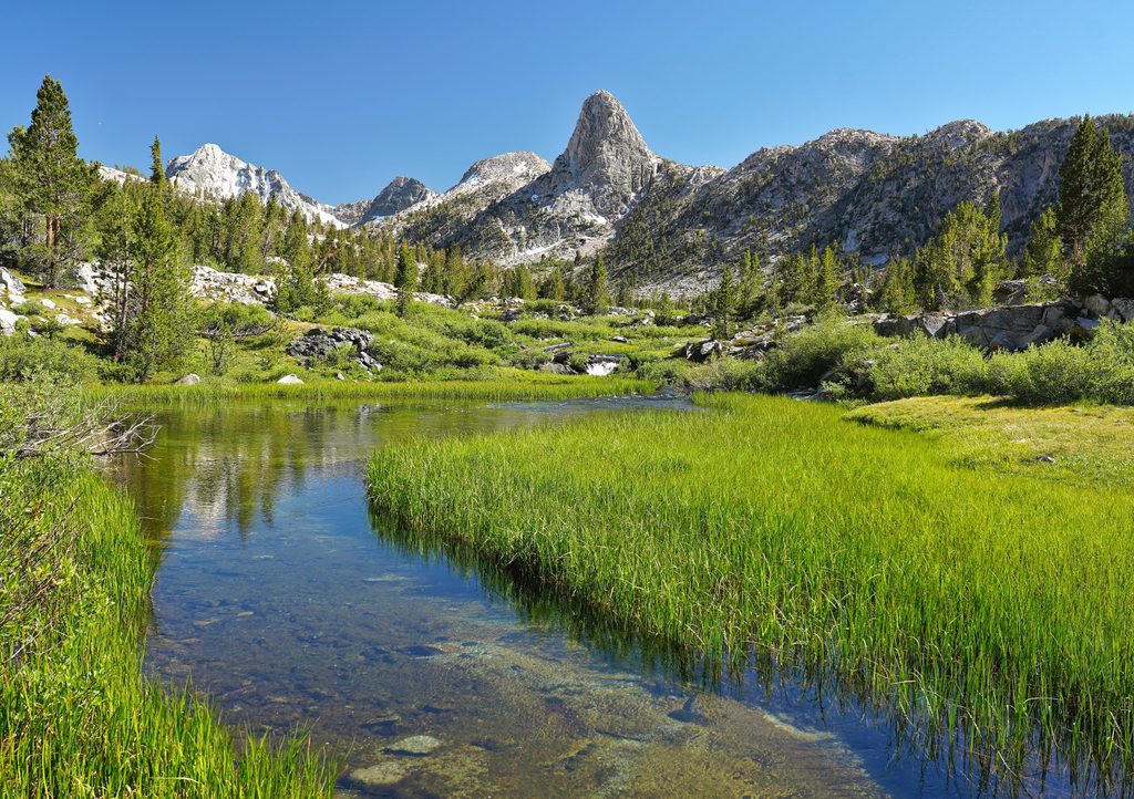
Challenging · 21.2 mi away
Challenging · 21.2 mi away

Parkwolf Tour Guide
