Pros & cons
PROS
- Highest summit in the park with sweeping Sierra views
- Multiple classic alpine routes, from the SW Gully to the U-Notch
CONS
- No easy route; minimum Class 4 with real exposure
- Long, complex approaches with possible snow/ice most of the season
Overview
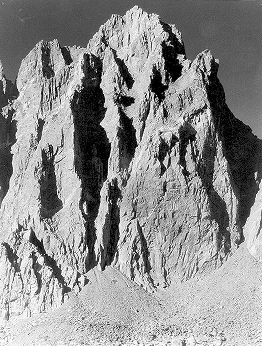
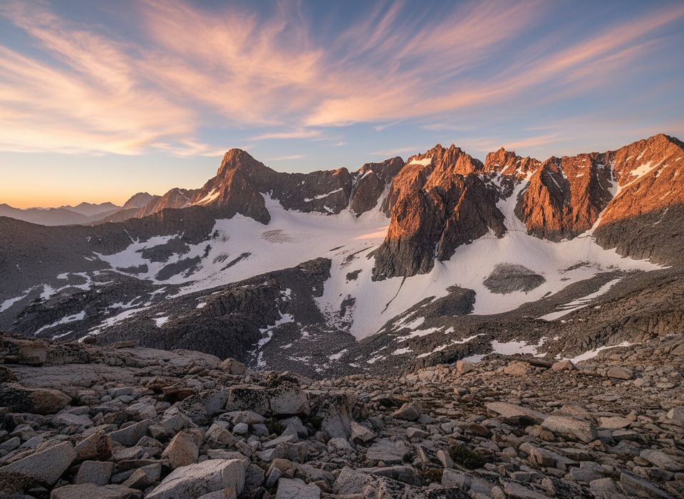
North Palisade is the high point of the park and one of California’s great granite summits, rising above steep, glaciated terrain on the Sierra Crest. It’s an alpine objective first and foremost—there’s no casual walk-up here. Expect real exposure, complex route-finding, and a big, committing day (or two) in serious mountain country.
Classic Ways Up
- Southwest Gully (standard): Typically a late-summer Class 4 scramble; many teams still carry a rope and often use it for the descent.
- U-Notch Couloir (east side): A celebrated line from the Palisade Glacier combining steep snow/ice with upper rock pitches; the Clyde variation is a sought-after finish.
- Summit finishes: Options include an exposed Class 4 line from the east (when snowy) or a short 5.5 chimney on the northwest side.
Approaches
- East side: From the Glacier Lodge area, hike the North Fork of Big Pine Creek to the Palisade Glacier for U-Notch and neighboring routes.
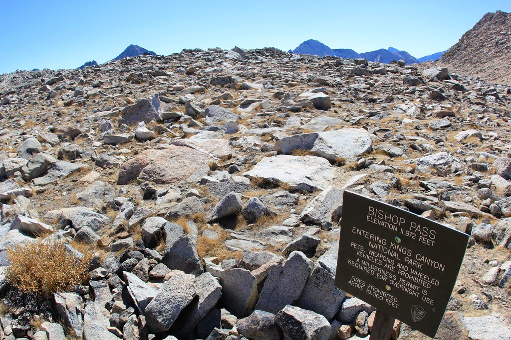
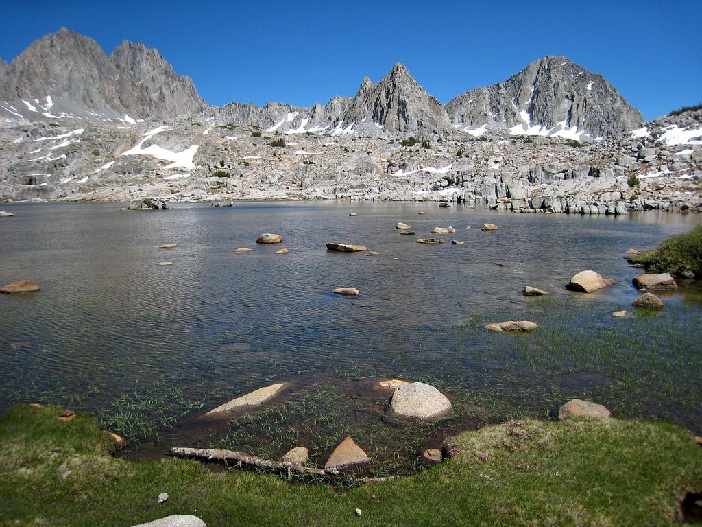
- West/south side: From South Lake, take the Bishop Pass Trail to Dusy Basin, then go cross-country over Thunderbolt or Knapsack Pass into Palisade Basin for the SW/Class 4 routes. Past Bishop Pass, expect trackless boulder fields and careful navigation. A typical push into Palisade Basin clocks roughly 16.5 miles with about 5,400 feet of gain.
Recent reports note bathrooms at the South Lake parking area, but don’t assume running water—plan on vault toilets and bring your own water treatment. Dogs are not allowed on these routes.
Traverses and Neighboring Peaks
North Palisade anchors the Palisades cluster alongside Thunderbolt, Starlight, Polemonium, and Mount Sill. Linking summits is possible but serious; the Starlight-to-North Palisade section is notably complex, with towers, exposed Class 4, and intricate route-finding.
Permits, Season, and Camping
Overnight trips require wilderness permits year-round, with entry quotas roughly May through November; reserve in advance with the managing forest. The practical season runs May–October, with most parties aiming for mid/late summer into early fall depending on snow and ice.
What to Expect (and Bring)
- Technical movement: Even the easiest route has sustained Class 4 with real exposure.
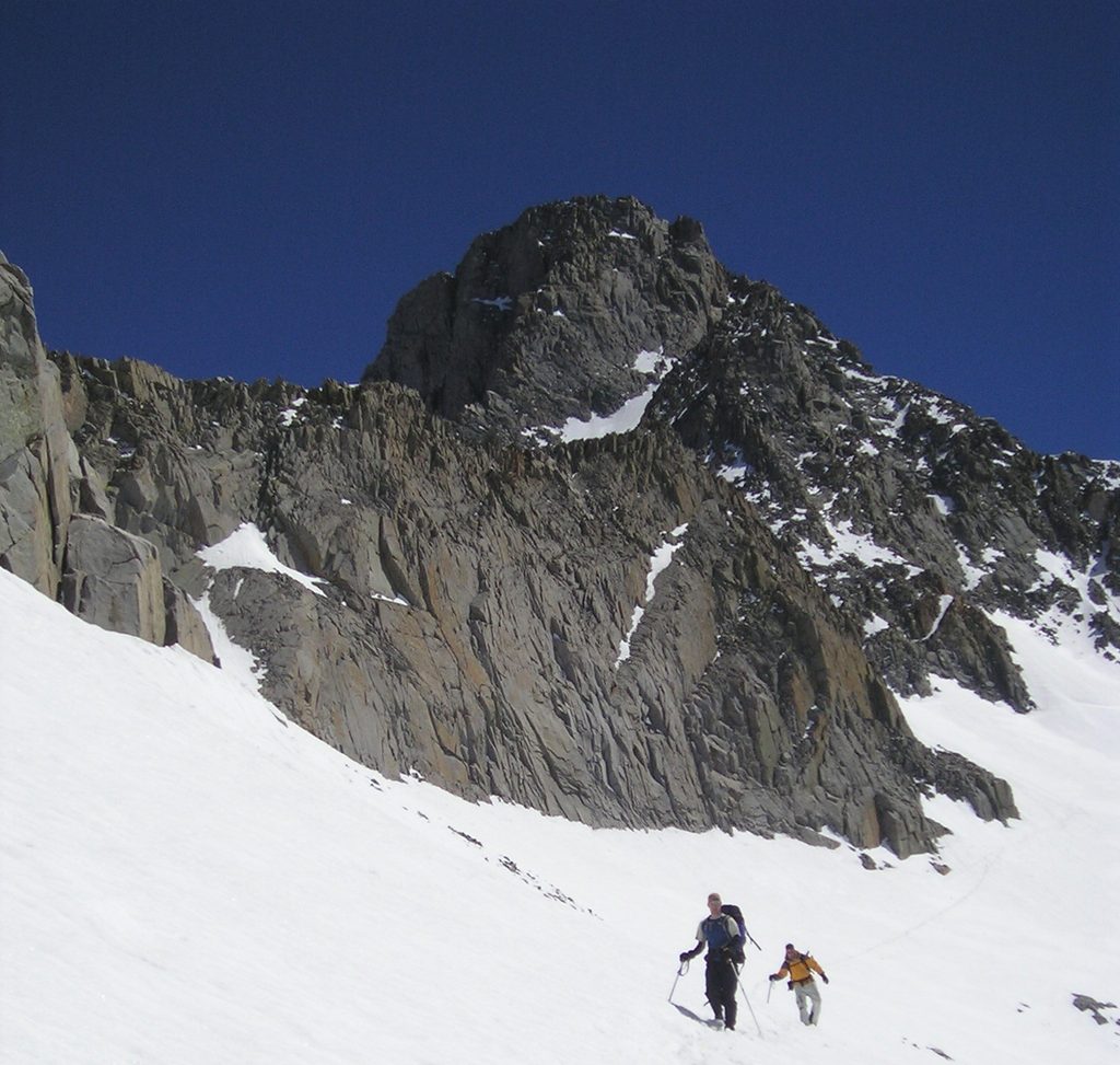
- Snow/ice: Lingering snow in gullies is common; crampons, mountaineering boots, and sometimes microspikes are useful. Rock shoes are handy for cruxy steps and the summit finish on some lines.
- Descent: The SW Chute is a common way down and can involve a rappel and careful down-climbing; route-finding is crucial in the upper boulder zones.
- Fitness: Big elevation, boulder-hopping, and long days—budget your energy and set firm turnaround times. For current conditions, contact the local ranger district; guided ascents are available for those wanting instruction or a margin of safety.
Wildlife and Environment
Mosquitoes can be fierce near parking and lower basins in season. Practice Leave No Trace—this alpine zone is rugged and fragile.
Best Time to Visit
For climbing, July through October typically offers the most reasonable combination of access and conditions, with mid/late summer into early fall being the sweet spot in many years. Start early for the long approach and to give yourself options on the descent. Weekdays see fewer parties on popular lines.
Where it is
37.0942, -118.5145Tips for North Palisade
- 01Pick your approach: east via North Fork Big Pine or west via Bishop Pass into Palisade Basin.
- 02Even the standard SW Gully is exposed Class 4; many parties use a rope for the descent.
- 03Plan for snow and ice well into summer; bring crampons and route-appropriate gear.
- 04Overnight trips need a wilderness permit; quotas apply roughly May–November.
- 05Dogs are not allowed on these routes.
Near North Palisade
All places →All trails →
0.6 mi awayMount SillA serious Sierra 14er with classic class 3–4 alpine scramblingScenic Viewpoint
0.9 mi awayMount WinchellRemote Palisades summit with a classic class 3 east arête
2.2 mi awayBishop PassBroad alpine pass with big views into Dusy BasinScenic Viewpoint
2.5 mi awayDusy BasinHigh-alpine lake basin beyond Bishop Pass with big granite views
5.9 mi awayBishop Pass TrailGranite benches, alpine lakes, and a big pass into Dusy BasinChallenging · 11.1 mi · 5.7 hr
20.9 mi awayCopper Creek TrailSteep climb to quiet Granite Basin and big Kings Canyon viewsChallenging · 27.3 mi · 16 hr
21 mi awayWoods Creek TrailGranite canyon to the JMT’s swaying Woods Creek suspension bridgeChallenging · 28.8 mi · 12.8 hr
21 mi awayLake Reflection TrailLong push to a mirror still alpine cirque above East Creek.Challenging · 32 mi · 20 hr