
Place · 0.9 mi away
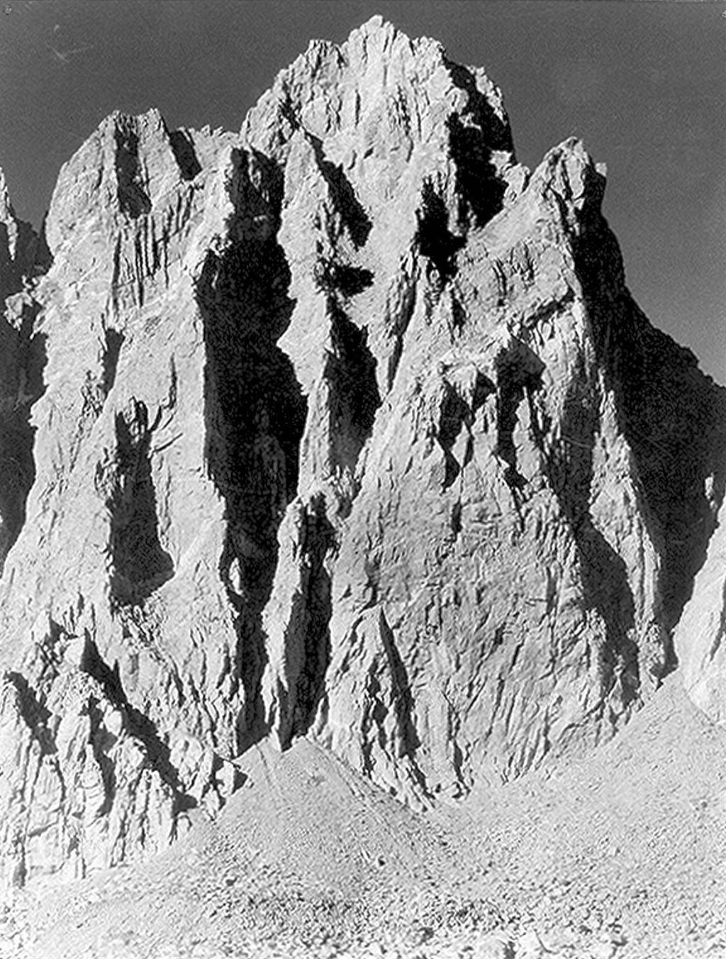
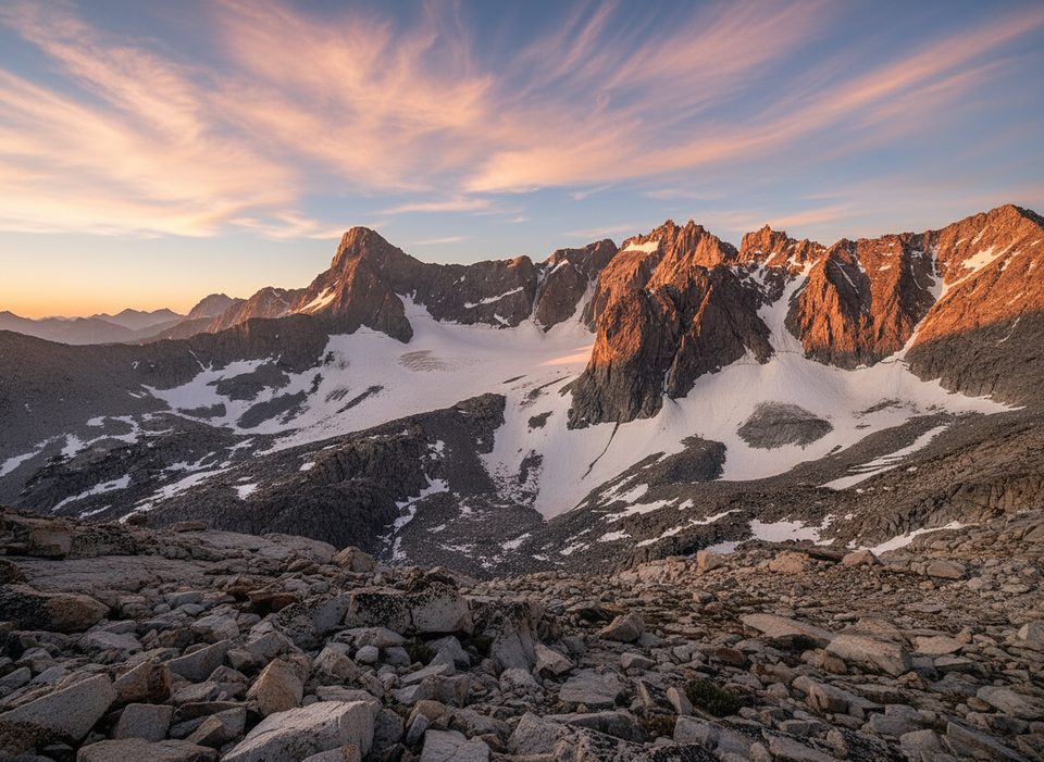
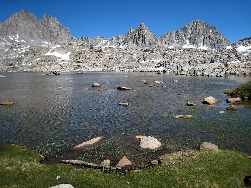
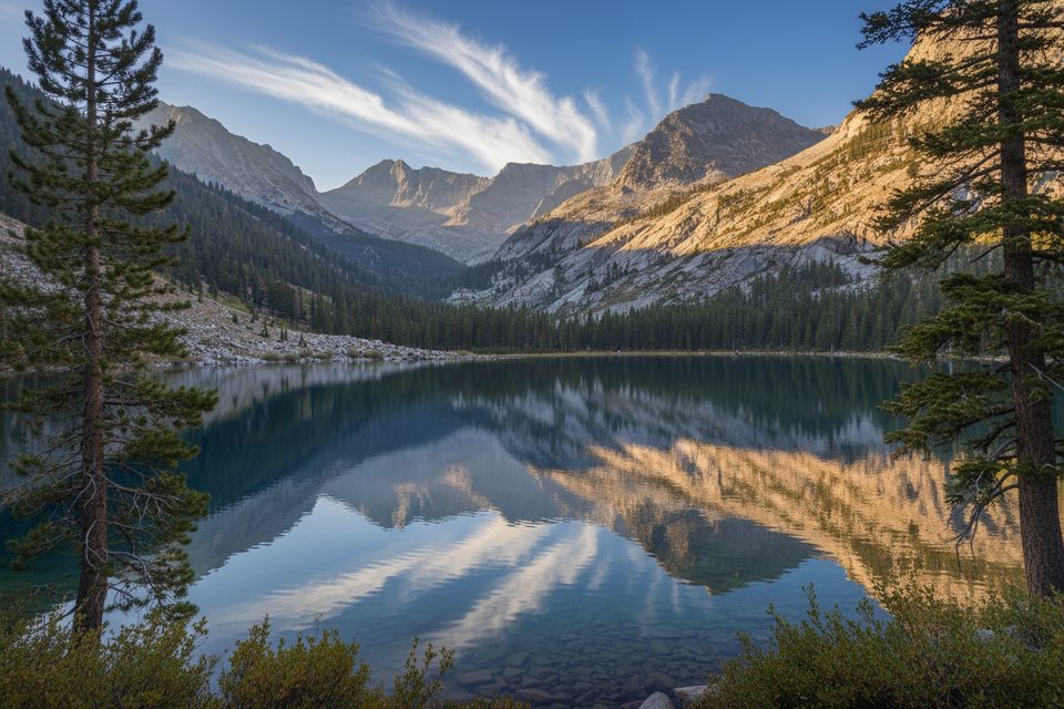
Rising to about 13,780 feet on the Palisades crest, Mount Winchell straddles the divide between east-side Big Pine Creek and west-side Dusy/Palisade basins. Its west slopes lie inside the park, with rugged granite ridges and glacially carved cirques that feel properly wild. Expect blocky Sierra granite, arêtes, and miles of talus sculpted by Ice Age glaciers and ongoing alpine weathering.
Strong parties often stage at Glacier Camp (east side) or make multi-day pushes from the west via Dusy/Palisade basins. Very fit teams sometimes tag the East Arete in a big day from the Big Pine trailhead.
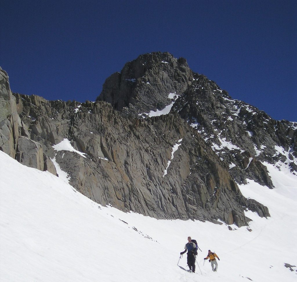
The main season runs summer into fall. Early in the season, snow and verglas can guard ledges and approaches; an ice axe and crampons may be essential. Regardless of route, start early to avoid fast-building afternoon thunderstorms and to give yourself a generous turnaround time.
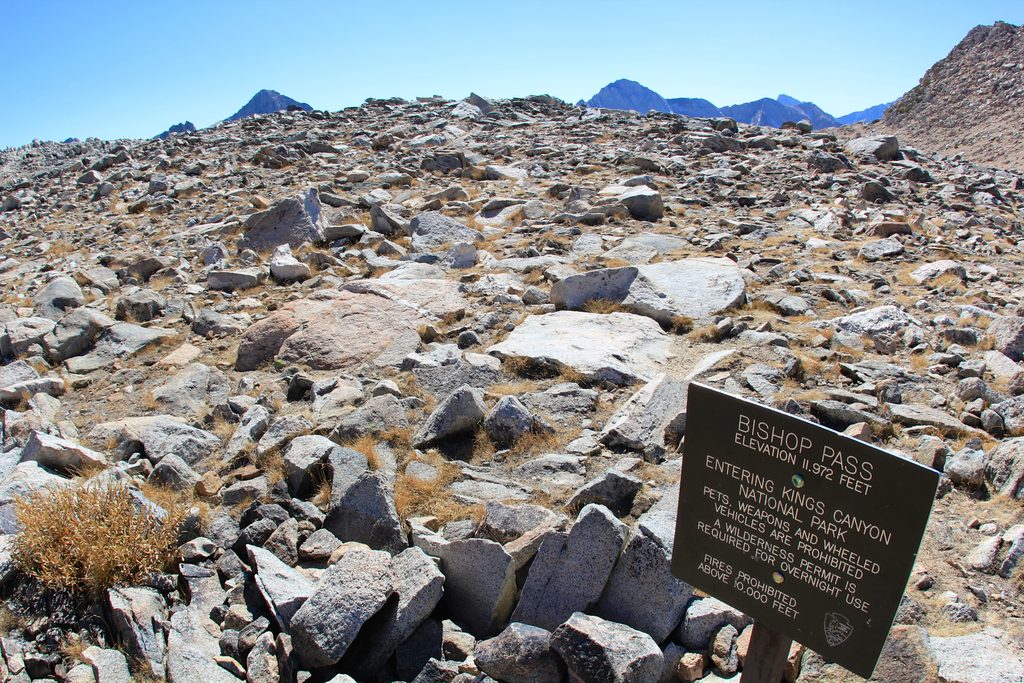
Overnight trips require wilderness permits: use Inyo National Forest permits if entering from the east, and Sequoia–Kings permits if entering from the west. Day use typically doesn’t require a permit (east-side Whitney-area rules are a special case not applicable here). Quotas, pickup rules, and fire or food-storage requirements can change—verify details with the relevant agency before you go. Camping spots commonly used include Sam Mack Meadow and high, primitive sites on moraines; west-side trips typically camp in Dusy/Palisade basins.
Services are limited across this region. Expect very limited cell coverage; download offline maps and carry spare power. There’s no gas in the park, so fill up before you head in, and don’t count on lodge Wi‑Fi.
Black bears are common around popular basins—use proper food storage and carry a bear canister where required/recommended. Marmots and pikas haunt the talus, and you may hear Clark’s nutcrackers in subalpine trees. Sierra Nevada bighorn sheep are occasionally seen in the Palisades—give them space.
Helmets are a must due to loose rock and potential rockfall from other parties. Bring sturdy footwear for talus, trekking poles for load carrying, and navigation you trust (topo plus GPS/phone with offline maps). In shoulder seasons, add axe/crampons; some teams carry a short rope and light rock kit for exposed steps or if snow forces a spicier line.
July–October is the sweet spot in typical snow years. Aim for pre-dawn starts for firm travel, calmer weather, and dramatic first light on the Palisades. Crowds are rarely an issue here compared to nearby higher summits, but early starts still pay off for both safety and solitude.
Place · 0.9 mi away
Place · 1.3 mi away
Place · 1.4 mi away
Place · 1.9 mi away
Challenging · 5.1 mi away
Challenging · 21.4 mi away
Challenging · 21.6 mi away
Challenging · 21.6 mi away

Parkwolf Tour Guide
