
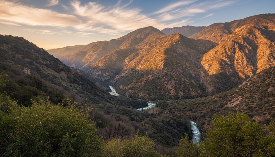
Place · 0.4 mi away
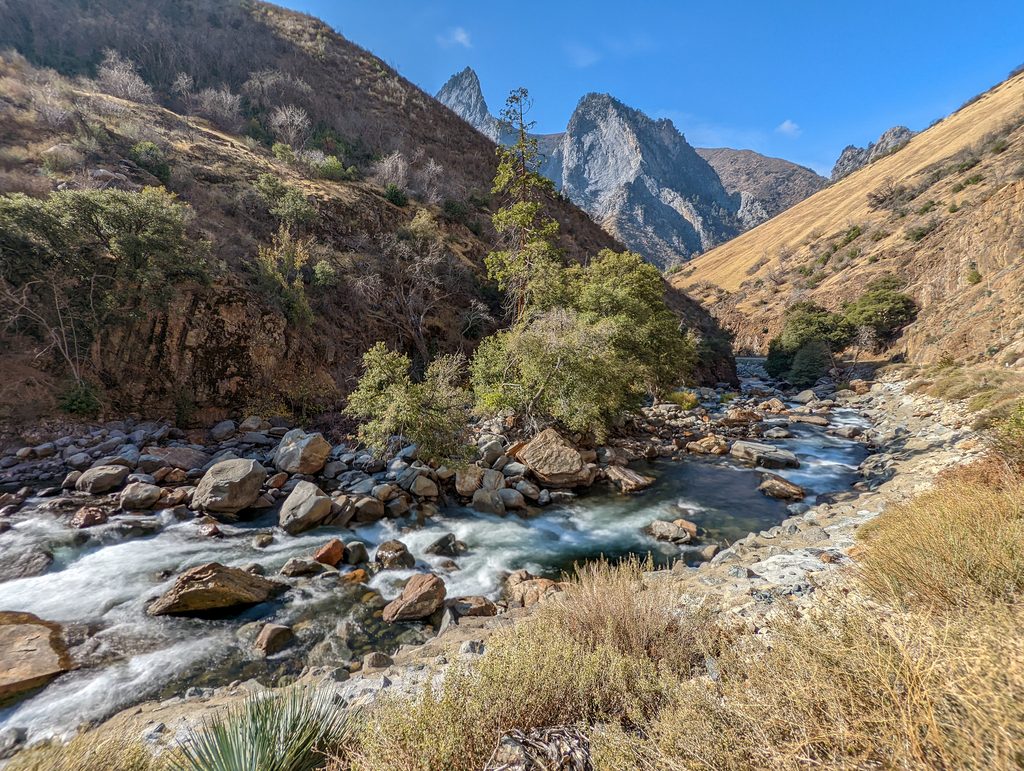
The South Fork Kings River is the backbone of the canyon—an icy, fast Sierra stream carving one of North America’s great granite valleys. Glaciers and relentless erosion sculpted the U‑shaped canyon, sheer walls, hanging valleys, domes, and waterfalls you see today. Much of the river is protected under the Wild & Scenic Rivers Act, keeping its corridor rugged, undeveloped, and wonderfully scenic.
Anglers prize the South Fork for trout, especially in its upper, wilder reaches with pocket water, pools, and cascades. Expect wild rainbows (and some browns lower in the system). Access can be rugged—some spots require a steep 3–4 mile hike. Regulations vary along the river system; some sections are catch-and-release with artificial barbless requirements, and a California fishing license is mandatory.
In its lower reaches, the river is known for serious whitewater. This is not tubing or canoe territory; flows are powerful and technical, and casual floating isn’t recommended.
Spring and early summer snowmelt makes the river extremely fast and bitterly cold—don’t wade or rock‑hop near high flows. Start hikes early for cooler temps and to dodge typical afternoon build-ups at higher elevations. Cedar Grove access is seasonal; always confirm road status before committing to the drive.
Cedar Grove is your services hub along the South Fork. The visitor center area offers restrooms and water, and seasonal conveniences like a small market and snack bar operate nearby. Picnic areas are scattered through the canyon, and developed campgrounds (seasonal) sit close to the river corridor. Many pullouts and trailheads provide quick river access and photo stops.
Late spring through early fall, when the Cedar Grove road is open. Early mornings are the sweet spot for cooler temps and quieter trails. Peak runoff brings dramatic, roaring water but limits safe shoreline lingering; late summer to early fall is better for relaxed riverside time and fishing.
Place · 0.4 mi away
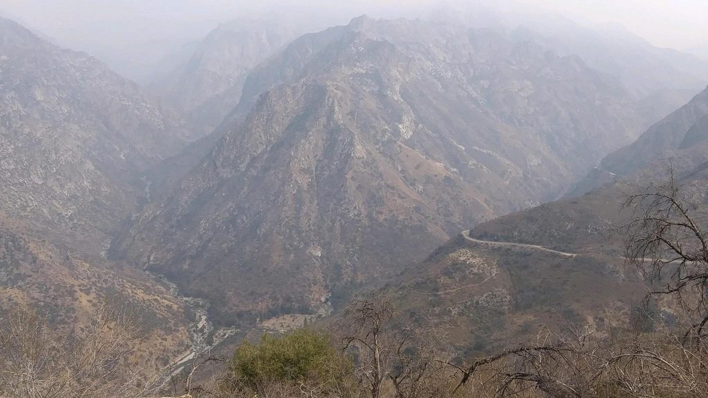
Place · 0.9 mi away
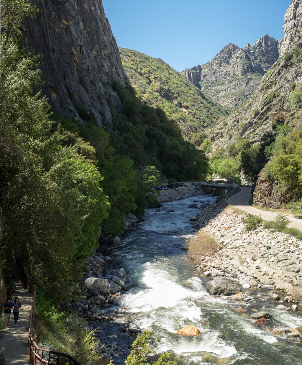
Place · 3.4 mi away
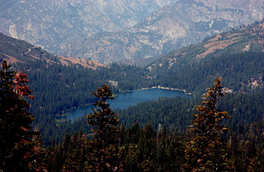
Place · 6.9 mi away
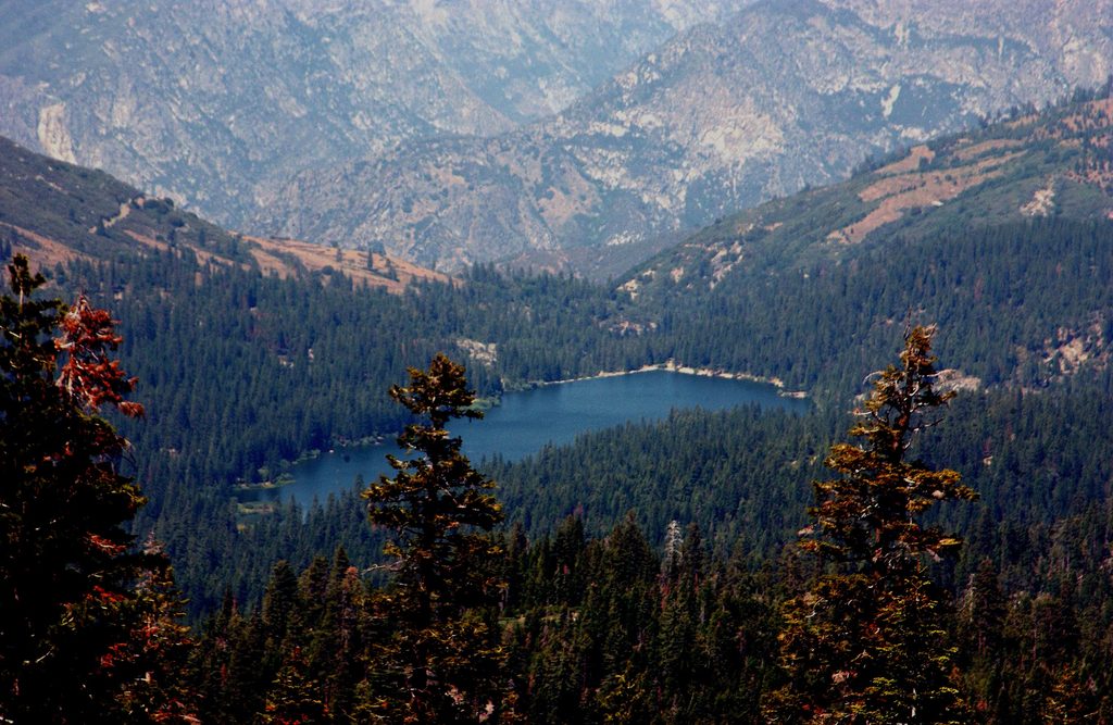
Easy · 6.9 mi away
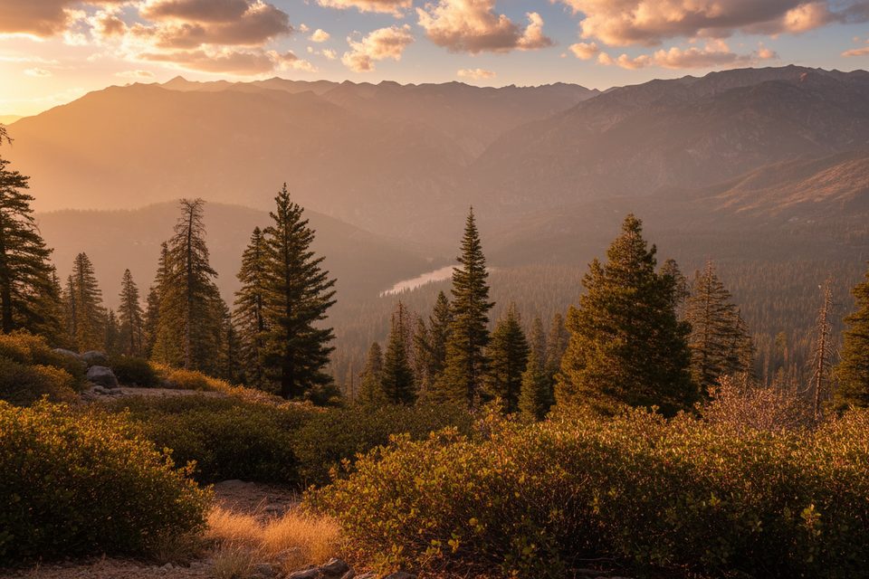
Moderate · 6.9 mi away
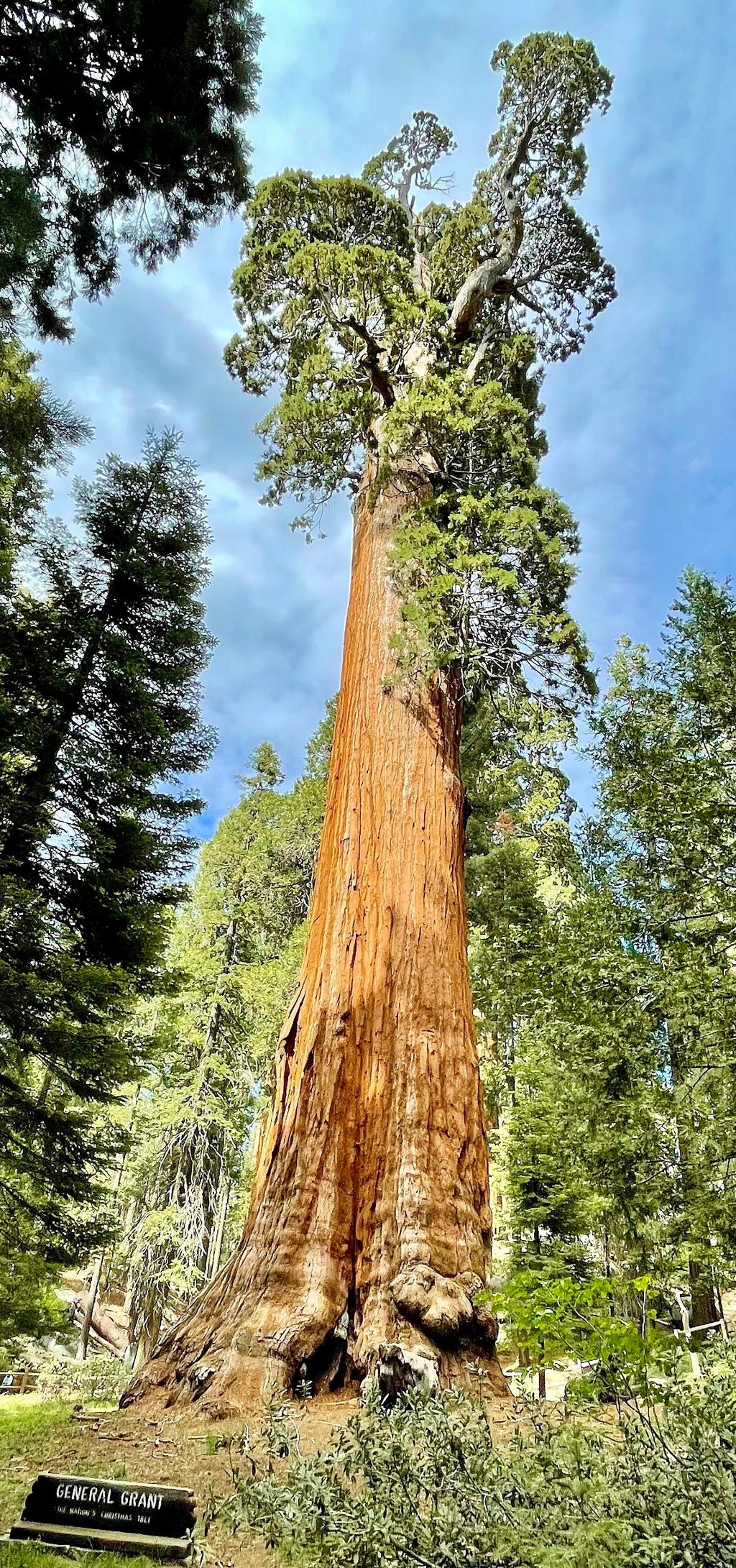
Easy · 8.4 mi away
Easy · 8.4 mi away

Parkwolf Tour Guide
