
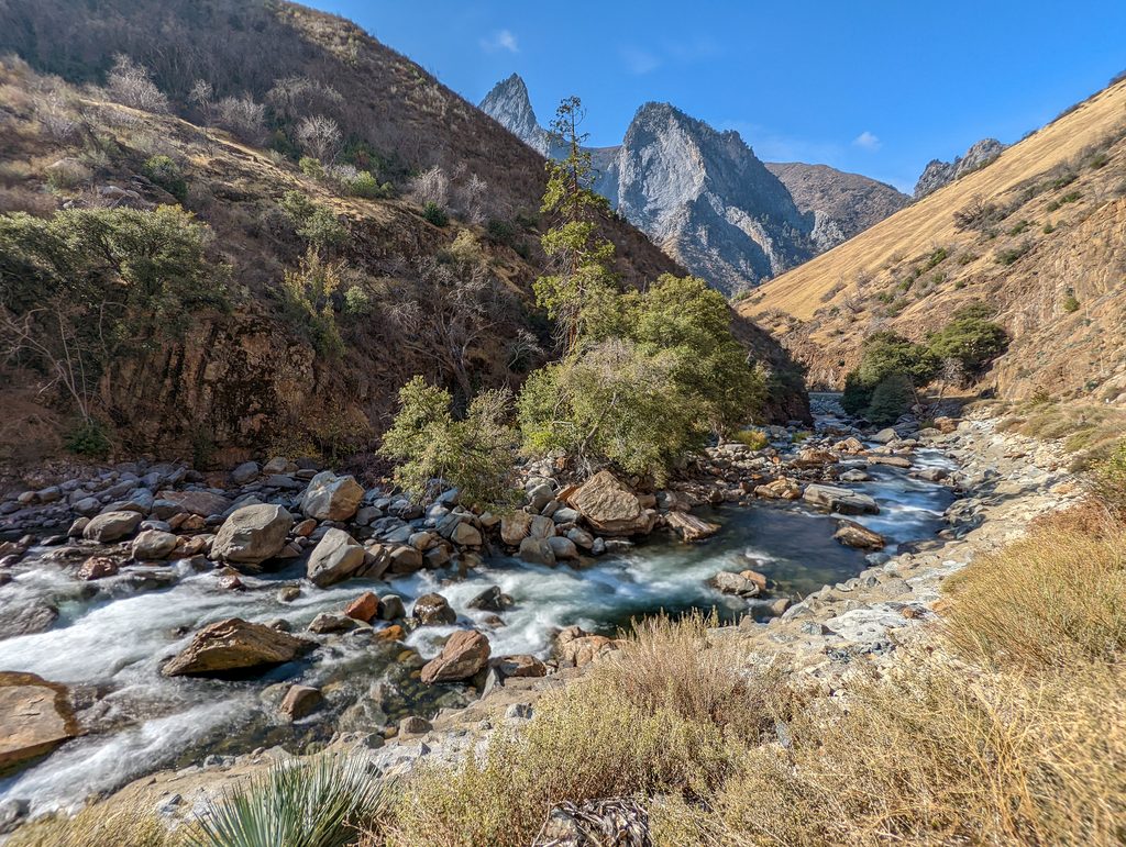
Place · 0.4 mi away
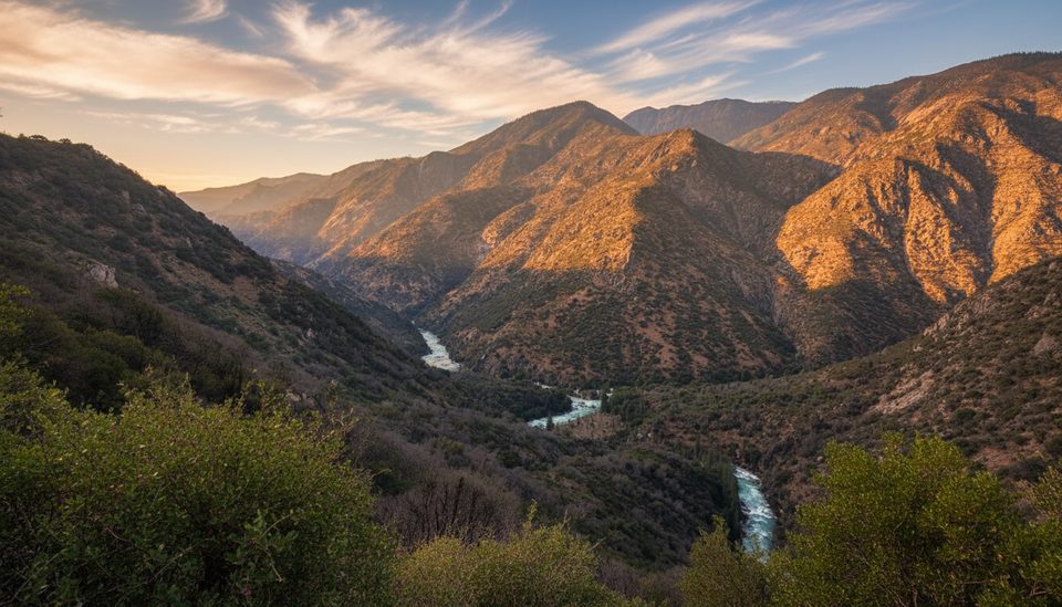
Yucca Point is a small roadside pullout and trailhead that drops you into the heart of Kings Canyon’s drama fast. It’s a short, stout out‑and‑back with huge payoffs: sweeping views of the granite canyon and a destination at the confluence of the Middle Fork and South Fork of the Kings River.
Along the descent, you’ll look straight into the river-carved depths and, across the canyon, spot Tehipite Dome’s pale granite profile. Around 1.5 miles in, there’s a view of a roughly 200‑foot waterfall on Tenmile Creek. At the bottom, many hikers take a breather by the river before tackling the climb back.
Expect about 3.5–3.6 miles round trip with roughly 1,125–1,360 feet of steep loss and gain. The path is largely in full sun, with sections that can be narrow, brushy, and a bit tricky to follow. Long pants help with overgrowth, and sturdy shoes make the steep return more manageable. There are no bathrooms at the trailhead and parking is just a small roadside pullout.
Kings Canyon’s sheer walls and hanging valleys are the handiwork of repeated Pleistocene glaciations sculpting tough granitic rock. That blend of U‑shaped canyon form and erosion‑resistant granite is what creates the towering relief you see here, with the river slicing far below and domes like Tehipite perched across the canyon.
Spring can deliver good wildflower displays on these sunny slopes. Keep an eye out for rattlesnakes in warm months and do a thorough tick check after the hike—ticks are reported in the grassy, brushy stretches. Poison oak grows along parts of the route.
Start early for cooler temps and softer light on the canyon walls. Access to the Cedar Grove corridor is seasonal, so confirm the road is open before you go. June often brings favorable conditions; late fall can be cold and wet. Weekdays and early mornings help with parking and heat management.
Place · 0.4 mi away
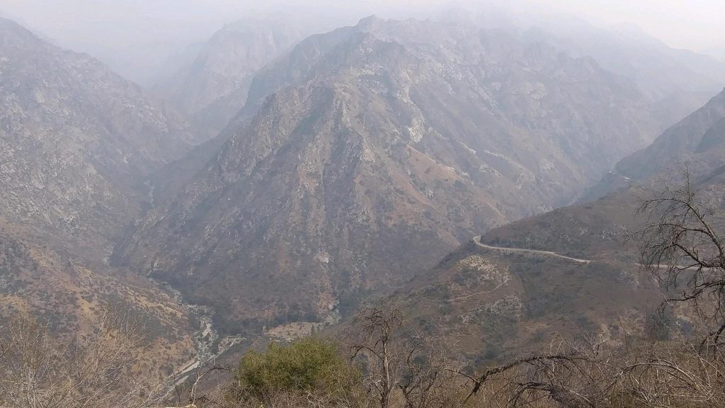
Place · 0.8 mi away
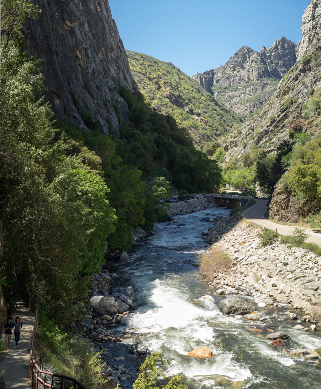
Place · 3.3 mi away
Place · 6.6 mi away
Easy · 6.6 mi away
Moderate · 6.6 mi away
Easy · 8 mi away
Easy · 8 mi away

Parkwolf Tour Guide
