Pros & cons
PROS
- Two paved overlooks give distinct angles on the canyon and Hume Lake
- Benches, accessible parking, and picnic tables make it an easy add-on stop
CONS
- Narrow, blind-turn access road with limited parking
- Haze or smoke can significantly diminish views
Small lot at the end of Panoramic Point Road, about 2.3 miles from Grant Grove Village; limited spaces with accessible parking, vault toilets, and picnic tables.
Narrow, winding access road with blind turns; RVs and trailers not allowed. Some steep grades on the paved path. Haze/smoke can reduce visibility. Winter access may require hiking, snowshoeing, or skiing. Bear spray is not permitted.
Overview
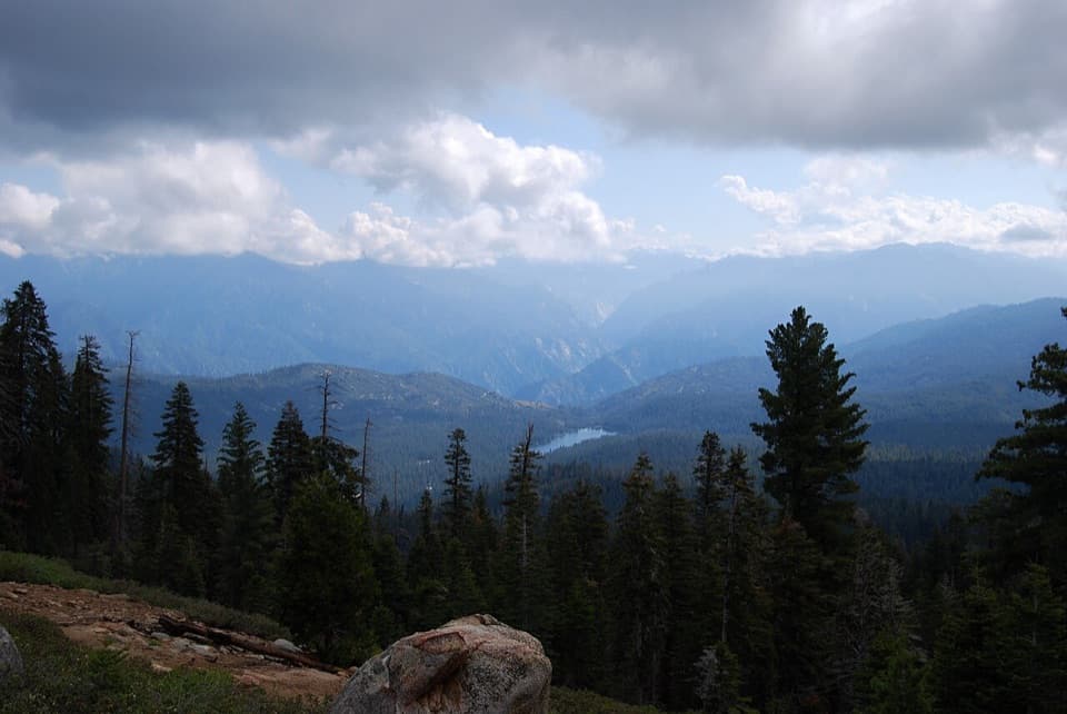
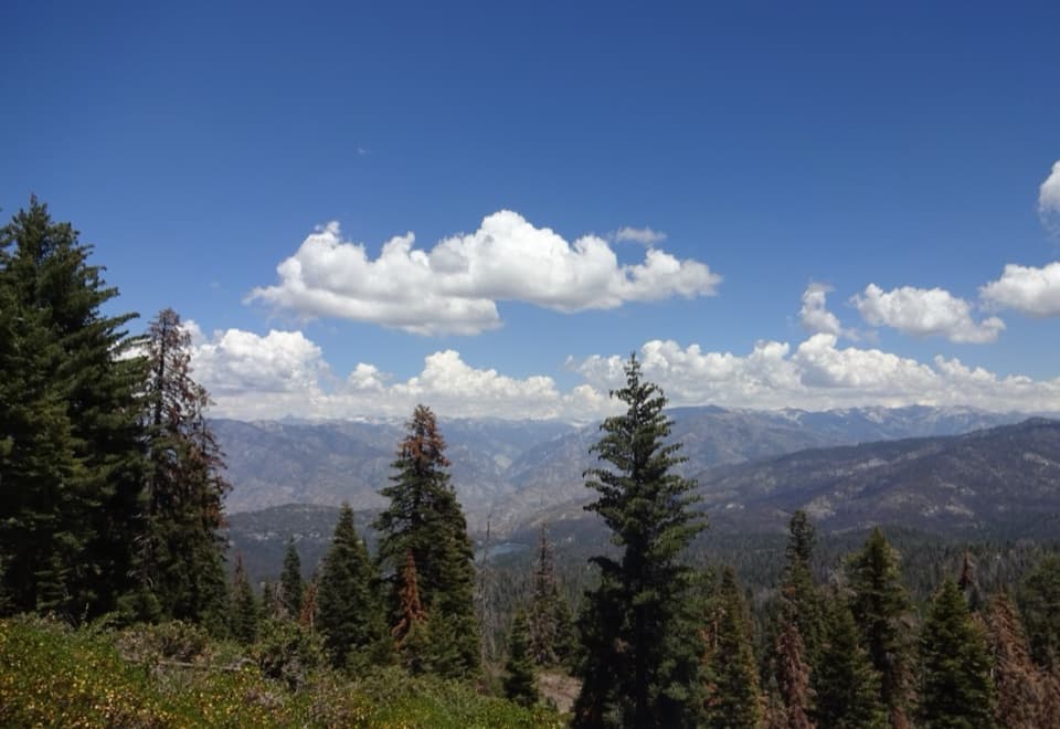
A true effort-to-reward gem, this short, paved loop delivers sweeping views of Kings Canyon, Hume Lake, and distant High Sierra summits in minutes. The trail is roughly 0.5 miles total (loop) with about 95 feet of gain, taking most people around 10–20 minutes. Expect a generally easy walk with some moderately steep grades that may feel punchy at elevation.
Route and What You’ll See
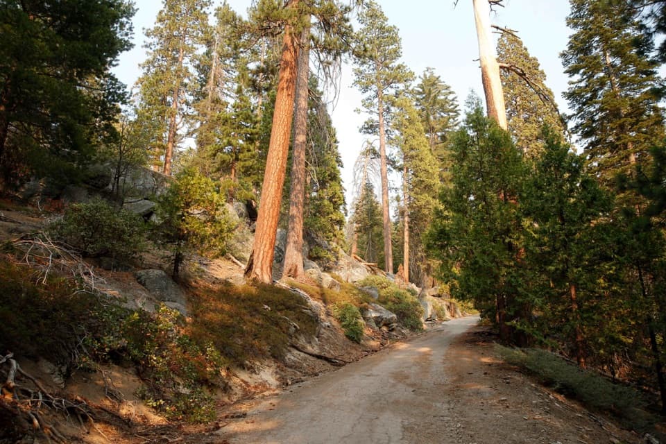
From the small parking area, the paved path climbs to two nearby overlooks that offer slightly different perspectives. Look for Hume Lake below (a historic, early-1900s multiple‑arch dam project) and, on clear days, the deep glacial gorge of Kings Canyon and far-off High Sierra peaks like North Palisade. Interpret the landscape as a crash course in Sierra geology—Ice Age carving, long-term erosion, and the patchwork of forests shaped by past fires.
Getting There & Parking
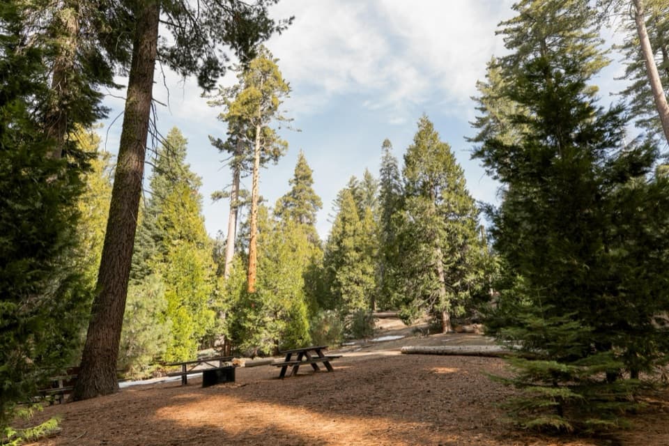
Drive about 2.3 miles up Panoramic Point Road from Grant Grove Village to the end of the road. The drive is narrow, winding, and includes blind turns—go slow and yield. Parking is limited and fills quickly at peak times; arrive early for space and calmer lighting. There are accessible vault toilets and picnic tables at the trailhead.
Best Time to Hike
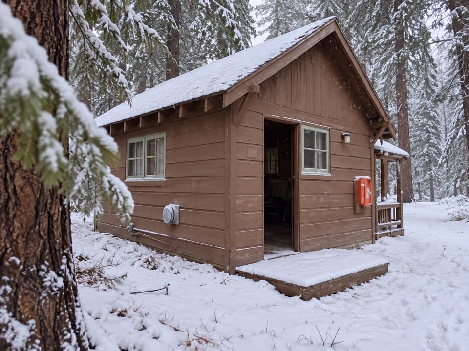
Sunrise and sunset light the canyon walls and lake beautifully and often bring calmer crowds. Be aware that haze from the Central Valley or seasonal wildfire smoke can mute long-distance views even on blue-sky days. After storm systems clear the air, visibility can be outstanding. In winter, the road may not be drivable and you’ll need to hike, snowshoe, or ski to reach the point.
Accessibility Notes
The surface is paved and generally at least five feet wide with benches for resting. Grades commonly run 5–8% with brief steeper bits, so some visitors using wheelchairs, mobility devices, or strollers may need assistance. There is accessible parking and restrooms at the trailhead.
Extend Your Hike
If you want more than a viewpoint, continue beyond the paved overlook along the unpaved Park Ridge Trail to the Park Ridge Fire Lookout—about 2.4–2.6 miles one way with notable additional elevation gain and big ridge‑top views. Volunteers sometimes offer tours when present.
What to Know
RVs and trailers aren’t allowed on the access road, and larger vehicles may find parking tight. Bear spray is not permitted in the park. In winter, expect snow and ice; traction or snow gear may be necessary.
Elevation
0.5 mi · 15 minWhere it starts
36.7544, -118.9442Wildlife on this trail
Near Panoramic Point Trail
All places →All trails →
0 mi awayPark Ridge Trail to the Park Ridge Fire LookoutRolling ridge walk to a historic lookout with big Sierra viewsModerate · 5.2 mi · 2.5 hr
0 mi awayPark Ridge Fire LookoutHistoric fire lookout with High Sierra views via a ridge hikeScenic Viewpoint
0 mi awayPanoramic PointBig Sierra vista on a quick paved stroll above Hume LakeTrailhead · Parking
1.2 mi awayCrystal Springs CampgroundShady Grant Grove basecamp with water, flush toilets, and bear boxesCampground · Restroom
1.2 mi awayCrystal Springs Campground Group SitesTent-only group loop steps from Grant Grove’s marquee sequoiasRestroom · Parking
1.7 mi awayGeneral Grant Tree TrailPaved sequoia loop to the Nation’s Christmas Tree and historic relicsEasy · 0.5 mi · 15 min
2.7 mi awayBig Stump Loop TrailShort loop of sequoia history with climbable stumps and mellow viewsEasy · 1.7 mi · 1 hr
3.5 mi awayRedwood Canyon TrailQuiet big-tree loops through a recovering giant sequoia canyonModerate · 10 mi · 5 hr