Junction View

Roadside pullout with sweeping views of the canyon and river
Junction View, Kings Canyon National Park
InsideKings Canyon National Park

Overview

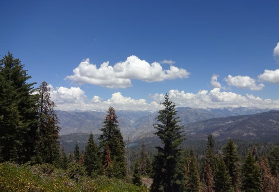
A classic roadside stop on the Kings Canyon Scenic Byway (Hwy 180), Junction View dishes up a dramatic look straight into the canyon. It’s a true pull‑in, snap‑photos, soak‑it‑in kind of stop—plan a few minutes and you’ll be glad you did.

What You’ll See

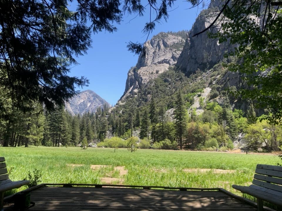
From the railing you can trace the South Fork Kings River thousands of feet below and scan a skyline stacked with named features: Rodger’s Ridge, Spanish Mountain, Deer Ridge, Crown Rock, Silver Spur, Mt Harrington, the Grand Dike, and even University Peak on a clear day. A wayside panel titled “The Kings Canyon: A Wonderland of Unique Geology” helps you pick out landmarks and understand how this canyon came to be.

Access & Season

Junction View is a small paved turnout right off Highway 180, best accessed when you’re climbing out of the canyon (westbound). There are no services here—no toilets, water, or tables—so plan your stops in Cedar Grove (summer) or Grant Grove Village. The byway segment from the Hume Lake turnoff to Road’s End typically closes in winter (roughly November–April, conditions dependent), so access tracks with the road status.

How It Fits Into Your Day

Most travelers treat Junction View as a short photo stop while driving between Grant Grove and Cedar Grove/Road’s End. Expect a winding, time‑consuming mountain drive with big elevation changes—this pullout is a natural breather and a great place to appreciate the scale of the canyon.

Wildlife Notes

The broader area supports black bears and plenty of other wildlife. Dawn and dusk are your best bet for sightings; observe quietly from a distance and never feed animals. There are no grizzlies here.

Best Time to Visit

There are no formal hours, but the road must be open. For photography, aim for early morning or late afternoon when light rakes across the ridges. If you’re threading a busy summer day on the byway, treat this as an efficient stop—grab the view, read the geology sign, and continue to Cedar Grove’s riverside spots.

Pros

  • Huge panoramic view down-canyon to the South Fork Kings River
  • Clear wayside panel that points out peaks and explains the geology
  • Quick roadside stop directly off Highway 180

Cons

  • No restrooms, water, or picnic tables
  • Small paved turnout that can feel busy at peak times

Tips

  • Approach and park when heading westbound (uphill) for the easiest pull-in.
  • There are no restrooms or water here; use facilities at Grant Grove or Cedar Grove.
  • The byway beyond the Hume Lake turnoff often closes in winter; check road status.
  • Read the geology wayside to identify peaks and ridges in the panorama.
  • The drive is steep and winding with big elevation changes—take it slow.
The Parkwolf tour guide sitting on a phone mounted in a car

Parkwolf Tour Guide

Like a tour guide in your car.

Save the places you found around Kings Canyon, then let Parkwolf guide the drive between them.Download Parkwolf on the App Store