Pros & cons
PROS
- Historic pre-highway route with a wild, lightly traveled feel
- Optional Lookout Peak extension offers one of Cedar Grove’s best panoramas
- Sheep Creek Cascade provides a rewarding short-turnaround objective
CONS
- Effort-to-reward can feel low if you turn around before the summit views
- Overgrown, dusty stretches and occasional blowdowns slow progress
- Summit finish requires route finding and a short Class 3 scramble
Park near Cedar Grove Visitor Center and cross Highway 180 to the trail, or use the small pullout about 0.1 miles past the Cedar Grove Village turn. Watch for fast traffic.
Sustained, steep climb with heat and exposure; limited water—carry 3+ liters. Rattlesnakes present. Bear spray is not allowed. The Lookout Peak extension is unmaintained with loose footing, faint tread, and a short Class 3 scramble.
Overview
A classic Cedar Grove sufferfest, the Don Cecil climbs straight out of the canyon on an old, historic route that predated the highway. Expect a sustained grade, big elevation, and a real backcountry feel. As a standard out-and-back to the upper trailhead/park boundary it’s about 9.6 miles total with roughly 3,300 feet of gain. Many hikers extend to Lookout Peak for the full payoff; that pushes the day to roughly 11–12 miles round trip and 3,800–4,000 feet of ascent, including a short Class 3 scramble to tag the true summit.
Route options
- Short sampler: Sheep Creek Cascade makes a rewarding turnaround in a shady ravine about a mile up (roughly 2 miles round trip). A sturdy bridge crosses Sheep Creek around 0.8 miles from the start.
- Standard Don Cecil: Continue the sustained climb on an unrelenting grade through mixed forest to the upper Don Cecil trailhead/park boundary (about 9.6 miles round trip, 3,300 feet gain).
- Lookout Peak extension: Beyond the maintained trail, a faint use path leads to Lookout Peak. It’s steeper, sandy in spots, and requires route finding; the finish includes a short, hands-on Class 3 scramble. The summit hosts microwave antennas and delivers some of the best Cedar Grove panoramas.
What you’ll see
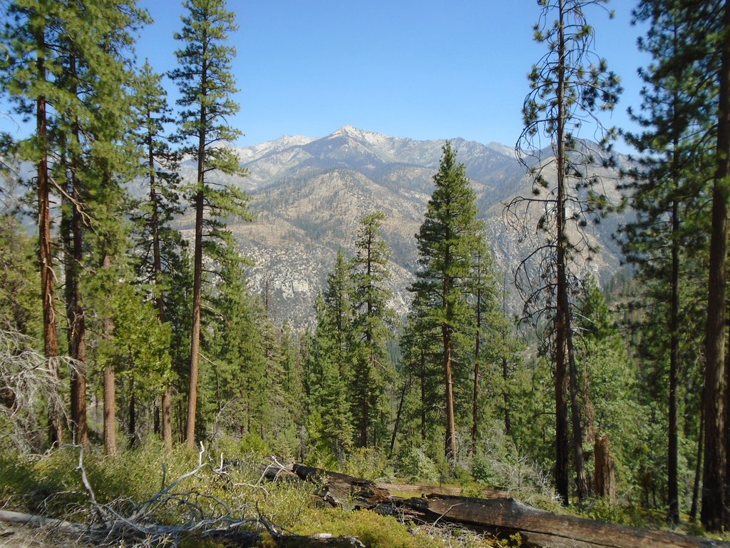
Lower miles wind through open pine woods with broadleaf pockets, occasional burned stretches with standing snags, and limited shade. You’ll pass the cool, mossy glen of Sheep Creek Cascade, then grind into bigger views as the forest opens higher up. A surprisingly lush, level glen with a small creek appears around 3 miles. Near the top, glimpses expand to wide Kings Canyon and the High Sierra. If you continue to Lookout Peak (8,531 feet), the 360-degree vistas are the prize.
Best time to hike
This north-facing climb can still get hot and exposed, especially on upper slopes. Start early for cooler temps and better light in the canyon. Spring through fall is typical; summer heat demands more water and sun protection. Weekdays see very light crowds—this is generally a quiet trail even in peak season.
Know before you go
- This is a long, sustained climb with few breaks—budget more time than you think. The upper sections can be dusty, overgrown in places, and occasionally blocked by downed trees.
- Water is limited beyond a couple of small crossings; carry at least 3 liters and bring a filter if you plan to treat from streams.
- If going for Lookout Peak, be comfortable with route finding and a short Class 3 scramble on loose, sandy, and rocky terrain. Offline maps help where the use path fades.
- Wildlife: rattlesnakes are possible; watch your step. Black bears are common in the region. Bear spray is not permitted in Sequoia & Kings Canyon.
- Day-use only; no pets on park trails.
Getting there
Trailhead access is off Highway 180 in Cedar Grove. Park near the Cedar Grove Visitor Center and take the access path across the highway, or use the small roadside pullout about 0.1 miles past the Cedar Grove Village turn. Use caution—traffic moves fast at the start/finish.
Elevation
9.6 mi · 6.3 hrWildlife on this trail
Near Don Cecil Trail
All places →All trails →
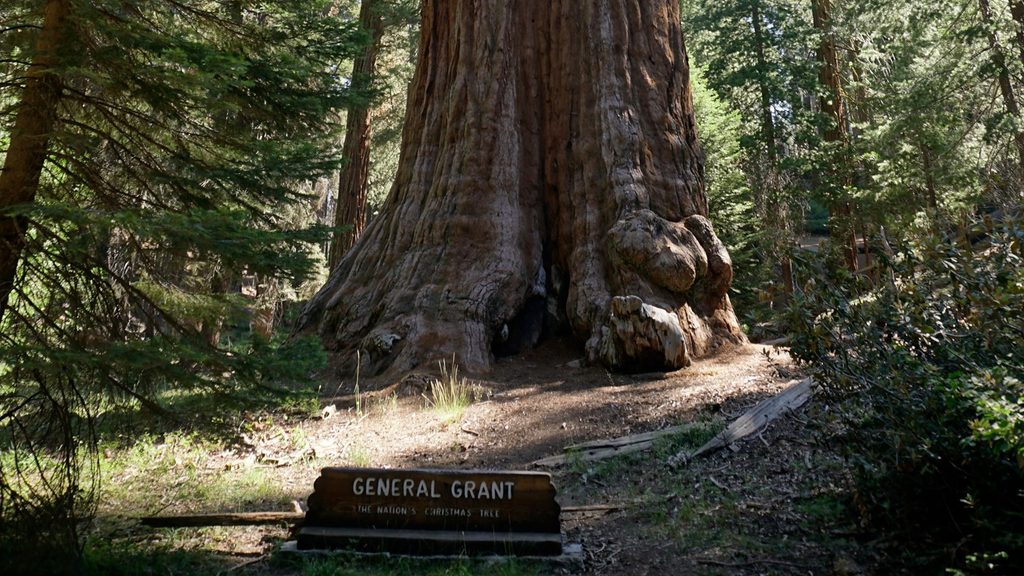
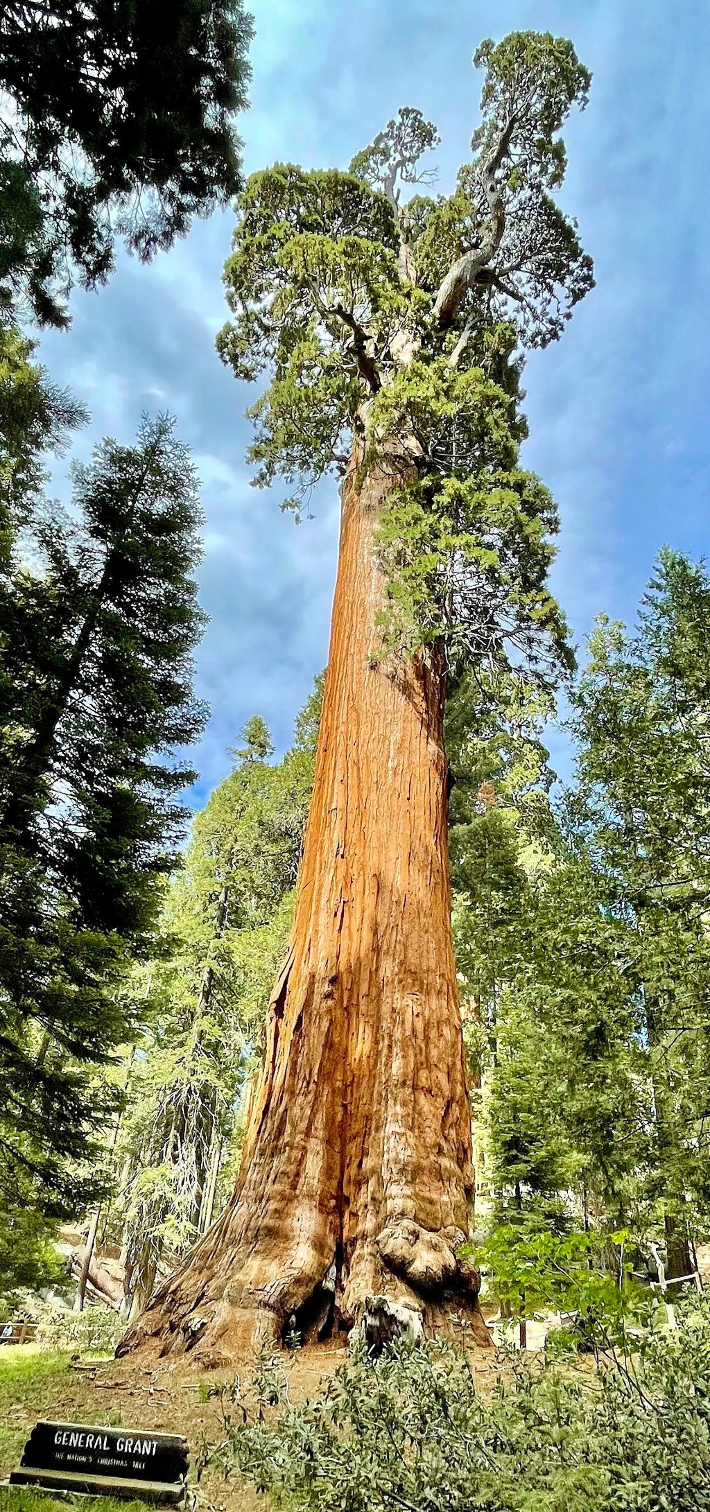
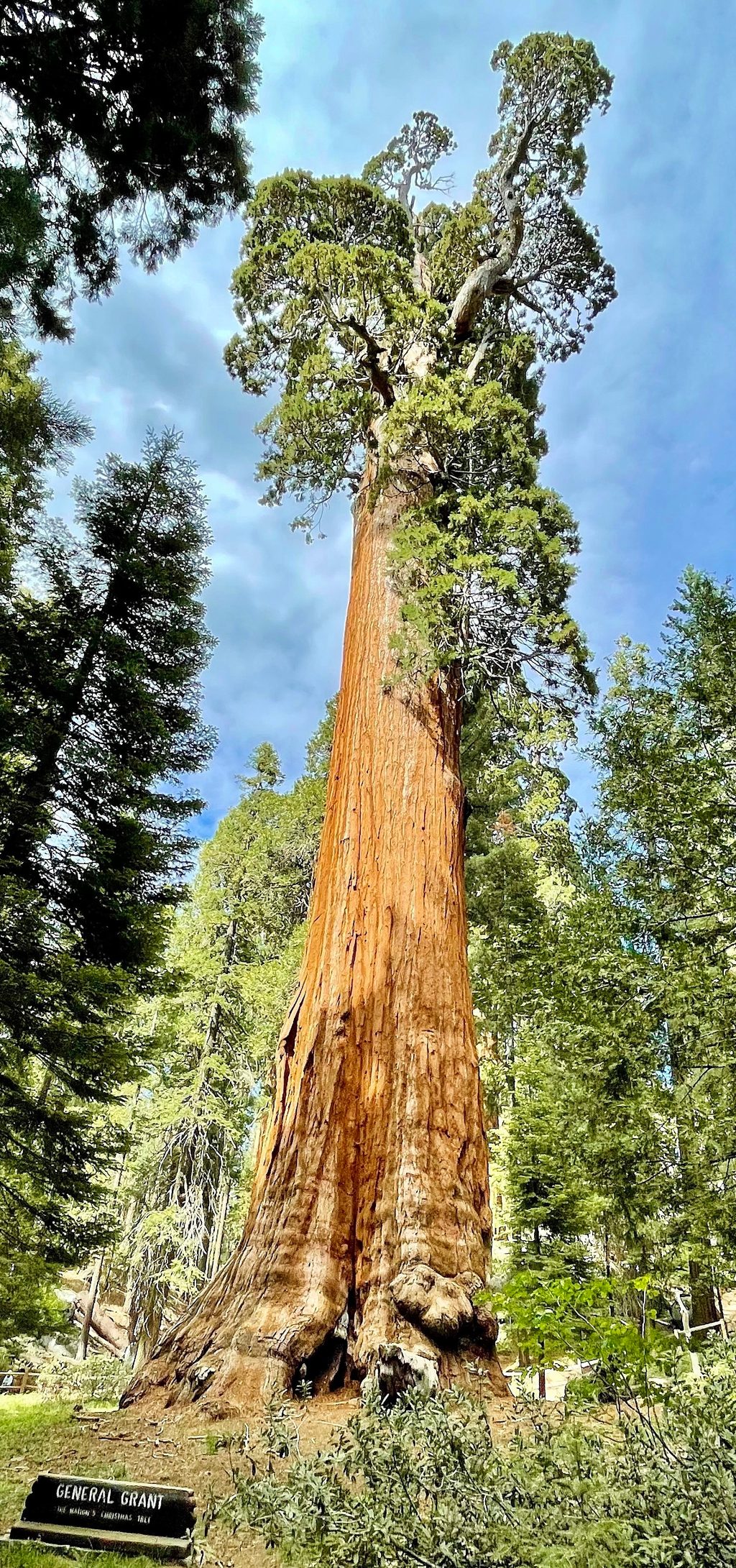
General Grant TreeSecond-largest sequoia on an easy loop with history and loreRestroom · Parking
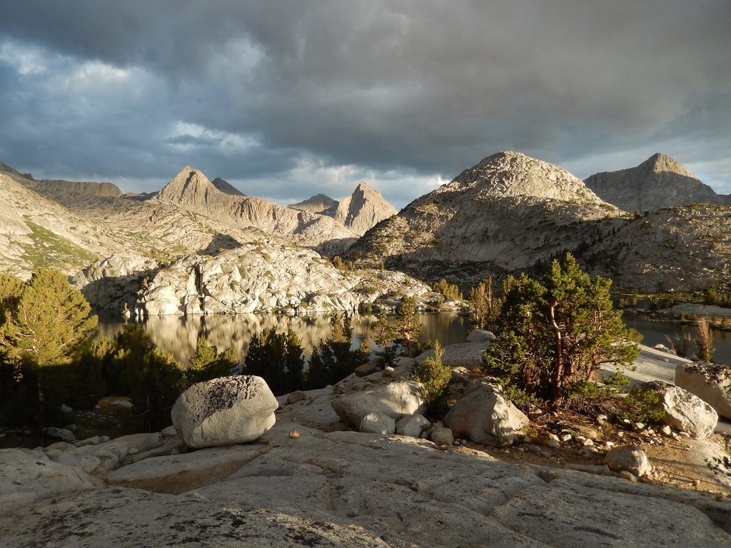
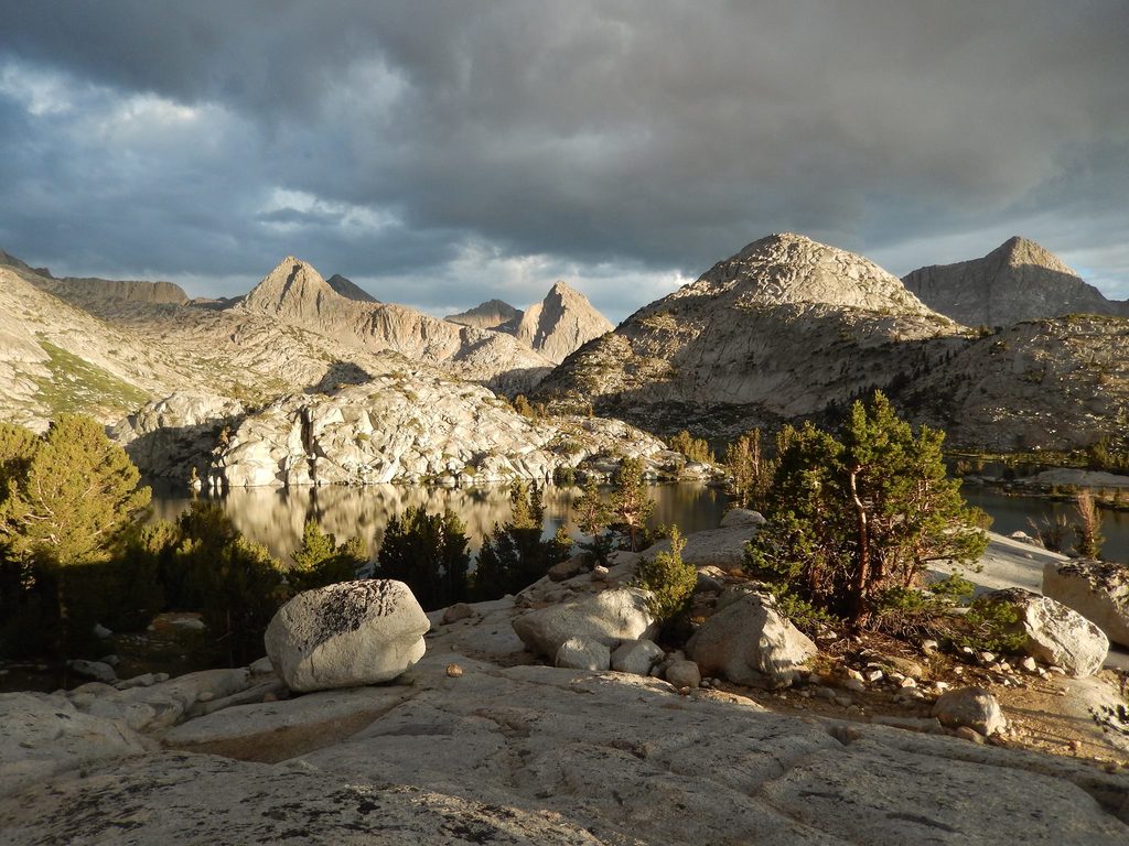
Evolution BasinHigh Sierra granite basin of turquoise lakes on the JMTScenic Viewpoint
Evolution LakeHigh granite lake on the JMT with stellar backcountry camps
Grant GroveIconic sequoia grove anchored by the National Christmas TreeTrailhead · Restroom
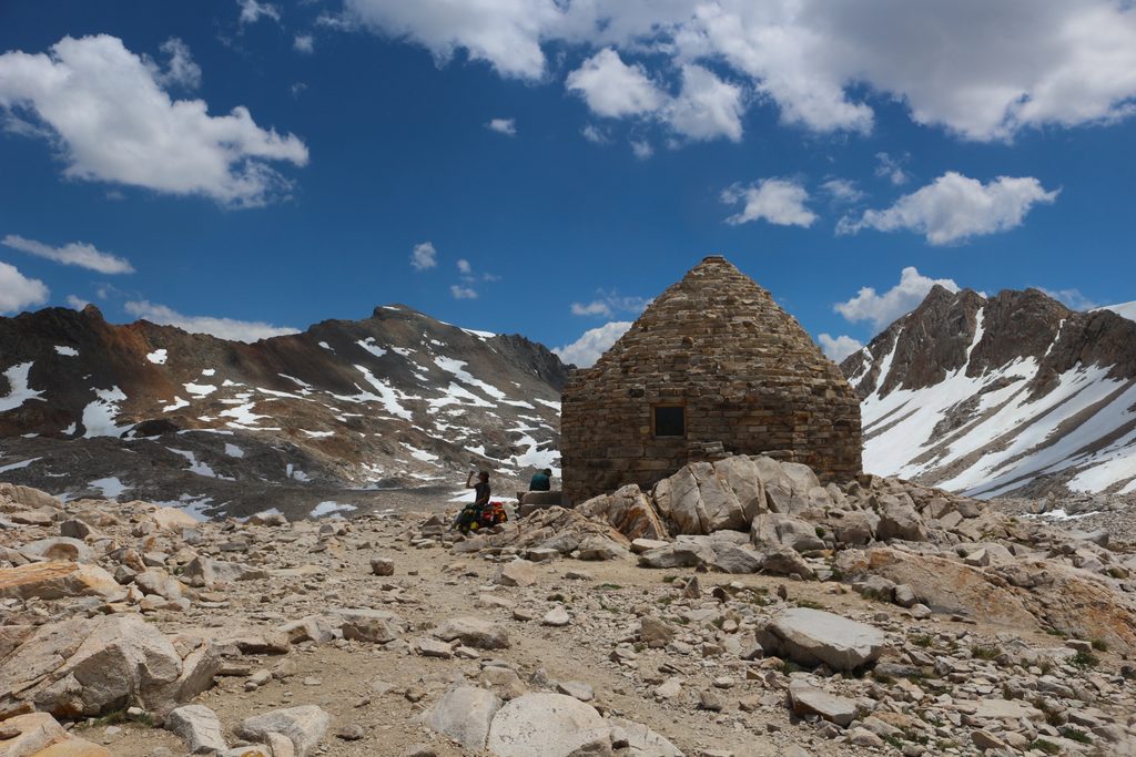
John Muir TrailHigh passes and classic Sierra basins from Evolution to Forester.Challenging · 211 mi · 168 hr
Rae Lakes LoopSierra classic: granite, alpine lakes, and one big pass payoffChallenging · 41.4 mi · 96 hr
General Grant Tree TrailPaved sequoia loop to the Nation’s Christmas Tree and historic relicsEasy · 0.5 mi · 15 min
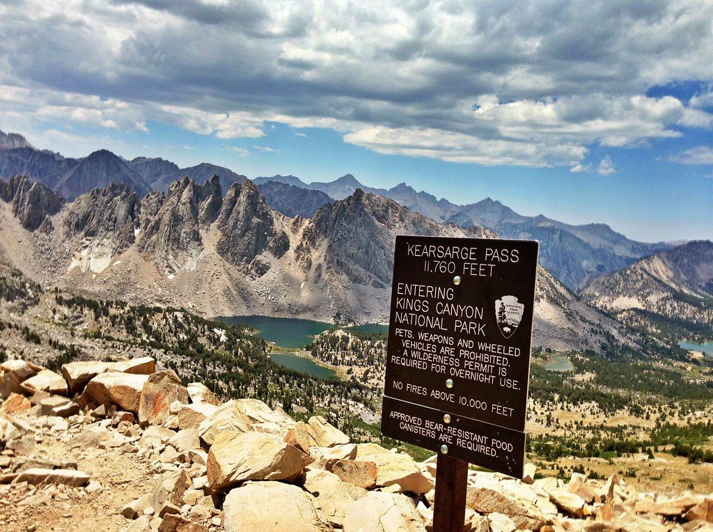
Kearsarge Pass TrailClassic Sierra pass to big views and blue lakes—short, steep, highChallenging · 9.6 mi · 5.5 hr