
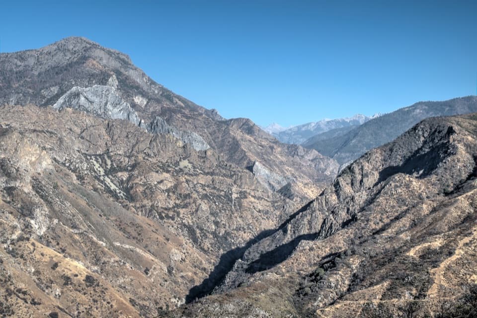
All Kings Canyon trails
77 trails
 1Rae Lakes LoopA high Sierra circuit of lakes, granite and a hard pass.
 2Mist Falls TrailRapids, granite canyon walls and a waterfall worth the long walk.
 3Zumwalt Meadow TrailCross the river for a meadow view framed by granite cliffs.
 4Roaring River Falls TrailA short paved walk ends at a granite-chute waterfall.
 5Panoramic Point TrailA paved half-mile loop over Hume Lake and the High Sierra.
 6Big Stump Loop TrailA short loop through logged sequoias to the Mark Twain stump.
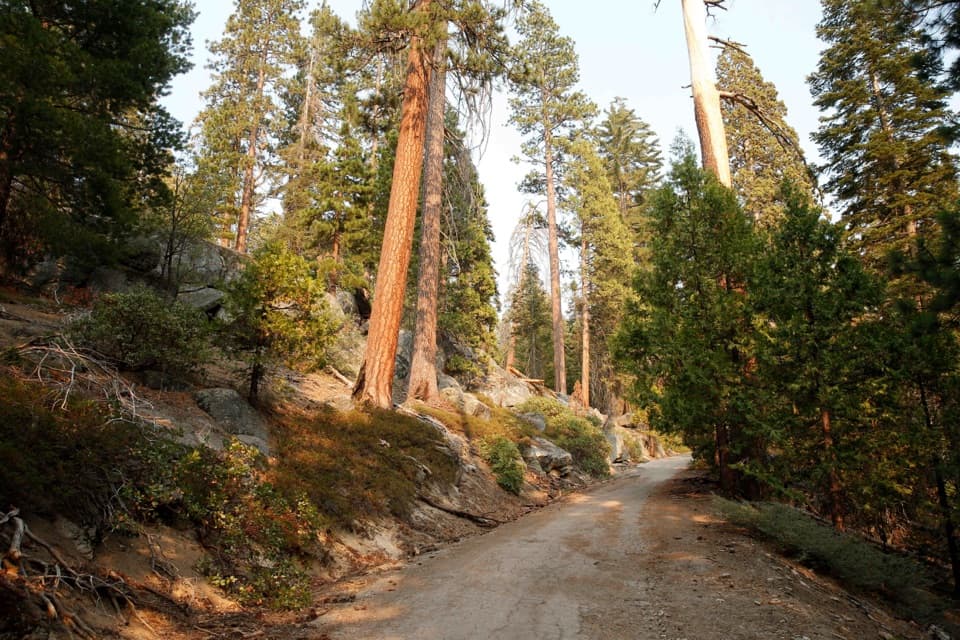 7North Grove LoopA quieter sequoia loop through meadows and creek-side forest.
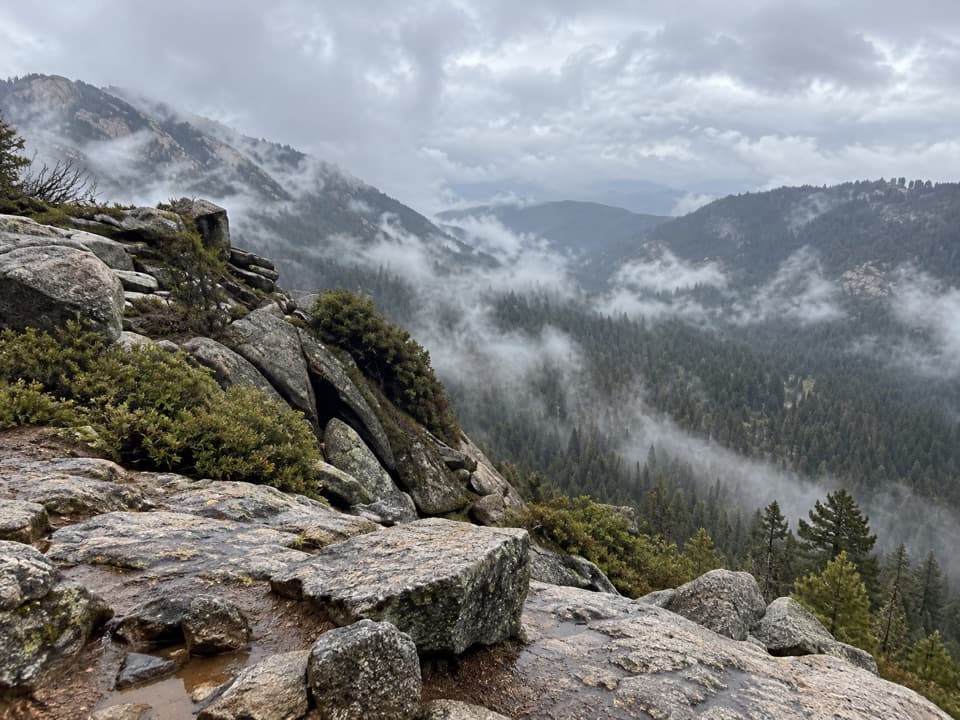 8Buena Vista Peak TrailA short climb to a granite dome above Redwood Canyon.
 9Big Baldy Ridge TrailClimb a forested ridge to granite views over Redwood Canyon.
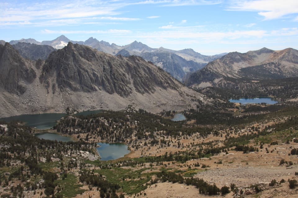 10Kearsarge Pass TrailThree lakes, then a high pass with Kings Canyon at your feet.
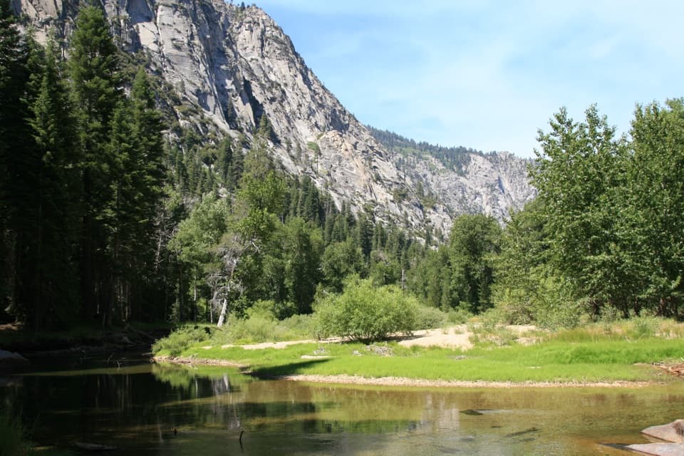 11Paradise Valley TrailClimb past Mist Falls to a green river valley beneath granite walls.
 12Cedar Grove Overlook via Hotel Creek TrailA steep 4.4-mile out-and-back to Kings Canyon views13Park Ridge Trail to Park Ridge Fire LookoutWalk the ridge to a historic fire lookout and wide Sierra views.
 14Sheep Creek Cascade TrailA short climb to small falls in a shady Cedar Grove ravine.
 15North Grove and Dead Giant LoopsWalk two sequoia loops to a standing dead giant and lake view
 16Kearsarge Lakes TrailCross Kearsarge Pass for three lakes beneath granite pinnacles
 17Dusy Basin via Bishop PassAlpine lakes, steep granite switchbacks, and a high Sierra basin.
 18North Lake–South Lake LoopA high Sierra traverse over Piute, Muir, and Bishop passes.
 19Charlotte Lake TrailReach an alpine lake beyond an 11,800-foot pass.
 20Bishop Pass TrailClimb past alpine lakes to a bare, 11,972-foot Sierra crest.
 21Lookout Peak via Don Cecil TrailA long historic climb opens over the whole canyon.
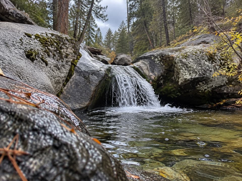 22Sunset Trail and Ella Falls LoopA granite cascade and a screened lake view reward this forest loop.
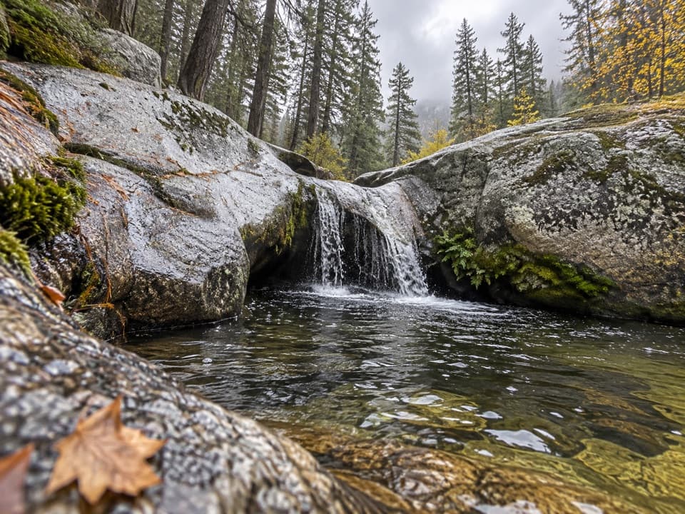 23Viola Falls TrailA forested descent from Grant Grove ends at a granite cascade.
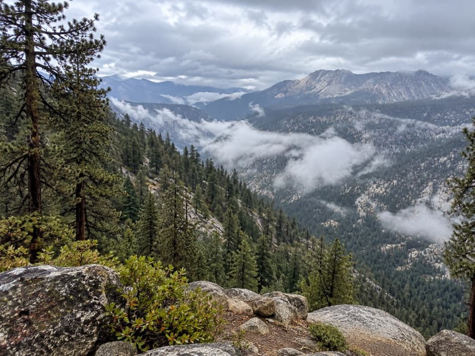 24Big SEKI LoopA 155-mile wilderness loop over high Sierra passes and alpine lakes.
 25Hart Tree and Fallen Goliath LoopA 7.3-mile sequoia loop to Hart Tree and Fallen Goliath.
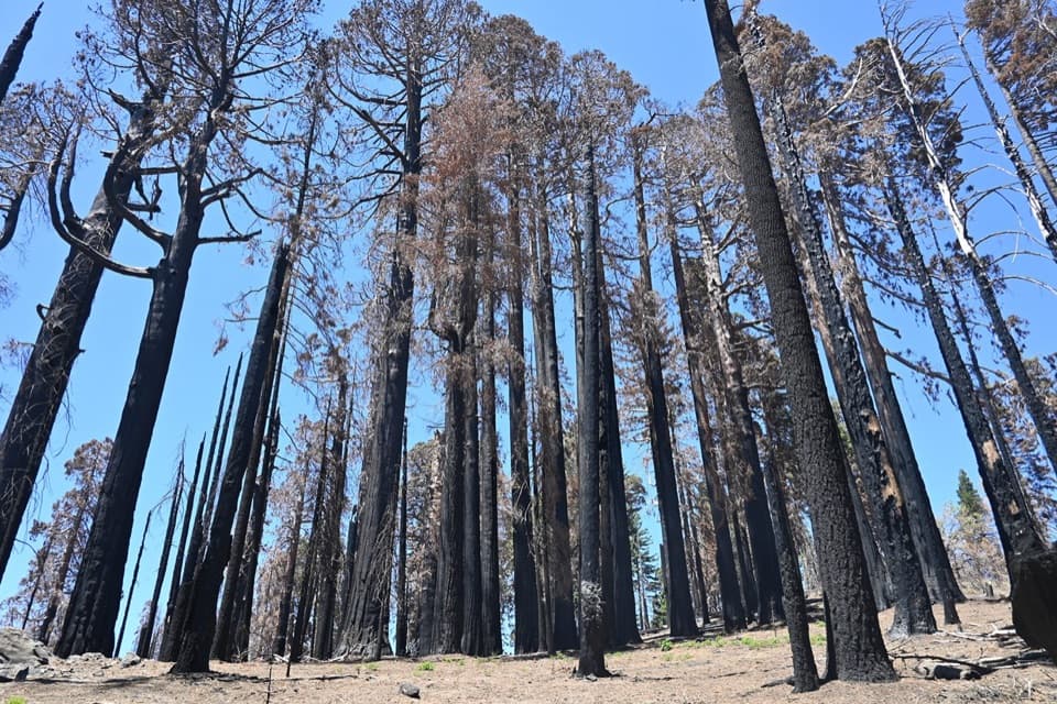 26Sugar Bowl LoopA sequoia loop with a ridge climb and a long descent
 27Mitchell Peak TrailA boulder scramble opens wide views across the high Sierra.
 28Boole Tree TrailA giant sequoia thought spared by loggers anchors this forest loop.
 29Hotel Creek–Lewis Creek LoopCedar Grove loop with a canyon view and quiet pine stretch.
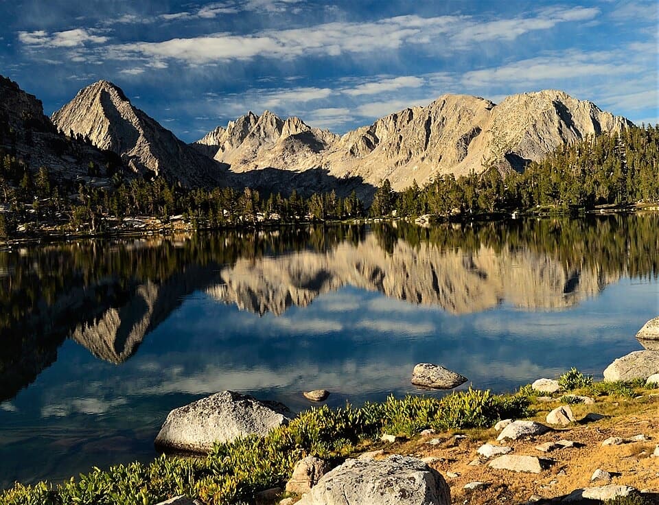 30Bullfrog Lake Trail via Kearsarge PassCross a high pass for a lake beneath the Videttes.
 31Sixty Lakes Basin TrailA high, rough side trip from Rae Lakes into an alpine basin.
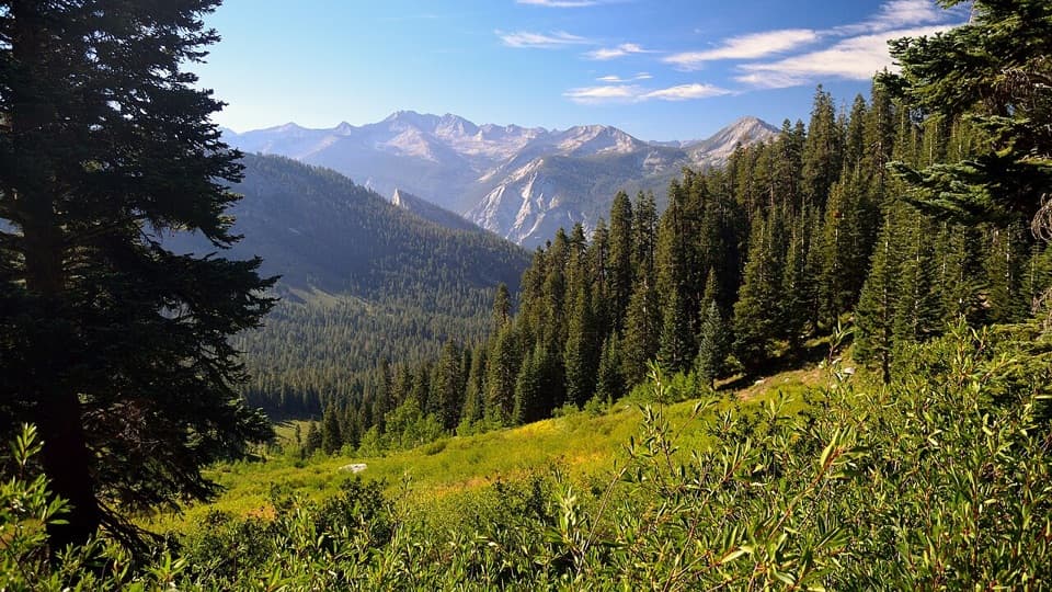 32Copper Creek Trail to Granite PassA steep climb pays off with basin meadows and two huge views.
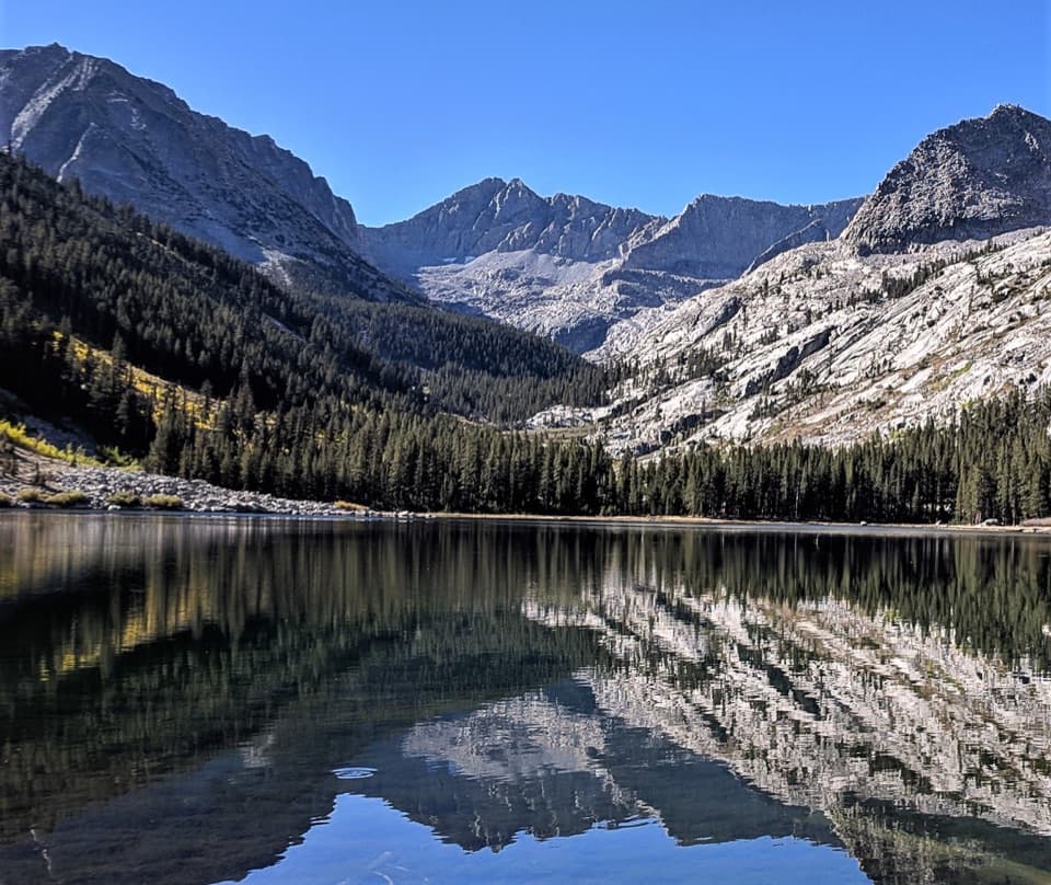 33East Lake TrailAn all-day climb to East Lake beneath Mount Brewer.
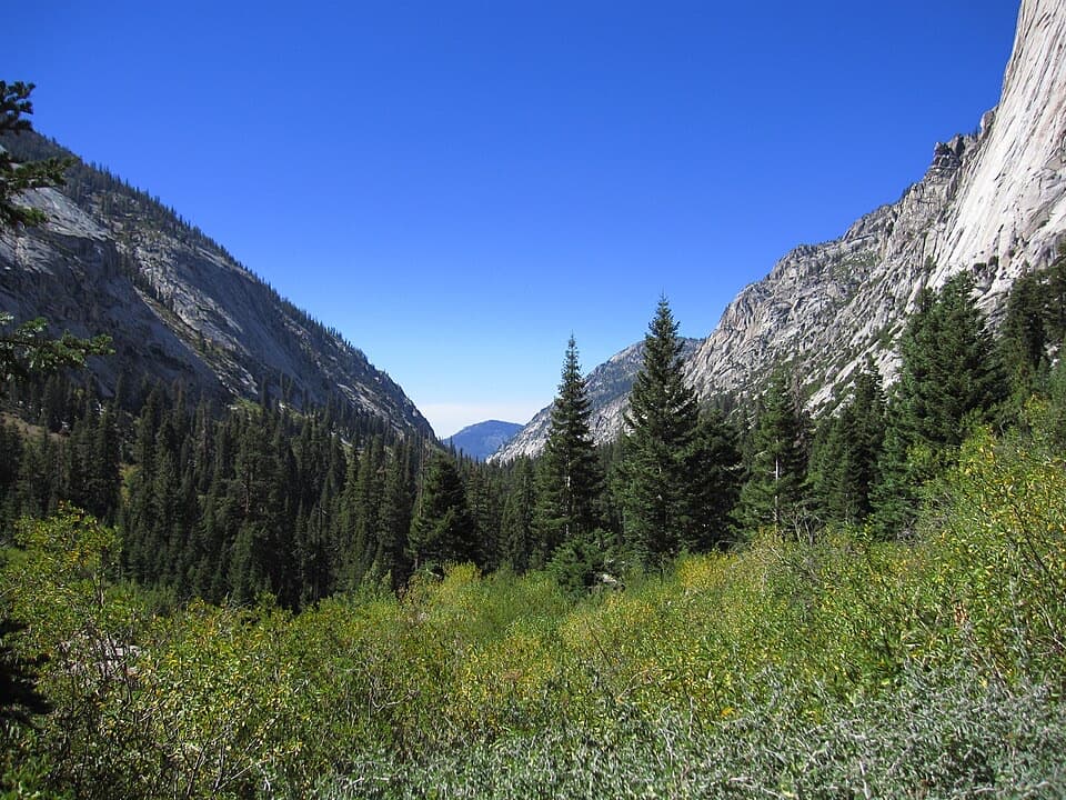 34Bubb's Creek TrailA steep start opens into a long High Sierra creek corridor.35Lake Reflection TrailA rugged 37-mile out-and-back through Junction Meadow to Lake Reflection.36Woods Creek Trail to Woods Creek CrossingA long backcountry walk to the Woods Creek suspension bridge.
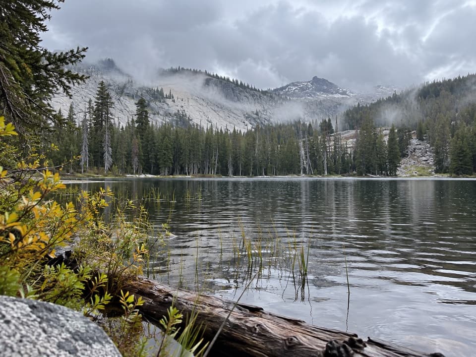 37Seville Lake TrailA long forest approach ends at a lake beneath granite ridges.
 38Lost Lake TrailA full-day climb to a high Sierra lake.
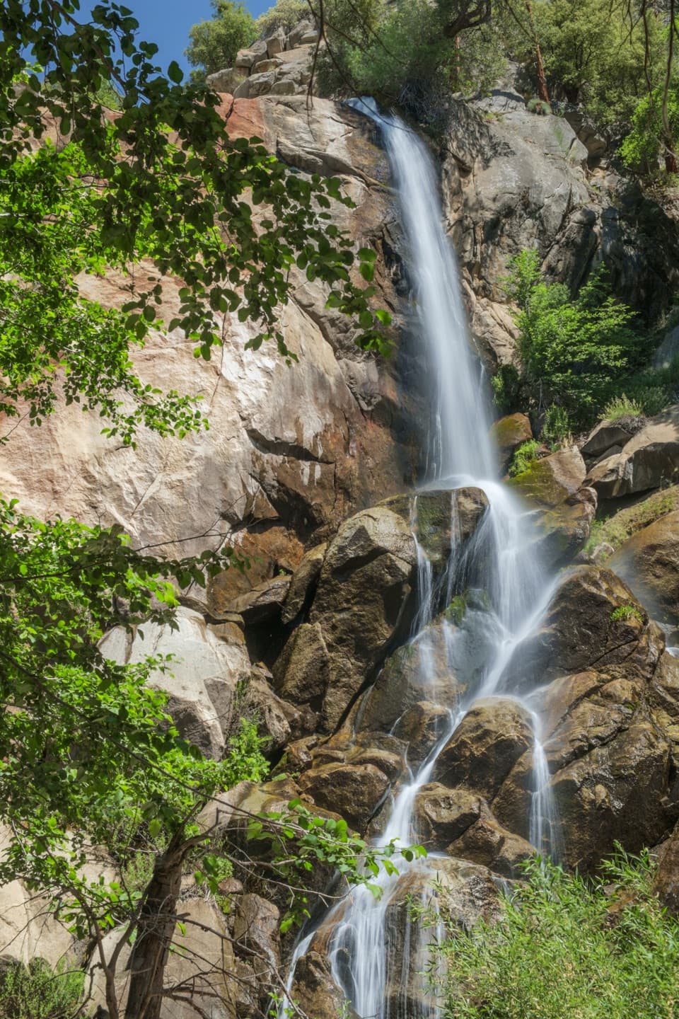 39Grizzly Falls TrailAn 80-foot waterfall rewards a short walk from the picnic area.
 40Ranger Lake TrailA long high Sierra route to an alpine lake beneath granite walls.
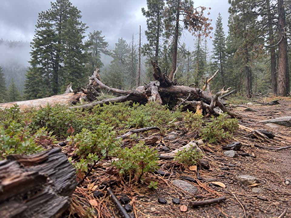 41Manzanita and Azalea TrailA forest circuit around Wilsonia opens onto High Sierra views.42Kings Canyon River TrailA largely level river walk from Roaring River Falls to Road's End.
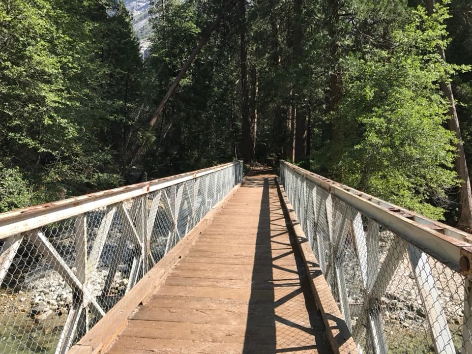 43Kanawyer Loop TrailA five-mile river loop with easy grades and a rougher return.
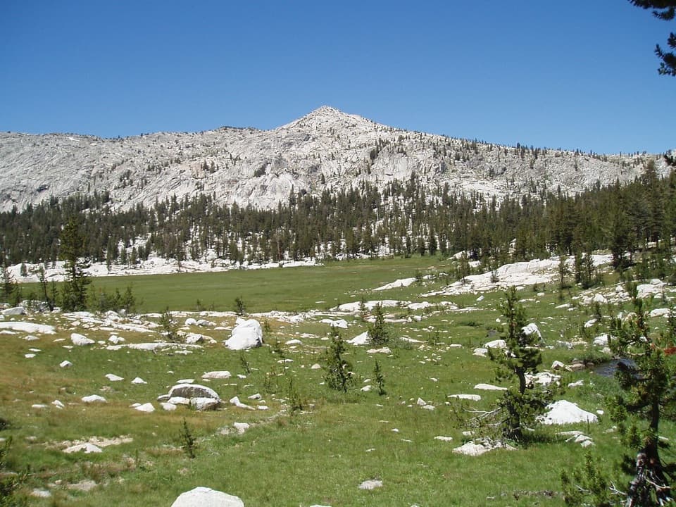 44Granite Lake and Granite Basin TrailA steep climb into a granite basin and its high alpine lake.
 45Lewis Creek Trail to Kennedy PassA steep, high-country climb to a broad Sierra pass.
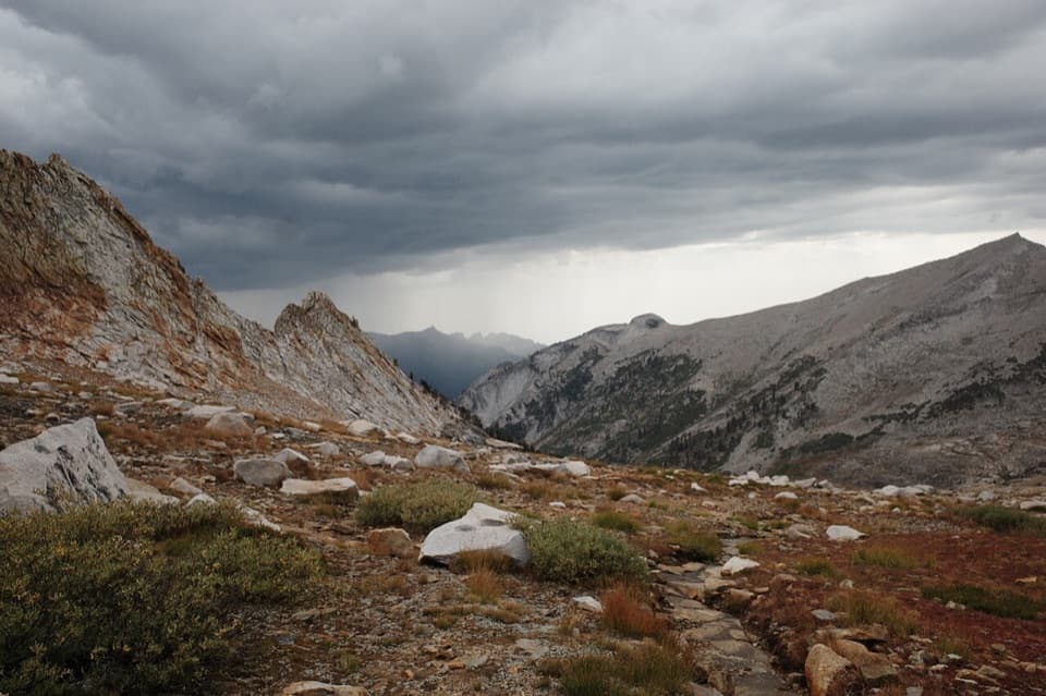 46Deadman Canyon LoopA remote high-country loop through Deadman Canyon and Elizabeth Pass.
 47Florence Lake to McClure MeadowA long JMT backpack route from Florence Lake to McClure Meadow.
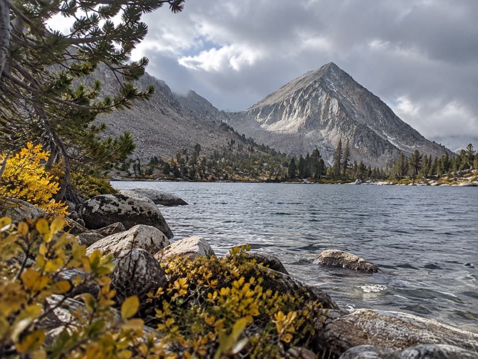 48Bench Lake TrailA remote alpine lake after a climb of more than 6,000 feet.
 49Piute Pass TrailA high pass leads into a long Piute Creek backcountry crossing.
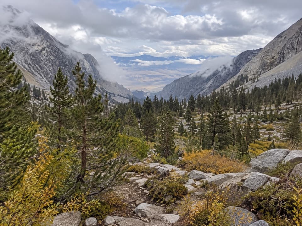 50Baxter Pass and Baxter Lakes TrailA rugged climb over Baxter Pass to a remote high-country lake.
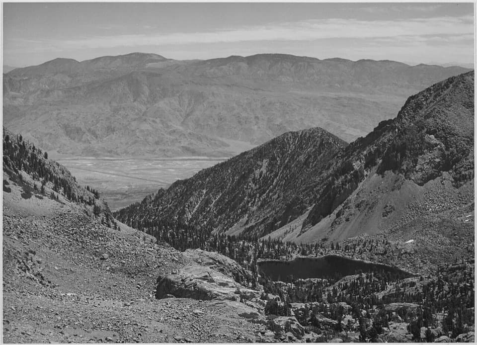 51Sawmill Pass TrailA hard Sierra crossing to the John Muir Trail.
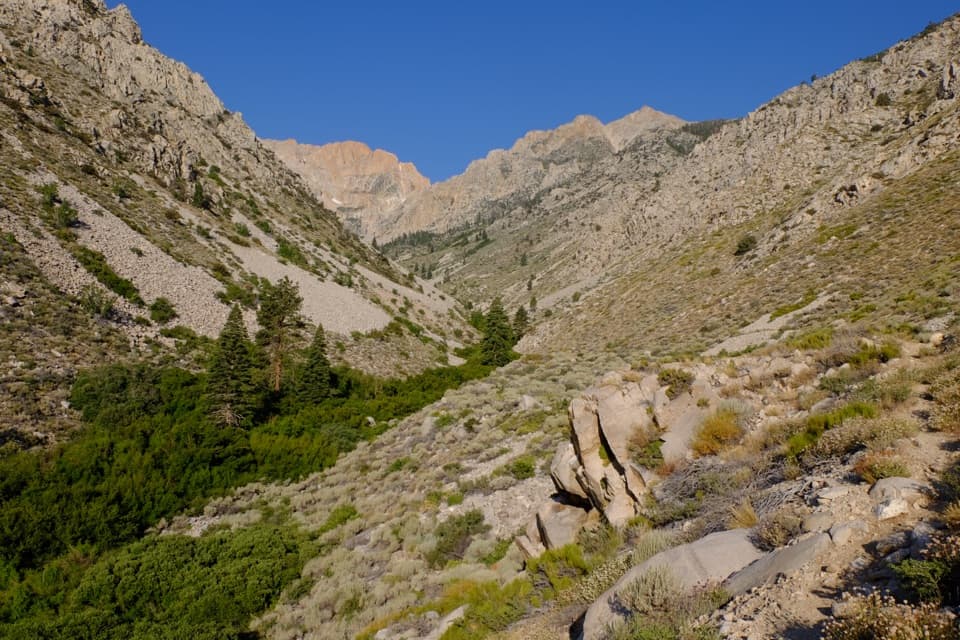 52Taboose Pass TrailA steep, rough climb from Owens Valley to the JMT.
 53Avalanche Pass Trail to Roaring RiverA long, hard route over a forested 10,000-foot pass.
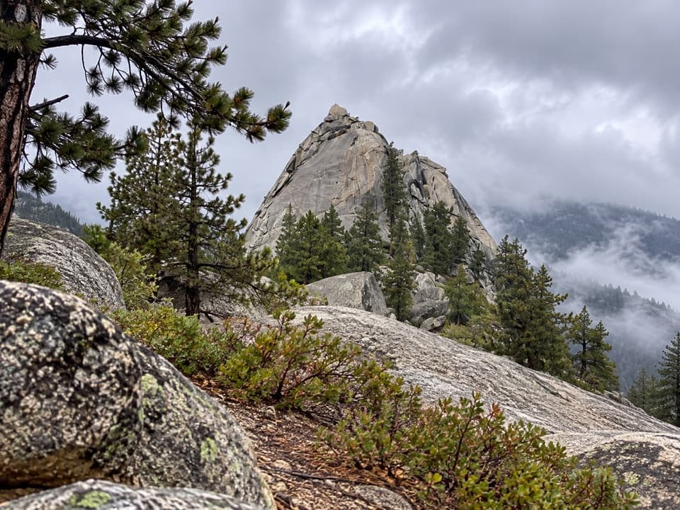 54Sugarloaf Valley TrailFollow Sugarloaf Creek through a remote granite valley.
 55Silliman Pass via Twin Lakes TrailTwin Lakes and a high pass reward a long forest climb.56Redwood Mountain LoopTen miles of sequoias, old logging history, and ridge-top views.
 57Redwood Canyon to Big Springs TrailAn 11.3-mile out-and-back from Redwood Saddle to Big Springs.
 58Goddard Canyon TrailA faint High Sierra path links a remote pass to the JMT.
 59Tehipite Valley TrailBackpack 33 miles round trip into Tehipite Valley
 60North Boundary–Lone Pine LoopA quieter forest loop with a brief giant sequoia highlight
 61State Lakes Loop TrailTwo alpine lakes, a rocky loop, and a section easy to lose.
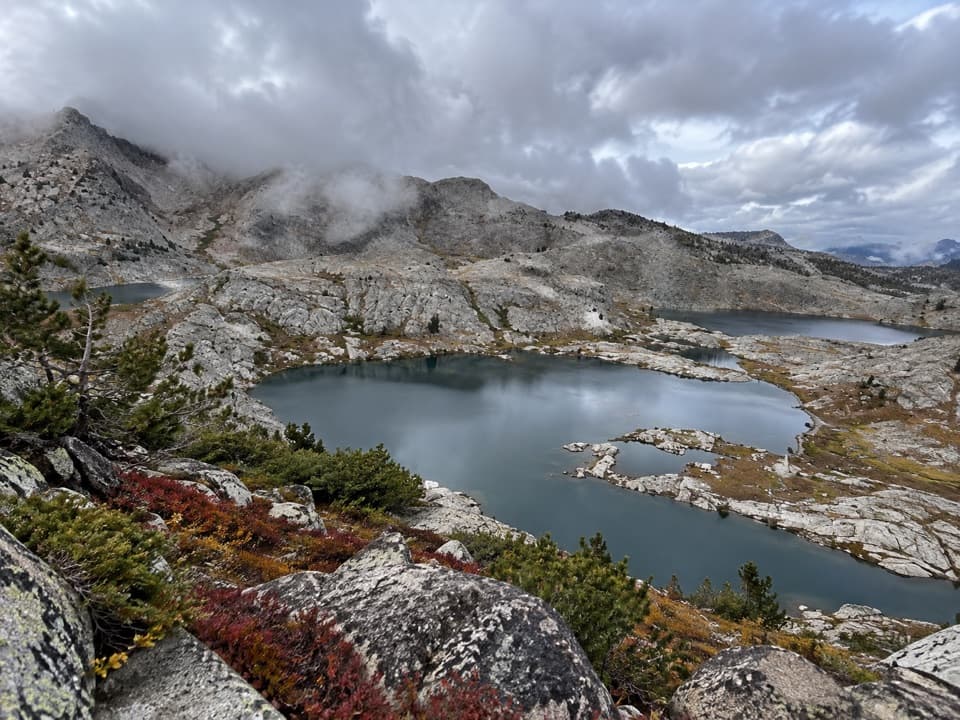 62Volcanic Lakes LoopA chain of granite lakes rewards a long, rough cross-country route.63Grouse Lake via Copper Creek TrailA steep canyon climb ends at a granite lake beyond the tread
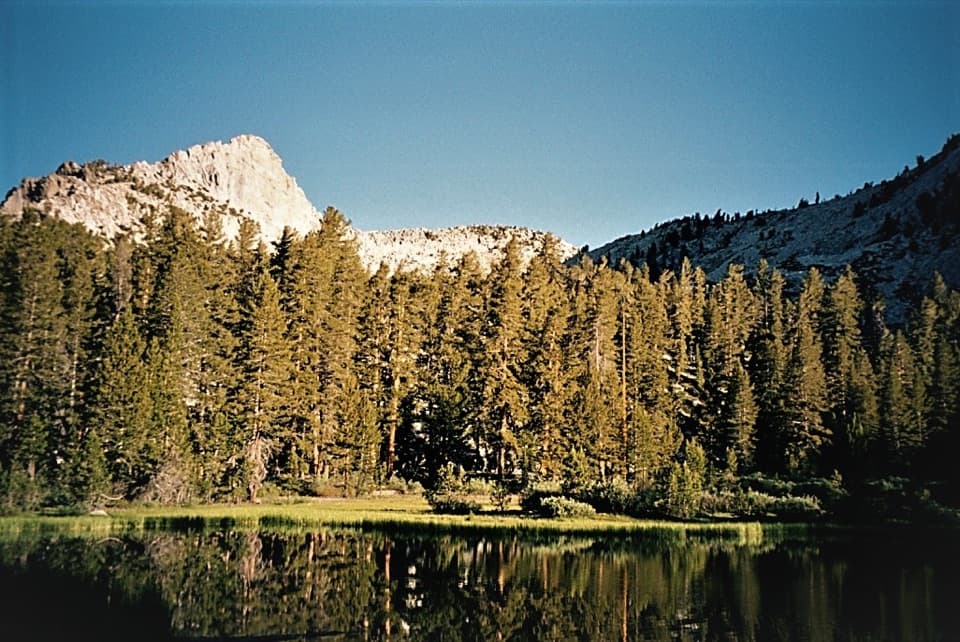 64Grizzly Lakes via Deer Cove TrailA steep, all-day climb to lakes beneath Mount Harrington.
 65Colby Pass via Cloud CanyonA remote divide crossing past Whaleback and Colby Lake.66Deadman Canyon to Elizabeth Pass TrailA rugged 10.6-mile one-way route from Roaring River to Elizabeth Pass.
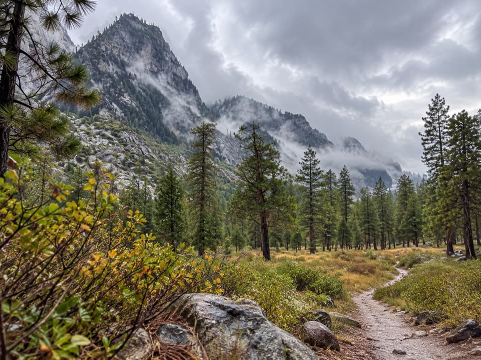 67Cedar Grove North Side TrailA five-mile walk links Roads End with Cedar Grove's west side.
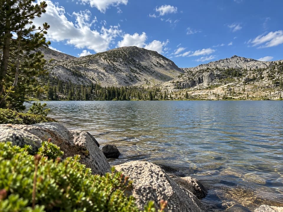 68Hell for Sure Pass TrailA three-day climb to a pass above Goddard Canyon.
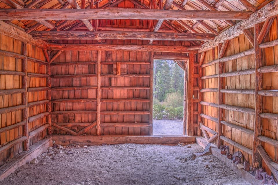 69Knapp’s Cabin TrailA tiny cabin stop with a surprisingly big canyon view
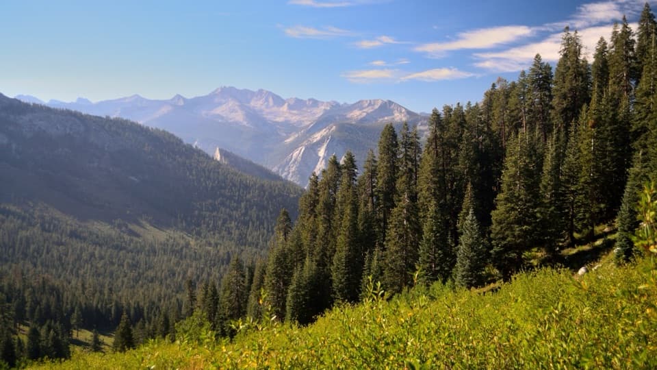 70Simpson Meadow TrailA steep Copper Creek climb gives way to a rough river descent.
 71Upper Middle Fork Kings TrailA remote river corridor for a demanding Sierra backpack.
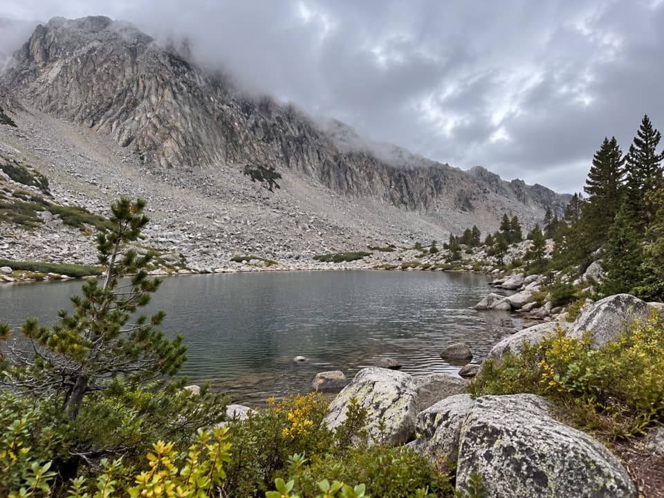 72Horseshoe Lakes TrailA high-alpine spur reaches a chain of remote lakes.
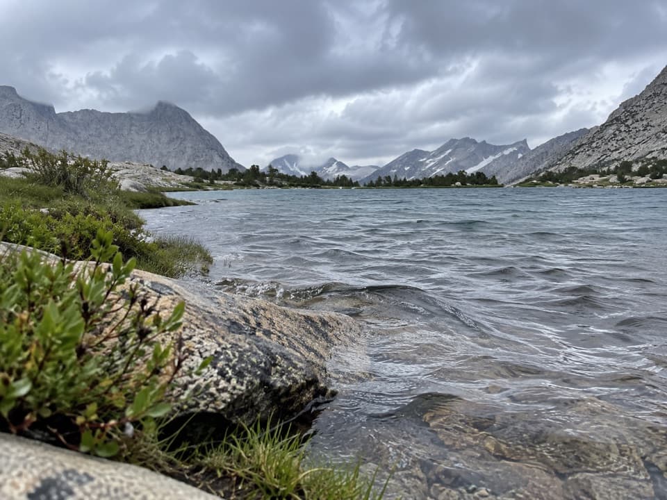 73Center Basin TrailA faint high-basin spur for hikers already deep on the JMT.
 74Dragon Lake TrailA faint, steep spur to a tucked away lake below Dragon Peak.
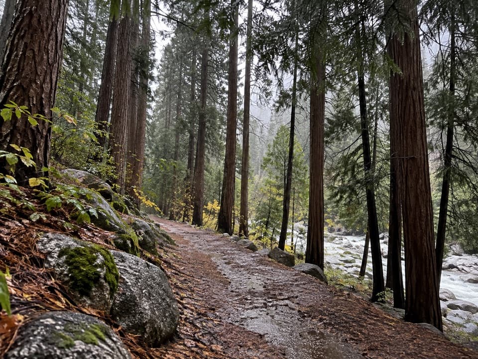 75Cedar Grove River Road WalkA flat riverside road walk beneath granite cliffs.
 76Blue Canyon TrailA remote, brushy 18.8-mile wilderness route into Blue Canyon.
 77Kanawyer Trail (Monarch Wilderness)A remote drop through three giant sequoia groves.

The highest, rockiest slopes around here are a summer buffet for grizzly bears.
Kings Canyon Tour Guide
Kings Canyon, narrated.
Parkwolf is a GPS audio tour guide for Kings Canyon National Park. As you drive, it chimes in with what’s ahead: hidden gems, upcoming stops, history, geology, and wildlife, right through your car’s speakers.
See the Kings Canyon audio tourRecorded for this place
General Grant Tree and Grant Grove0:00 / 0:32
“You're approaching Grant Grove's General Grant Tree, the world's second-largest tree by trunk volume. This is a stop I'd keep even on a short visit.”
Plays as you drive up to General Grant Tree in the Parkwolf Kings Canyon Tour Guide.
More stories near here in the app
- Grant Grove Village
- North Boundary and Lone Pine Loop
- The Bird That Plants Pines
- Panoramic Point
- 55 audio storiesacross Kings Canyon’s roads, triggered by GPS as you drive
- Wildlife heatmapsfor Black Bear, Mule Deer, Marmot, and 13 more
- Works offlinemaps, 77 trails, 61 places, and audio download before you lose signal
- CarPlay readysimple controls built for the drive
“…The kids and my husband and I all agree that the narration really added to our experience driving through the parks. We learned so much about the history and the flora & fauna.”

