
Place
Moderate
This is a backcountry route into Sugarloaf Valley, most commonly hiked from the Marvin Pass Trailhead to Sugarloaf Meadow and back. Plan on 16.8 miles total (out-and-back) with about 3,126 feet of elevation gain. The park characterizes the route as moderate, but it’s a long day if you try to do the whole thing in one push—many hikers split it into an overnight.
From Marvin Pass, follow the Mitchell Peak Trail up and over the pass, then descend into Bell Canyon. Continue to the junction with the Sugarloaf Valley Trail and on to Sugarloaf Meadow. Signage exists but can be inconsistent; hikers have noted a gate near Sugarloaf Camp and a few missing signs. There’s a bear box just before the meadow at a lightly used campsite, which makes overnighting here simpler.
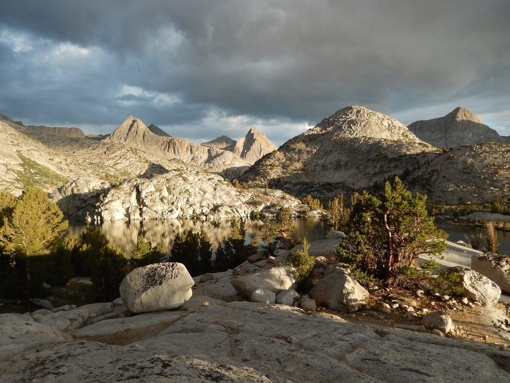
Expect classic Sierra granite terrain with broad, glaciated canyons, forested stretches, and open meadows. The big draw here is the sense of scale and the polished, U-shaped canyon scenery shaped by ice over time. It’s a quieter corner of the park compared to frontcountry favorites, making it a solid pick if solitude is part of your goal.
The mileage and accumulated gain make this feel strenuous as a day hike for many. Strong hikers can do it in roughly 8 hours, but if you want time to linger at the meadow (or simply enjoy a more relaxed pace), make it an overnight. Overnight travel requires a wilderness permit.
Early summer can bring intense mosquitoes—head nets, repellents, and treated clothing are worth their weight. Roads in this part of the park are subject to winter closures, which can affect trailhead access. Late summer into early fall typically offers the most straightforward conditions.
This is bear country. Store food properly and stay bear-aware from trailhead to camp. Navigation is straightforward on the standard route, but the extended, cross-country variations beyond the meadow demand solid map skills. If you like having paper to back up your GPS, carry the Mount Silliman USGS 7.5-minute quad.
Park at Marvin Pass Trailhead (Grant Grove side). Alternative access via Rowell Meadow or Big Meadows trailheads. Seasonal road closures may affect access.
Bears are common; use proper food storage. Early-summer mosquitoes can be intense. Some signage is missing near Sugarloaf Camp. Winter road closures may block access.
Place
Place
Place
Place
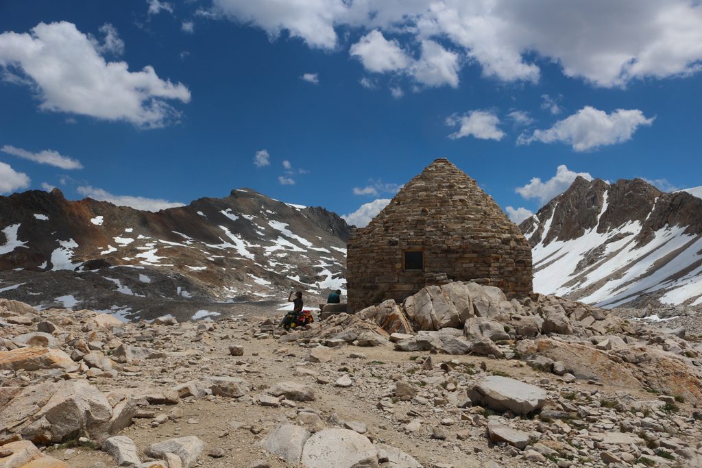
Challenging
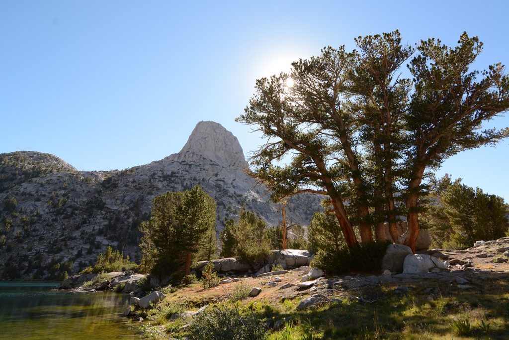
Challenging
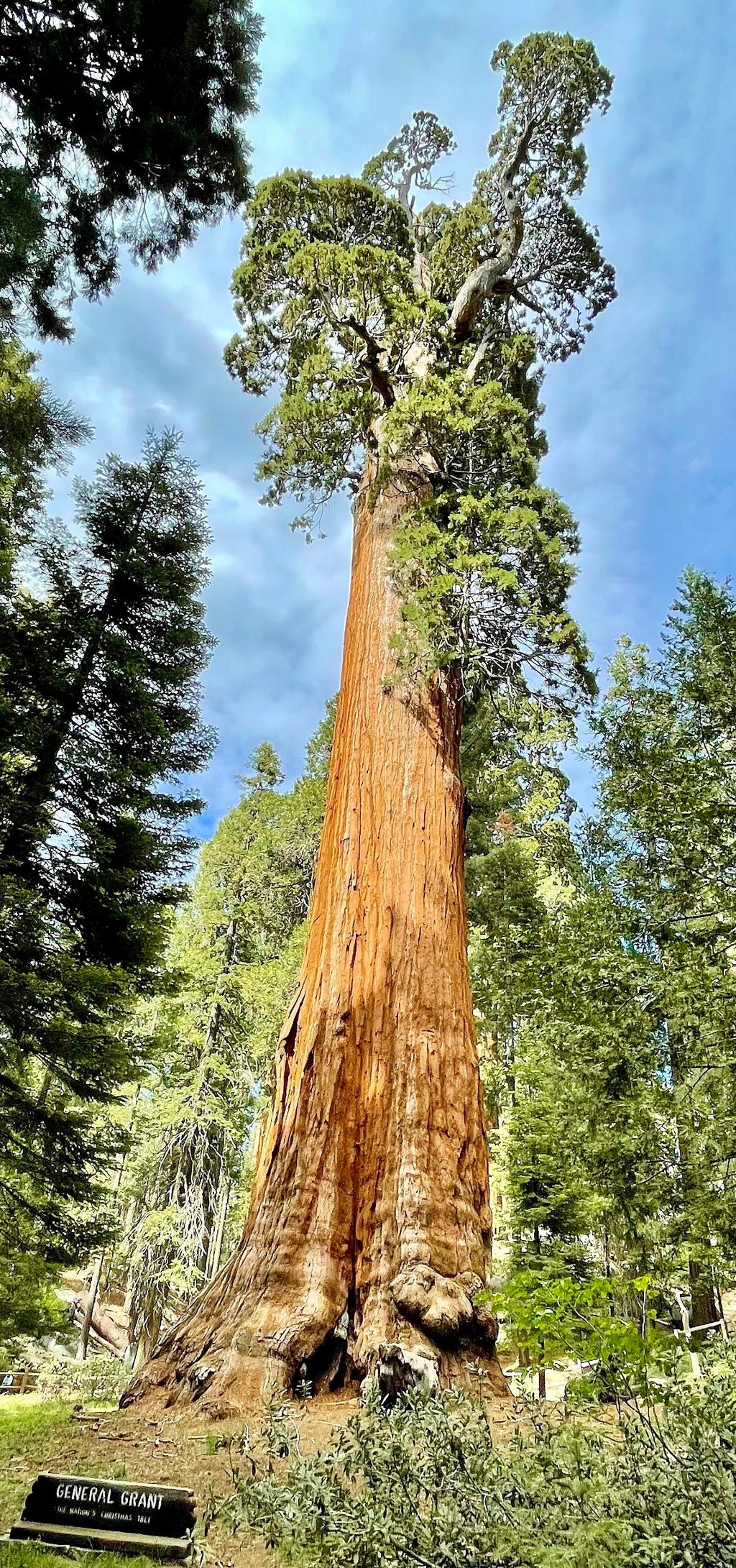
Easy
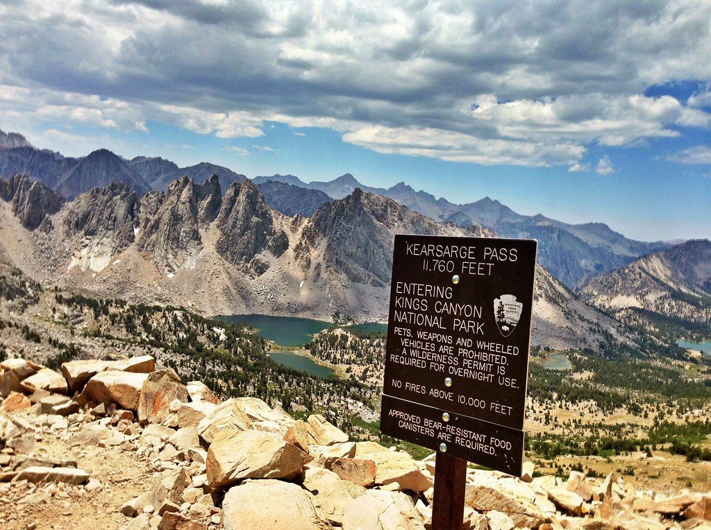
Challenging

Parkwolf Tour Guide
