Best time to visit
- Early morning is ideal: cooler temps, better animal activity, soft light, and easier to snag a shaded table for a skottel breakfast.
- Late afternoon offers another active window and warm, flattering light at the lookout.

Picnic area · Kruger National Park
Shady picnic stop with a stellar river lookout near Satara
Overview
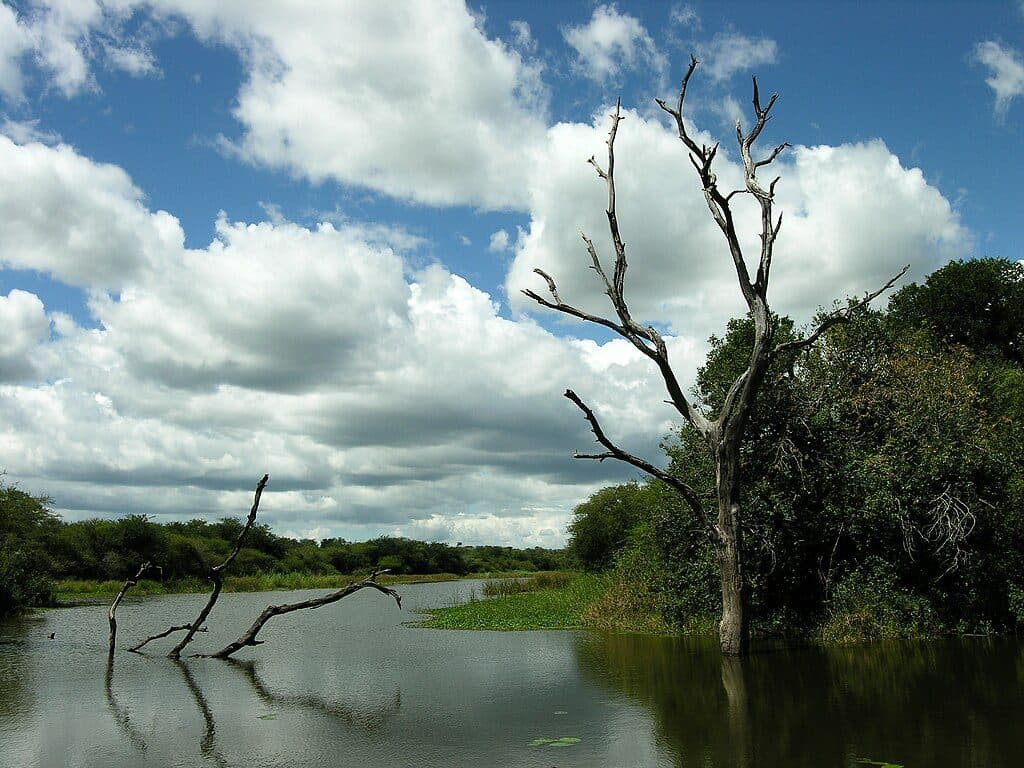
Tucked at the end of the H6 about 25 km from Satara, N’wanetsi is a classic Kruger breakfast stop with a twist: a short stone path leads to a beautifully thatched lookout gazing over the N’wanetsi River and wide open plains. It’s peaceful, well cared-for, and perfectly placed between productive game-viewing loops.
Map
Local know-how
Bring your own breakfast; the kiosk sells cold drinks only.
Carry small cash for skottel and gas rental.
Walk the 200 m stone path to the thatched lookout for the best views.
Do a loop: go out via the S100 (lion country) and return on the H6 tar.
Arrive early to secure shaded seating and catch peak wildlife activity.
Plan your stop

The highest, rockiest slopes around here are a summer buffet for grizzly bears.
Kruger Tour Guide
Parkwolf is a GPS audio tour guide for Kruger National Park. As you drive, it chimes in with what’s ahead: hidden gems, upcoming stops, history, geology, and wildlife, right through your car’s speakers.
See the Kruger audio tourRecorded for this place
N'wanetsi Viewpoint and Picnic Site“You're approaching the N'wanetsi Viewpoint and Picnic Site, a classic Kruger stop.”
Plays as you drive up to N'wanetsi Picnic Site in the Parkwolf Kruger Tour Guide.
More stories near here in the app
“Fantastic app with many points of information… It’s great to just turn on while you’re driving and it gives you an audio tour of the national Park. We love it!!!!”


Guide
About 200 m up a stone path is the signature viewing platform. The panorama sweeps across the river and surrounding grasslands—great for scanning with binoculars, lingering over coffee, and photography when the light is soft.
You’re in big-cat country. The S100 (N’wanetsi River Road) is a famed lion route thanks to sweet grazing grasses and year‑round water pools drawing prey and predators. The H6/S41 combination also produces consistent sightings, and the riverine setting makes for rewarding birding from the picnic area and lookout.
Wildlife
 1,312 sightingsLionMost seen around 6 AMSighting map
 727 sightingsLeopardMost seen around 5 AMSighting map
 2,403 sightingsElephantMost seen around 5 PMSighting map
 425 sightingsWhite RhinocerosMost seen around 6 AMSighting map
 547 sightingsBuffaloMost seen around 5 PMSighting map
 502 sightingsWild DogMost seen around 6 AMSighting map
Sighting maps show where each species has been reported across Kruger. Wildlife moves, so no sighting is guaranteed.
Keep exploring
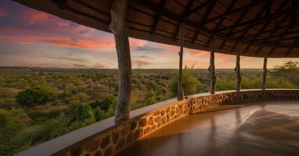 Sight · 0.1 km awayN'wanetsi Gorge ViewpointRoofed cliffside lookout over the N'wanetsi River and Lebombo hills
 Lodging · 0.7 km awaySingita Lebombo LodgeDesign-forward private-concession lodge with epic river views
 Sight · 1.8 km awaySweni Bird HideQuiet river hide for close birding and occasional big-game moments
Parkwolf’s Kruger ranking

The audio tour guide for the drive, plus offline maps, trails, and wildlife heatmaps for when the signal drops.