
Place · 1.1 mi away
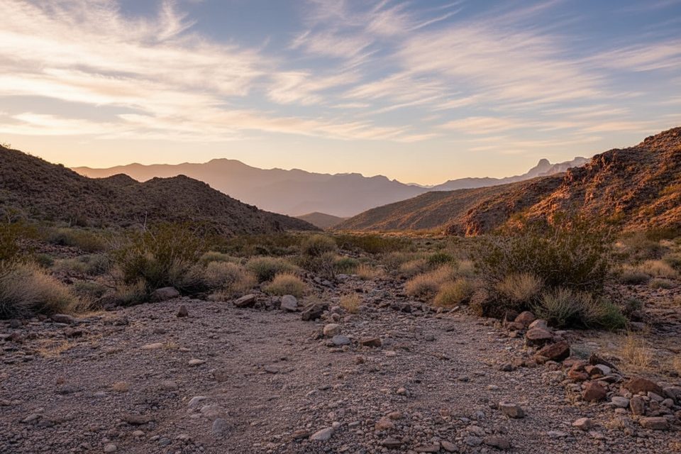
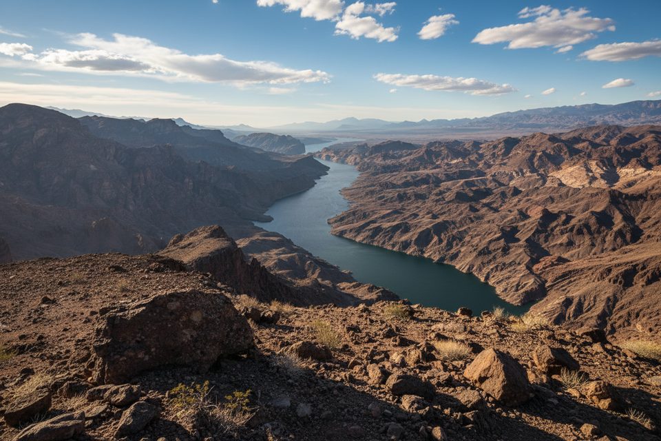
Burro Wash is a rough powerline/service road that runs from the Boulder City area down to the Colorado River in Black Canyon. Most visitors drive it rather than hike the whole thing—it’s long, exposed, and better suited to capable vehicles. The payoff is a secluded, beachy cove on the river and wide‑open Mojave scenery en route.
Expect a bumpy first half with rocks and a shelf road dropping into the valley, then a winding track through mountains and washes to the river. The final stretch can feel technical. High‑clearance is a must; low‑range 4x4 is helpful, especially when climbing back out through soft sand. In the wash, deep sand can bog you down—many drivers find turning off traction control helps. Conditions change after storms, and the road surface has seen grading in recent years, but it can degrade quickly.
The road ends at the Colorado River with small open areas where people park and sometimes camp. Shorelines here shift, so don’t crowd the edge; flows and water levels can change. Summer brings inviting water but also serious heat—treat this as a remote backcountry spot with no amenities.
If you’re on foot, you can wander side canyons and ridges above Black Canyon, but this is off‑trail country for experienced parties. Expect occasional obstacles like dryfalls (one notable drop is around 30 feet) and Class 2–3 scrambling on nearby peaks. Navigation and judgment matter here.
Keep an eye on the cliffs and open slopes for desert bighorn sheep. You’ll also pass classic desert flora in a stark, photogenic landscape.
There are no restrooms, water, or trash service on this route. As of November 18, 2025, NPS rules require you to contain solid human waste within 1/4 mile of the lakeshore or springs—use an approved bag system or a portable toilet and dispose of it properly. Cell service is intermittent; go self‑sufficient with extra water and a full‑size spare/recovery kit.
Go fall through spring for manageable temperatures. In summer, heat is dangerous. Start early for cooler conditions and better light, and plan extra time—the last half‑mile can slow you down.
Access begins near the Mead Substation in Boulder City and follows powerlines toward the river. The route is open to high‑clearance 4x4s, SUVs, side‑by‑sides, ATVs, and dirt bikes. There are no facilities along the way.
Place · 1.1 mi away
Place · 2.6 mi away
Place · 3.2 mi away
Place · 3.2 mi away
Challenging · 9.5 mi away
Challenging · 9.5 mi away
Moderate · 9.5 mi away
Easy · 9.7 mi away

Parkwolf Tour Guide
