
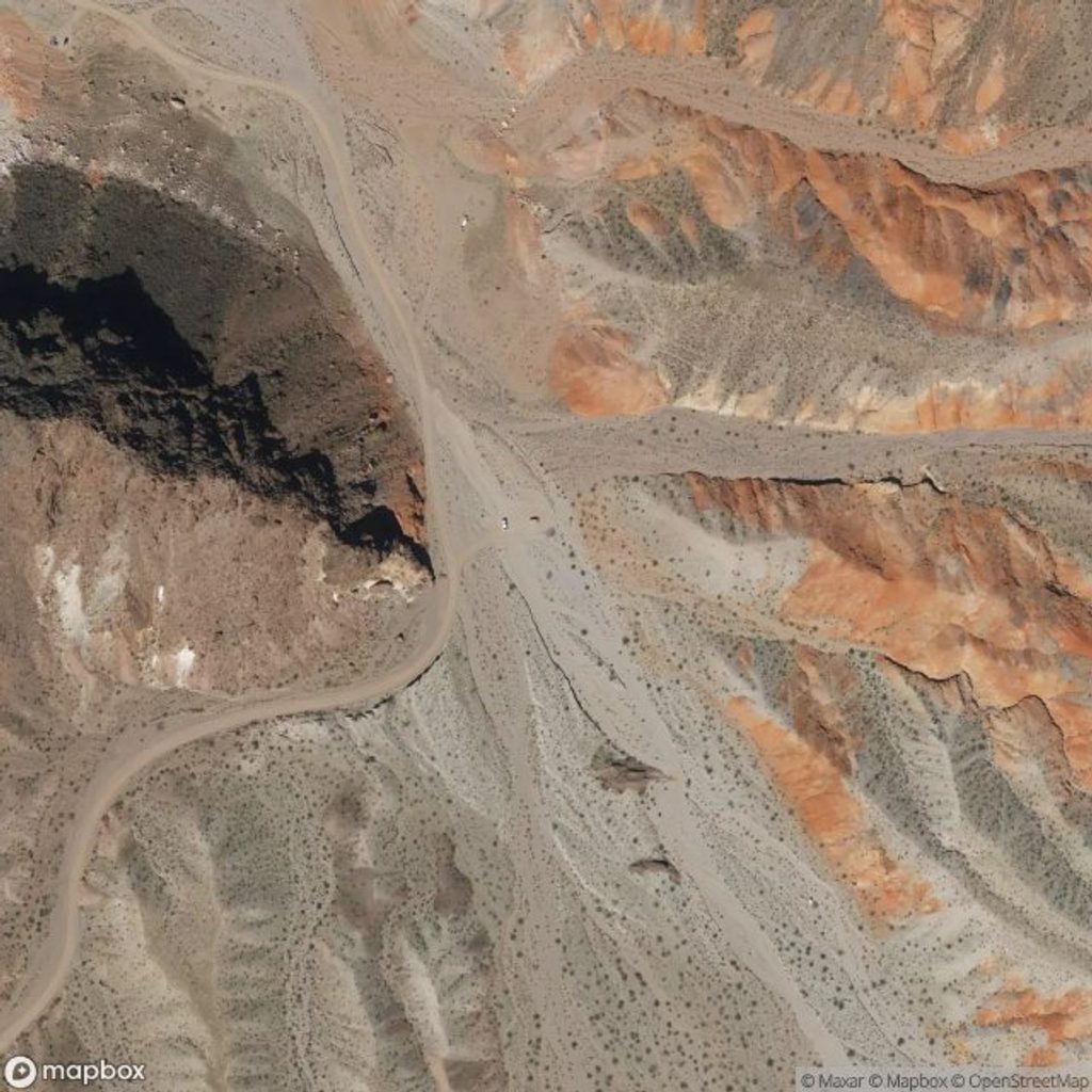
Place · 1.5 mi away
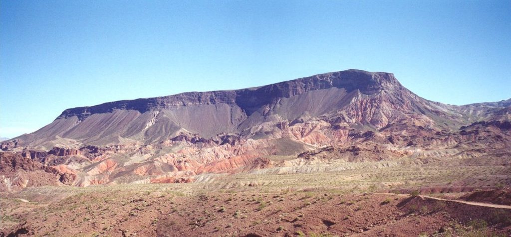
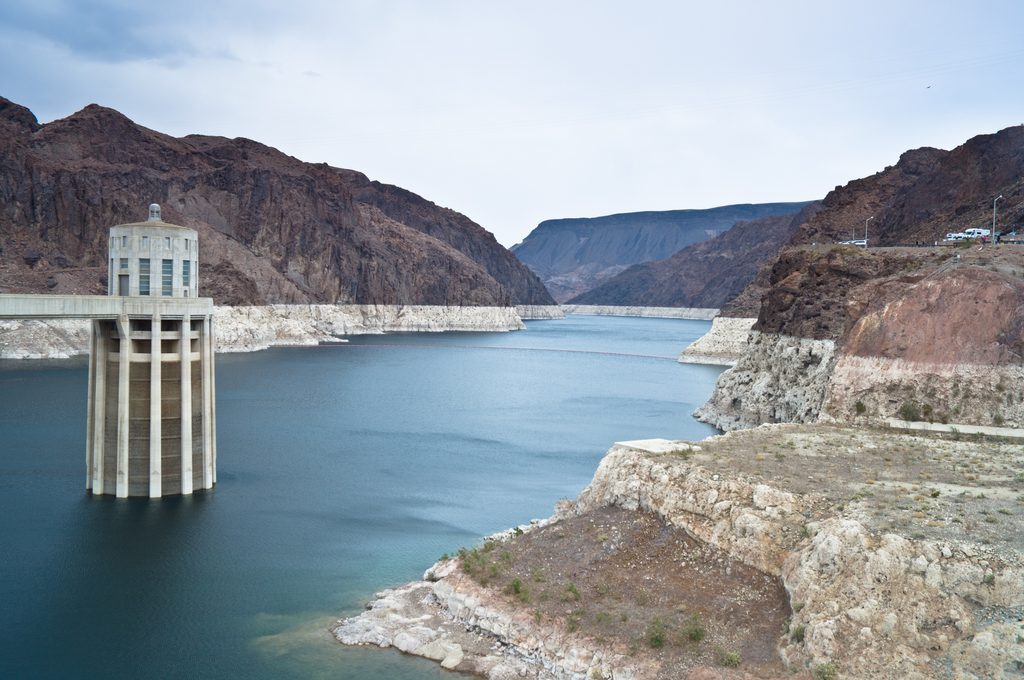
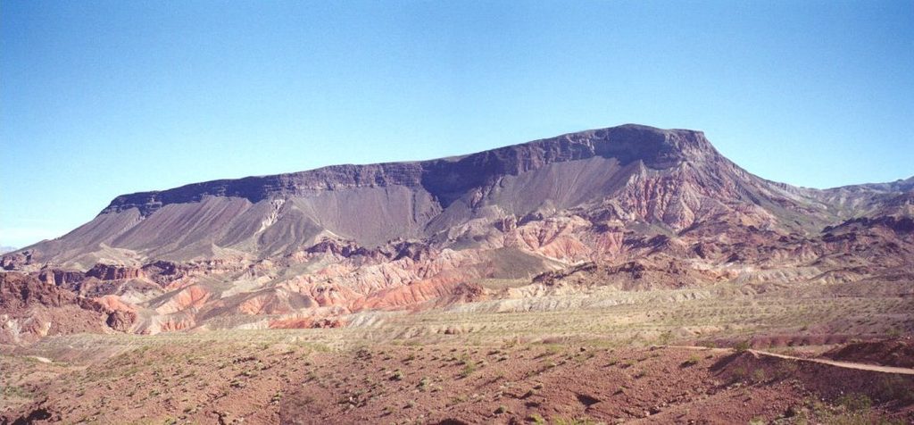
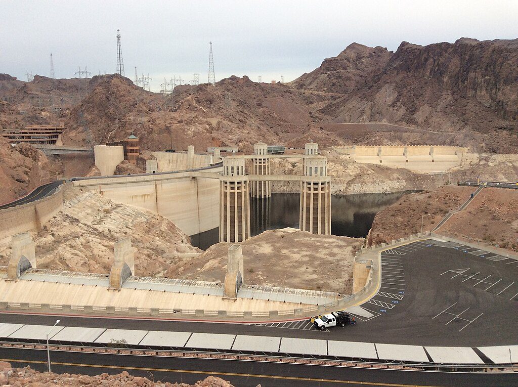
A striking basalt-capped mesa northeast of Hoover Dam, Fortification Hill dishes out big views for those willing to work for them. From the flat summit you can scan Lake Mead, the dam and the Mike O'Callaghan–Pat Tillman Bridge, with broad Mojave Desert horizons. If you like steep, rugged desert climbs, this is your pick.
Expect about 3.5–4.0 miles round trip with roughly 1,400 feet of gain, rated hard thanks to loose volcanic rock, steep stretches, and a brief scramble near the cliff band. Most hikers take 2–4 hours. Dogs are allowed on leash, but only trail-experienced pups should attempt the rocky sections. The descent can feel spicier than the climb because of the ball-bearing footing.
From the informal trailhead, you work up to the base of a volcanic cliff band, traverse to a break for a short scramble, then climb a gully to gain the broad mesa top. Cross the plateau to the high point for the payoff views of Lake Mead, Hoover Dam, and the bridge.
Access is via Kingman Wash Road, an unpaved and rough track; plan on about 4 miles of dirt driving and limited cell service. High-clearance is strongly recommended. Parking is a small, free dirt pullout with no services. There are no restrooms or water at the trailhead; reported toilets are roughly 2 miles farther south along the road. This hike sits inside Lake Mead National Recreation Area, so standard entry fees or a pass apply.
Go in the cooler months—fall (October–November) and spring (March–April). Summers can be brutally hot, so start at dawn if you go then. Winters are generally mild but can be windy on the exposed mesa. Weekday mornings mean fewer people, and sunrise or late afternoon brings the best light for photos.
This is a fully exposed desert hike with reflective lava rock—start early, carry plenty of water (think multiple liters per person even in cool seasons), and wear sturdy footwear. Trekking poles help on the loose, steep sections. Download offline maps since coverage is spotty, and avoid stormy days due to flash-flood potential in washes. Keep dogs leashed and pack out everything.
Fortification Hill is the eroded top of an extinct volcano, a mesa capped by Tertiary basaltic lava flows. Rugged lava rock, jagged cliffs, and the surrounding basin-fill deposits tell the story of an older landscape reshaped by faults and the arrival of the Colorado River.
Place · 1.5 mi away
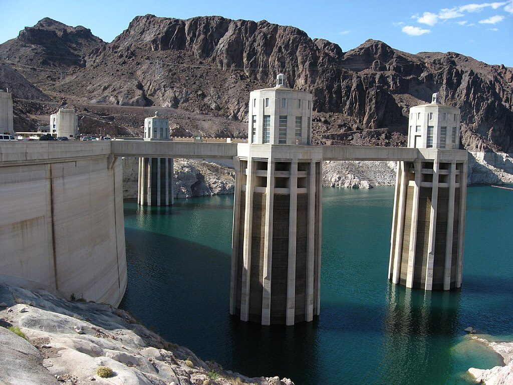
Place · 3.5 mi away
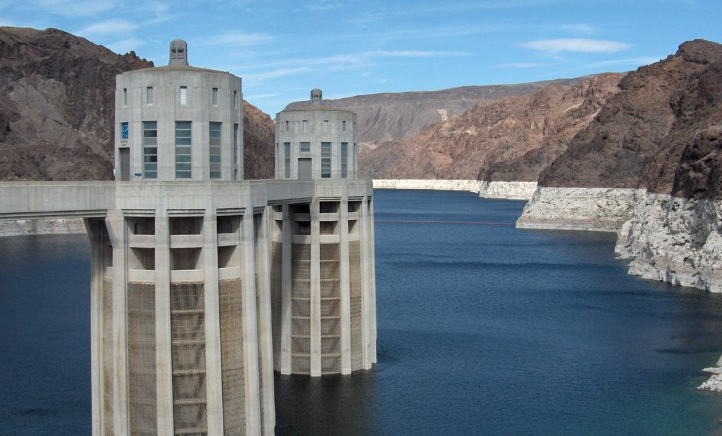
Place · 3.7 mi away
Place · 3.7 mi away
Challenging · 1 mi away
Moderate · 3.7 mi away
Easy · 4.4 mi away
Challenging · 4.5 mi away

Parkwolf Tour Guide
