Parking
Park at the roadside pullout at Fortification Hill Trailhead. Reach it from the Arizona side via Kingman Wash Road and Fortification Hill Road, both unpaved.
#6 of 42 trails in Lake Mead
Lake Mead National Recreation Area, AZ · NV
A steep desert climb to Lake Mead’s volcanic summit.
Overview
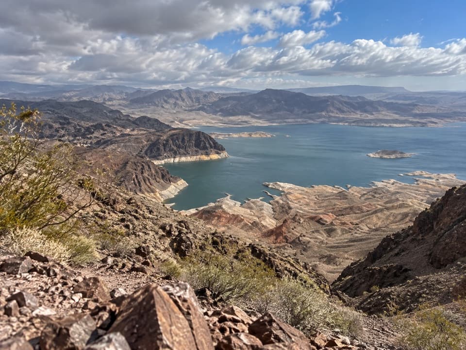
Fortification Hill Trail is a roughly 4-mile out-and-back on Lake Mead’s Arizona side, climbing from the road-access trailhead through a desert wash and ridges to the basalt-capped summit mesa of an extinct volcano. Expect about 1,400 feet of ascent and 3 to 4 hours on the route. It is a half-day hike with a bigger commitment than the mileage suggests: most of the climbing is steep, the tread is loose or faint in places, and the summit approach includes an exposed hands-on scramble. Choose it for the unusual summit and wide lake-and-mountain views, not for easy walking.
 Parkwolf’s verdictIs this the hike for you?
Map & elevation
Plan your hike

The highest, rockiest slopes around here are a summer buffet for grizzly bears.
Lake Mead Tour Guide
Parkwolf is a GPS audio tour guide for Lake Mead National Recreation Area. As you drive, it chimes in with what’s ahead: hidden gems, upcoming stops, history, geology, and wildlife, right through your car’s speakers.
See the Lake Mead audio tourRecorded for this trailhead
Kingman Wash Beach and Fortification Hill“You're nearing the access for Kingman Wash Beach, with the lakeshore farther along a rough, unpaved road. Plan on a high-clearance four-wheel-drive vehicle for that approach.”
Plays as you drive up to this trailhead in the Parkwolf Lake Mead Tour Guide.
More stories near here in the app
“Fantastic app with many points of information… It’s great to just turn on while you’re driving and it gives you an audio tour of the national Park. We love it!!!!”


Trail guide
Fortification Hill rises north of the trailhead. The path forks after roughly 100 feet: the gentler wash line starts just left of the steeper ridge use-trail. Follow the wash along the base of the ridge. After about seven-tenths of a mile, a path climbs roughly 40 feet out of the wash to meet the ridge route. Cairns help, but several tracks can look plausible; keep to the right side of the wash and pay attention to the route on the way up so you can find it again on descent. The distance here is the full trailhead-to-summit outing and back, not the separate, much longer Fortification Ridge hike.
From the oddly placed volcanic boulders often called the “funny rocks,” the route turns west toward a basalt wall. At its base is a short, roughly 10-foot third-class scramble over exposed rock and loose gravel. Ledges and a steep rocky gully follow; the whole headwall takes only several minutes, but this is the part to judge honestly before committing. Keep your hands free, move deliberately, and take extra care coming down, when the loose surface is harder to manage. If exposed scrambling is outside your comfort zone, turn around before the wall.
Above the gully, the slope eases and the route follows the mesa’s south edge west. A short overlook spur faces back across much of the ascent. The main path then leaves the edge and climbs gradually among summit boulders; it can fade into the rocks, so look for cairns and keep your return line in mind. At the top, Lake Mead spreads below the dark rim, with desert ranges on the horizon. For a photo, include the rough summit rocks in the foreground and the water beyond them; the near edge gives the panorama a sense of scale.
Fortification Hill is one of the area’s basalt-capped mesas, formed when eruptions covered a landscape whose crust had stretched and thinned. The route stays in Mojave Desert scrub, where low creosote, white bursage, broom snakeweed, and cheesebush grow among the rocks. The “funny rocks” look arranged, but their placement appears natural.
Reach the trailhead from the Arizona side via Kingman Wash Road and Fortification Hill Road, both unpaved. This is remote backcountry access, so allow time for the drive and check road access before setting out; vehicle clearance requirements are not confirmed. Lake Mead requires an entrance pass. Carry water and food for the outing; no services on the route are confirmed. Pets are allowed on park hiking trails on a leash no longer than six feet, but the exposed headwall is a poor fit for many dogs.
Wildlife
 525 sightingsBighorn SheepMost seen around 5 PMSighting map
 116 sightingsBurroMost seen around 7 PMSighting map
 18 sightingsBald EagleMost seen around 4 PMSighting map
 99 sightingsWhite PelicanMost seen around 7 AMSighting map
 145 sightingsGreat Blue HeronMost seen around 7 AMSighting map
 106 sightingsTurkey VultureMost seen around noonSighting map
Sighting maps show where each species has been reported across Lake Mead. Wildlife moves, so no sighting is guaranteed.
Keep exploring
 ModerateSugarloaf Overlook Trail3.1 mi · 2.5 hr · 3.7 mi awayOld dam roads, sandy washes, and a Colorado River overlook.
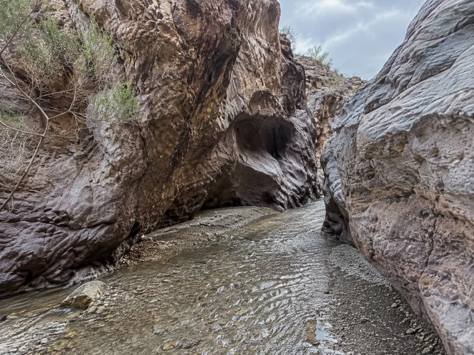 ChallengingArizona Hot Spring Trail5 mi · 6 hr · 4 mi awayA rough desert traverse ends at hot pools in a slot canyon.
 ChallengingHorse Thief Canyon Trail8.8 mi · 5 hr · 4 mi awayA long dirt-road walk to two green springs in Horse Thief Canyon.
 ChallengingWhite Rock Canyon Trail6.5 mi · 6 hr · 4 mi awayThe rocky wash opens at the Colorado River.
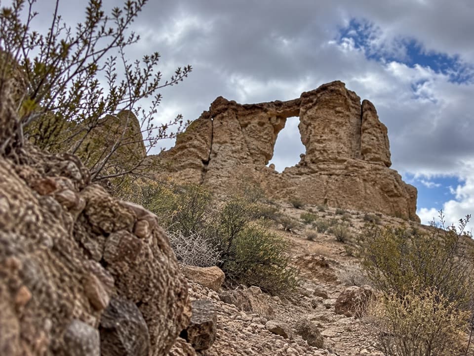 ChallengingLiberty Bell Arch Trail5.5 mi · 6 hr · 4 mi awayA long, rough wash hike to an arch and river rim.
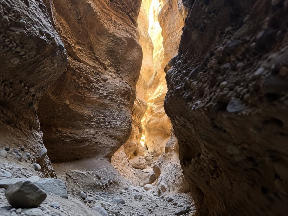 EasySpooky Canyon Trail1 mi · 1.3 hr · 4 mi awayA dark slot winds beneath a sculpted stone portal.
 ModerateBoy Scout Canyon Trail3.6 mi · 3.5 hr · 7 mi awayA sandy volcanic wash ends above a 330-foot plunge.
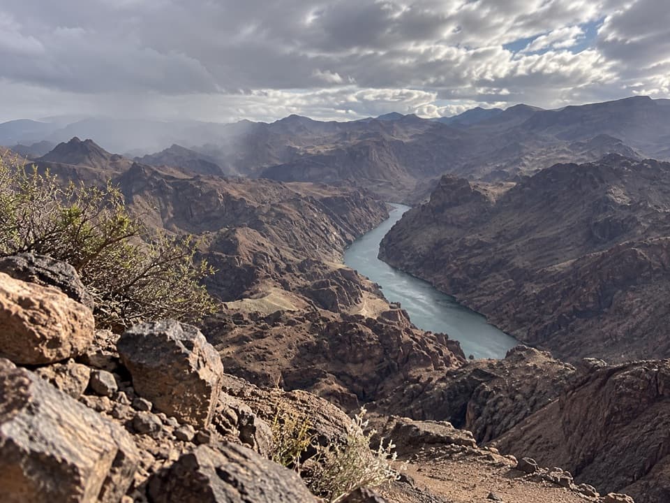 ChallengingColorado River Overlook Trail3.6 mi · 3.8 hr · 7 mi awayA river overlook reached by a rough wash, loose ridge, and scramble.
 Beach · 2.3 mi awayKingman Wash BeachA desert cove that rewards the rough drive with open water.
 Sight · 4 mi awayHoover DamWalk the crest; a tunnel tour shows how the dam works.
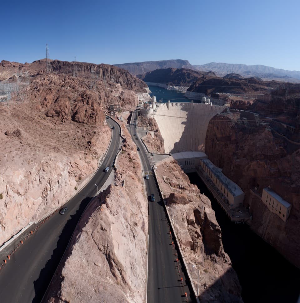 Sight · 4.4 mi awayMike O’Callaghan–Pat Tillman Memorial BridgeA dam view from a walkway perched high above the Colorado River.
 Sight · 4.7 mi awayGold Strike Hot SpringsWarm pools tucked in a canyon, earned by a serious scramble.
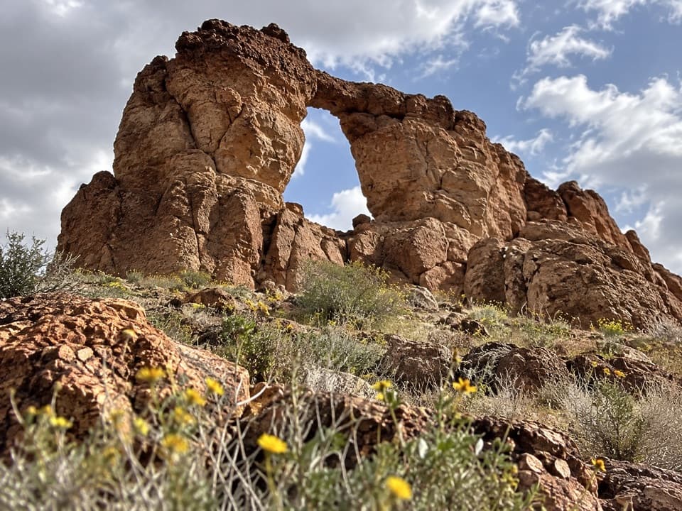 Sight · 5.1 mi awayLiberty Bell ArchA bell-shaped arch on a long, exposed desert hike.
 Sight · 5.3 mi awayLakeview Scenic OverlookA quick lake-and-desert panorama on the way to Hoover Dam.
 Restaurant · 5.5 mi awayThe Boat House Bar & GrillA floating restaurant and bar with views over the harbor and lake.
 Restaurant · 5.7 mi awayHarbor House CaféDine above the slips with lake and desert ridges in view.
Parkwolf’s Lake Mead ranking
The audio tour guide for the drive, plus offline maps, trails, and wildlife heatmaps for when the signal drops.