
Place · 2.7 mi away
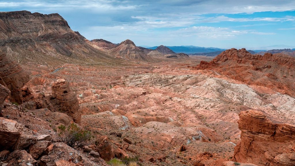
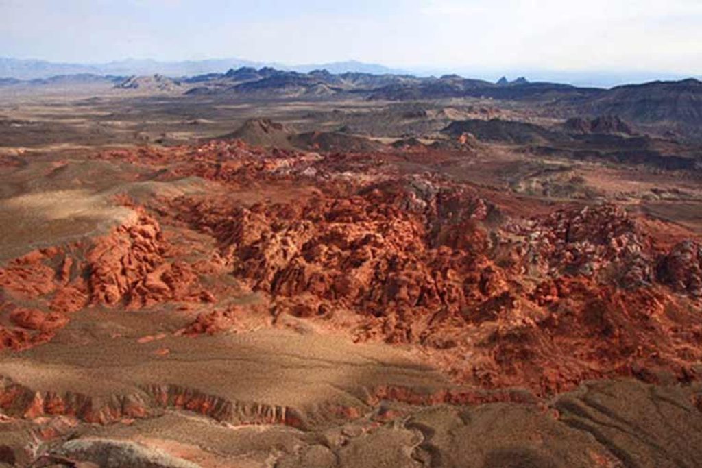
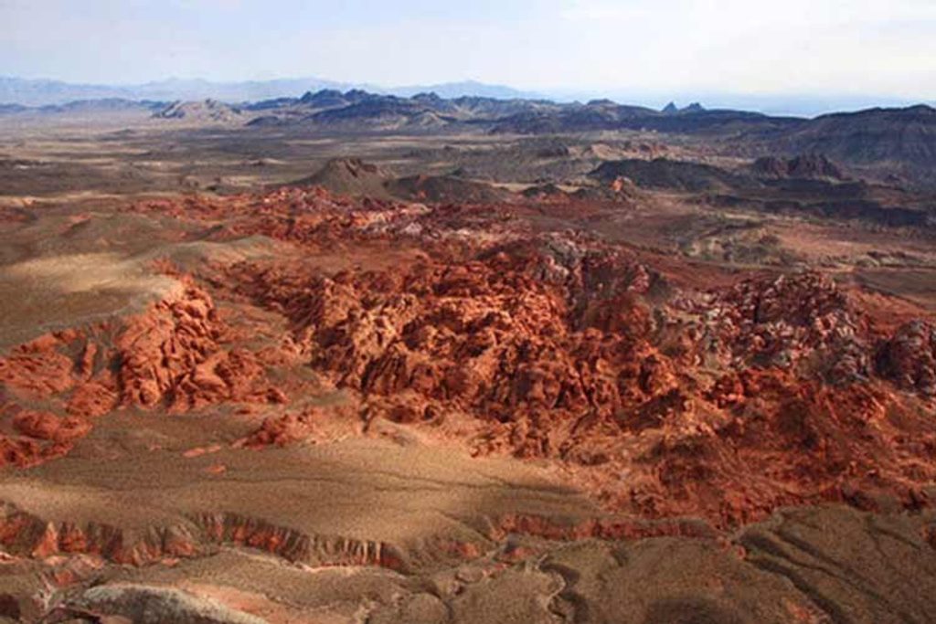
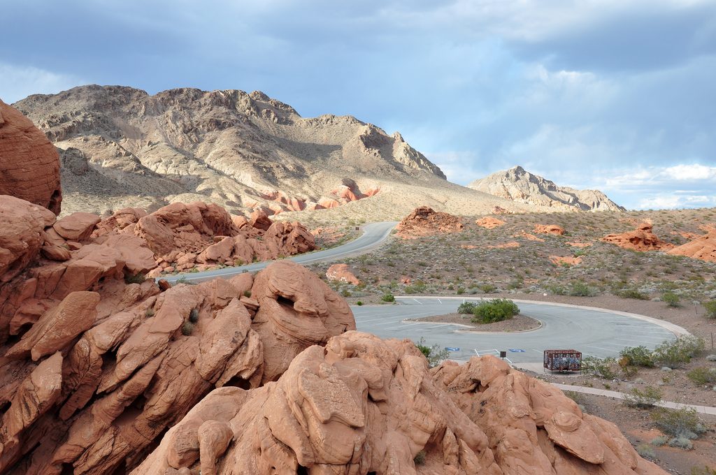
Pinto Valley Wilderness is the wild, empty corner of the desert where you go for big color and bigger quiet. Think crimson and ochre ridges, badlands-style slopes, and broad washes that invite you to wander. It’s designated wilderness inside the recreation area, so expect self-reliance over signage.
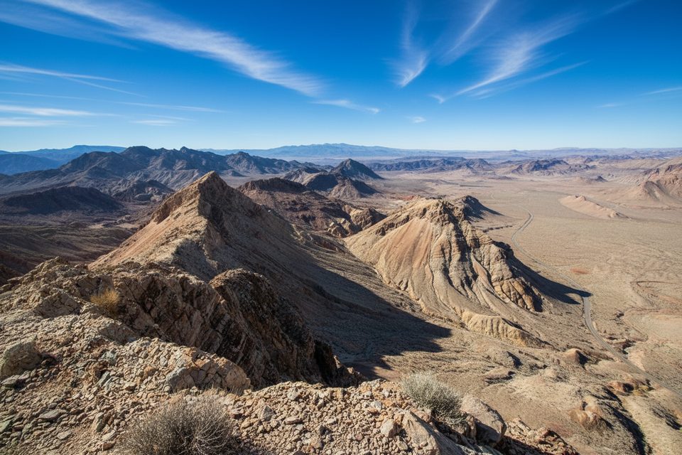
The valley’s palette swings from rust to gold, with tilted sediment layers exposed in wash walls. Side canyons hide photogenic arches, and long views take in landmarks like Pinto Ridge and Sentinel Peak. Sunrises and sunsets punch up the reds—bring a camera.
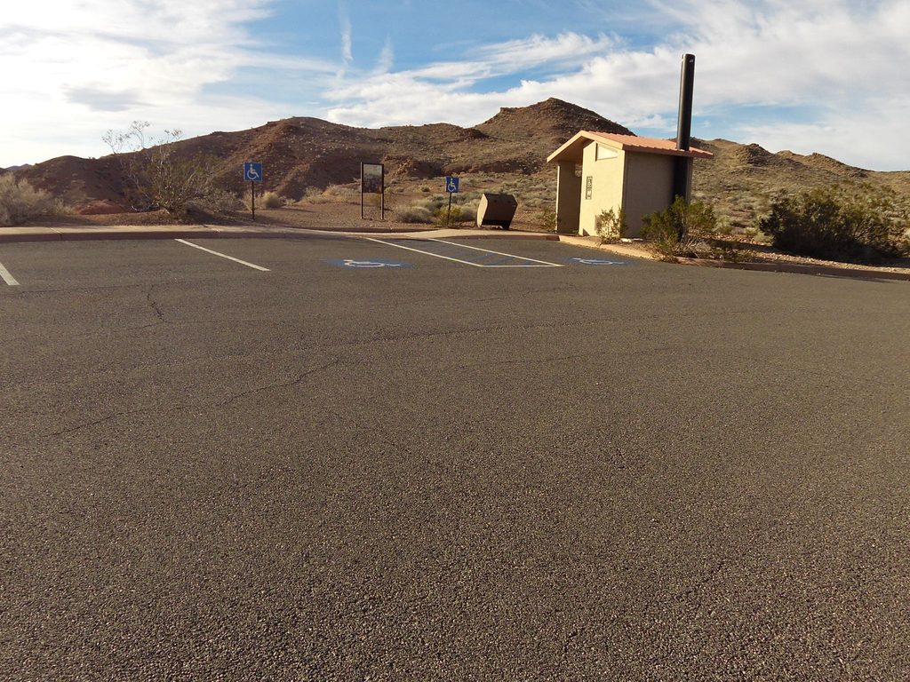
Most people access from Northshore Road. The simplest start is the Northshore Summit Trail parking lot about a half mile east of mile marker 20; there’s a bathroom and trash cans there. Beyond that lot you’re in backcountry mode—no facilities. A general entrance fee applies to the recreation area, but there’s no wilderness-specific permit.
There’s a mapped point-to-point route (about 10.6 miles/17 km, commonly 4–4.5 hours) through the valley, but tread fades and washes braid. Much of the area is intentionally untrailed, which is the charm if you’re comfortable navigating. For backpackers, 2–3 day loops link Pinto Ridge, the main valley washes, and camps with wide views of Sentinel Peak.
Footing can be sketchy—much of the “rock” is crumbly sediment. The descent off Pinto Ridge includes a choke point with wedged boulders; savvy hikers backtrack and bypass on a rib to the east rather than forcing the chute. Shade is scarce, wind can be a factor, and aircraft noise is common. Water sources like Cottonwood and Sandstone springs are unreliable; plan to carry everything.
Dispersed backcountry camping is allowed; expect little to no natural shade and no established sites. Follow Leave No Trace. Fire rules change—check current restrictions before you go.
Birders do well here, and desert mammals leave their signatures—bobcat tracks have been noted. You may see signs of desert tortoise; observe only and leave everything in place.
Dogs are allowed and may be off-leash in some areas, but confirm current rules before you go. Download offline maps and bring a backup (paper map/compass). A satellite communicator is smart insurance in this signal-light landscape.
Open year-round, but the sweet spot is the cooler months. Start at dawn to bank miles before the heat, and plan golden-hour time for photography. Weekdays see even fewer people, and sunrise/sunset light makes the colors pop.
Place · 2.7 mi away
Place · 4 mi away
Place · 4.5 mi away
Place · 5.1 mi away
Moderate · 2.7 mi away
Moderate · 2.7 mi away
Moderate · 2.8 mi away
Easy · 4.5 mi away

Parkwolf Tour Guide
