Parking
Northshore Summit Trailhead lot just past milepost 20 on Northshore Road; accessible spaces and pit toilets are available. Park admission is required.
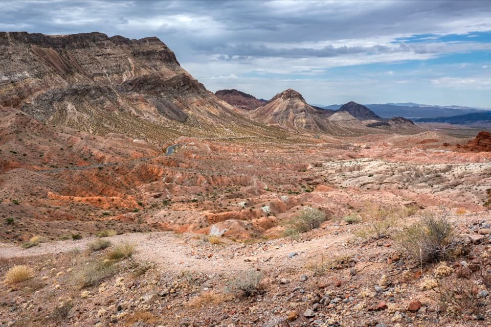
Lake Mead National Recreation Area, AZ · NV
A short loop climbs to banded desert views over Bowl of Fire.
Overview
Map & elevation
Plan your hike

The highest, rockiest slopes around here are a summer buffet for grizzly bears.
Lake Mead Tour Guide
Parkwolf is a GPS audio tour guide for Lake Mead National Recreation Area. As you drive, it chimes in with what’s ahead: hidden gems, upcoming stops, history, geology, and wildlife, right through your car’s speakers.
See the Lake Mead audio tourRecorded for this trailhead
Northshore Summit: A Short Desert Panorama“You're coming up on Northshore Summit trailhead, a good choice for a short hike among the colored desert ridges. The loop is about six-tenths of a mile, but allow an hour for steep, loose ground and exposed summit edges.”
Plays as you drive up to this trailhead in the Parkwolf Lake Mead Tour Guide.
More stories near here in the app
“Fantastic app with many points of information… It’s great to just turn on while you’re driving and it gives you an audio tour of the national Park. We love it!!!!”


Trail guide
Northshore Summit Trail is the short signed loop off milepost 20.6 on Northshore Road. It follows a natural-earth path up a low ridge and circles the hilltop for a wide desert panorama. The mapped circuit is about 0.6 mile, including the shared approach out and back; allow about an hour. One arm climbs steeply over loose gravel, so the short distance does not make this an easy stroll. It suits a brief outing if you are comfortable on rough, exposed ground.
The approach rises gently before reaching the loop junction. One arm takes a shorter, steeper line onto the ridge; the other traverses more gradually. They circle the hilltop and meet again at the upper junction. To finish the circuit, follow the right-hand descending arm down the gentler eastern slope, cross the low saddle, and return on the original approach. The route continuing north at that junction heads toward the separate Bowl of Fire North hike.
The summit is a small, open perch above the desert. Look north to the Muddy Mountains, east across Bitter Springs Valley and the Overton Arm, south toward Northshore Peak, and west to the Bowl of Fire. Only a little of Lake Mead is visible, so come for the colored ridges and eroded desert rather than a lake panorama. For a photo, include the banded red and pale hills with the Bowl of Fire beyond them, and keep well back from the exposed edges.
West of the summit, erosion has exposed a pale gypsum dome within a folded ridge; the hilltop itself shows thin red sandstone layers and harder gray conglomerate. Chuckwallas sometimes bask among the crags in warm weather, though a sighting is never guaranteed.
Park at the Northshore Summit lot just past milepost 20 on Northshore Road. Park admission is required. Accessible pit toilets and trash receptacles are at the trailhead, but there is no drinking water. The tread is unmaintained, uneven and mostly unshaded; the ridge arm is steep and loose, and the summit has exposed edges. Carry water for the whole outing and choose cooler hours in hot weather. Dogs are allowed on leash no longer than six feet.
Wildlife
 525 sightingsBighorn SheepMost seen around 5 PMSighting map
 116 sightingsBurroMost seen around 7 PMSighting map
 18 sightingsBald EagleMost seen around 4 PMSighting map
 99 sightingsWhite PelicanMost seen around 7 AMSighting map
 145 sightingsGreat Blue HeronMost seen around 7 AMSighting map
 106 sightingsTurkey VultureMost seen around noonSighting map
Sighting maps show where each species has been reported across Lake Mead. Wildlife moves, so no sighting is guaranteed.
Keep exploring
 ChallengingNorthshore Peak East Ridge Route2.6 mi · 3 hr · At the trailheadA short, exposed ridge scramble to fossil coral and lake views.
 ModerateRazorback Wash North Trail5.4 mi · 3.5 hr · 1.2 mi awayA 5.4-mile wash traverse with a short climb and car shuttle.
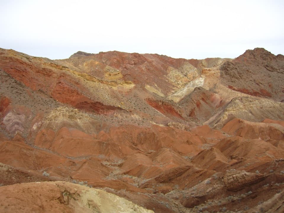 ModerateRazorback Wash South Trail6.3 mi · 5 hr · 1.9 mi awayA remote traverse through red, yellow and green mud hills.
 EasyCottonwood Spring Trail2.1 mi · 1.3 hr · 2.3 mi awayFossil ripples and a desert spring reward an easy wash walk.
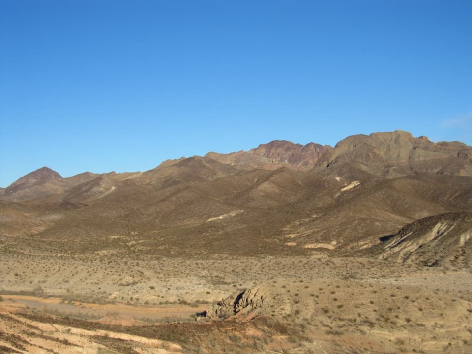 ChallengingHamblin Mountain Trail7.2 mi · 5.5 hr · 2.3 mi awayA rugged wash climb to a volcanic summit above Lake Mead.
 ModerateBowl of Fire Trail4.6 mi · 3.5 hr · 2.3 mi awayA faint desert route enters a maze of fire-red sandstone.
 ModerateAnniversary Narrows Trail5.8 mi · 3.5 hr · 4.2 mi awayA twisting, colorful slot canyon on a sun-baked 5.8-mile loop.
 ChallengingAnniversary Peak Trail9.9 mi · 7 hr · 4.2 mi awaySculpted narrows give way to a long, exposed summit ridge
 Picnic area · 6 mi awayRedstone Picnic AreaA picnic among 140-million-year-old red sandstone outcrops.
 Sight · 7.9 mi awayCallville Bay MarinaBoat rentals open a day on the lake beneath red-rock cliffs.
 Campground · 8.2 mi awayCallville Bay RV ParkFive full-hookup spaces in a marina's tiny RV village.
 Picnic area · 8.4 mi awayCallville Bay Picnic AreaEight shaded tables, grills and drinking water make lunch easy.
 Campground · 8.6 mi awayCallville Bay CampgroundA quiet desert camp base with a marina and food nearby.
Parkwolf’s Lake Mead ranking

The audio tour guide for the drive, plus offline maps, trails, and wildlife heatmaps for when the signal drops.




