Place · 0 mi away
Moderate

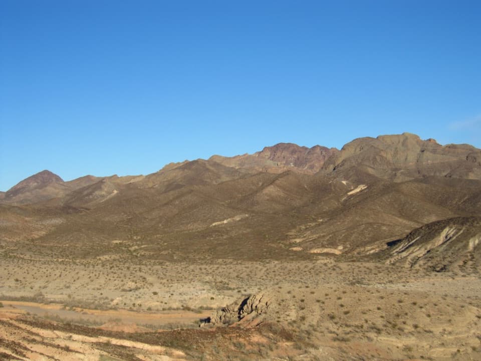
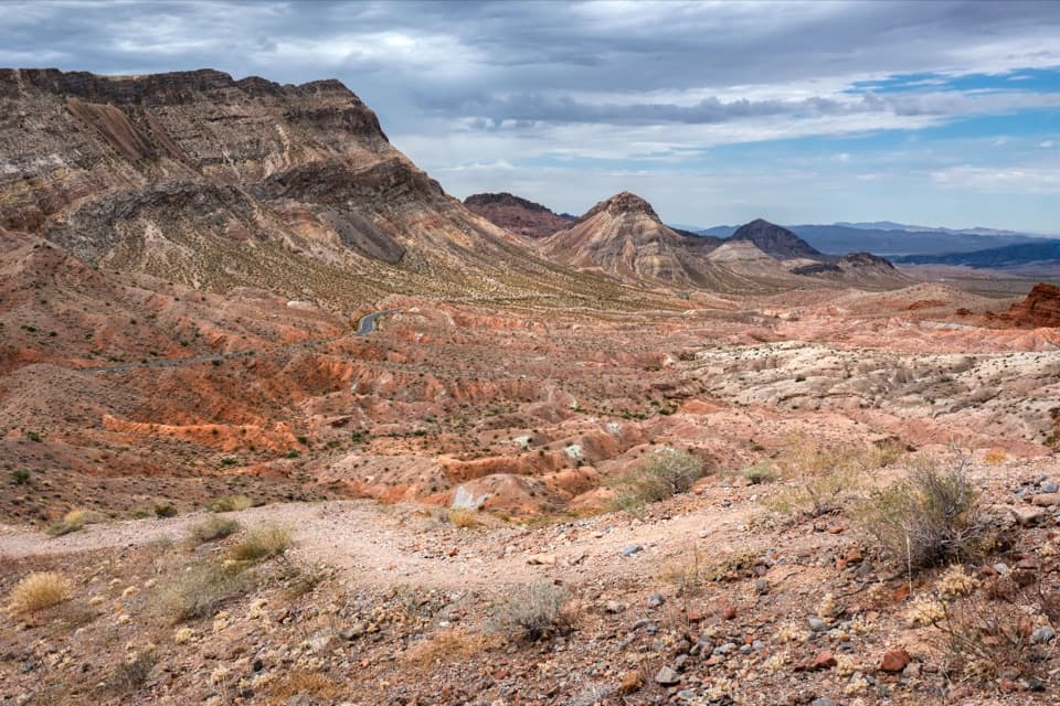
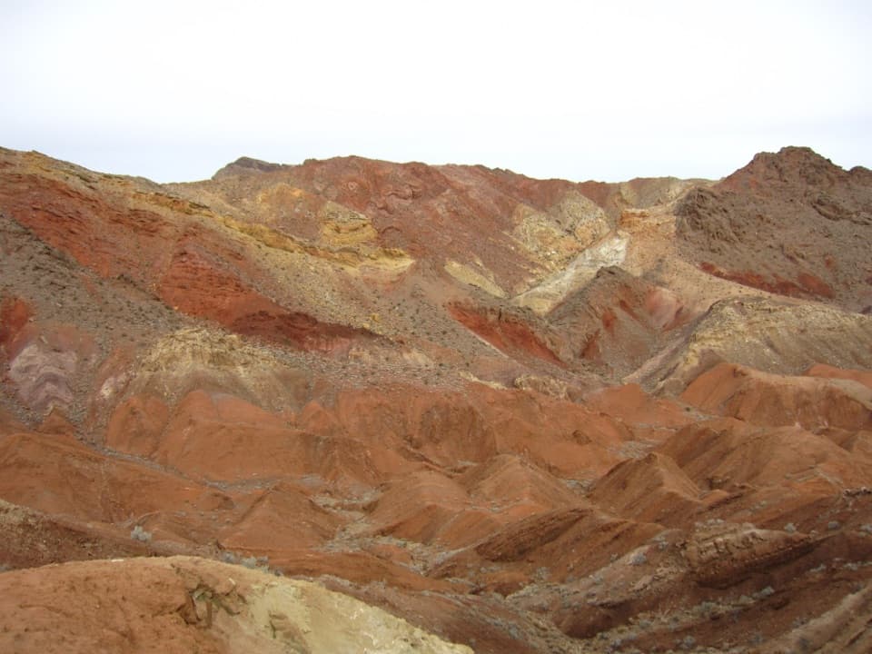
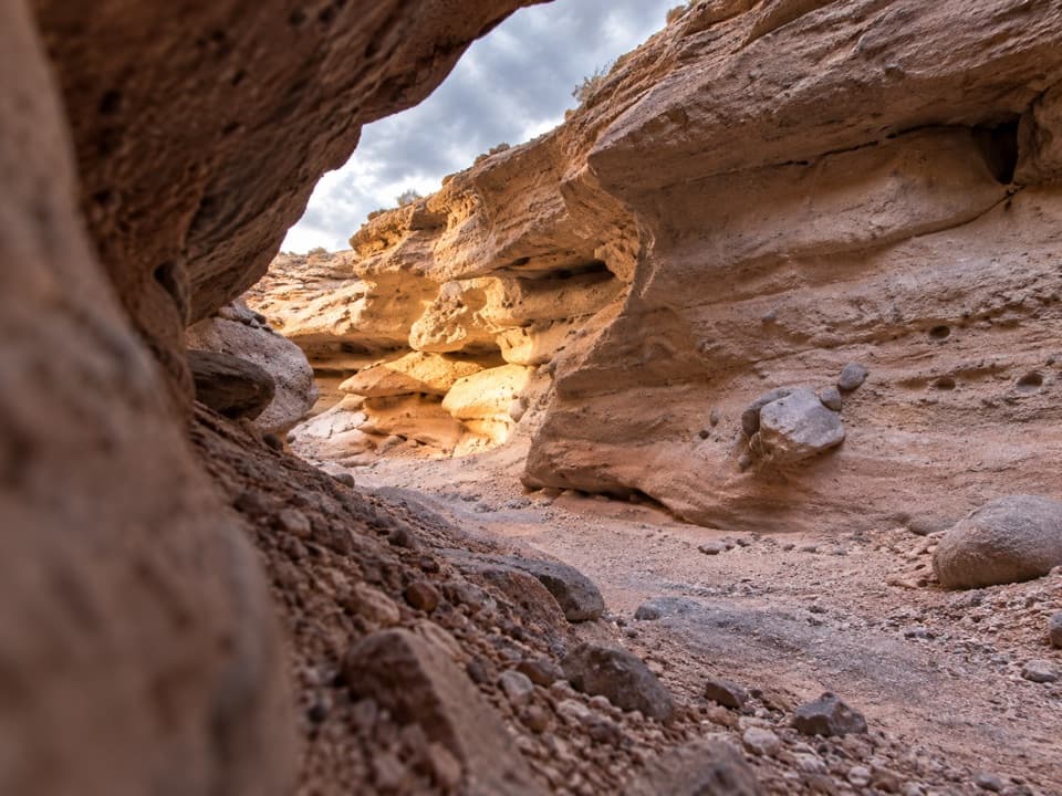
The Bowl of Fire is a remote pocket of eye‑popping Aztec sandstone set against gray limestone in the Lake Mead backcountry. Expect quiet, big‑sky desert scenery, honeycombed slickrock, and a choose‑your‑own‑adventure feel rather than a signed, built trail. The classic out‑and‑back route is 9.2 miles total with about 1,138 feet of gain and is generally rated moderate—mostly wash walking and slickrock with occasional short scrambles and loose footing.
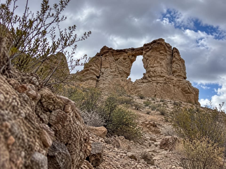
Those saturated reds and oranges come from early‑Jurassic Aztec Sandstone—ancient wind‑blown dunes lithified into the cliffs you’ll wander among. The surrounding “bowl” is older Paleozoic limestone; over time, faulting and thrusting stacked the deck so erosion could open windows into the sandstone, creating the Bowl of Fire feel. It’s a natural classroom if you like reading rock stories while you hike.
Most hikers either follow the 9.2‑mile out‑and‑back line from the Bitter Spring Valley side or build a loop using the Northshore Summit Trailhead. The loop weaves down drainages to Callville Wash, then uses faint cairned paths to enter the eastern Bowl before exiting via a southern drainage (brief Class 2+ workaround for a dryfall) or a northern drainage with narrow sections and boulder hopping. There’s also a shorter approach from mile 18.2 along Northshore Road to explore the southwest sector. However you slice it, navigation—not mileage—is the crux.
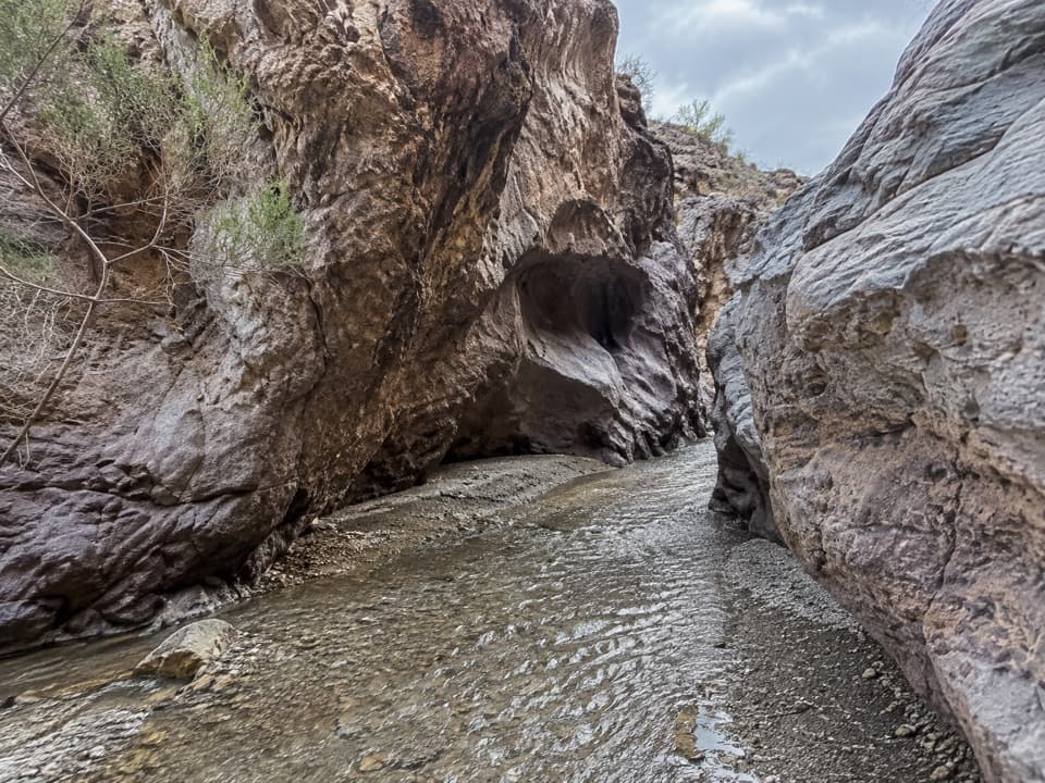
This is largely unmarked terrain with intermittent social trails and cairns. You’ll thread washes, step around pour‑overs, and roam slickrock platforms, with only occasional shade tucked into sculpted alcoves. Reviewers consistently point to tricky route‑finding and loose rock; bring a map/GPS and be ready to backtrack. Dogs are allowed on leash.
Go in the cool season, December through April. Summer heat is punishing, shade is scarce, and there’s no water on route. Cooler winter light also makes those red walls glow for photography.
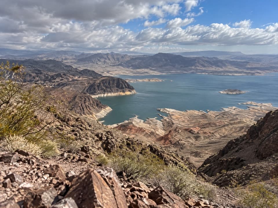
Easiest access is from paved Northshore Road: park at the Northshore Summit Trailhead (great viewpoint, pit toilets, no water) or at pullouts around mile 18.2 for the southwest sector. A rough alternative uses Callville Wash/Calville Wash North Road—high‑clearance 4WD recommended; deep sand strands vehicles and the approach can be confusing. The recreation area requires an entrance pass and operates cashless.
Plan a half to full day depending on how much you explore; allow generous time for route‑finding and photos.
Park at Northshore Summit Trailhead on Northshore Road (viewpoint, pit toilets, no water) or at pullouts near mile 18.2 for the southwest approach. High‑clearance 4WD recommended if attempting Callville Wash/Calville Wash North Road; many vehicles get stuck in deep sand.
Unmarked routes with tricky navigation, loose rock, and dryfall workarounds; fully exposed desert with no water; rough, sandy access in Callville Wash can strand non‑4WD vehicles.