Parking
Use the Redstone Picnic Area lot on Northshore Road around mile 27. The signed route starts beside the picnic tables and restrooms.

Lake Mead National Recreation Area, AZ · NV
A short loop beside ancient dunes turned to stone.
Overview
Map & elevation
Plan your hike

The highest, rockiest slopes around here are a summer buffet for grizzly bears.
Lake Mead Tour Guide
Parkwolf is a GPS audio tour guide for Lake Mead National Recreation Area. As you drive, it chimes in with what’s ahead: hidden gems, upcoming stops, history, geology, and wildlife, right through your car’s speakers.
See the Lake Mead audio tourRecorded for this trailhead
Redstone Picnic Area: Dunes Turned to Rock“Redstone Picnic Area is just ahead, with tables right beside red sandstone outcrops. I'd stop here for a picnic and a short wander among the rocks.”
Plays as you drive up to this trailhead in the Parkwolf Lake Mead Tour Guide.
More stories near here in the app
“Fantastic app with many points of information… It’s great to just turn on while you’re driving and it gives you an audio tour of the national Park. We love it!!!!”


Trail guide
Redstone is a mostly level, 0.56-mile loop from the picnic area around a red sandstone crag. The dunes that became this rock formed about 140 million years ago; their slanted layers are still visible up close. It is a good quick stop for geology and a close look at the rock, not a summit hike. Allow about an hour if you take your time at the signs and formations.
Some current trail information lists 1.1 miles round trip, while the trail’s GPS waypoints and the complete mapped circuit measure about 0.52–0.56 mile. This guide uses the closed loop around the crag; follow the signs on site and allow extra time if a washout has shifted the visible tread.
Start beside the picnic tables and restrooms and take the short concrete approach around the left side of the formation. The signed trail heads south into loose sand and gravel. It is unmaintained, and flash floods can wash away parts of the outbound tread. Keep going south-southeast toward the east, or left, side of the large crag until you pick up the path again. The loop skirts its east side, rounds the southeast corner, passes behind it, and returns through the picnic area. The walk is nearly level, with about 80 feet of elevation change, but don’t expect a continuous built trail. The rocks invite climbing; that is separate from the walking route, so stay on the loop.
These red formations began as desert dunes about 140 million years ago. Geologic forces hardened the sand into sandstone, leaving slanted bands that show how the dunes were laid down. The red crag stands out against the darker, gray-brown mountains around it. For a photo, keep some of that darker ridge behind the red layers; the contrast shows the rock’s shape better than a tight crop.
When wind smooths the loose sand, small tracks can show where kangaroo rats, pocket mice, lizards, beetles, or snakes have crossed. Kangaroo rats leave paired footprints with a tail mark between them. These are possible signs to look for, not guaranteed sightings.
Park at Redstone Picnic Area on Northshore Road around mile 27. The lot, covered picnic tables, accessible pit toilets, and trash receptacles are beside the start; drinking water is not available. The posted duration range is broad at one to four hours, so give yourself at least an hour if you want to read the geology signs and look around. A park admission fee applies and no reservation is required. Dogs are allowed on leash no longer than six feet. Summer heat is serious here, so bring all the water you need and choose a cooler part of the day.
Wildlife
 525 sightingsBighorn SheepMost seen around 5 PMSighting map
 116 sightingsBurroMost seen around 7 PMSighting map
 18 sightingsBald EagleMost seen around 4 PMSighting map
 99 sightingsWhite PelicanMost seen around 7 AMSighting map
 145 sightingsGreat Blue HeronMost seen around 7 AMSighting map
 106 sightingsTurkey VultureMost seen around noonSighting map
Sighting maps show where each species has been reported across Lake Mead. Wildlife moves, so no sighting is guaranteed.
Keep exploring
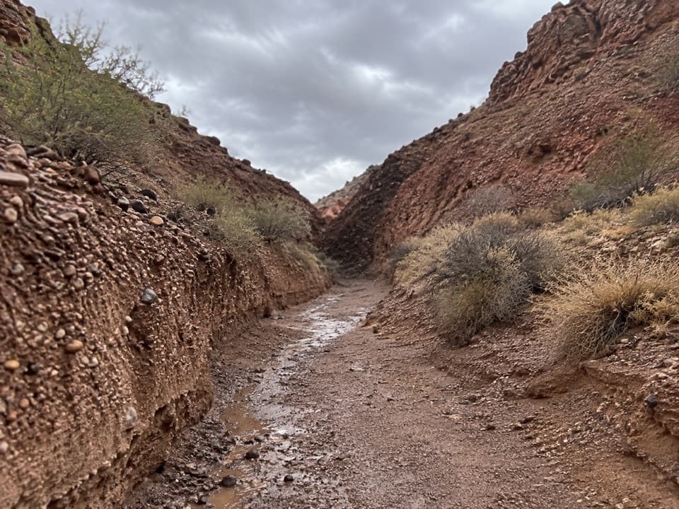 ModeratePinto Valley Route10.8 mi · 5 hr · 1.2 mi awayA 10.8-mile one-way crossing through washes, old roads, and gypsum hills.
 ModerateMiners Cove Wash Trail3.1 mi · 2.5 hr · 2.7 mi awayFollow a rocky wash to a high view over Lake Mead.
 ChallengingCleopatra Wash Trail5.9 mi · 4 hr · 2.9 mi awayA volcanic wash narrows, then opens onto Lake Mead.
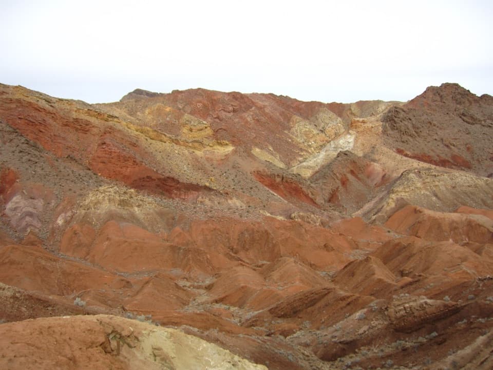 ModerateRazorback Wash South Trail6.3 mi · 5 hr · 4.1 mi awayA remote traverse through red, yellow and green mud hills.
 ModerateRazorback Wash North Trail5.4 mi · 3.5 hr · 4.7 mi awayA 5.4-mile wash traverse with a short climb and car shuttle.
 ChallengingNorthshore Peak East Ridge Route2.6 mi · 3 hr · 5.9 mi awayA short, exposed ridge scramble to fossil coral and lake views.
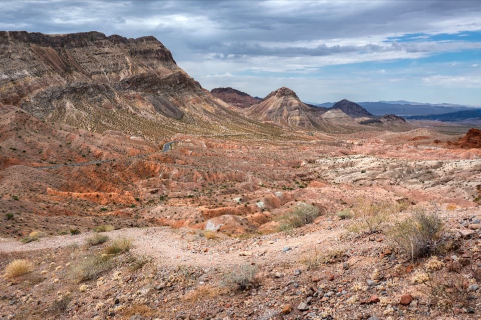 ModerateNorthshore Summit Trail0.6 mi · 1 hr · 6 mi awayA short loop climbs to banded desert views over Bowl of Fire.
 EasyCottonwood Spring Trail2.1 mi · 1.3 hr · 8.1 mi awayFossil ripples and a desert spring reward an easy wash walk.
 Picnic area · At the trailheadRedstone Picnic AreaA picnic among 140-million-year-old red sandstone outcrops.
 Campground · 6.3 mi awayEcho Bay CampgroundA remote, paved campground that suits an overnight by the water.
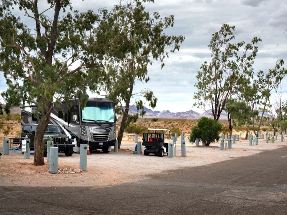 Campground · 6.6 mi awayEcho Bay RV VillageA 55-site full-hookup base at the lake’s north end.
 Sight · 6.7 mi awayEcho BayA boat launch on Overton Arm with a small picnic stop nearby.
Parkwolf’s Lake Mead ranking

The audio tour guide for the drive, plus offline maps, trails, and wildlife heatmaps for when the signal drops.





