
Place · 0 mi away
Moderate
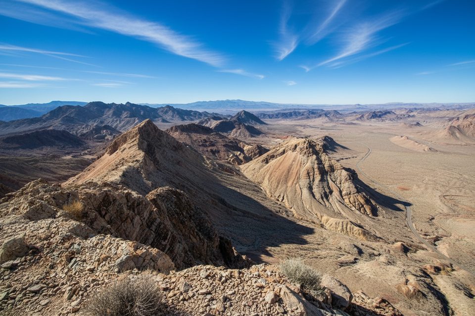
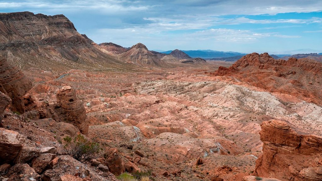
Northshore Peak is a short, scenic desert scramble with big-payoff views over Lake Mead and the red-rock Bowl of Fire. Expect mostly Class 2 travel with a brief Class 3 step on the ridge. The rock is largely solid limestone, and you may spot fossils along the summit ridge. Total distance for the standard out-and-back is about 2.6 miles round trip with roughly 900–1,000 feet of gain.
Plan this one for the cooler months—roughly October through April. There’s no shade or water, so start early and skip hot, windy, or stormy days. If you poke into washes, remember desert storms can create flash‑flood conditions; ridges are usually safer and more direct.
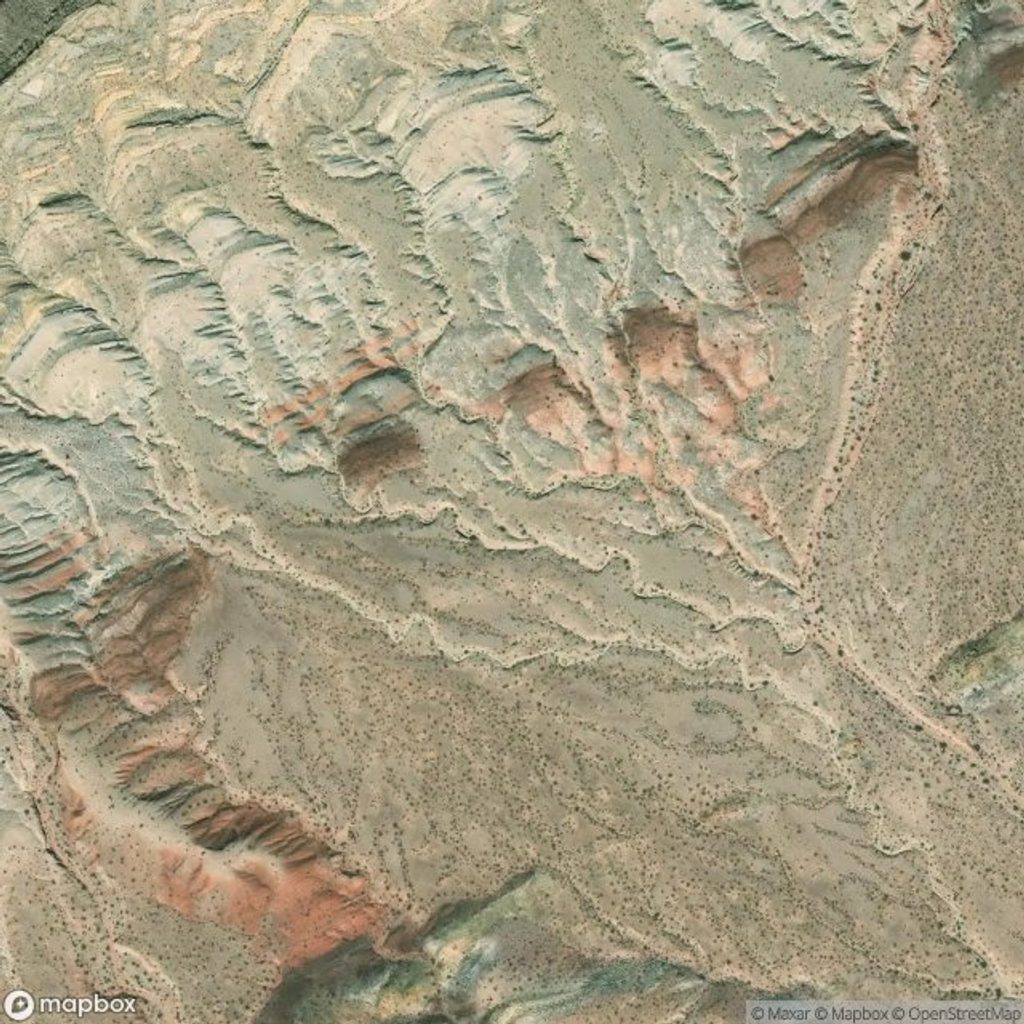
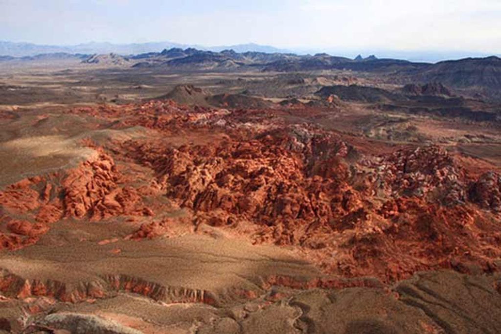
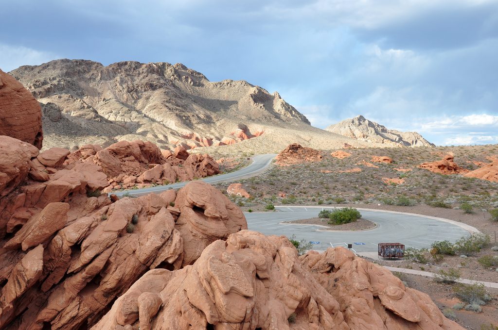
From the summit, the panorama takes in Lake Mead, the Bowl of Fire, and the Muddy Mountains. The colorful badlands and limestone ribs make for photogenic ridgelines. Keep an eye on your feet—limestone is grippy but sharp.
Cairns help but are not continuous; light route‑finding is part of the fun. Stay ridge‑proper to keep difficulty to Class 2/low 3. Avoid dropping into side washes where dry falls can cliff you out. The West Ridge is a legitimate 3rd‑class climb from below and is a poor choice for a casual descent.
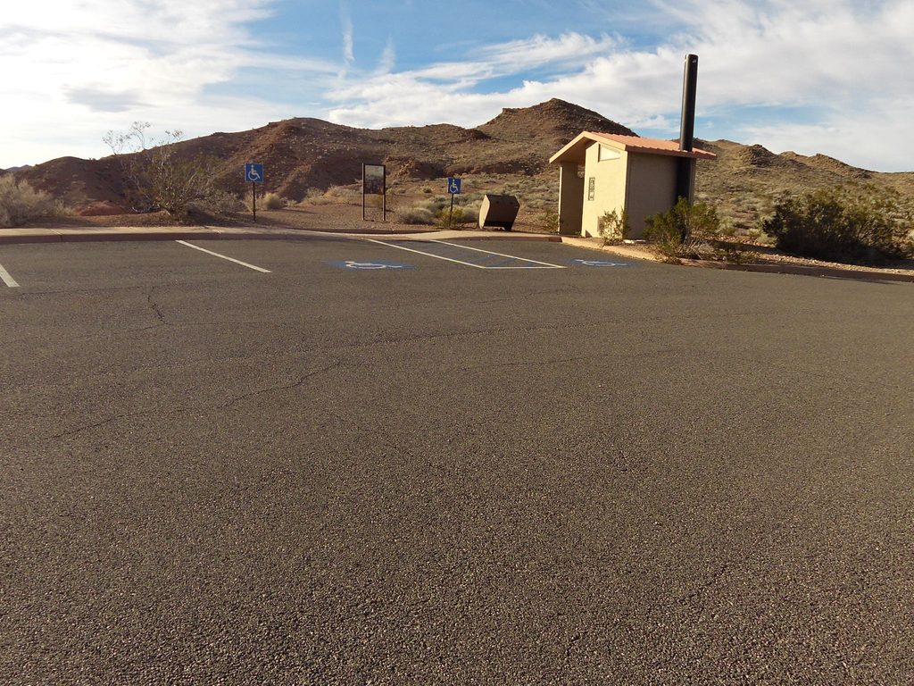
Park at the Northshore Summit parking lot on SR‑167 (mile 20.6). A pit toilet is at the parking area. Standard park entry fees apply. Dogs are allowed on leash, but most won’t manage the exposed scrambling on the loop; the standard route’s short Class 3 step often requires a human assist or a bypass. If you want a bonus leg‑stretcher, there’s a short signed hike across the road that pairs well with the main summit.
Northshore Summit parking lot on SR‑167 (mile 20.6); cross the road to start the east ridge.
Desert heat, zero shade, and intermittent cairns; brief exposed Class 3 on ridges and dry‑fall hazards in washes. The West Ridge is not a casual descent.
Place · 0 mi away
Place · 2.7 mi away
Place · 2.7 mi away
Place · 2.7 mi away
Moderate · 0 mi away
Moderate · 0.1 mi away
Moderate · 4.8 mi away
Easy · 5.9 mi away

Parkwolf Tour Guide
