Pros & cons
PROS
- 2.5-mile loop through well-signed ghost town ruins
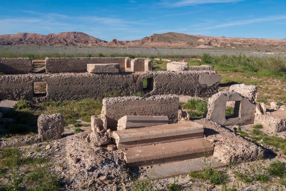
- Atmospheric foundations and relics exposed by receding lake levels
CONS
- No water or services and virtually no shade
- Access requires a rough 3.3-mile dirt road
Overview
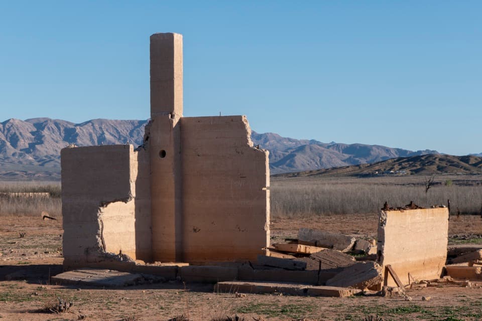
St. Thomas Townsite is the haunting, re‑emerged ghost town at the north end of the recreation area near the Overton Arm. Once drowned beneath Lake Mead, today you can stroll past building foundations and old cisterns while interpretive signs piece together the town’s boom‑to‑submergence story.
A Short History With Big Drama
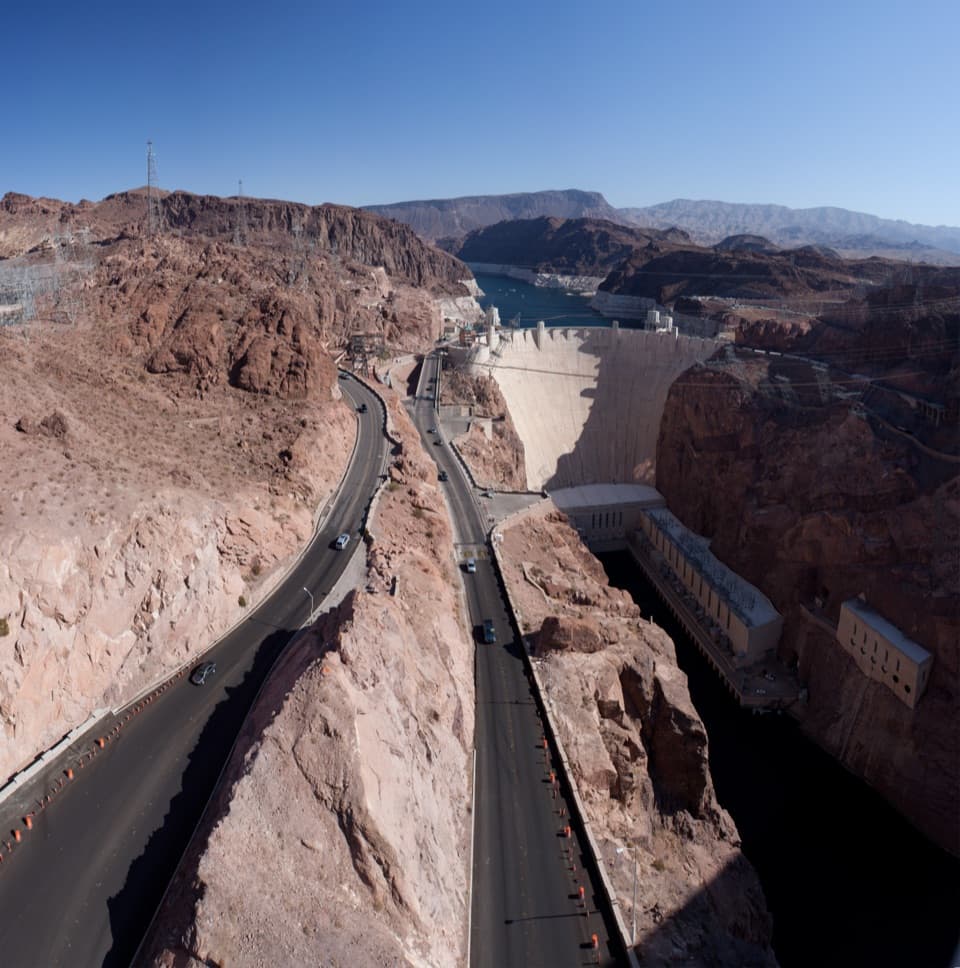
Founded in 1865 by Mormon settlers at the confluence of the Muddy and Virgin Rivers, St. Thomas grew into a small farm hub with a school, post office, stores, a church, and even a soda fountain—despite having no electricity or indoor plumbing. Hoover Dam’s authorization in 1928 sealed its fate: as Lake Mead filled (beginning 1935), residents were paid for their property and moved out. The last holdout, Hugh Lord, left in 1938 as water reached his doorstep. At high water the town sat roughly 60–70 feet underwater and has since reappeared during low lake levels.
What You’ll See
Expect concrete and stone foundations, front steps, cellar windows, fence lines, and scattered relics in situ. Highlights noted on site include the footprint of a 1915 schoolhouse (closed in 1932), the Gentry family’s 14‑room hotel outline, storefront remains, and shells underfoot—quiet proof the place lived underwater for years. Informational placards throughout help you visualize the streetscape.
Getting There & Road Conditions
It’s about a 90‑minute drive from Las Vegas. The final approach is Old St. Thomas Road—around 3.3 miles of dirt/gravel that can be rocky, rutted, and sandy. Conditions vary: most passenger cars can make it in good weather with care, but high‑clearance helps. Cell service is spotty. A park entrance fee applies.
The Walk
From the parking area, an obvious, unmaintained path drops into the site. Plan 60–120 minutes to wander the 2.5‑mile loop, mostly on sand and firm dirt. It’s easy terrain but fully exposed.
Conditions, Wildlife, and Etiquette
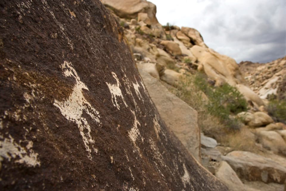
Summer heat here is brutal and there’s zero shade—bring ample water, sun protection, and sturdy footwear. Watch for snakes in warm months and give any desert bighorn sheep space. This is a protected historic site: don’t climb on foundations, don’t remove artifacts, and report vandalism or off‑road driving if you see it.
Best Time to Visit
Go in the cooler months and start early in the day. You’ll beat the heat, enjoy calmer conditions, and have more energy to linger at the interpretive stops.
Extra Context
The old cemetery was relocated to nearby Overton, where an interpretive presence continues the story of the “Lost City” area and ongoing research into the region’s past.
Where it is
36.4688, -114.3851Tips for St. Thomas Townsite
- 01Carry more water than you think you need—there’s no shade or services.
- 02Drive Old St. Thomas Road slowly; high‑clearance helps when conditions are rough.
- 03Download an offline map—cell coverage is spotty along the dirt road and on site.
- 04Read up before you go; there’s essentially one kiosk and signs in the townsite.
- 05Leave artifacts where they sit and don’t climb on foundations.
Amenities
Near St. Thomas Townsite
All places →All trails →
0 mi awaySt. Thomas Ghost Town TrailEasy loop through a drowned-and-reborn ghost town’s ruinsEasy · 2.2 mi · 1.5 hr
2 mi awayOverton BeachWalk‑in shoreline with big skies and winter eagles
2.6 mi awayOld Swim BeachQuiet Overton Arm shoreline for birding and bank fishing
3.1 mi awayThree Corner HoleA named bay with shifting shorelines and rock outcrops
6.1 mi awayBlue Point SpringQuiet desert spring with oasis vibes and easy birdingPullout · Picnic Table
7.1 mi awayRogers Spring Loop TrailA tiny paved stroll to a warm desert oasis with fish and shade.Easy · 0.2 mi · 6 min
17.2 mi awayRedstone Dune TrailShort loop through flaming Aztec Sandstone—kid friendly, camera ready.Easy · 0.5 mi · 30 min
17.3 mi awayRedstone TrailKid-friendly loop around blazing red sandstone dunes and picnic spotsEasy · 0.5 mi · 30 min