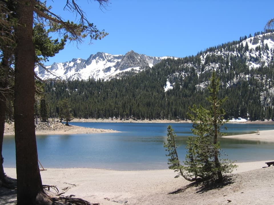
Horseshoe Lake Trail in Lassen Volcanic National Park

Lassen Volcanic National Park, CA

Horseshoe Lake Trail

A short forest hike to a lakeshore beneath Lassen's skyline

Photo: Wikimedia Commons
Length
2.6mi
Time
2hr
Elev. change
440ft
Difficulty
Moderate
  • No dogs
  • High point 7,021 ft
  • #26 of 59 in Lassen Volcanic

Hear the audio tour

Juniper Lake: Beach or Long Loop

Overview

About Horseshoe Lake Trail

Why go

  • A lakeshore destination without an all-day hike
  • A worthwhile stop for anglers as well as hikers

Heads up

  • Remote approach with a rough final six miles
  • No drinking water or cell service at the trailhead

Map & elevation

The route

Loading the Lassen Volcanic map
Full map
Elevation6,581–7,021 ft
TrailheadJuniper Lake Day Use Area (north shore)40.46650, -121.30805
Keep this map with you offline in the Parkwolf app

Plan your hike

Before you go

Parking

Use the Juniper Lake Day Use Area lot on the north shore; the Horseshoe Lake trailhead is there. From Chester, the remote approach is about 13 miles, with a steep, rough final six miles of dirt that are unsuitable for low-clearance cars, buses, motorhomes, and trailers. The area is seasonal (June through October), and the road normally closes in winter and spring. A park pass or fee receipt is required; a seasonal vault toilet is available, but no water or other services.

Safety

No drinking water or cell service at the Juniper Lake trailhead. The remote approach and rough road make this a poor place to count on last-minute supplies or reception.

1 active Lassen Volcanic alert

  • ClosureJuniper Lake campground and day-use area closedMentions Juniper Lake, referenced in this guideJuniper Lake Campground and day-use area are closed for maintenance and campground-improvement projects. - Potable water is unavailable in the campground.Official details
Lassen Volcanic alerts
A park ranger sits on a dash-mounted phone, talking, as Parkwolf’s Tour Guide plays “Army Cutworm Moths: A Grizzly Bear Buffet” on Grand Loop Road below Dunraven Pass in Yellowstone
Parkwolf Tour GuideThe highest, rockiest slopes around here are a summer buffet for grizzly bears.

Lassen Volcanic Tour Guide

Your drive to Horseshoe Lake Trail, narrated.

Parkwolf is a GPS audio tour guide for Lassen Volcanic National Park. As you drive, it chimes in with what’s ahead: hidden gems, upcoming stops, history, geology, and wildlife, right through your car’s speakers.

See the Lassen Volcanic audio tour

Recorded for this trailhead

Juniper Lake: Beach or Long Loop
0:00 / 0:29
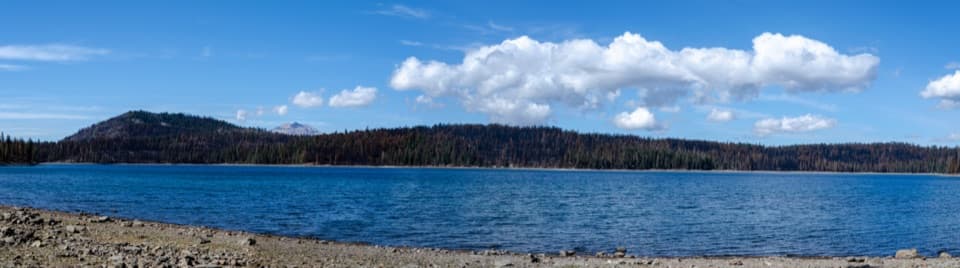
“You’re nearing Juniper Lake’s north-shore day-use area, where a gravel-and-sand beach looks across the water toward Mount Harkness.”

Plays as you drive up to this trailhead in the Parkwolf Lassen Volcanic Tour Guide.

More stories near here in the app

  • Crystal Lake: A Short but Steep Climb
  • Mount Harkness: Meadow Views and a Lost Lookout
  • Life Inside a Burned Tree
  • The Pika's Winter Pantry
  • 45 audio storiesacross Lassen Volcanic’s roads, triggered by GPS as you drive
  • Wildlife heatmapsfor Black Bear, Bald Eagle, Mule Deer, and 13 more
  • Works offlinemaps, 59 trails, 56 places, and audio download before you lose signal
  • CarPlay readysimple controls built for the drive
★★★★★
“Fantastic app with many points of information… It’s great to just turn on while you’re driving and it gives you an audio tour of the national Park. We love it!!!!”
JMJamesApp Store review
Download Parkwolf on the App StoreGet Parkwolf on Google Play

4.7 from 8,600+ ratings

Trail guide

Hiking Horseshoe Lake Trail

A compact route to a lakeHorseshoe Lake Trail is a 2.

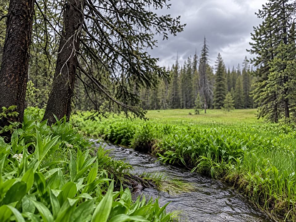
Horseshoe Lake Trail is a 2.6-mile out-and-back from Juniper Lake's north-shore day-use area to a lake tucked in the forest. The park map lists the direct walk as 1.3 miles one way; allow about two hours for the return trip. It's a good pick when you want a lake destination without committing to the longer routes that continue toward Indian Lake. Expect a steady climb early on: park descriptions call it both easy and moderate, so think short but not flat.

Find the lake branchThe trail heads west and northwest through conifers, climbing in the first stretch with a few…

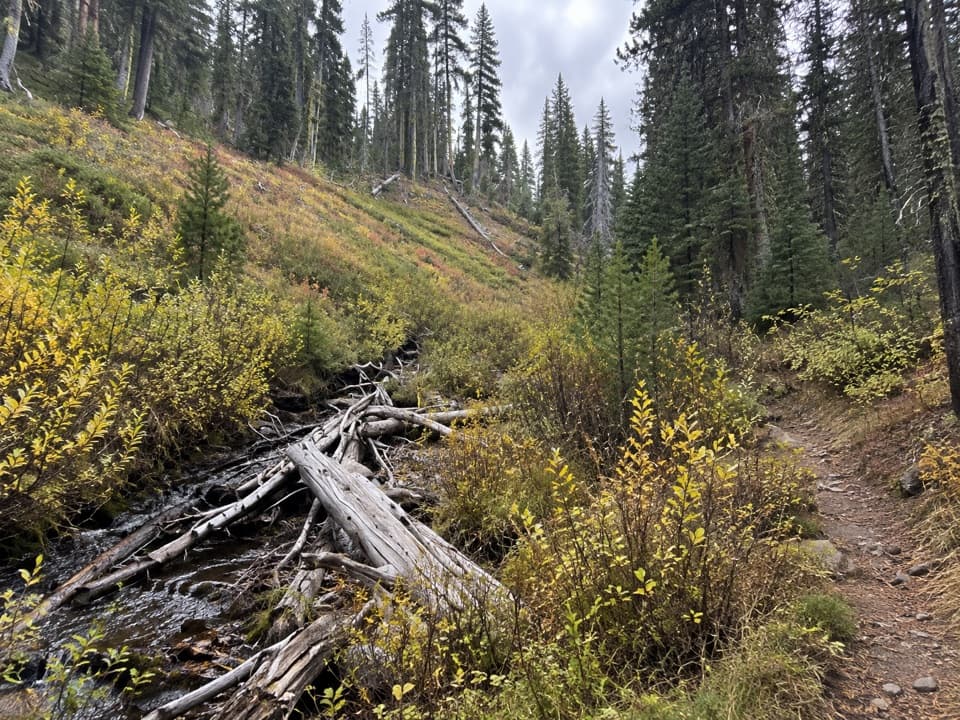
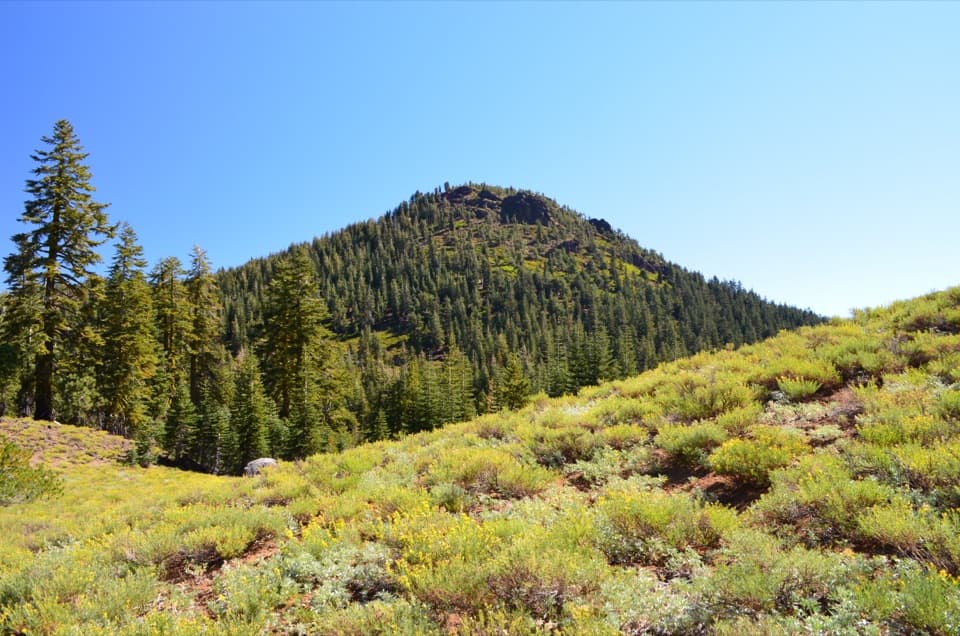
The trail heads west and northwest through conifers, climbing in the first stretch with a few flatter breaks. A little past a mile, take the left branch down toward Horseshoe Lake; continuing beyond that junction leads into a longer route network. The final spur to the water is short and isn't measured separately in the posted distance, so the total may run a little over 2.6 miles. Retrace the same trail to Juniper Lake.

At the shoreHorseshoe Lake sits below forested ridges, and Lassen's tip can appear above the western tree…

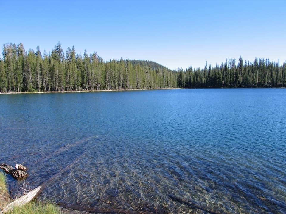
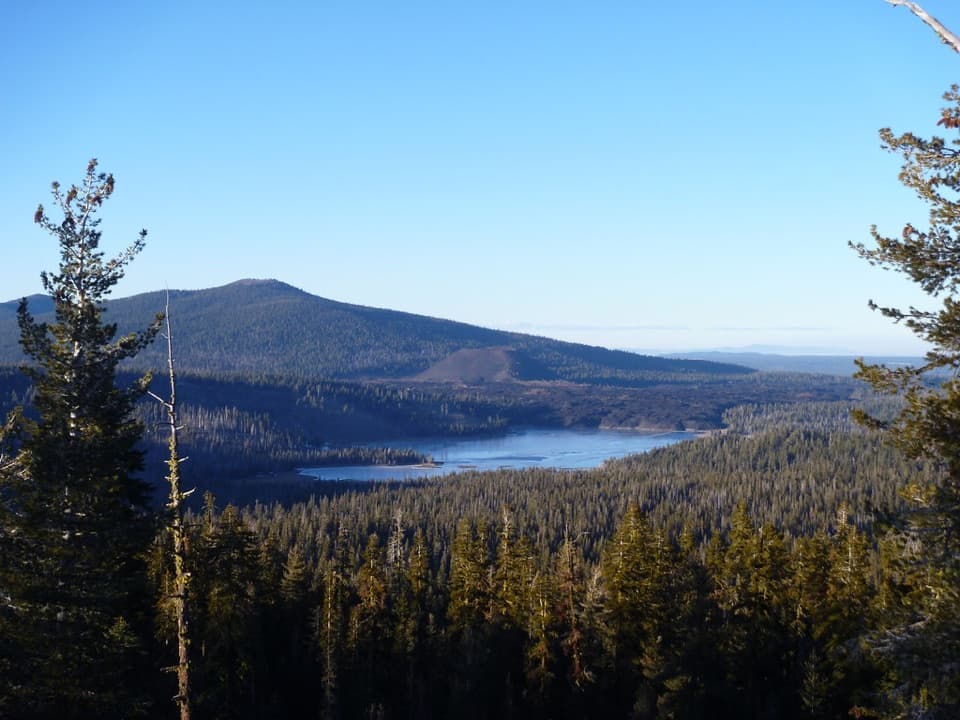
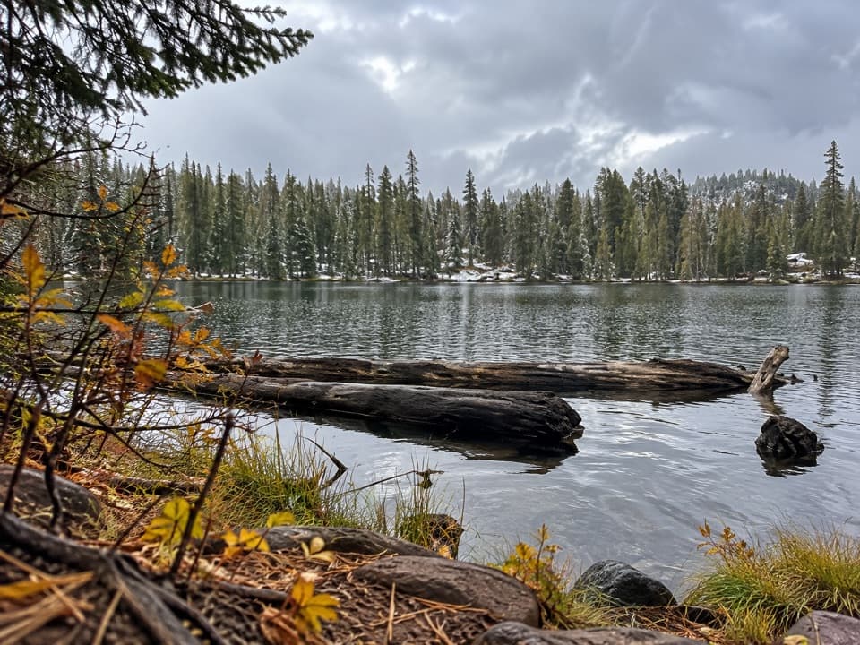
Horseshoe Lake sits below forested ridges, and Lassen's tip can appear above the western tree line from the approach. For a photo, include a strip of shore in the foreground and shoot across the water rather than filling the frame with trees. The lake is also a fishing destination, with rainbow, brown, and brook trout; it's a nice place to pause, though fish aren't a sure sight from shore.

Make the remote start countStart at the north-shore Juniper Lake Day Use Area lot.

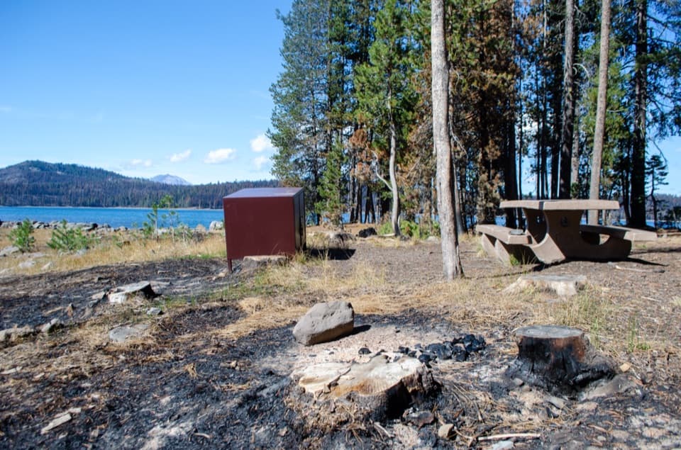
Start at the north-shore Juniper Lake Day Use Area lot. The area is seasonal, June through October, and its road normally closes in winter and spring. From Chester, the approach is about 13 miles; the last six miles are steep, rough dirt and aren't suitable for low-clearance cars, buses, motorhomes, or trailers. There is a seasonal vault toilet, but no drinking water, cell service, or food. A valid park pass or fee receipt is required.

Pets and overnight usePets aren't allowed on park hiking trails or in the lake.

Pets aren't allowed on park hiking trails or in the lake. A free permit is required for backpacking and stock use; it isn't part of this short day hike.

Wildlife

Wildlife in Lassen Volcanic

All Lassen Volcanic wildlife maps

Sighting maps show where each species has been reported across Lassen Volcanic. Wildlife moves, so no sighting is guaranteed.

Keep exploring

Near Horseshoe Lake Trail

See it all on the map

Trails that start nearby

Places near the trailhead

Parkwolf’s Lassen Volcanic ranking

Top-rated trails in Lassen Volcanic

All 59 trails
  1. 1Lassen Peak TrailChallenging · 5 mi
  2. 2Cinder Cone TrailChallenging · 4 mi
  3. 3Bumpass Hell TrailModerate · 3 mi
  4. 4Brokeoff Mountain TrailChallenging · 7.4 mi
  5. 5Kings Creek Falls TrailModerate · 2.8 mi
  6. 6Manzanita Lake LoopEasy · 1.8 mi

Take Parkwolf to Lassen Volcanic.

The audio tour guide for the drive, plus offline maps, trails, and wildlife heatmaps for when the signal drops.

4.7 from 8,600+ ratings

Download Parkwolf on the App StoreGet Parkwolf on Google Play