Pros & cons
PROS
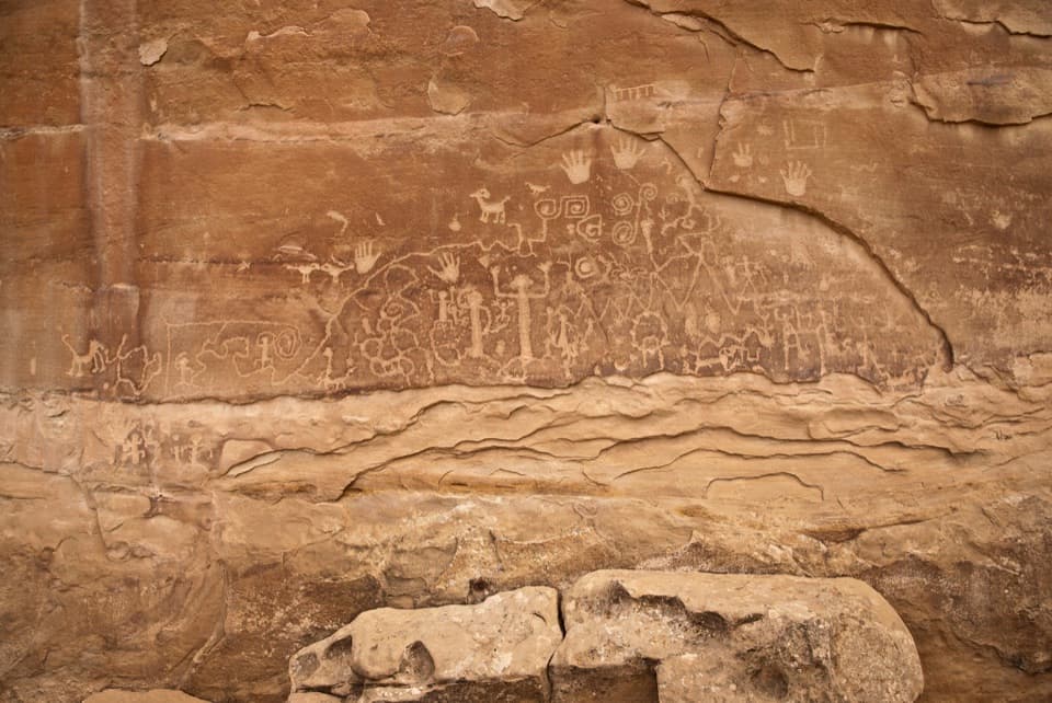
- One of the park’s largest accessible petroglyph panels about 1.4 miles in
- Fun, hands-on features—carved steps, short scrambles, tight squeezes—keep it engaging
CONS
- Rim return is sun-exposed with limited shade—timing and water matter
- Narrow ledges and squeezes can be uncomfortable for those wary of heights or carrying big packs
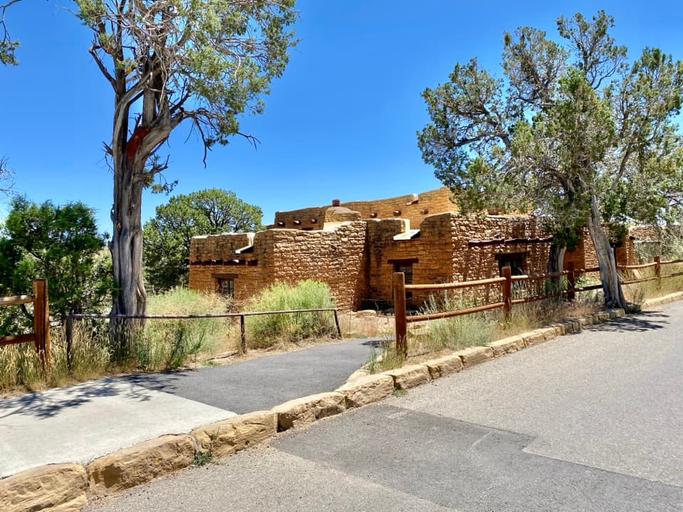
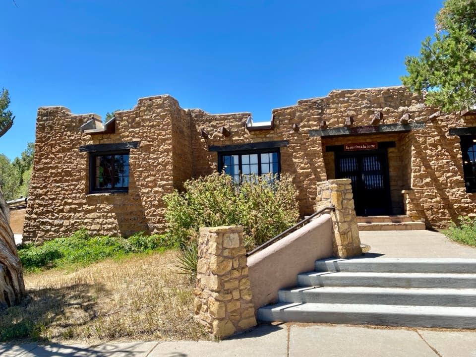
Use the parking at the museum/Spruce Tree House area on Chapin Mesa; register at the trailhead or museum before starting.
Narrow cliffside sections with steep drop-offs; short scrambles requiring hands; tight squeezes; significant sun exposure on the rim; mandatory self-registration; do not touch petroglyphs; no pets.
Overview
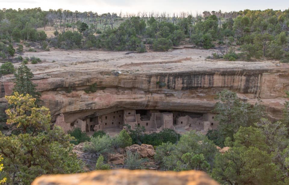
A compact Mesa Verde classic, this 2.4-mile loop dishes out more adventure than you’d expect from the mileage. The route drops from the Spruce Tree House area on Chapin Mesa, traces a narrow cliffside path to a large Ancestral Puebloan petroglyph panel, then climbs back to the mesa rim for an easier return. Plan about 2 hours.
What You’ll See
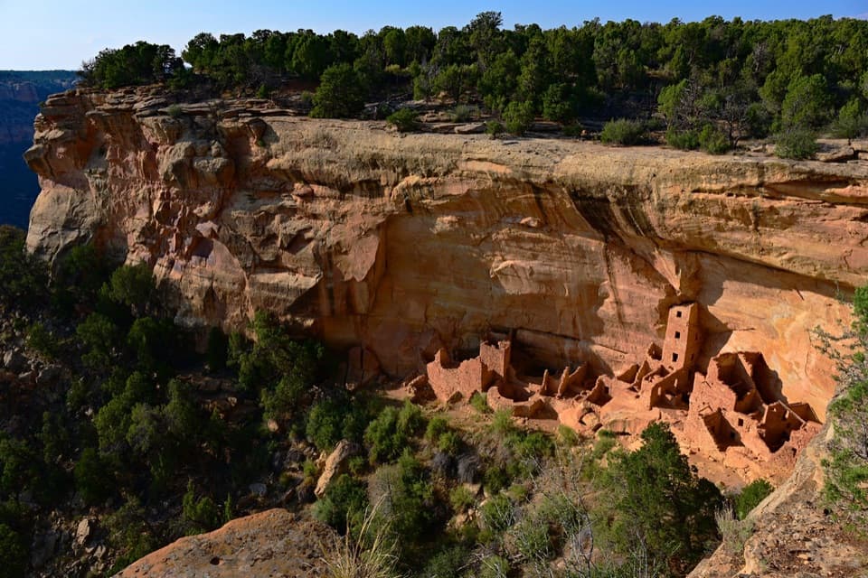
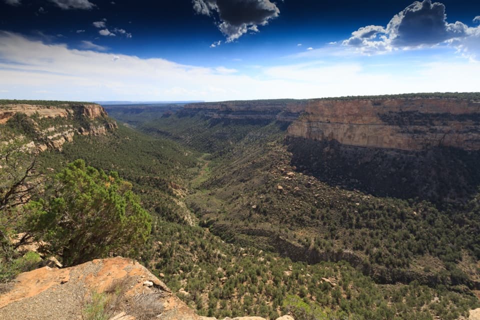
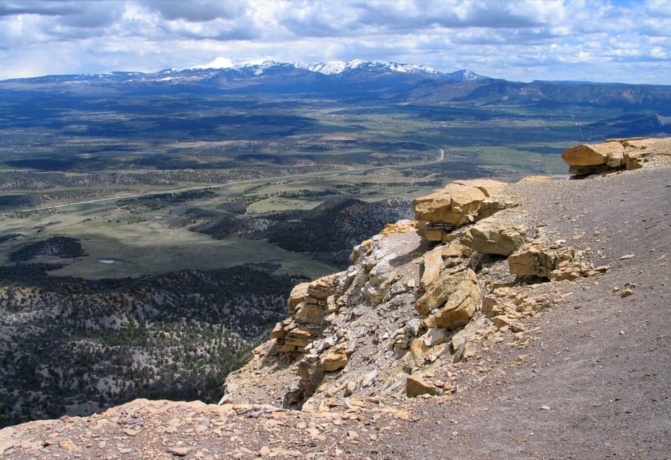
Expect close-up canyon scenery with big looks into Spruce and Navajo Canyons. The star is a long petroglyph panel roughly 1.4 miles from the start, featuring more than thirty human and animal figures, spirals, and handprints spread over about 35 feet. These designs were created by pecking through dark desert varnish to expose lighter sandstone beneath. Treat this place as living heritage—it's considered sacred by affiliated tribes—and do not touch the rock art.
Trail Character and Difficulty
This is not a casual walk: the path is rugged, rocky, and narrow with sections along steep drop-offs. You’ll squeeze through tight rock gaps, step up carved rock “stairs,” and use hands and feet on short scrambles—including a big stone staircase after the panel. Official elevation change is about 174 feet, but the many short ups and downs make it feel like more. Most hikers call it moderately strenuous to strenuous.
Route Flow and Direction
Hike it counterclockwise to tackle the cliffside scrambles early while you’re fresh and finish on a more straightforward rim trail. In this direction, you’ll reach the petroglyph panel around 1.4 miles in, then climb to the mesa top and cruise back through more open terrain with broad views.
Best Time to Hike
Start early. Morning brings cooler temps and some shade in the canyon; the rim return is largely exposed and bakes in mid‑day sun. This loop is hiked in all seasons; regardless of timing, bring plenty of water and sun protection.
Tips and Etiquette
- Register before you go (at the trailhead or the museum).
- Wear sturdy footwear and keep hands free for the scrambles; big, bulky packs make the squeezes awkward.
- Stay on the trail and give cliff edges respect.
- Do not touch or lean on the petroglyphs—oils from skin cause permanent damage.
- No pets or bicycles on this trail.
Geology and Context
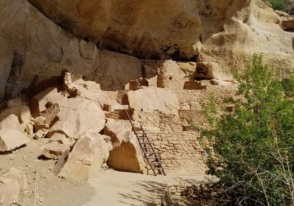
You’re moving through classic Mesa Verde canyon country: sandstone walls coated in dark desert varnish, the natural “canvas” for the petroglyphs. Part of the path follows foot-worn routes used historically by Ancestral Pueblo people, adding a tangible sense of place to the views.
Elevation
2.4 mi · 2 hrNear Petroglyph Point Trail
All places →All trails →
Cliff PalaceLargest cliff dwelling, best experienced on a ranger-led tourParking · Restroom
Balcony HouseGuided cliff dwelling with ladders, a crawl tunnel, and big viewsRestroom · Parking
Long HouseUp-close ranger tour into the park’s second-largest cliff dwellingTrailhead · Parking
Sun Point ViewBest vantage for multiple cliff dwellings from one stopParking · Scenic Viewpoint
Cliff Palace TrailShort, stair-and-ladder tour to Mesa Verde’s signature cliff dwellingModerate · 0.4 mi · 1 hr
Point Lookout TrailShort, steep climb to sweeping San Juan and valley panoramasChallenging · 2.2 mi · 2 hr
Step House TrailShort, self-guided path to a rare cliff dwelling with deep historyModerate · 1 mi · 45 min
Soda Canyon Overlook TrailShort, easy walk to the best Balcony House views across Soda CanyonEasy · 1.2 mi · 36 min