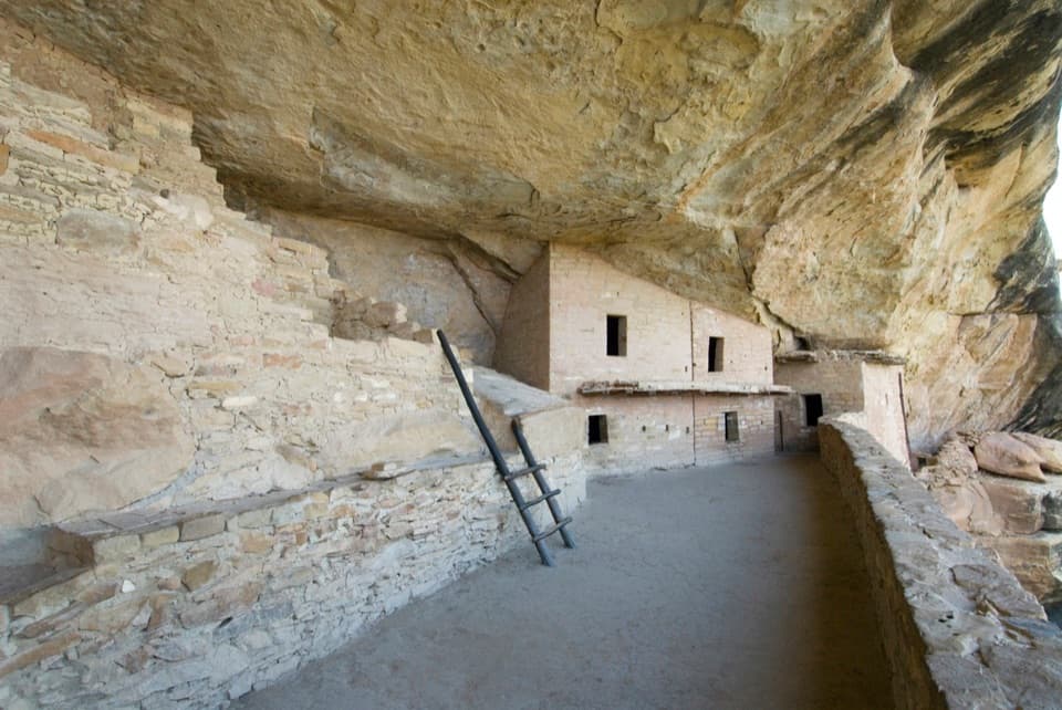
Parking
Use the Park Point parking area at the end of Park Point Road (MV 3); the paved trail starts at the lot. The park lists parking for autos and buses/RVs, picnic tables, and seasonal vault or composting toilets.
#7 of 22 trails in Mesa Verde
Mesa Verde National Park, CO
Steep paved climb to Four Corners views from Mesa Verde's high point.
Overview
Park Point Overlook Trail is an about 0.4-mile round trip from the Park Point parking area. It is a steep, paved out-and-back with two short viewpoints and the fire lookout at the top. Allow around 30 minutes to climb, visit both viewpoints, and look around. I'd stop if you want a big Four Corners view without setting aside half a day; it's a short walk, not an easy grade.
 Parkwolf’s verdictIs this the quick summit stop for you?
Map & elevation
Plan your hike

The highest, rockiest slopes around here are a summer buffet for grizzly bears.
Mesa Verde Tour Guide
Parkwolf is a GPS audio tour guide for Mesa Verde National Park. As you drive, it chimes in with what’s ahead: hidden gems, upcoming stops, history, geology, and wildlife, right through your car’s speakers.
Recorded for this trailhead
Park Point“Up ahead is Park Point, the park's highest viewpoint and a good stop for a wide view of the Four Corners country.”
Plays as you drive up to this trailhead in the Parkwolf Mesa Verde Tour Guide.
More stories near here in the app
“Fantastic app with many points of information… It’s great to just turn on while you’re driving and it gives you an audio tour of the national Park. We love it!!!!”


Trail guide
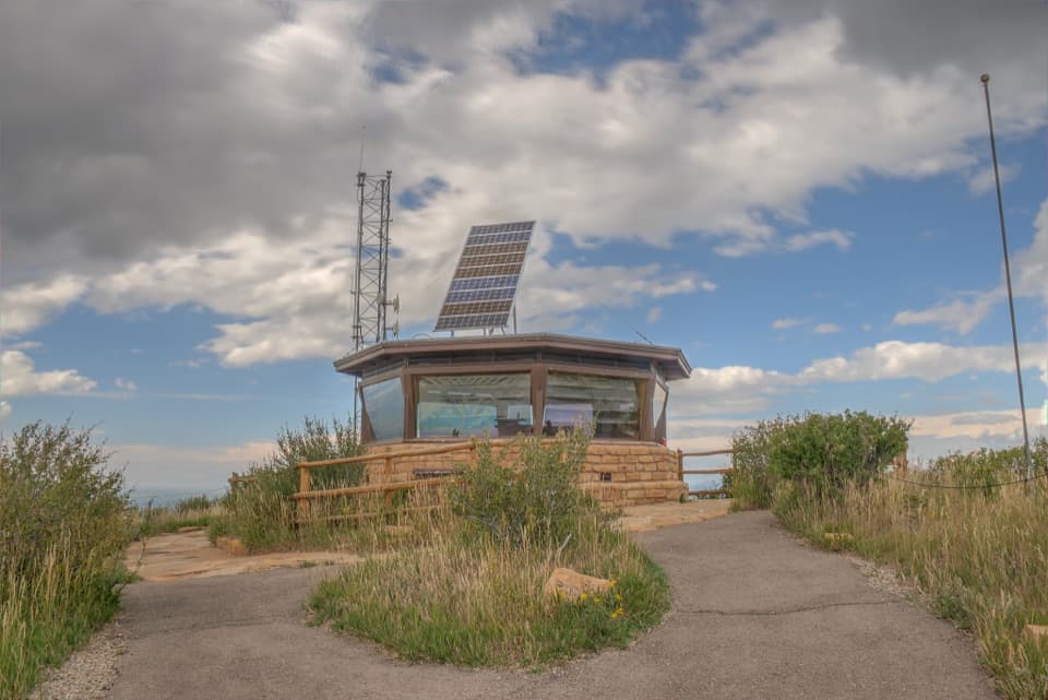
The paved path climbs past the lookout area to the southern viewpoint. Double back to the junction and follow the short northern spur, then retrace the route to the lot. Make time for both: the north side looks across canyons toward the San Juan Mountains, while the south opens toward New Mexico's high desert. From the summit, Sleeping Ute Mountain is west and the La Plata Mountains are east.
The Park Point Fire Lookout stands at Mesa Verde's highest point, 8,572 feet above sea level. It is still used during fire season to relay lightning, weather, and fire information for the park and surrounding area, so this is a working lookout as well as a historic one.
Wildlife
 36 sightingsBlack BearMost seen around 8 PMSighting map
 159 sightingsMule DeerMost seen around 7 AMSighting map
 14 sightingsGolden EagleMost seen around noonSighting map
 53 sightingsWild HorseMost seen around 7 AMSighting map
 24 sightingsCoyoteMost seen around 8 PMSighting map
 37 sightingsWild TurkeyMost seen around 7 AMSighting map
Sighting maps show where each species has been reported across Mesa Verde. Wildlife moves, so no sighting is guaranteed.
Keep exploring
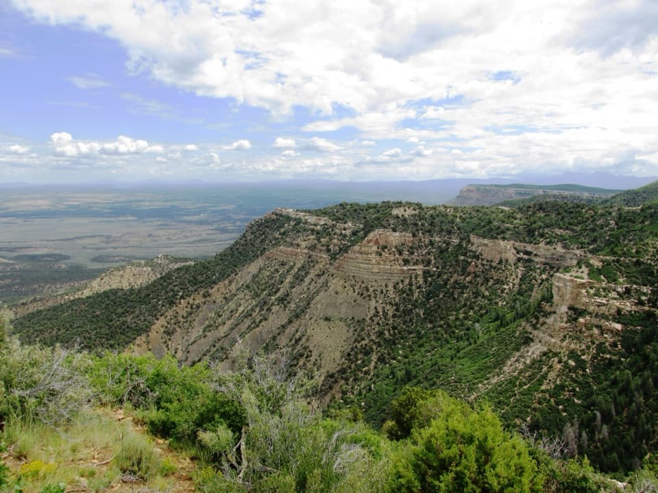 EasyGeologic Overlook Trail0.2 mi · 15 min · 1.2 mi awayTwo Mesa Verde geology viewpoints on a very short uphill walk.
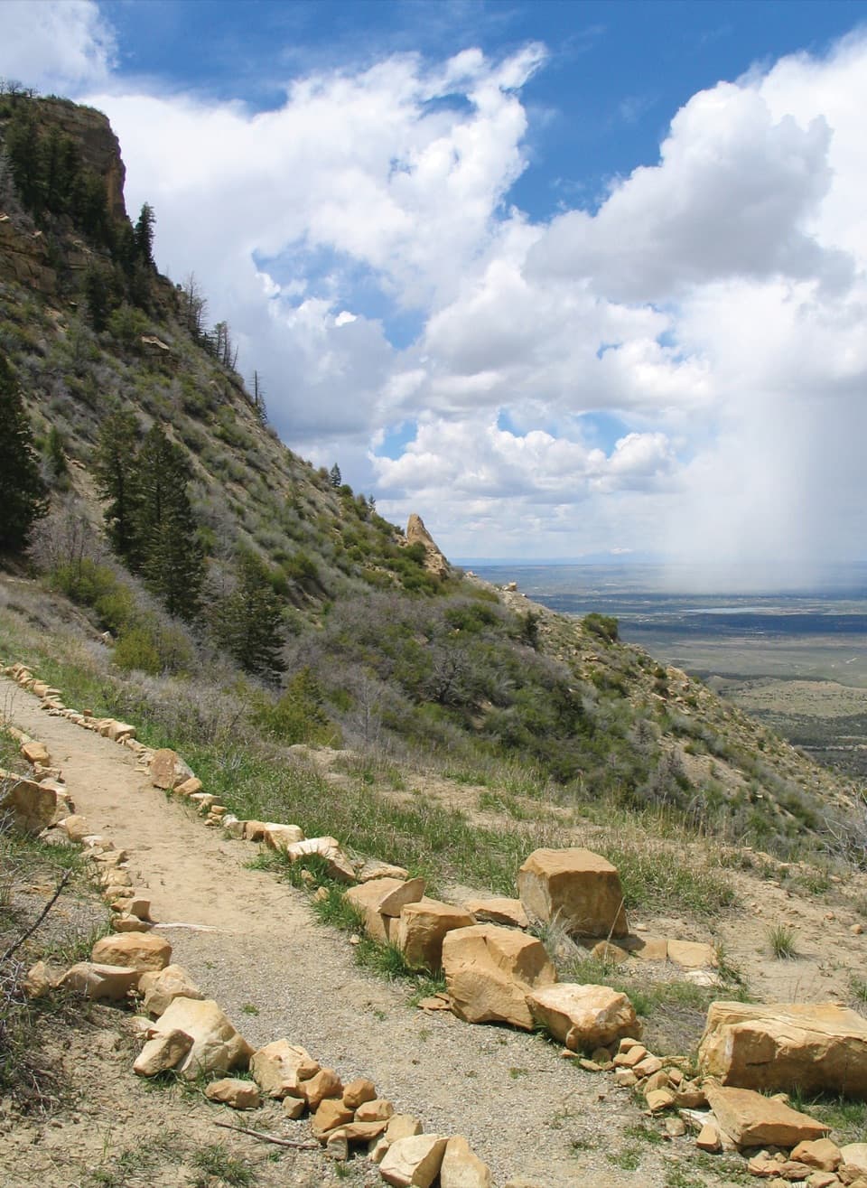 EasyKnife Edge Trail1.5 mi · 45 min · 2.6 mi awayA level old road, a wide sunset view over Montezuma Valley.
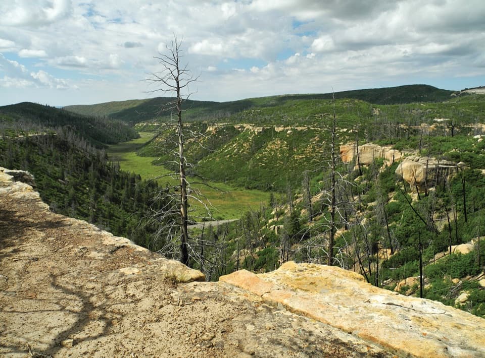 ChallengingPrater Ridge Trail7.8 mi · 4 hr · 2.7 mi awayTwo loops open onto canyons on opposite sides of the ridge.
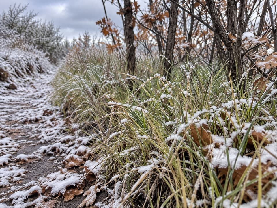 ModeratePrater Ridge North Loop Trail5.7 mi · 3.5 hr · 2.7 mi awayA steady climb opens to Montezuma Valley and San Juan views.ModeratePrater Ridge South Loop Trail4.6 mi · 2.5 hr · 2.7 mi awayA steady climb buys wide views into two canyon heads.
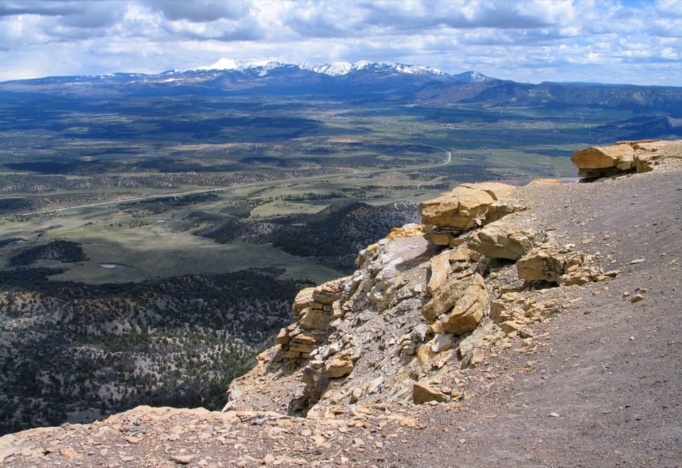 ModeratePoint Lookout Trail2.2 mi · 2 hr · 3 mi awaySteep switchbacks lead to valley views and the winding park road.
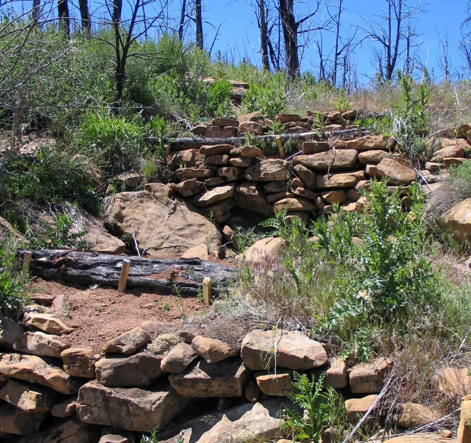 EasyFarming Terrace Trail0.5 mi · 36 min · 5.8 mi awayA half-mile loop through 800-year-old farming terraces
 ChallengingSpruce Canyon Trail2.4 mi · 2 hr · 6.7 mi awayA steep loop into Mesa Verde's cool, shaded canyon.
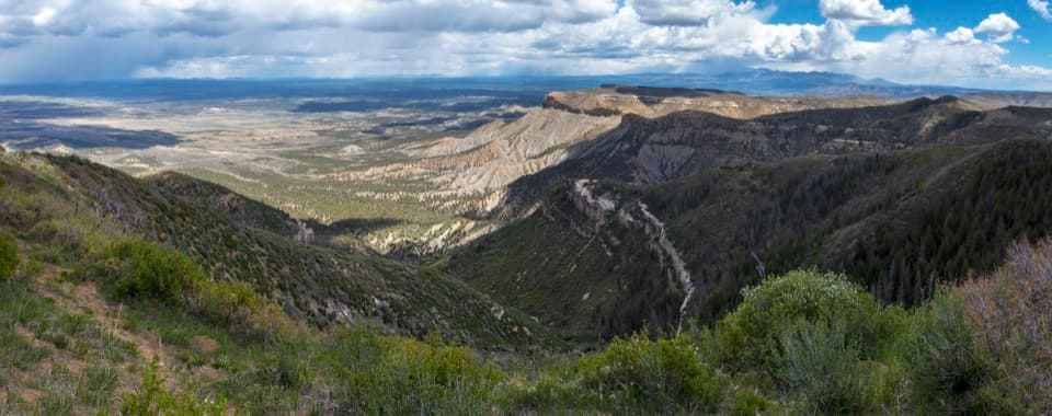 Sight · At the trailheadPark PointA brief, steep climb opens a Four Corners panorama.
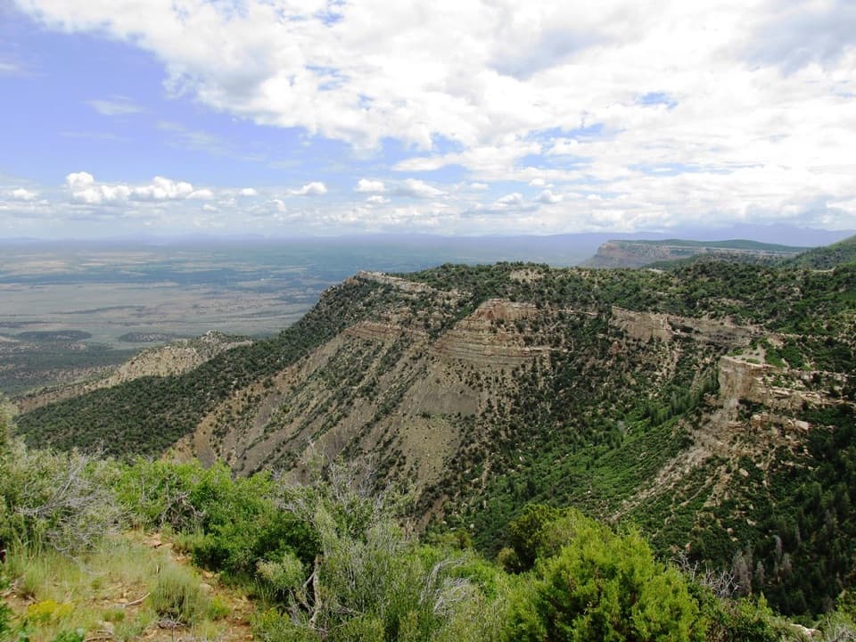 Sight · 1.2 mi awayGeologic OverlookA short uphill walk makes the mesa’s rock layers easier to read.
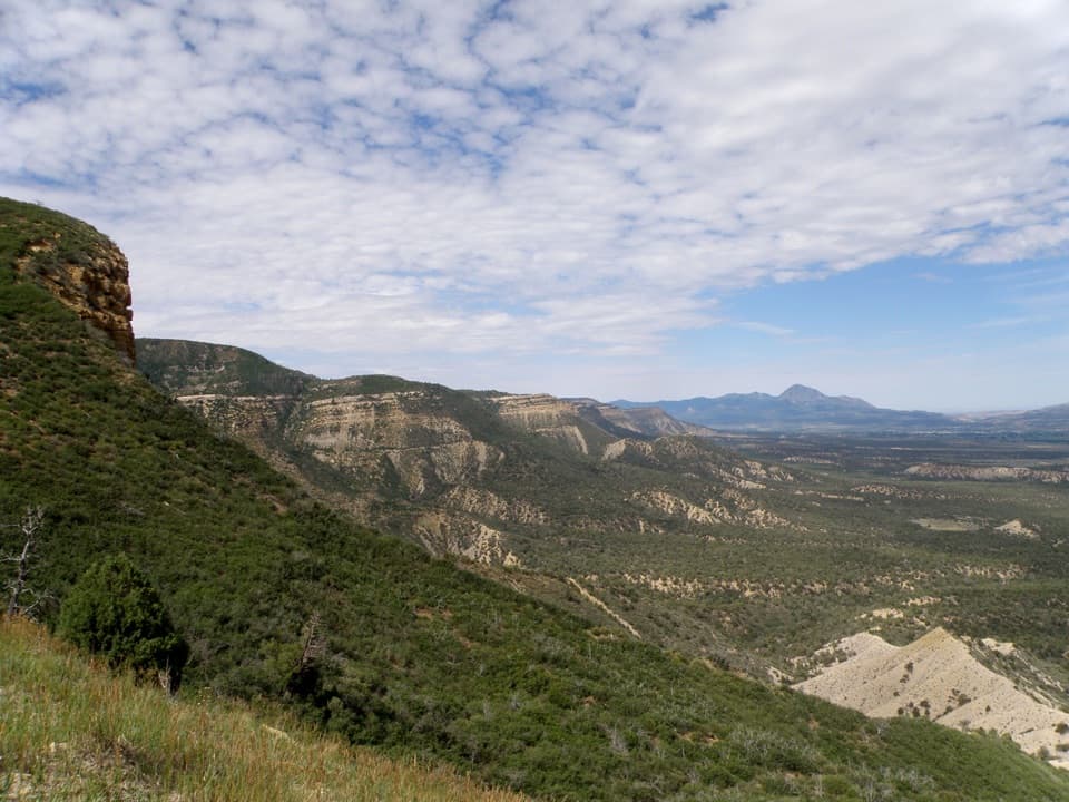 Sight · 1.6 mi awayMontezuma OverlookA broad valley view with a short Knife Edge road story.
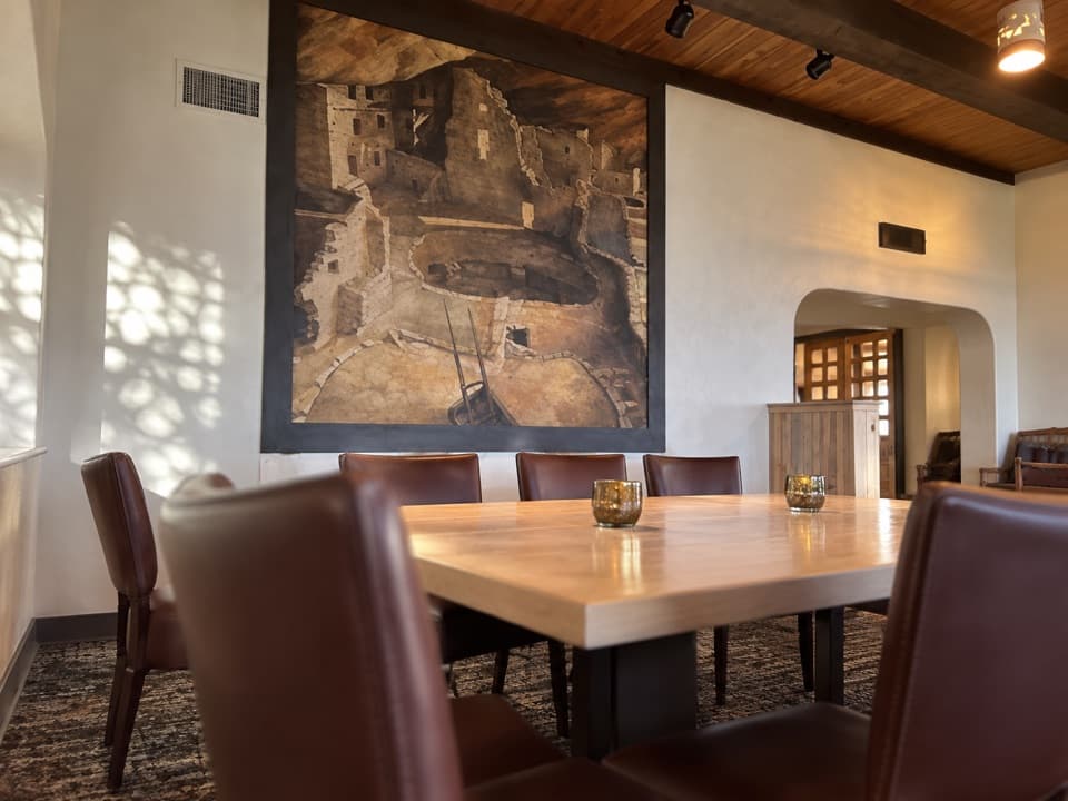 Restaurant · 2.3 mi awayMetate RoomA full-service dinner stop with broad Mesa Verde views.
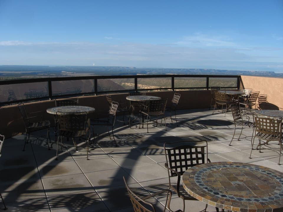 Restaurant · 2.3 mi awayFar View LoungePub bites and cocktails come with a wide terrace view.
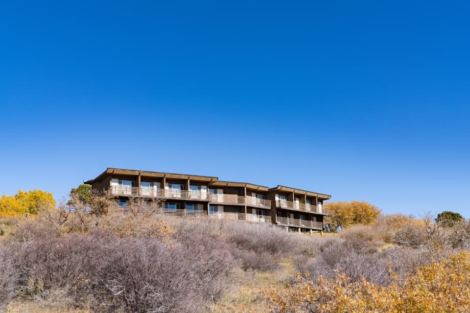 Lodging · 2.3 mi awayFar View LodgeAn in-park base with balcony views and less driving to mesa sites.
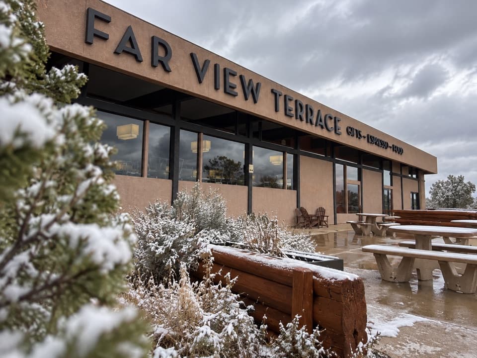 Food · 2.7 mi awayFar View Terrace CafeCoffee, a meal and a shop near Far View Lodge.
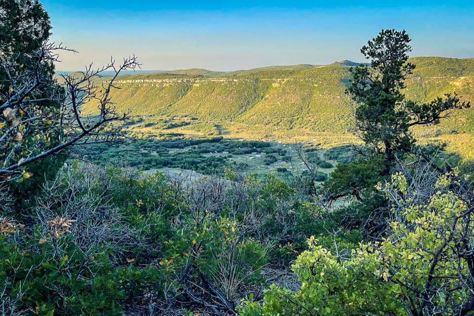 Campground · 2.8 mi awayMorefield CampgroundCamp inside Mesa Verde, four miles beyond the entrance.
Parkwolf’s Mesa Verde ranking
The audio tour guide for the drive, plus offline maps, trails, and wildlife heatmaps for when the signal drops.