Parking
Use the Mesa Verde Museum area on Chapin Mesa and follow signs to the marked Spruce Tree House Trailhead. The Museum is about 21 road miles from the park entrance.
#5 of 22 trails in Mesa Verde
Mesa Verde National Park, CO
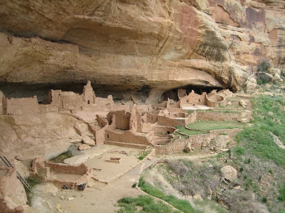
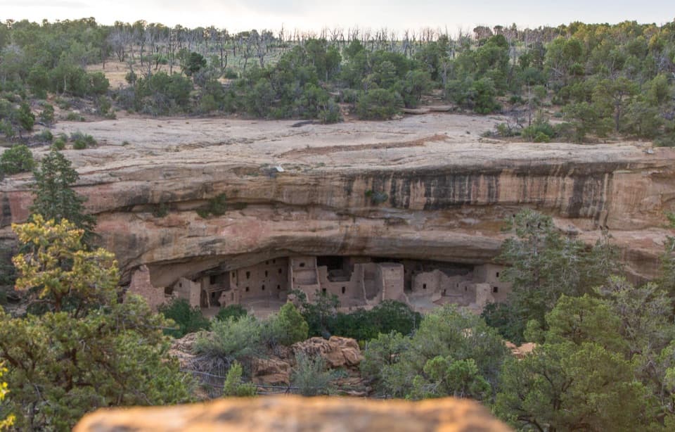
A steep paved path leads to a cliff dwelling beneath an arch.
Overview
Map & elevation
Plan your hike

The highest, rockiest slopes around here are a summer buffet for grizzly bears.
Mesa Verde Tour Guide
Parkwolf is a GPS audio tour guide for Mesa Verde National Park. As you drive, it chimes in with what’s ahead: hidden gems, upcoming stops, history, geology, and wildlife, right through your car’s speakers.
Recorded for this area
Spruce Tree House and Mesa Verde Museum“Spruce Tree House and the Mesa Verde Museum are coming up. For a look at a remarkably well-preserved cliff dwelling, make time for the viewpoints beside the museum.”
Plays on the road 0.1 mi from the trailhead in the Parkwolf Mesa Verde Tour Guide.
More stories near here in the app
“Fantastic app with many points of information… It’s great to just turn on while you’re driving and it gives you an audio tour of the national Park. We love it!!!!”


Trail guide
Spruce Tree House Trail is a roughly half-mile out-and-back, starting at the marked trailhead beside the Mesa Verde Museum. The route winds down to the cliff dwelling, follows a one-way path around the site, then returns on the same paved approach. Plan about an hour to walk and look around. This is the short choice when you want to see one of Mesa Verde’s best-preserved cliff dwellings up close, rather than spend the time on a longer hike. The path is paved, but it drops about 100 feet on a steep grade, so the climb back is the main effort. Dogs aren’t allowed on this trail.
The entrance path curves down through the trees toward the alcove. There are no steps or ladders on this paved section, but “paved” doesn’t mean level: the grade is steep and winding. You retrace that descent on the way out. Wheelchair users can use the path with assistance, though its grade does not meet accessibility standards. At the dwelling, stay on the one-way visitor path through the site before returning along the shared approach.
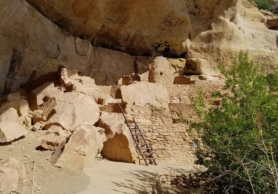
Spruce Tree House is the park’s third-largest cliff dwelling, built between about 1211 and 1278 CE by the ancestors of today’s Pueblo peoples. It has about 130 rooms and eight kivas, or ceremonial chambers, and is thought to have housed 60 to 80 people. The natural alcove is 216 feet wide and 89 feet deep. The rooms sit beneath the sandstone roof rather than on top of the mesa, which makes the whole settlement read as one compact community tucked into the cliff.
Archaeologist Jesse Walter Fewkes excavated the site in 1908, clearing fallen wall and roof debris and stabilizing the remaining masonry. The sheltering alcove protected much of what you see: about 90 percent of the visible walls, wood and plaster is original. That’s a remarkable amount of surviving material for a site visitors can read room by room.
A natural sandstone arch spans the alcove above the dwelling. It was stabilized in the 1940s and again in the 1960s, and those repairs changed how natural erosion and settling affect the rock. The arch is part of the place’s story, not just a roof over the rooms.
The museum area has separate viewpoints across the canyon; they aren’t part of the half-mile trail. One paved path reaches a solid-rock overlook opposite the dwelling, while the historic porch is the easiest viewpoint to reach. From across the canyon, keep the sandstone arch and the rooms together in the frame. That makes the scale of the shelter clear and shows why the dwelling fits so tightly beneath it.
Wildlife
 36 sightingsBlack BearMost seen around 8 PMSighting map
 159 sightingsMule DeerMost seen around 7 AMSighting map
 14 sightingsGolden EagleMost seen around noonSighting map
 53 sightingsWild HorseMost seen around 7 AMSighting map
 24 sightingsCoyoteMost seen around 8 PMSighting map
 37 sightingsWild TurkeyMost seen around 7 AMSighting map
Sighting maps show where each species has been reported across Mesa Verde. Wildlife moves, so no sighting is guaranteed.
Keep exploring
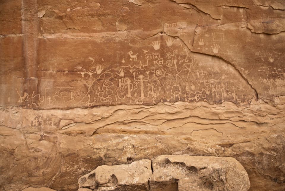 ChallengingPetroglyph Point Trail2.4 mi · 2 hr · At the trailheadA rugged loop to Mesa Verde petroglyphs and canyon views.
 ChallengingSpruce Canyon Trail2.4 mi · 2 hr · At the trailheadA steep loop into Mesa Verde's cool, shaded canyon.
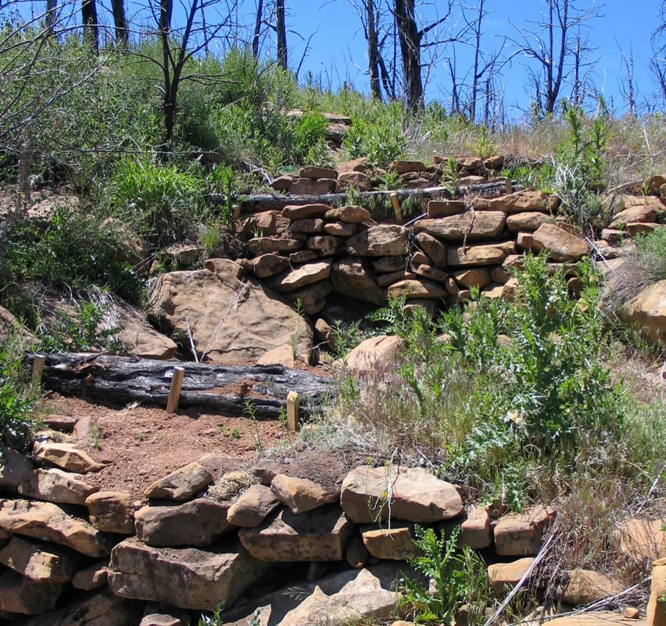 EasyFarming Terrace Trail0.5 mi · 36 min · 1 mi awayA half-mile loop through 800-year-old farming terraces
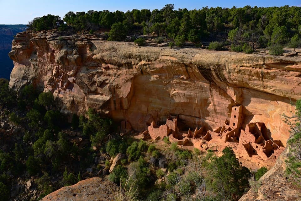 EasySquare Tower House Overlook Trail0.2 mi · 15 min · 1.2 mi awayA rare top-down view into a cliff dwelling's rooms.
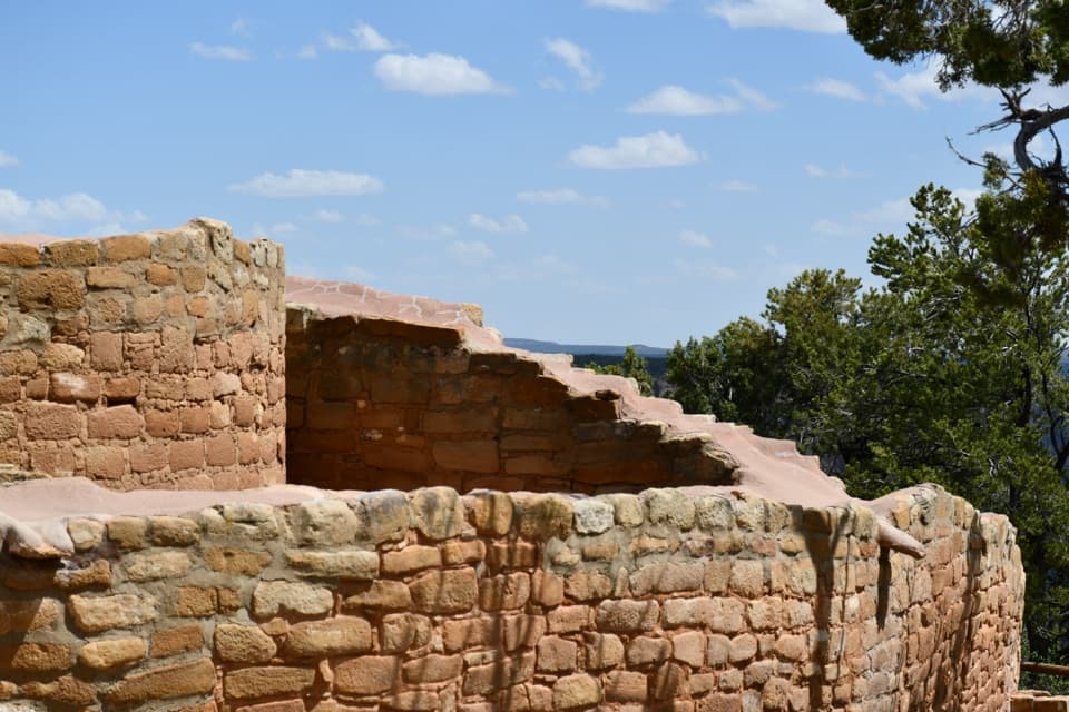 EasySun Temple Trail0.2 mi · 18 min · 1.5 mi awayA short paved walk to Sun Temple and a Cliff Palace view.
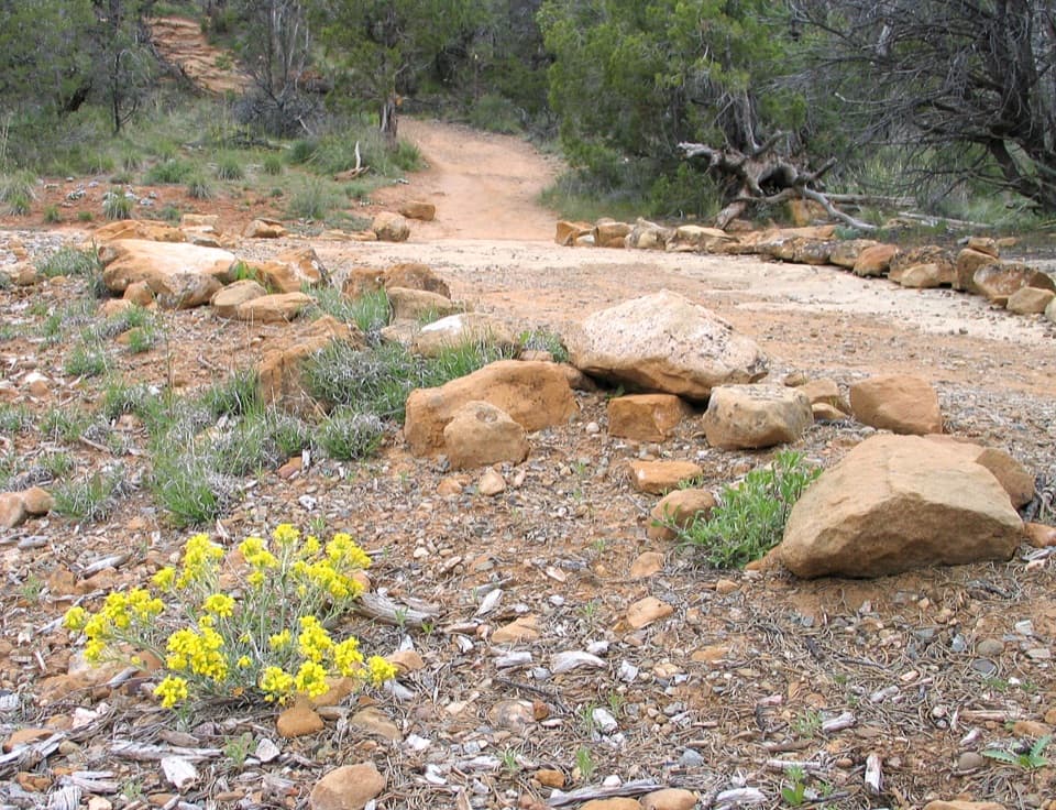 EasySoda Canyon Overlook Trail1.2 mi · 40 min · 1.5 mi awayAn easy mesa walk to three views of Balcony House
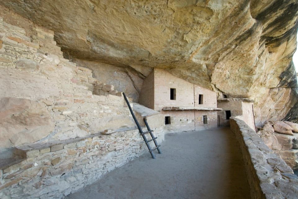 ChallengingBalcony House Tour0.3 mi · 1 hr · 2 mi awayTry the tour if steep ladders and a tight crawl suit you.
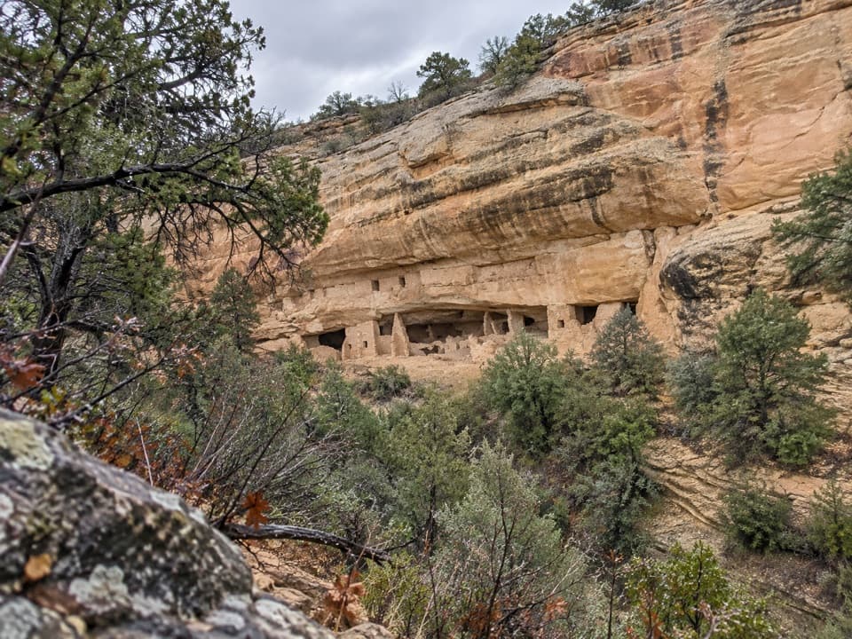 ModerateNordenskiold Site No. 16 Trail1.8 mi · 1.3 hr · 2.8 mi awayA short walk to a 50-room cliff dwelling across Rock Canyon.Sight · At the trailheadSpruce Tree House OverlookA remarkably intact cliff dwelling tucked under a natural sandstone alcove.
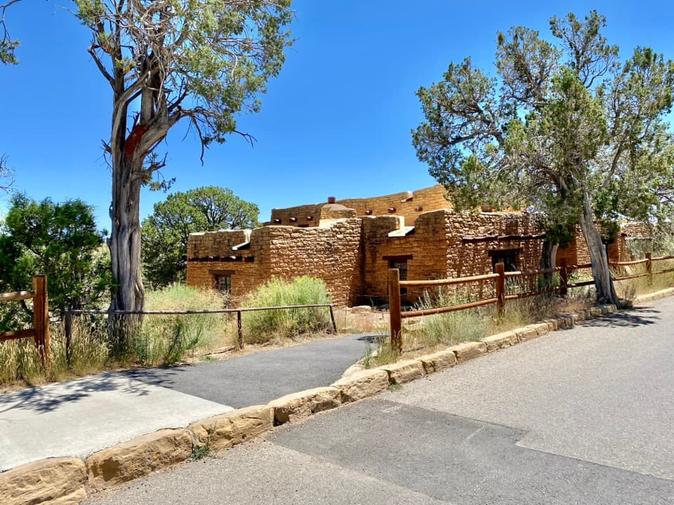 Sight · At the trailheadMesa Verde MuseumA 1920s museum built from the same sandstone as the cliff dwellings.
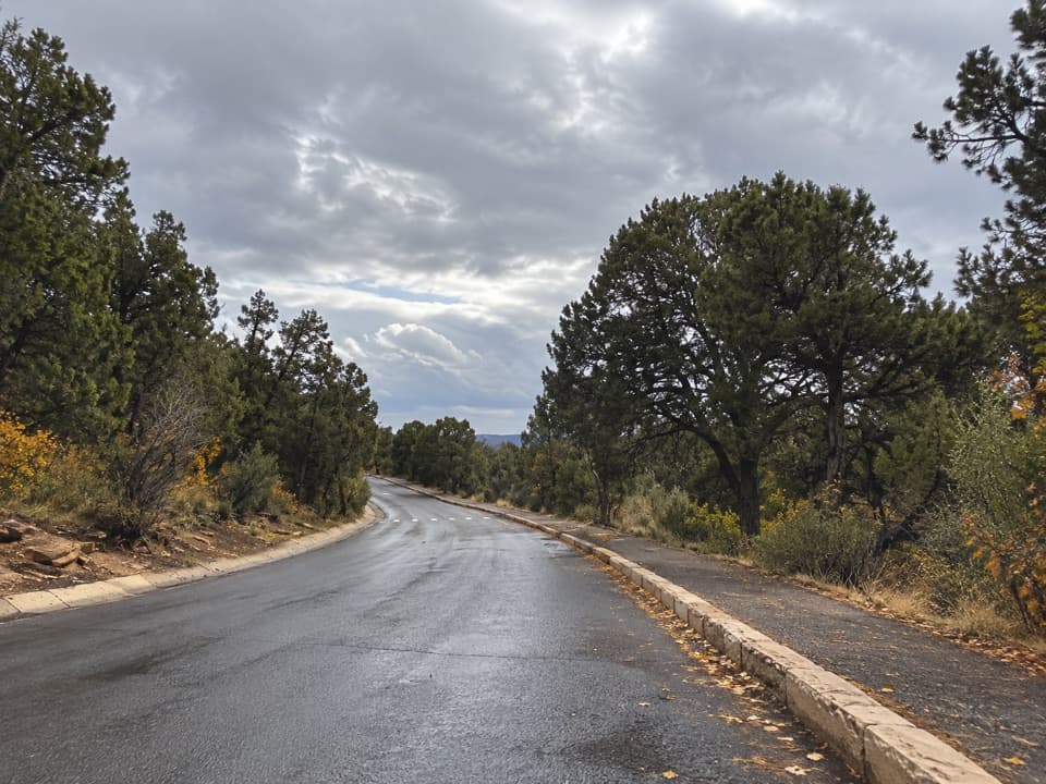 Picnic area · 0.1 mi awayChapin Mesa Picnic AreaA handy lunch break near Spruce Tree Terrace.
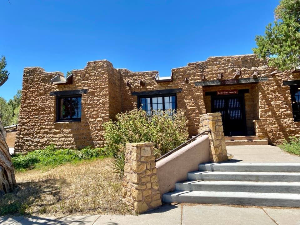 Restaurant · 0.1 mi awaySpruce Tree Terrace CaféA canyon-view patio makes lunch an easy break between sights.
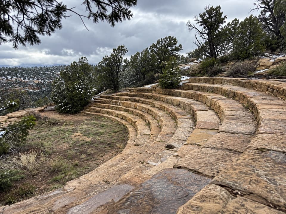 Sight · 0.1 mi awayChapin Mesa AmphitheaterA 1938 sandstone campfire circle above Spruce Canyon
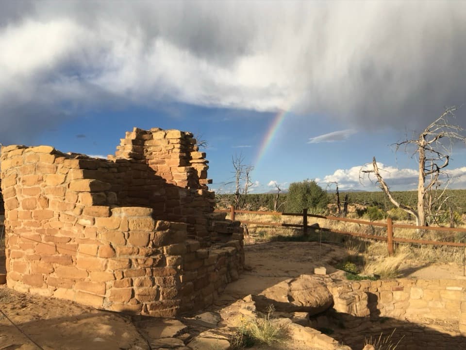 Sight · 1 mi awayCedar Tree TowerAn unusual tower-and-kiva stop beside Mesa Verde's ancient terraces.
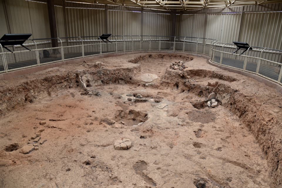 Sight · 1.1 mi awayPithouseAn excavated early home with a floor plan you can read.
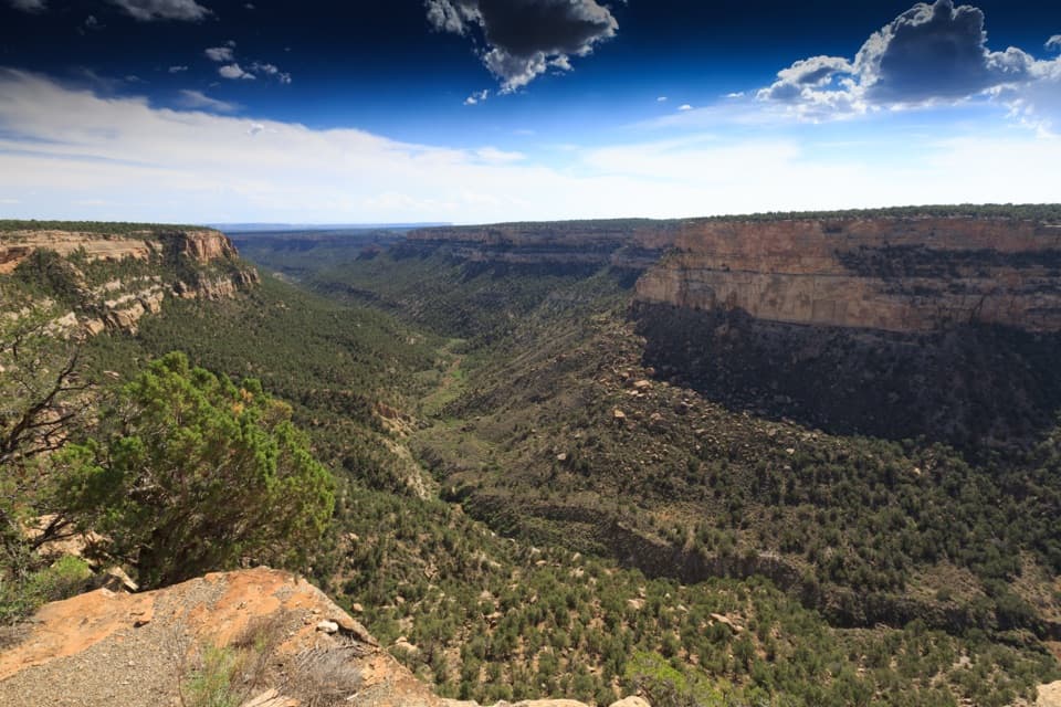 Sight · 1.2 mi awayNavajo Canyon ViewA quick paved pause over a broad, sandstone canyon.
Parkwolf’s Mesa Verde ranking

The audio tour guide for the drive, plus offline maps, trails, and wildlife heatmaps for when the signal drops.