Parking
Start at the Wetherill Mesa Kiosk beside the pavilion. Reach it via the winding 12-mile Wetherill Road; vehicles over 25 feet or 8,000 pounds are not permitted.
Mesa Verde National Park, CO
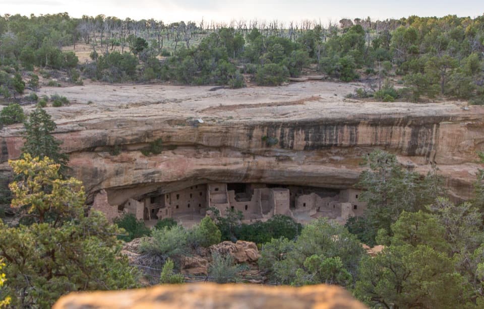
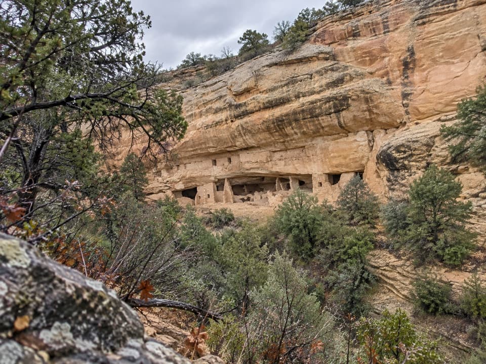
A short walk to a 50-room cliff dwelling across Rock Canyon.
Overview
Map & elevation
Plan your hike

The highest, rockiest slopes around here are a summer buffet for grizzly bears.
Mesa Verde Tour Guide
Parkwolf is a GPS audio tour guide for Mesa Verde National Park. As you drive, it chimes in with what’s ahead: hidden gems, upcoming stops, history, geology, and wildlife, right through your car’s speakers.
See the Mesa Verde audio tourRecorded for this trailhead
Wetherill Mesa and Long House“You're approaching Wetherill Mesa Pavilion, the starting point for walks to the cliff dwellings. If you've reserved Long House, allow about two hours including the walk to the ranger meeting point.”
Plays as you drive up to this trailhead in the Parkwolf Mesa Verde Tour Guide.
More stories near here in the app
“Fantastic app with many points of information… It’s great to just turn on while you’re driving and it gives you an audio tour of the national Park. We love it!!!!”


Trail guide
This designated out-and-back follows a path from the Wetherill Mesa Kiosk to an overlook of a cliff dwelling in Rock Canyon. The route is about 1.8 miles round trip, roughly 0.9 mile each way; some park listings round it to 2 miles. Plan on about 60 to 90 minutes, including time at the overlook.
From the kiosk, head south and turn right at the sign for Site #16. The path slopes down toward the overlook, so the return is uphill. The park calls it moderate and lists about 95 feet of elevation change. Much of the walk is exposed, with no shade or water along the trail.
The payoff is a view across Rock Canyon into a broad sandstone alcove with roughly 50 rooms. You look from the opposite side of the canyon; this is an overlook walk, not an entrance to the dwelling. Binoculars make it easier to pick out the stone rooms and openings from the rim.
The site is named for Swedish scholar Gustaf Nordenskiöld, who excavated it in 1891. Wetherill Mesa holds traces of nearly 700 years of Ancestral Pueblo life; here, the view focuses on one cliff dwelling set into the canyon wall.
The trail starts at the kiosk by the pavilion. Wetherill Mesa opens seasonally, so check current access before making the drive. Wetherill Road is a winding 12-mile approach with tight curves and hills; vehicles over 25 feet or 8,000 pounds are not permitted. A seasonal pavilion snack bar sells packaged food and drinks separately from the hike. Leashed pets are allowed on this trail.
Wildlife
 36 sightingsBlack BearMost seen around 8 PMSighting map
 160 sightingsMule DeerMost seen around 7 AMSighting map
 14 sightingsGolden EagleMost seen around noonSighting map
 54 sightingsWild HorseMost seen around 7 AMSighting map
 24 sightingsCoyoteMost seen around 8 PMSighting map
 37 sightingsWild TurkeyMost seen around 7 AMSighting map
Sighting maps show where each species has been reported across Mesa Verde. Wildlife moves, so no sighting is guaranteed.
Keep exploring
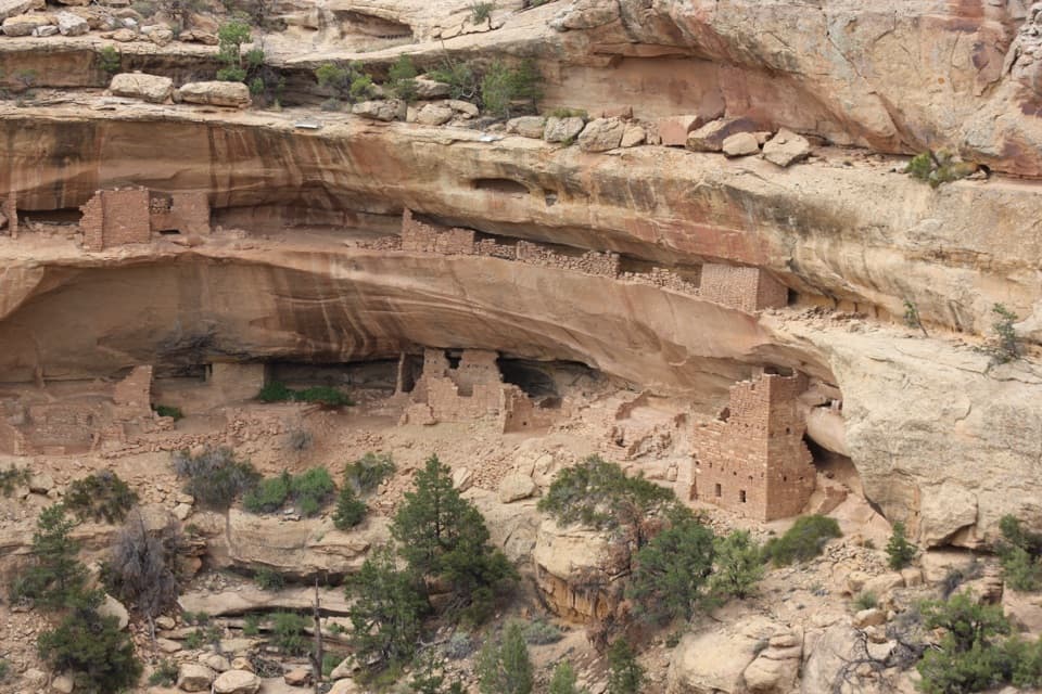 ModerateKodak House Overlook Trail4.5 mi · 2.5 hr · At the trailheadA paved mesa walk ends with a view into a cliff dwelling.
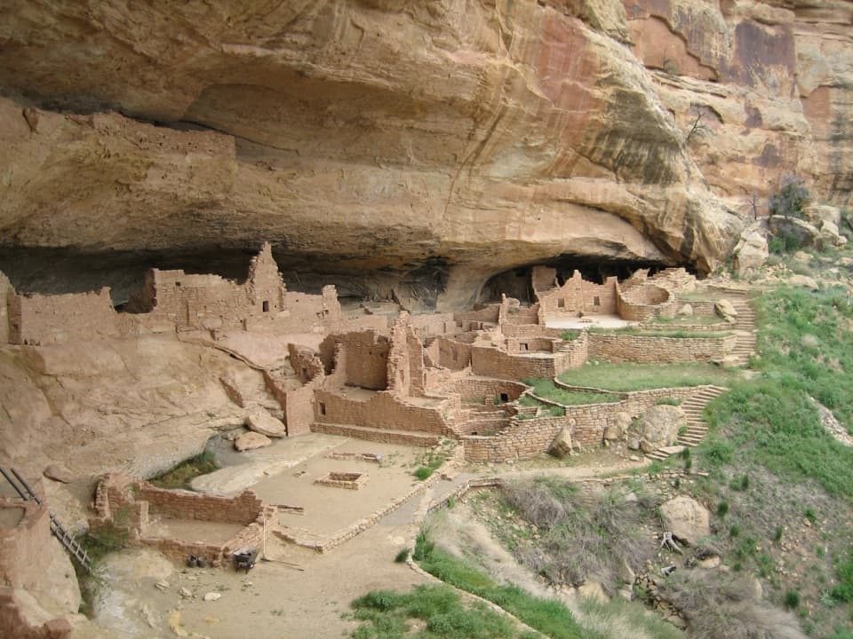 ChallengingLong House Tour2.3 mi · 2.1 hr · At the trailheadA strenuous ranger tour into a vast, 298-foot cliff dwelling.
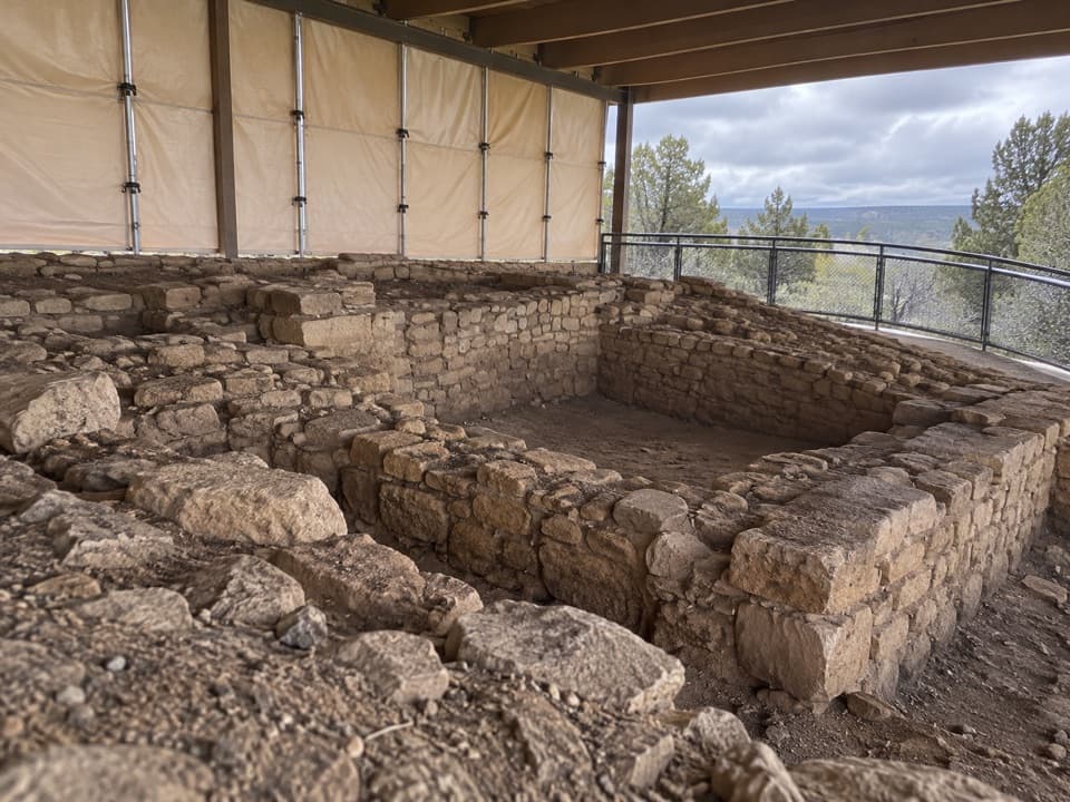 ModerateBadger House Community Trail2.3 mi · 1.5 hr · At the trailheadFour mesa-top villages make this short walk worth the stop.
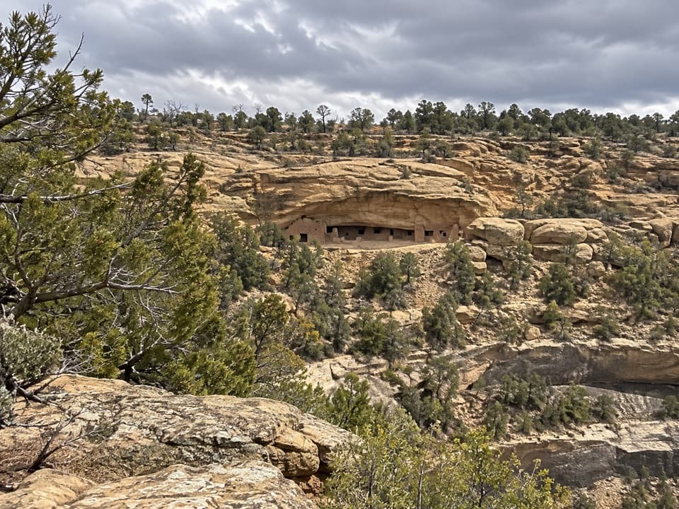 ModerateLong House Overlook Trail2 mi · 1.3 hr · At the trailheadA two-mile walk for a long view of Long House.
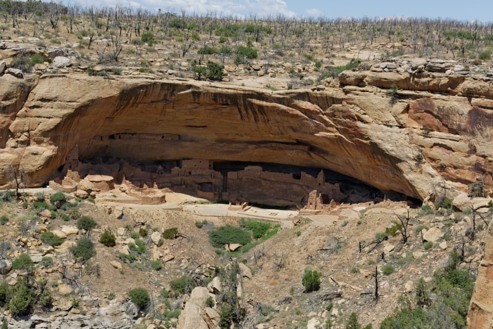 ModerateLong House Loop5 mi · 3 hr · At the trailheadA paved mesa loop to cliff dwellings and ancestral villages.
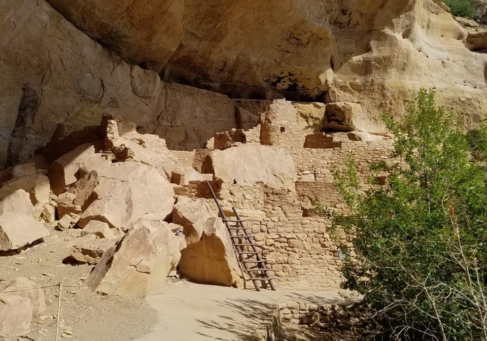 ModerateStep House Trail1 mi · 1.3 hr · At the trailheadA short, steep loop reveals two Ancestral Pueblo occupations.
 ChallengingSpruce Canyon Trail2.4 mi · 2 hr · 2.8 mi awayA steep loop into Mesa Verde's cool, shaded canyon.
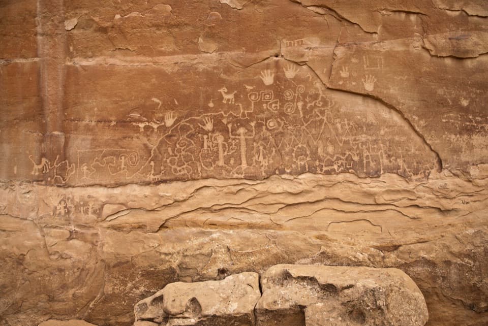 ChallengingPetroglyph Point Trail2.4 mi · 2 hr · 2.8 mi awayA rugged loop to Mesa Verde petroglyphs and canyon views.
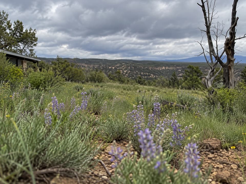 Sight · At the trailheadWetherill Mesa PavilionWetherill’s road-end hub for trail starts and seasonal snacks.
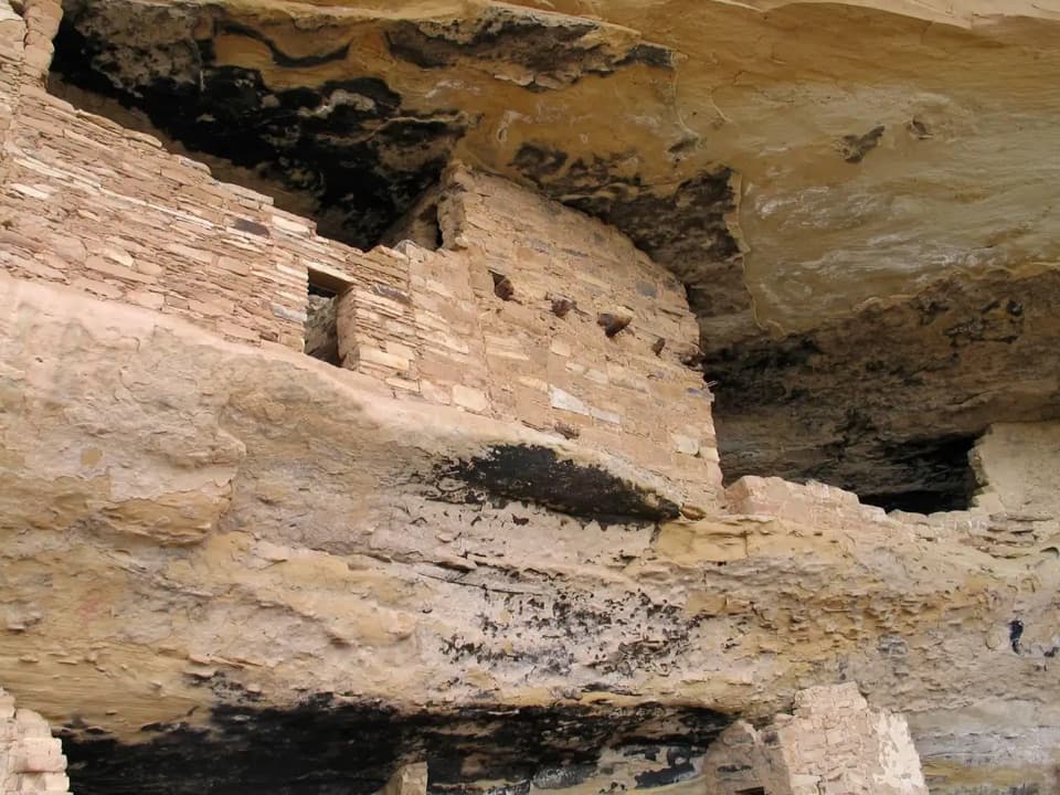 Sight · At the trailheadMug HouseAn Ancestral Pueblo cliff dwelling reached only on a ranger-led tour.Sight · 0.1 mi awayStep HouseTwo eras of Ancestral Pueblo life share one sandstone alcove.
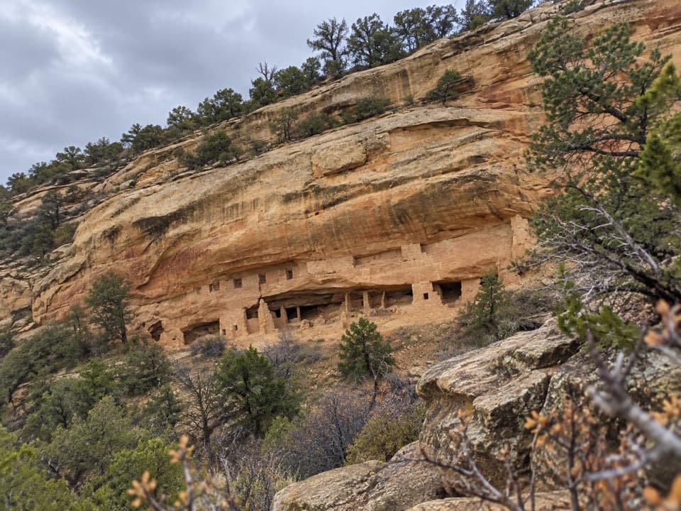 Sight · 0.5 mi awayNordenskiöld Site #16 OverlookA two-mile walk to a view of a 50-room cliff dwelling.
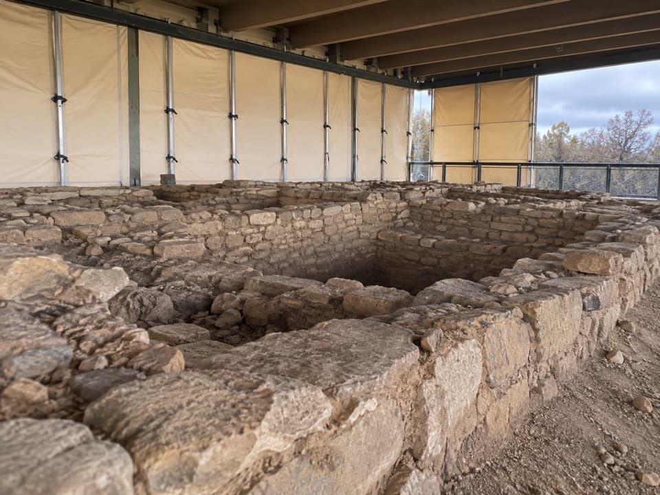 Sight · 0.5 mi awayBadger House CommunityFour village sites reveal ancestral Pueblo life on the mesa.
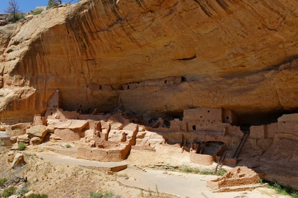 Sight · 0.6 mi awayLong HouseA cliff village of more than 150 rooms, explored with a ranger.Sight · 0.8 mi awayLong House OverlookA two-mile walk to see Long House across the canyon.Sight · 1.4 mi awayKodak House OverlookA long, exposed walk pays off with Kodak House across the canyon.
Parkwolf’s Mesa Verde ranking

The audio tour guide for the drive, plus offline maps, trails, and wildlife heatmaps for when the signal drops.