Parking
Park at the Morefield Campground Amphitheater Parking Lot; the trail leaves from its north/northeast edge. The lot is listed for cars and buses/RVs. Park admission or a valid pass is required.
#3 of 22 trails in Mesa Verde
Mesa Verde National Park, CO
Steep switchbacks lead to valley views and the winding park road.
Overview
Map & elevation
Plan your hike

The highest, rockiest slopes around here are a summer buffet for grizzly bears.
Mesa Verde Tour Guide
Parkwolf is a GPS audio tour guide for Mesa Verde National Park. As you drive, it chimes in with what’s ahead: hidden gems, upcoming stops, history, geology, and wildlife, right through your car’s speakers.
See the Mesa Verde audio tourRecorded for this trailhead
Point Lookout“You're coming up on the Point Lookout trailhead beside Morefield's amphitheater.”
Plays as you drive up to this trailhead in the Parkwolf Mesa Verde Tour Guide.
More stories near here in the app
“Fantastic app with many points of information… It’s great to just turn on while you’re driving and it gives you an audio tour of the national Park. We love it!!!!”


Trail guide
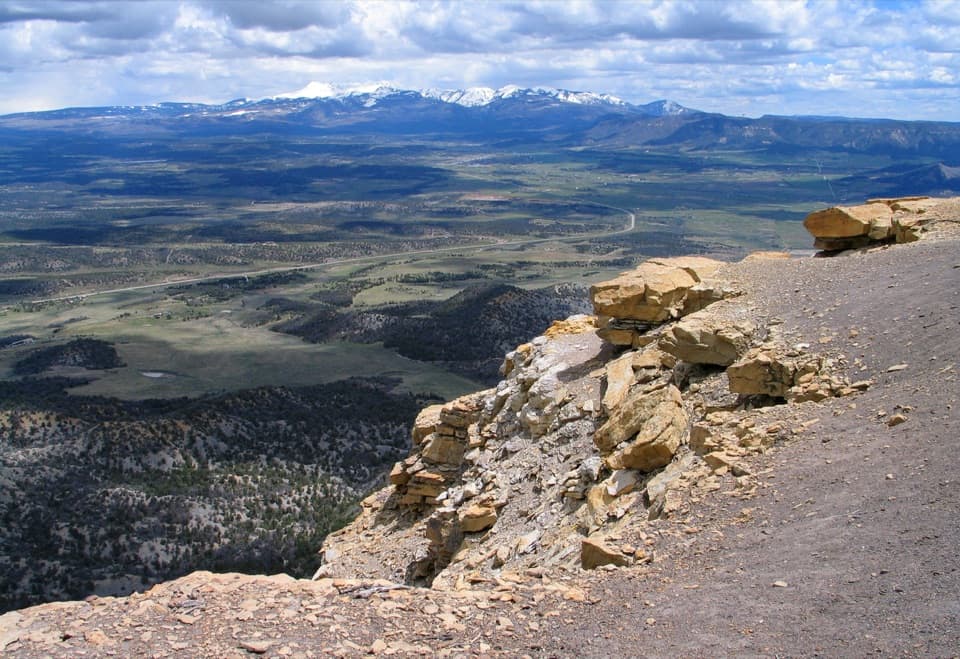
Point Lookout Trail is a 2.2-mile round-trip out-and-back from Morefield Campground’s Amphitheater Parking Lot to the open lookout above Mesa Verde’s entrance. Allow about two hours. The reason to make the climb is the broad view over the Mancos and Montezuma valleys, with the entrance road curling up the mesa and the San Juan and La Plata ranges on the horizon. It is a compact hike with a definite uphill rather than a gentle stroll; go for the long view if you are comfortable climbing at altitude.
From the north/northeast edge of the lot, the path starts with a relatively easy stretch beside the mesa, then climbs the west slope in tight switchbacks. The steep section is the work of the hike; the dirt and rock can be loose underfoot, especially on the way down. Once you reach the top, the grade eases across the open mesa toward Point Lookout. Follow the marked path to the point rather than stopping at the first place the climb lets up. The route returns the same way, so save some attention for the descent.
The endpoint looks across two broad valleys toward distant mountain ranges, and down to the park entrance road as it winds its way onto the mesa. That road is a good way to read the landscape: you can see how the park sits high above the surrounding country. For a photo, include the bends of the entrance road below the rocky rim, with the far mountains in the background. Take it from the trail side of the edge; the cliffs beyond the marked route are not fenced.
The pale caprock at Point Lookout is sandstone laid down as the Cretaceous sea retreated from this part of Colorado. It rests above the softer Mancos Shale, which helps explain the steep-sided mesa. The same sandstone records an old shoreline; uncommon fossils in the formation include clams, ammonites, crustaceans, driftwood, and palm leaves. Across the view, the La Plata Mountains formed when deep-seated igneous intrusions pushed surrounding layers upward into domes during Rocky Mountain uplift, about 65 million years ago.
The park is above 7,000 feet, and this route has a steep climb followed by an exposed, mostly sunny mesa top. Carry water, pace the uphill, and take time to acclimatize if you have just arrived. The official trail descriptions disagree on the label, calling it both moderate and strenuous; the switchbacks and altitude make it sensible to plan for the harder end. Stay on the designated path: nearby cliff edges are unfenced and unstable. This is a day-use trail; pets and bicycles are not allowed.
Use the Morefield Campground Amphitheater Parking Lot; that is the trailhead, not the separate Point Lookout peak listing. The lot is identified for cars and buses/RVs, though its capacity and restroom or water service were not confirmed. Park admission or a valid pass is required. Morefield’s campground store has basic snacks and drinks, and the Knife Edge Café in the campground village is a separate stop with a pancake breakfast; seasonal service and hours vary, so check before counting on either.
Wildlife
 36 sightingsBlack BearMost seen around 8 PMSighting map
 160 sightingsMule DeerMost seen around 7 AMSighting map
 14 sightingsGolden EagleMost seen around noonSighting map
 54 sightingsWild HorseMost seen around 7 AMSighting map
 24 sightingsCoyoteMost seen around 8 PMSighting map
 37 sightingsWild TurkeyMost seen around 7 AMSighting map
Sighting maps show where each species has been reported across Mesa Verde. Wildlife moves, so no sighting is guaranteed.
Keep exploring
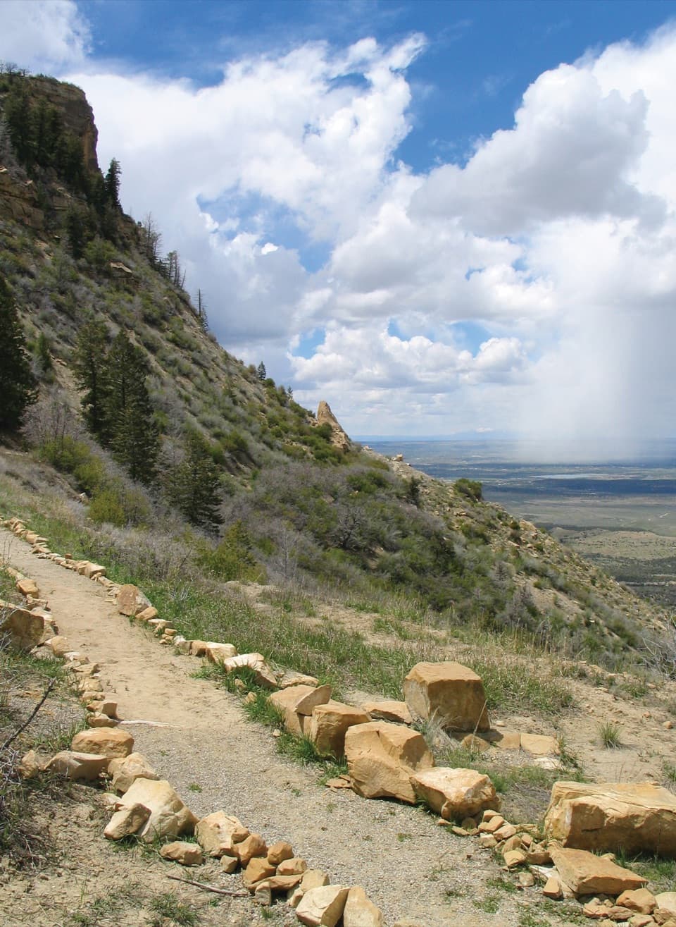 EasyKnife Edge Trail1.5 mi · 45 min · 0.4 mi awayA level old road, a wide sunset view over Montezuma Valley.
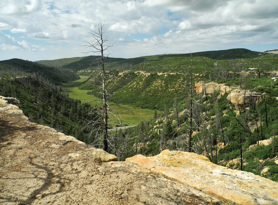 ChallengingPrater Ridge Trail7.8 mi · 4 hr · 0.7 mi awayTwo loops open onto canyons on opposite sides of the ridge.
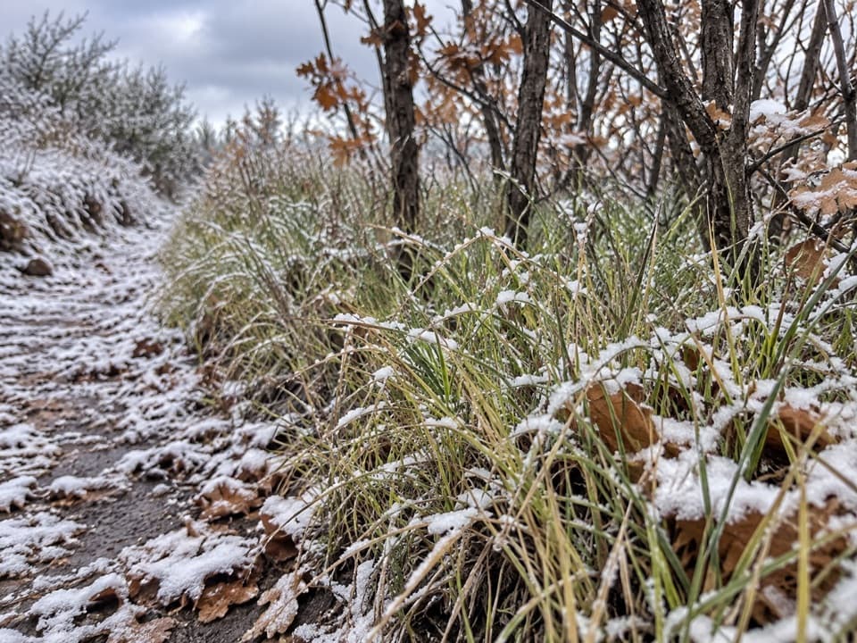 ModeratePrater Ridge North Loop Trail5.7 mi · 3.5 hr · 0.7 mi awayA steady climb opens to Montezuma Valley and San Juan views.ModeratePrater Ridge South Loop Trail4.6 mi · 2.5 hr · 0.7 mi awayA steady climb buys wide views into two canyon heads.
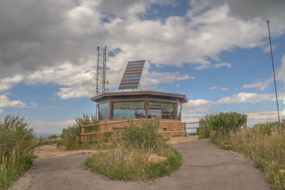 EasyPark Point Overlook Trail0.4 mi · 30 min · 3 mi awaySteep paved climb to Four Corners views from Mesa Verde's high point.
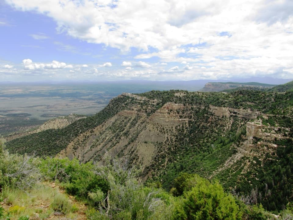 EasyGeologic Overlook Trail0.2 mi · 15 min · 4.1 mi awayTwo Mesa Verde geology viewpoints on a very short uphill walk.
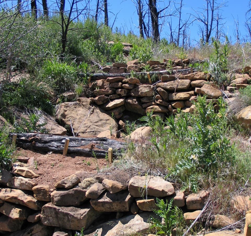 EasyFarming Terrace Trail0.5 mi · 36 min · 8.3 mi awayA half-mile loop through 800-year-old farming terraces
 ChallengingSpruce Canyon Trail2.4 mi · 2 hr · 9.3 mi awayA steep loop into Mesa Verde's cool, shaded canyon.
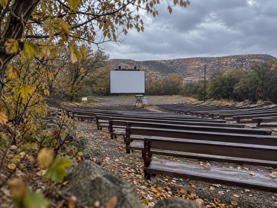 Sight · 0.2 mi awayMorefield Campground AmphitheaterRanger talks here carry on an evening tradition from 1907.
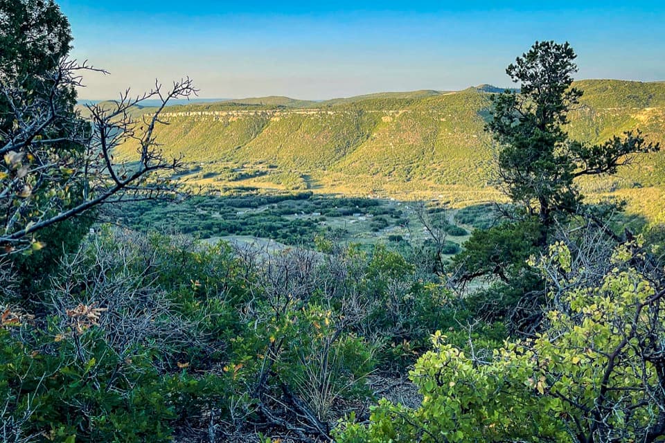 Campground · 0.4 mi awayMorefield CampgroundCamp inside Mesa Verde, four miles beyond the entrance.
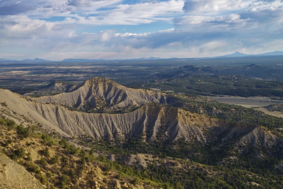 Sight · 0.6 mi awayMancos OverlookA quick roadside panorama across Mancos Valley.Sight · 0.7 mi awayPoint LookoutA 2.2-mile climb earns big valley-and-mountain views.
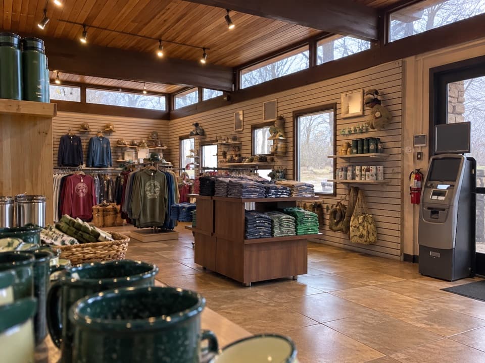 Store · 0.7 mi awayMorefield Campground StoreA quick camp check-in and a fix for the forgotten essential.
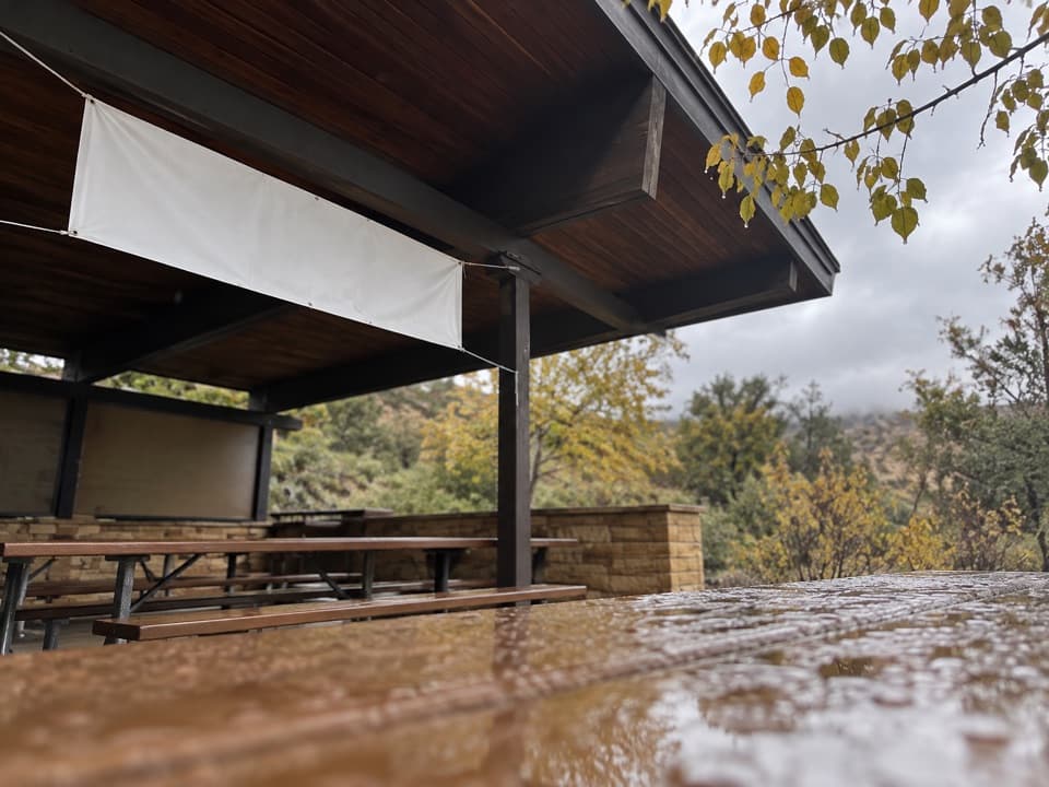 Restaurant · 0.7 mi awayKnife Edge CaféSave a summer morning for all-you-can-eat pancakes.
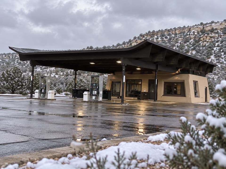 Gas station · 0.7 mi awayMorefield Gas StationYear-round gasoline about four miles beyond the entrance.
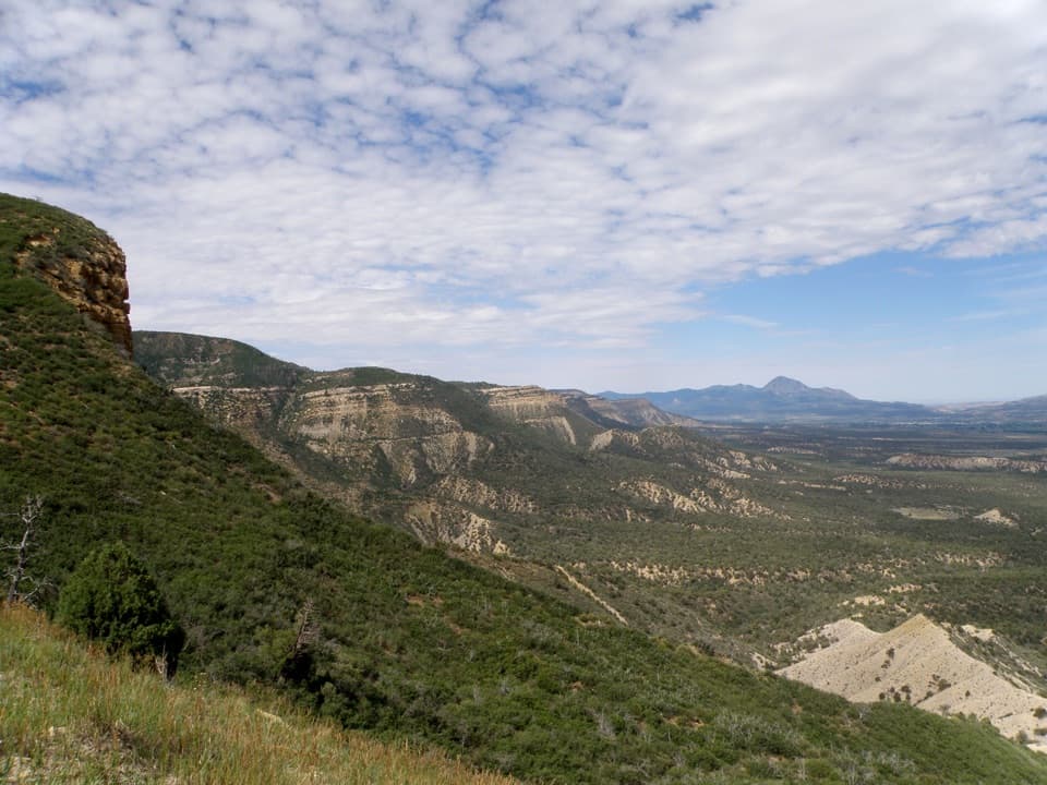 Sight · 1.4 mi awayMontezuma OverlookA broad valley view with a short Knife Edge road story.
Parkwolf’s Mesa Verde ranking

The audio tour guide for the drive, plus offline maps, trails, and wildlife heatmaps for when the signal drops.