
Place · 3.3 mi away
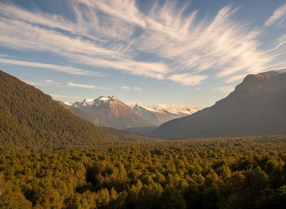
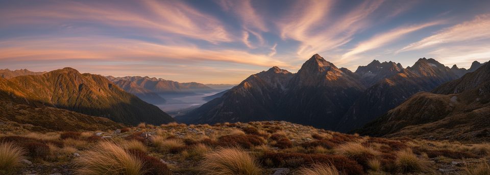
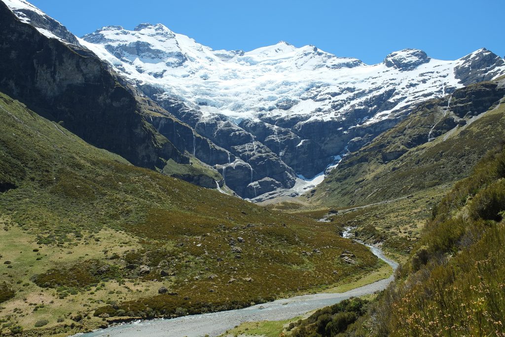
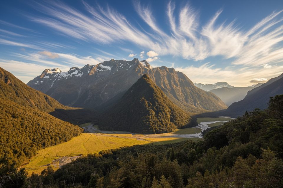
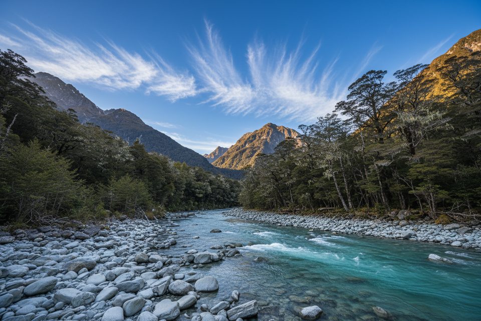
Chinaman's Bluff is the wild, end-of-the-road trailhead on the Dart River—quiet, dramatic, and a perfect launch or finish for the Rees–Dart Track. Expect braided rivers, yellow tussock, waterfalls and, along parts of the track, even a “calcified forest” near the river. It’s a place to feel small in big country and an easy choice for a picnic stroll or the capstone of a multi-day tramp.
The final stretch past Glenorchy is a compacted dirt/gravel road with numerous shallow fords. It’s fine-weather 2WD in good conditions but is prone to flooding and washouts after rain. Plan conservatively, watch the forecast and river levels, and carry extra food, water, and warm layers. There’s no further driving beyond the car park.
At the car park you’ll find a basic long‑drop toilet—bring your own toilet paper and hand sanitizer. Parking is first‑come, first‑served and spacious enough for larger vehicles. Freedom camping here is restricted to certified self‑contained vehicles only, with stays limited to four nights per calendar month; fires are prohibited and dogs are generally not allowed. Don’t expect powered sites, dump stations, or WiFi. If you prefer flush facilities, you’ll need to stop further back toward the lake towns—not here at the bluff.
The Rees–Dart is typically a 4‑day, point‑to‑point tramp. Many start at Muddy Creek and walk out to Chinaman’s Bluff, though you can go in reverse. The final leg to the bluff is comparatively flat, winding through forest and along the river. Real‑world distances can feel longer than the official figures, and you should expect frequent river and creek crossings, mud, and boggy sections. Quick‑drying footwear often beats waterproof boots, and trekking poles help with crossings and knees. Huts on the route require bookings; there are serviced mattresses, and lines for drying gear. Ambitious parties sometimes add the Cascade Saddle route as a side trip, but it’s serious country and unsafe in poor weather—treat it with respect.
Beech forests here host lively insect‑eaters like fantails/πiwakawaka, tomtits/miromiro, and riflemen/titipounamu, while the river flats often hold paradise shelducks/putakitaki. In summer, you may spot spur‑winged plovers and oystercatchers in nearby farmland. Less charming but inevitable: sandflies—carry repellent and cover up when you stop near the water.
Aim for fine weather and lower river levels. Early morning or late afternoon gives softer light and a quieter feel; midday is popular with day‑trippers. The car park is ungated, so access is around the clock, but the road and fords dictate your plan. After heavy rain, postpone—getting in is one thing; getting back out can be another.
Place · 3.3 mi away
Place · 3.4 mi away
Place · 4.6 mi away
Place · 4.6 mi away
Challenging · 4.7 mi away
Easy · 4.7 mi away
Moderate · 4.7 mi away
Easy · 4.7 mi away

Parkwolf Tour Guide
